It was late October and I felt like getting away. Although, I didn't want to spend the resources or the effort to go very far.
So we went the ~300 kilometres to Central Newfoundland, to the Twillingate area, to clean up a few highways which I missed on my winter journey.
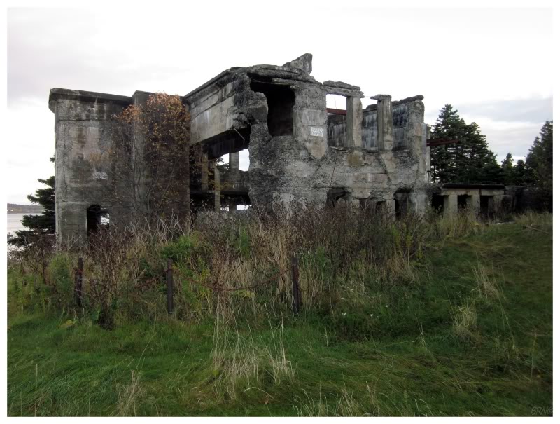
Sleeping in Twillingate, we got an early start & came to the Campbell Sawmill shortly after sunrise. I'm pretty sure I can tell you the name of this one, seeing as the town's welcome sign features the ruins.
As you can see from the above picture, this sawmill hasn't been in operation for a while; but it was significant enough to lead to the town's name: Campbellton.
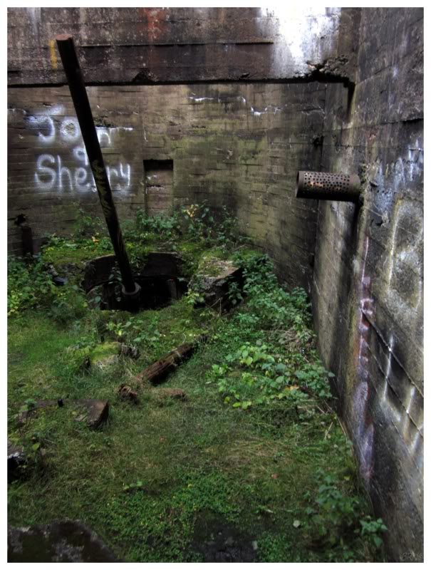
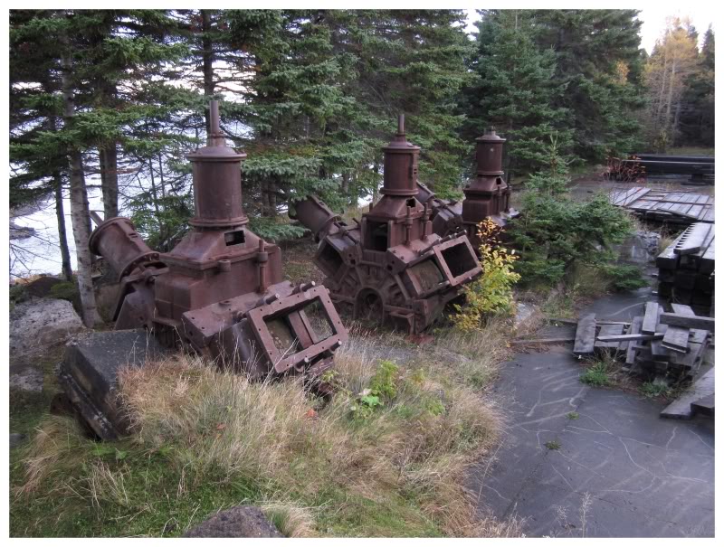
The few pictures I've seen from this place, all seem to be from the main space inside the mill. I had no idea there were engines or unique rooms or a long tunnel here.
It proved to be a lot more interesting than I imagined.
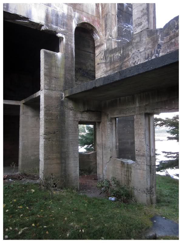
I should have set the tent up here & saved the egregious $110 motel rate in Twillingate.
I'd also like to come back here on a morning with better weather than whitewashed skies we had this day.
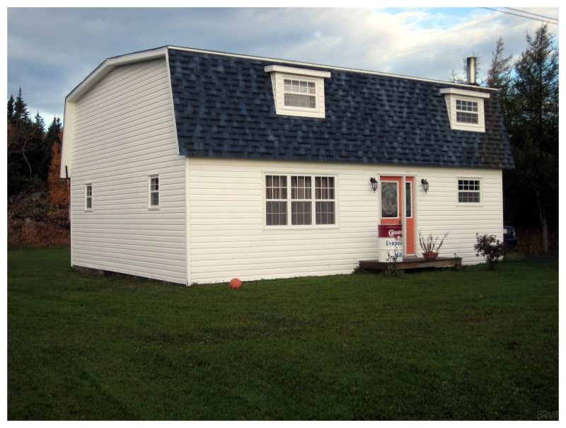
The NL-343 is a 15km highway not far from Campbellton. It leads to Comfort Cove-Newstead, and there wasn't much there besides a sleeping Intrepid and this evaporated milk garbage can.
(Newfoundlanders used to drink canned milk because there wasn't the infrastructure for milk transportation, electricity for refrigeration, or open pasture for dairy farms. They still drink the stuff as a matter of tradition. (It tastes just a little creamier and sweeter than normal milk in my opinion)).
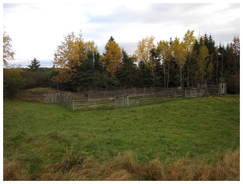
There used to be a provincial park along the way to Comfort Cove-Newstead, but we failed to find it. I figured that we didn't need great directions because the peninsula is only about 500m near the old prov park; but after trying a few roads, we gave up. (I did see the Comfort Cove-Newstead community pasture land, above, haha).
(Newfoundland abandoned about 1/2 of their provincial parks in the 90s, many of which were really spectacular. If I know there's an area which used to be a provincial park, I generally want to explore it.)
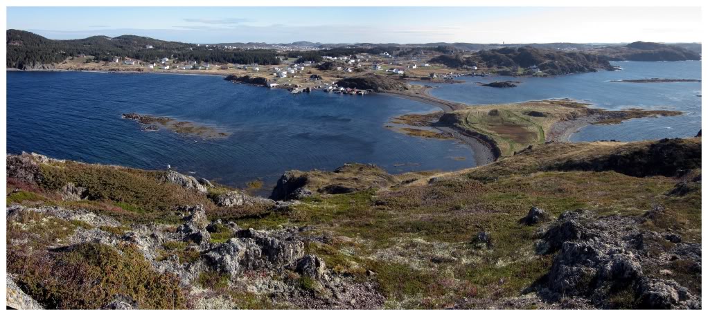
Now that I checked off another Newfoundland road, we returned to the main highway & drove to the northern point of North Twillingate Island. Shahlene hadn't seen the Twillingate Lighthouse before, so that was an absolute necessity. We also drove through the town of Twillingate itself, which ranks high on the list of attractive Newfoundland communities, with many aged buildings around a central, scenic harbour.
We drove around the communities adjacent to Twillingate as well. Coming to Back Harbour, there was an inviting isthmus showing a path towards a head of land not far away. I was willing to pass, but Shahlene wasn't having it...so we climbed the 145ft nameless head of land at the opening of Back Harbour.
The view was nice & we couldn't ask for much nicer day in late October I suppose...
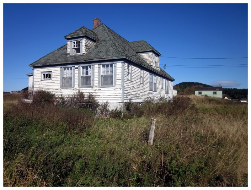
House in Back Harbour...
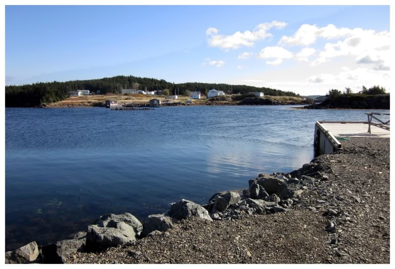
Leaving Twillingate, we went down the western coast of South Twillingate Island, cleaning up more communities.
This is Kettle Cove, looking across at Kettle Cove South.
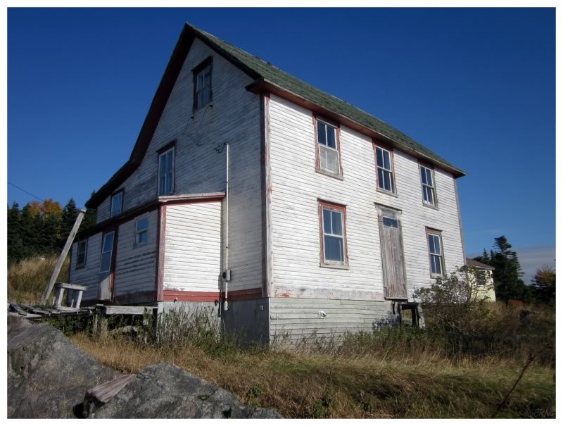
We went through a couple of forgettable towns in a row & my enthusiasm to drive down all of these side roads & through all these communities was starting to wane...
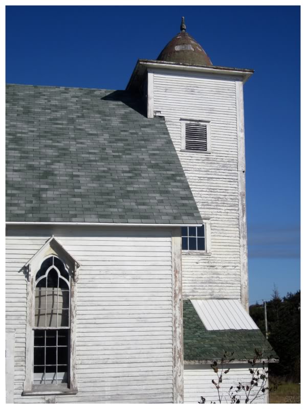
Thankfully we came to Little Harbour, which was set on a curving road, elevated over a pleasant harbour. Even with its small size, Little Harbour had an impressive number of attractive, old buildings.
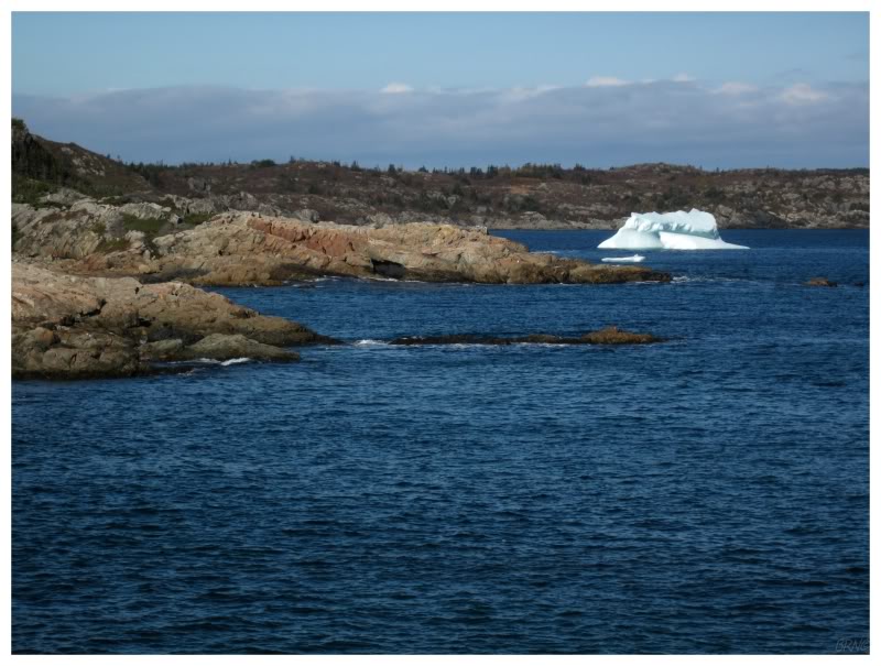
There were also two icebergs!
(There was a bigger one to the right of this picture, I'm not counting that little piece in front.)
This was shocking to me, as I had no idea that they were around here in October...
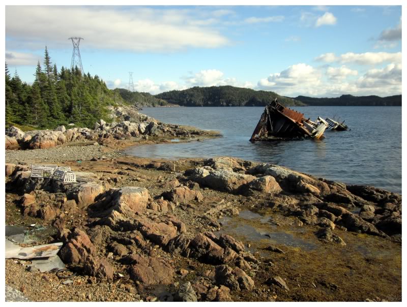
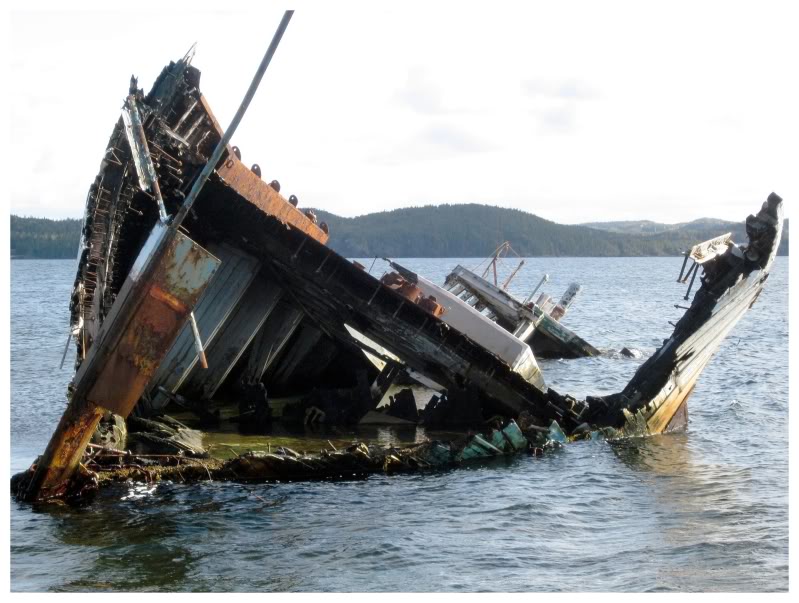
It was funny, that after complaining a bit, there was an awesome town with old buildings, then icebergs, then a decaying ship...
It goes to show the value in exploring all areas.
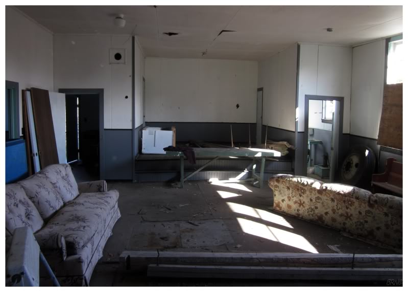
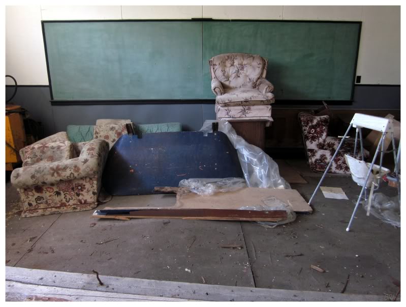
Back on the feeder road, there was a schoolhouse I noticed before, one which I went out of my way to see afterwards.
A neat little building. You know how I love abandoned schools.
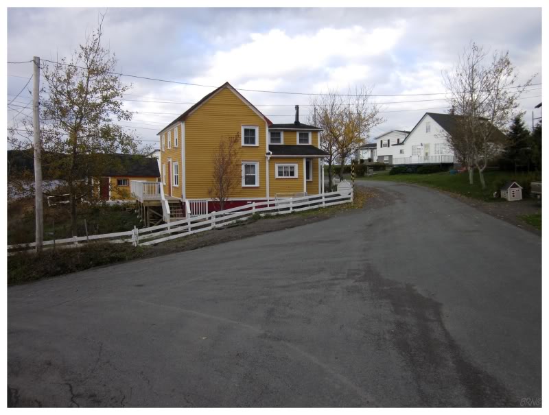
That decaying boat was in the last community I hadn't seen on the Twillingate Islands, so we moved across the causeway to check out places like Indian Cove, Newville, Hillgrade, Fairbanks & Tilt Cove.
The above picture is from tiny Hillgrade. Apparently Hillgrade used to be called Salt Pans, which I personally prefer.
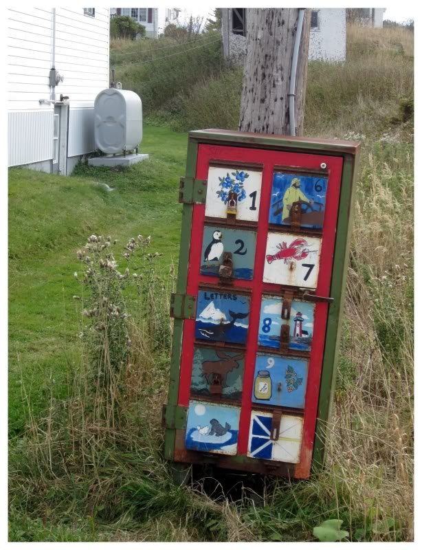
I think this was in Tilt Cove or Fairbanks: a post office box painted with different Newfoundland 'things' for each resident!
I'd clearly be #8. My buddy Desmet would be #7.

We continued and drove down all of the NL-345 as well.
Moreton's Harbour & Tizzard's Harbour are accessed by this road, but I had to take a picture of the smallest post office in Valley Pond. Bridgeport had a similar-sized post office.
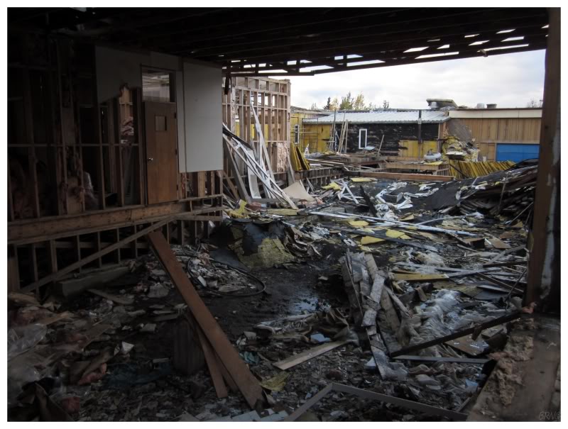
A small distance back along the highway, I checked on another school I knew about.
This one had been sealed up tight not very long ago, but now it seemed that they were doing that Newfoundland t'ing of demolition by dismantling - leaving behind only the 1/3rd of the building they still use.
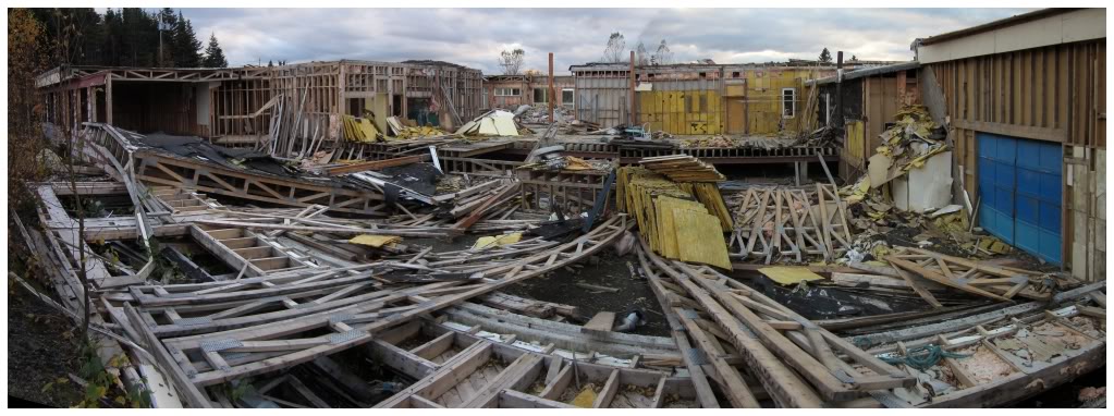
It was getting into the evening & we had seen what we came to see.
We drove straight home from here; avoiding the ridiculous motel prices of Newfoundland.