I inspected Google Maps, where 28 blue pins marked the villages I hadn't yet seen. About half of them stood on the Bonavista Peninsula, as I never found the time to wander their other coves, where I didn't know about lighthouses or ruins beforehand.
The drive across the island to the start of the Bonavista Peninsula takes about 4.5 hours, only broken this day by a detour to Greenspond. Having only camped near the Trans-Canada around here, tonight there was the excitement of stealth camping somewhere along Greenspond's NL-320.
Unfortunately, a surprising number of roads had gates or showed little promise. It took driving all the way to Trinity before noticing a quarry, one that was good enough to share with mosquitoes and excavators that'd send wake-up alarms early in the morning. Laying in a tent during an otherwise silent morning, you become quite startled by the back-up beeps of heavy machinery - especially as you only rely on your ears as a gauge of distance!
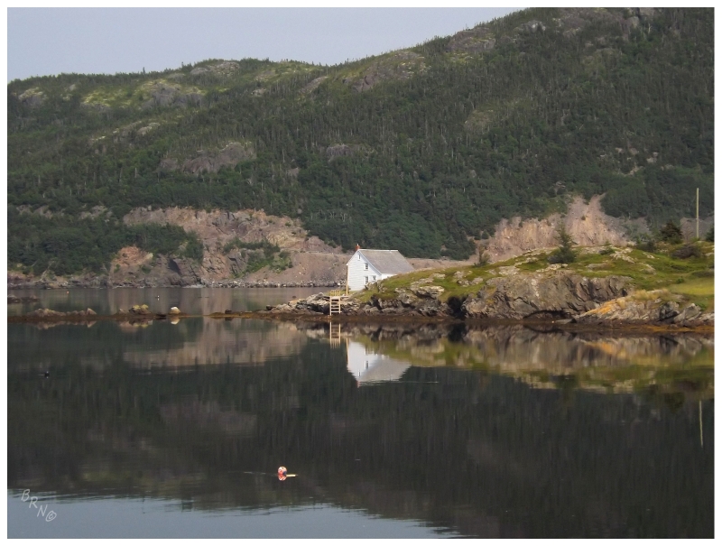
Anyway, fresh off success at St. Jacques Island, it was time to get the lighthouse at Greenspond.
Or maybe it wasn't time. I don't know what I was thinking, but I thought it would be a good idea to arrive at low tide - which is moronic when you have a Newfoundland fisherman bringing you out in a small boat with an outboard motor. They don't want to be down in the weeds, rocks and rubbish; they want to sit up high and skim over to the island.
At least with sleeping on the NL-320 and being in Greenspond so early, there was now a whole day ahead. Steps were retraced back to the Trans-Canada Highway, taking the eastern exit towards further destinations.
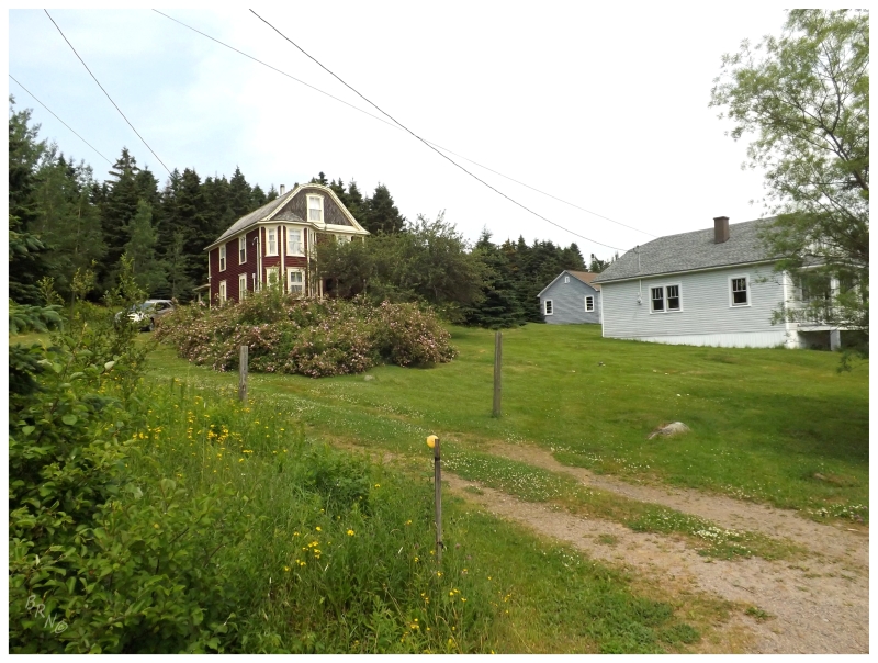
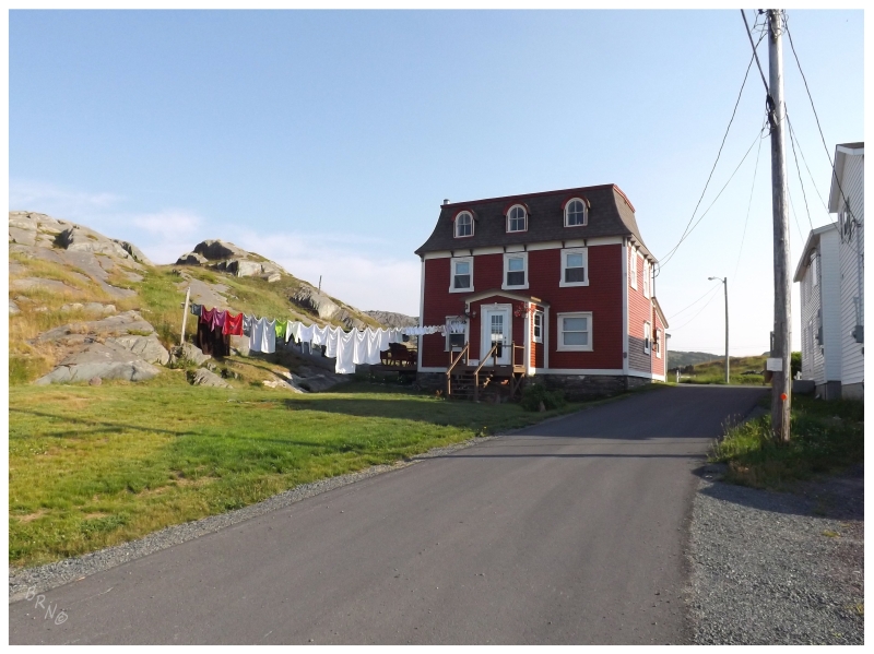
The Archibald Bennett House, built in 1890 by the namesake local carpenter.
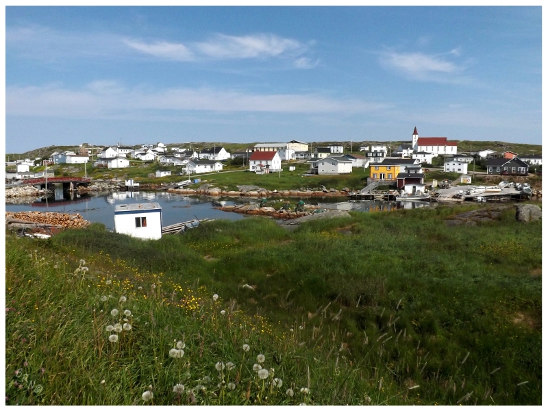
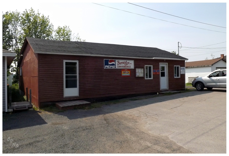
The Bonavista isn't the largest peninsula by any means, but it adds up when you want to turn down every highway. The first step was driving 25km (15mi) east, then taking the first branch highway (NL-234) to reach Brooklyn Newfoundland for #771.
Contrary to what you might think, Brooklyn isn't named for the more famous home of Talib Kweli, Jay-Z, Fabolous and Papoose - the name actually comes from the collection of brooks running through the community!
(In case you're wondering, Brooklyn N.Y. was named after a place in the Netherlands, not the numerous brooks in their community.)
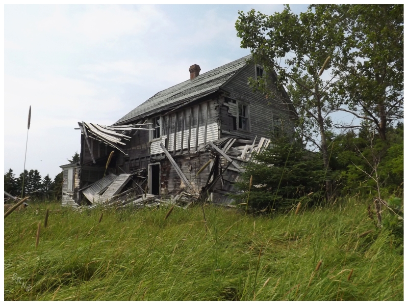
A few hundred feet down the road from that beautifully restored Archibald Bennett House, I couldn't pass on stopping at another house which hadn't fared so well. As I was expecting Brooklyn to end soon - and obviously needing a good picture from a place named Brooklyn Newfoundland - I was taking all obvious opportunities to stop.
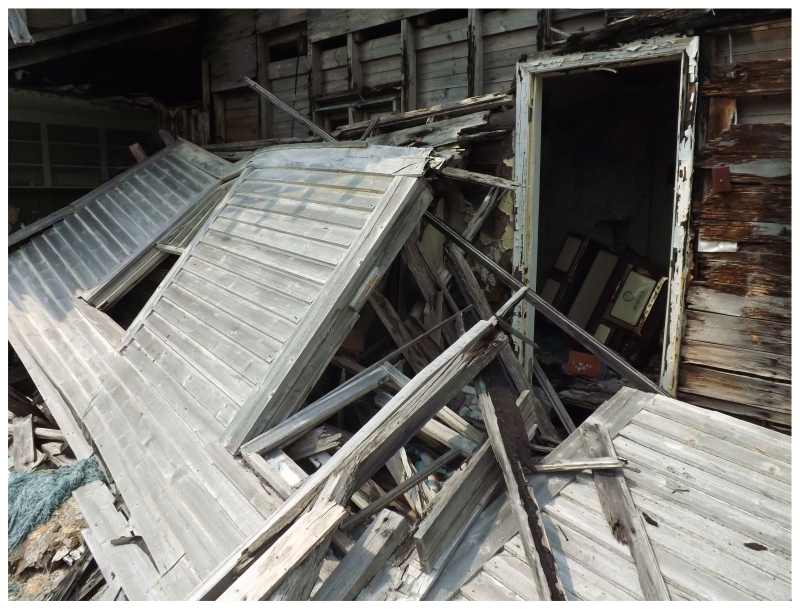
This house looked really neat inside, but after a nail squeezed through the soft soles of my Etnies, I retreated.
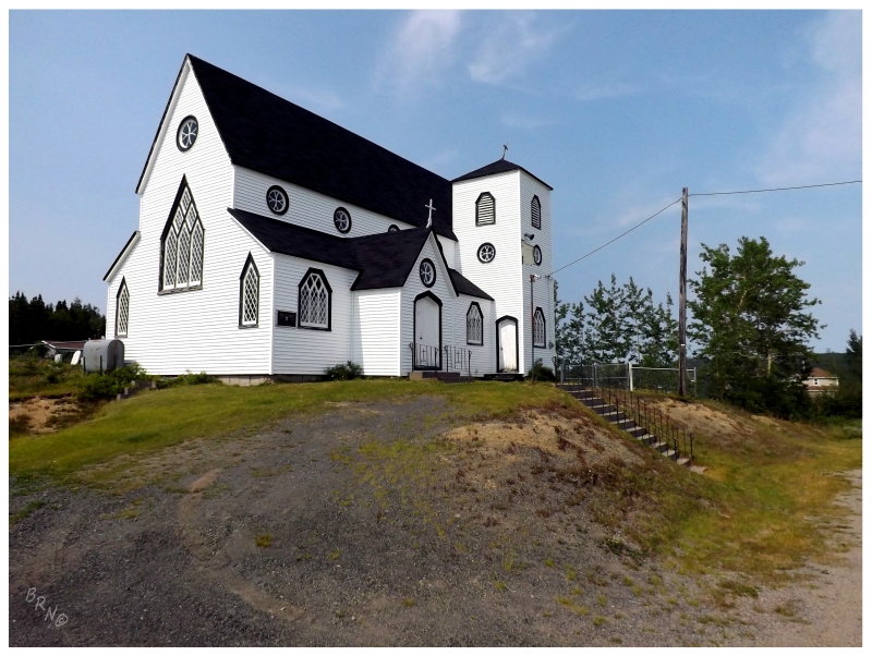
The last stop was also in Brooklyn, as an impressive Anglican Church loomed over the hillside from its place on top of a small hill. Built in 1879, St. Andrew's Anglican was yet another nod to the wealth of this area at one time.
You can see why I was looking forward to checking out these places here, even if I didn't know of any lighthouses or ruins. Many communities along the Bonavista were so prosperous and well-inhabited at one time, that there's still plenty of great stuff to see wherever you go.
One last stop was made in Brooklyn, as finally there was something besides the welcome sign saying the community's name.
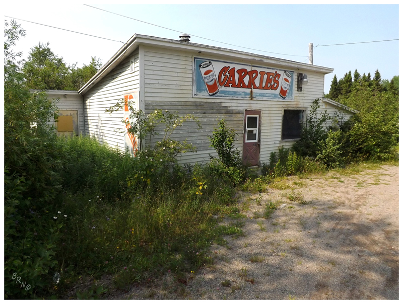
Portland was the next community along the road, a sleepy place, with overgrown buildings and very few people afoot. I would have went about checking out some of these buildings, but I really needed to use the washroom - so I headed to Carrie's!
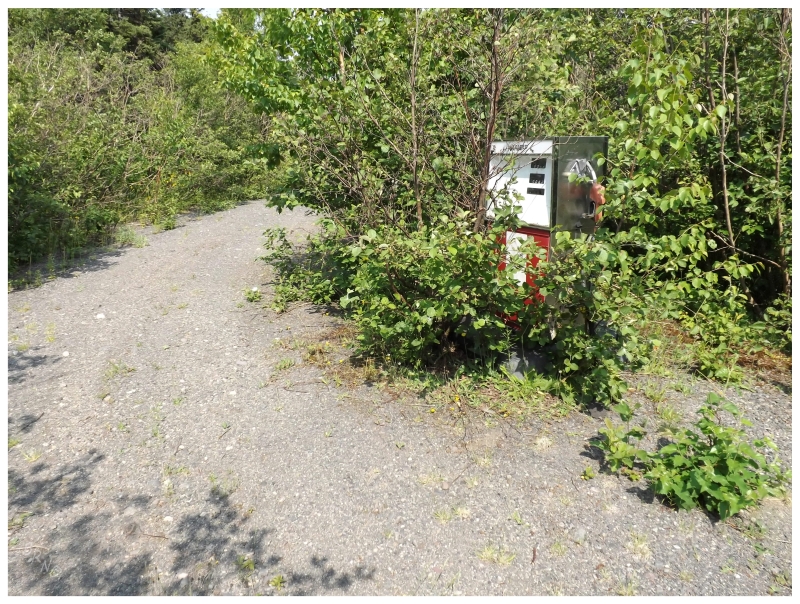
Carrie's must be closed on Saturdays, so I had to make due with wandering into the nearby woods...where I found old gas pumps that you'd never see from the road! Neat!
Portland Newfoundland doesn't take its name from Oregon or Maine, but instead from Portland, England. The reason for this is because Portland England has white cliffs along its shore & Portland Newfoundland has white rock visible as you approach by sea.
(If only I had discovered the Encyclopedia of NL before I went to Portland, I could have upped my geography nerdiness with a picture of said white rock!)
The next community along this road was Jamestown - a lumbering village, with flat shores surrounding a wide harbour.
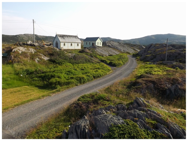
Their St. James Anglican Church was worthy of a stop, a visit inside and a sizing up of the handrail out front.
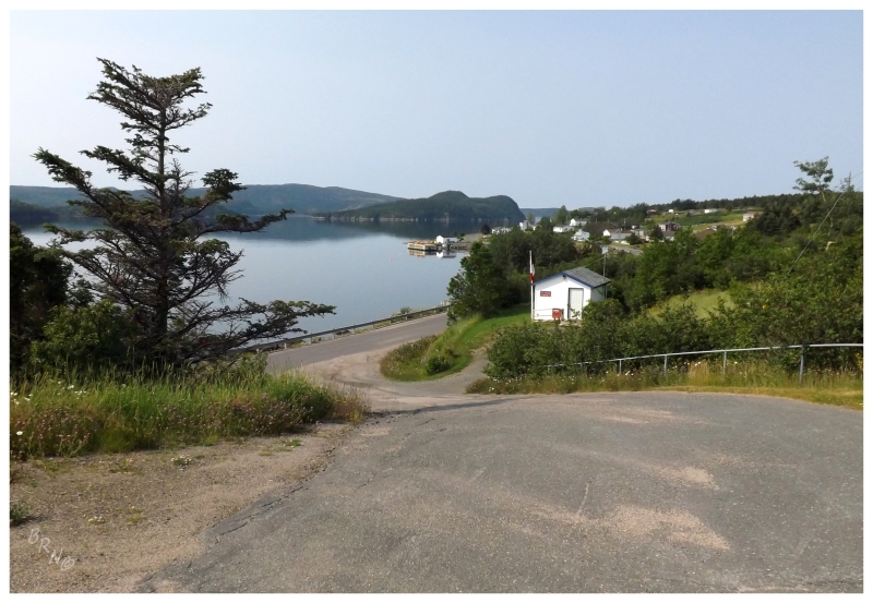
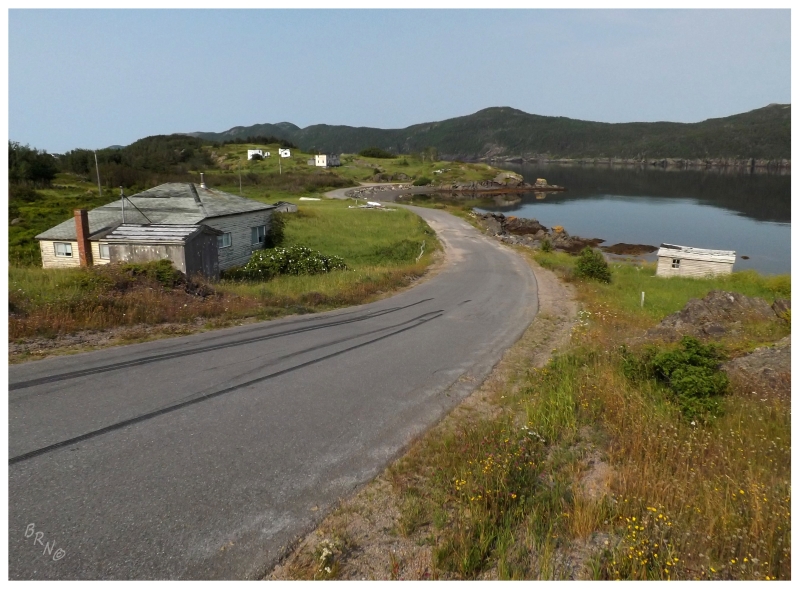
The 16 kilometer (10 mile) NL-234 ends at Winter Brook, a name I personally don't find all that exciting around "American" names like Brooklyn, Portland and (also nearby) Charleston. Regardless of that, after cutting through the inland forests of this small finger of land to arrive at Winter Brook, it held my interest by feeling like a place further off than the others.
The population of Winter Brook only stands at about 65, and while there's little motivation to resettle a place where you only need to maintain a 6.1 km (3.8 mi) road from Jamestown, the sleepy community was more like a distant outport.
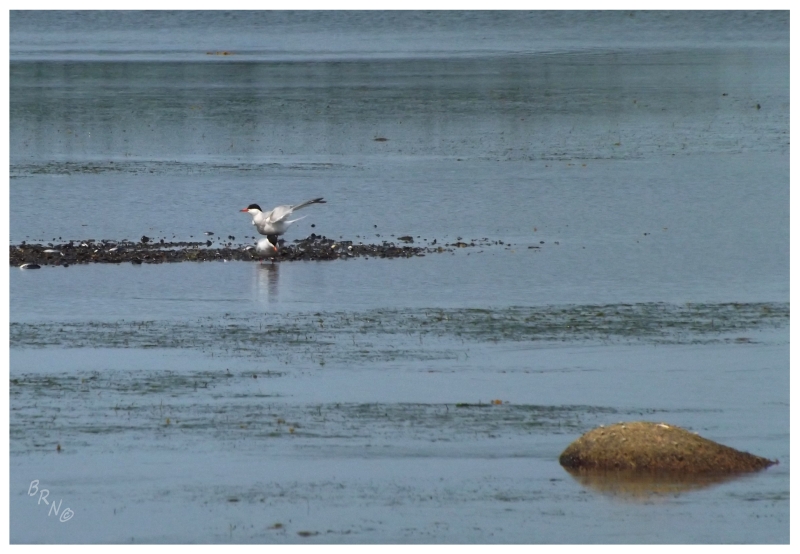
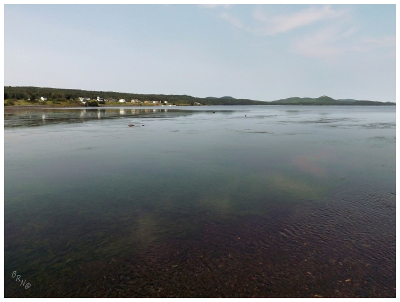
I took time to park the car and dance along the sandbars where Winter Brook spilled into Sweet Bay, watching the yellowlegs and terns grow uncomfortable with my presence.
Returning to the main Bonavista highway, I never counted Charleston before, since the highway skirts the community and you can look and see the community, but you don't actually pass through enough of it to count.
Thankfully today I'd have to drive through Charleston (#775) if I wanted to get to Sweet Bay (#776).
Finding the end of Sweet Bay, the calm winds, lovely temps and sunshine all added to the wholesomeness of this bay (well, y'know, the sweetness).
Summerville was similar to Charleston in that it lay just off the road, a detour of a few minutes before you come to the end.
Once at this end of Summerville, you find yourself at an overly fancy, restored building of some sort with a worn, tired house down the hill.
Summerville, along with upcoming Plate Cove West, were both big enough to at least create the most minimal of street network (that being one square of streets, instead of a singular main road).
One of the roads must have led out to this house, although I simply admired the salt box from across the bay.
After a brief stop at an abandoned bar, where I was surprised to not find a way inside even as the place looked like it was about to fall down - and another stop at the King's Cove Lighthouse, which I've covered here before - it was on to the NL 235-20 towards the communities of Duntara & Keels.
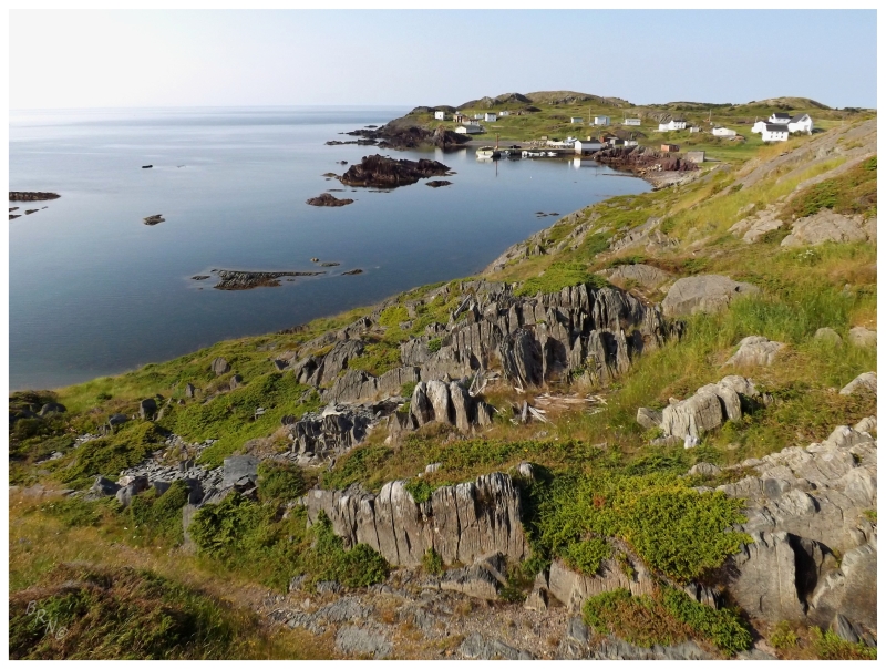
Keels started out the day like all the others, dots on a map where I had no prior knowledge or portrayal. This would mean a pleasant surprise here, as I didn't know the opulence of their houses or the beautiful, jagged cliffs upon which their village sits.
I could sit here and script this entire day now knowing everything I've presented in this update & there's still no other town I would have chosen to reach near sunset. There still wasn't a set place to camp tonight, so while there were thoughts of camping just behind Keels, why camp at a place like that unless you plan to walk or photograph the community later on in the night?
Keels was savoured, considered for the top 10 communities on the island, then it was onward to the community of Bonavista.
Nearby Spillars Cove was quickly visited for #7810, before a few supplies were purchased and the local metropolis of Bonavista was left behind. I had some nearby pre-scouted locations as ideas for places to camp, but with such progress today, I now wanted to stay closer to Elliston.
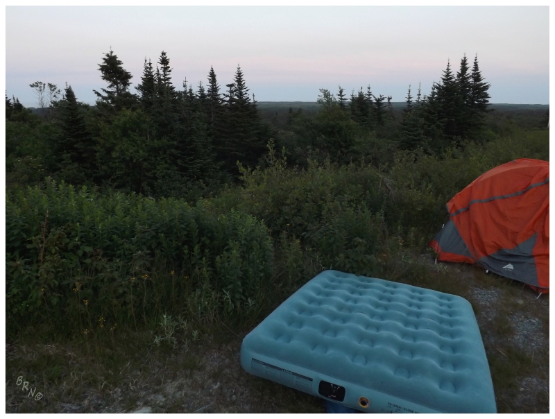
As the land down here is more boggy and has more trees, the number of stealth camp spots declined. After deciding against a couple of fields near Bonavista, thankfully I noticed a "tower road" just after passing by Elliston. As the sun fell over the beautiful rocky islands offshore, a campsite atop whatever plateau tower this led towards was a great idea.
Pulling off the highway, it was immediately evident that Tower Road was only usually passed by 4-wheel vehicles. Deep channels and loose rock meant nervous progress, before covering about 100m and accepting that 4-wheel drive was required to go any further. This was high enough to just barely be able to catch glimpses of the islands offshore, but regardless, this was a nice, quiet spot to squeeze off-road and hope no one would head up Tower Road after nightfall.
If there's something I'll remember about this campsite, it would likely be the quiet and isolation. Very few cars drove down that Elliston Highway after dark.
In the morning, I started up Tower Road to find out what exactly was at the end of this gravel 'path' (attaining an early-morning view over the surrounding land played into my decision as well.)
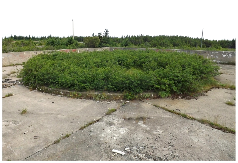
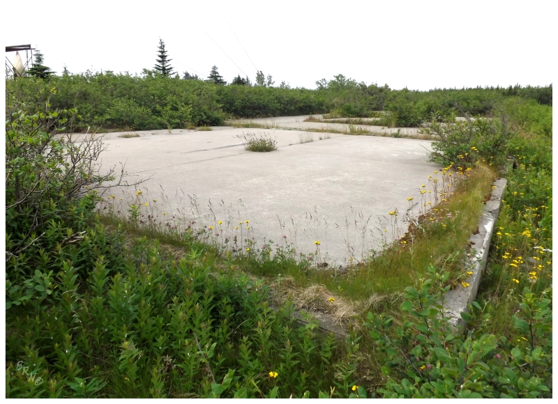
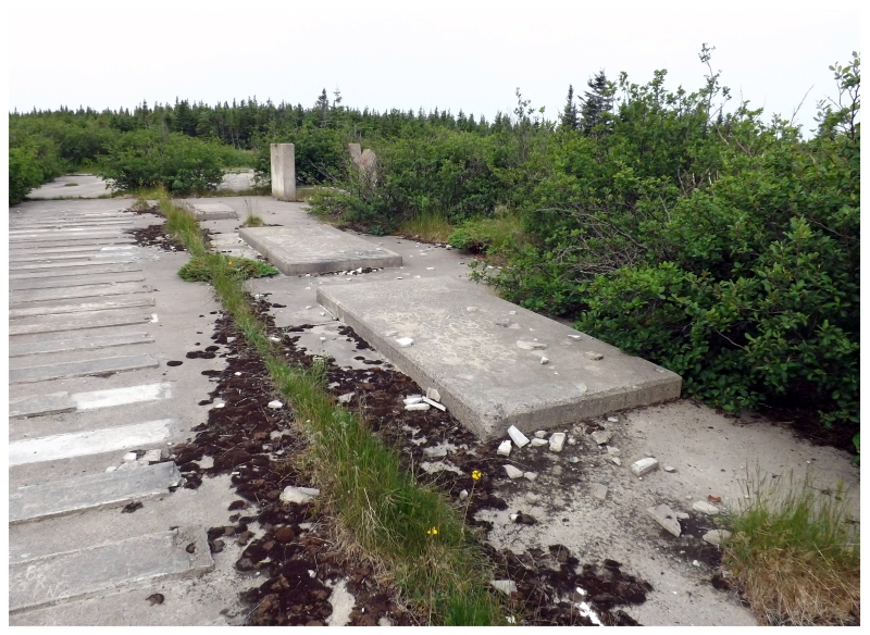
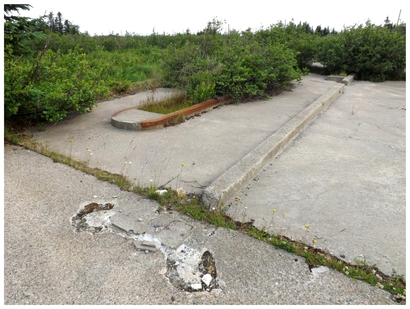
It turns out this was the Elliston Ridge Pinetree Radar gap-filler site - something I would have known if not for the great Pinetree website going down a few years ago. Here I thought I knew about them all after going to La Scie, Stephenville, Cartwright, Red Cliff and St. Anthony, but apparently there was one here at Elliston as well.
Where I have a decent grasp on the ruin sites of Newfoundland, it's always a invigorating surprise to come across something previously unbeknownst to me.
After fantasizing about having a spot like this near Corner Brook to ride bikes at, I needed to get going back down Tower Road for breakfast and another day's worth of activities.
Continue to Part 2!