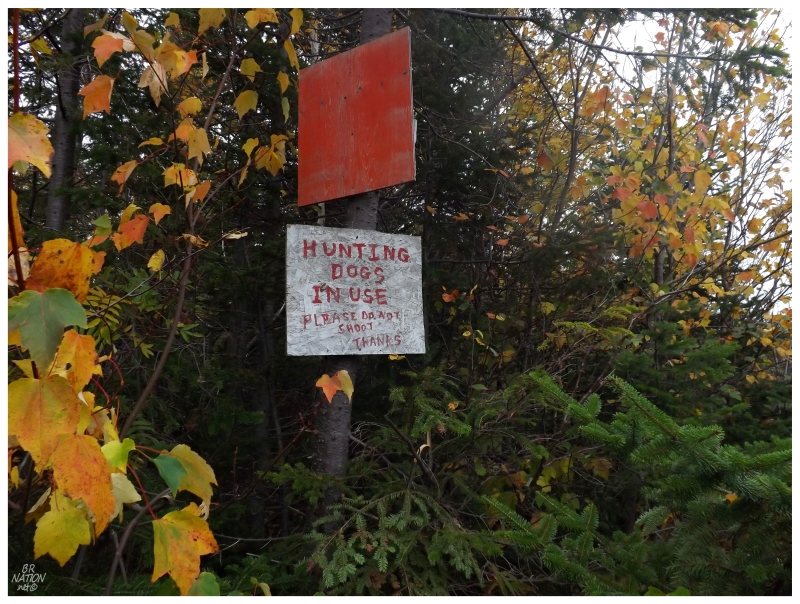
A sign along the way.
Goose Arm had been on my radar for years now, but I always have trouble getting things done when they are close to home. I tend to wait for that perfect evening of soft light, or that bright, full moon night, but never prioritize it enough to go when those times actually come.
On the eve of my 5-year anniversary of being in Newfoundland, I decided to finally get to Goose Arm. It was time to get out after a Friday night of drinking with friends, instead of wallowing in dehydrated headaches and longing for Chinese food. It was time to put the mountain bike in the car and get going.
For those of us who don't own boats, access to Goose Arm involves driving or cycling on forest access roads, from either Cox's Cove or Hughes Brook (map).
During my first winter here and while still very wet behind the ears, I foolishly set out to snowshoe from Cox's Cove, but this is where I discovered that you can't simply wander into fresh pow and stroll for kilometers. I have since wandered onto the Hughes Brook Resource Access Road in my car, realizing that this is a much easier way to dive into this mysterious swath of land to my north.
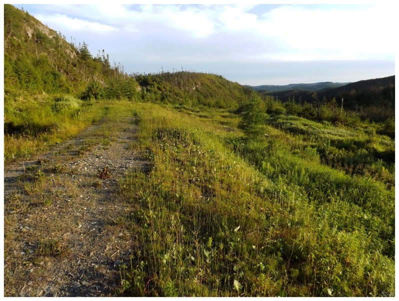
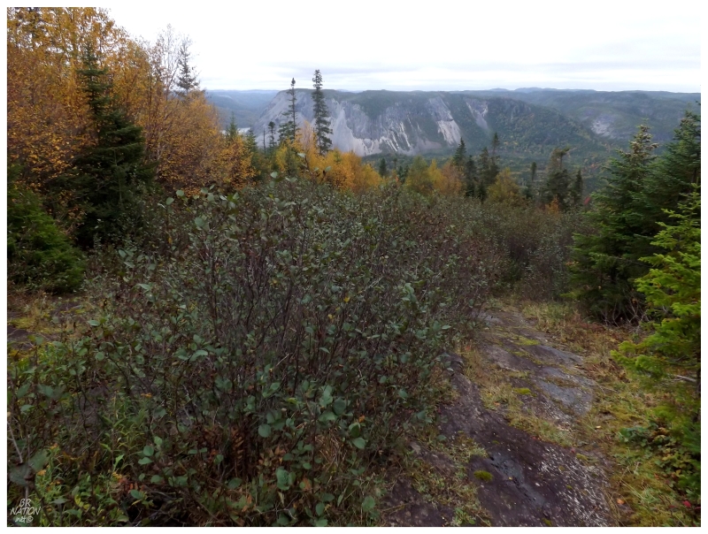
Previously driving along and looking for signs of Goose Arm - even going as far as to take out my bike and explore quad trails leading west - I never truly came anywhere close to the resettled community. The above picture comes from 2012, taken along one of those quad trails to the north of Goose Arm, leading to a cleared area here.
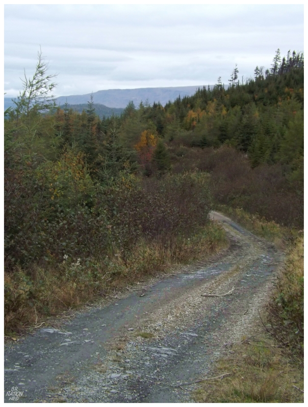
From still within the Corner Brook city limits, you only have to drive 5km (3mi) on the North Shore Highway before you notice the turnoff for the gravel road. The 15km (9mi) drive up Hughes Brook Road is easy enough as well, but the road gets hairy as you turn left at the sign pointing to Goose Arm, along a different road that eventually leads to Cox's Cove.
I had already been to this crossroad earlier in the year and declared the road to be too rough, but although I don't know if they repaired the road or if I had grown more brazen, I was now fine with driving my car past the first few kilometers.
This road continued for a few minutes, with parts questionably traversable in a sedan, but pushing forward, it delved into the woods far enough to get me within striking range of Goose Arm.
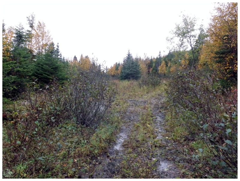
Squeezing my car over into the alders far enough to let other vehicles pass, I pulled my mountain bike out of the backseat and proceeded to ride along the Cox's Cove Road for not even 10 minutes, before noticing a promising trail northward into the woods.
Checking my GPS and seeing that I was directly south of Goose Arm, I explored the vicinity for better options, before turning onto the path and continuing to pedal forward.
The trail turned into a path which was passable for a short while, with wheels dipping into deep puddles and jackets scraping past branches, until a fork presented itself and right was clearly the correct way to go. Right was also a bona fide path instead of a trail, where my bike made it all of 50m (160ft) before I found it useless; as all there was, was wet, sloping rock.
I made ninja moves more than a couple times, since the incredibly smooth rock created very little drag on the sole of my shoes. The angle of descent wasn't doing me any favors either as I dreaded the walk back, although I'd climb that hill when I came to it.
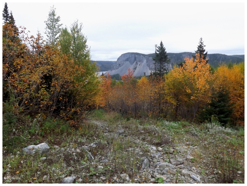
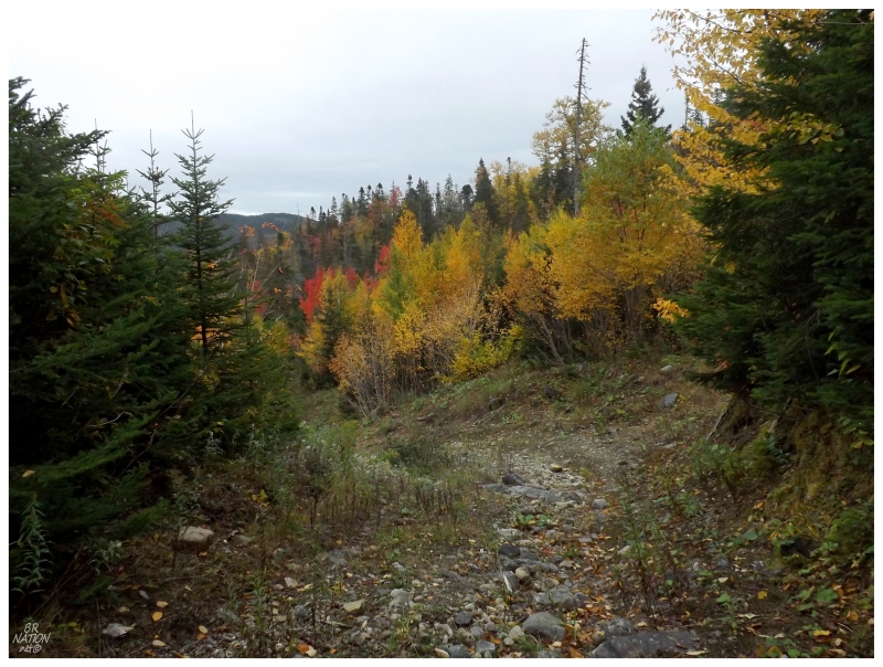
I was now on the trail that leads to Goose Arm according to topographic maps, but as this was a settlement that never grew enough or sustained itself long enough to warrant motor vehicles, there wouldn't be much left of this trail today, even if it was traveled to a greater extent in the past.
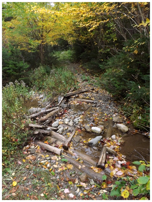
I found small clearings throughout my downhill walk, unsure if they were natural or man-made. The one man-made thing I did find, was the remains of this bridge over a small creek, indicating that this trail must've been used by 4-wheelers at some time in the past.
Of course, nowadays there is a passable road which allows those with giant Ford F-250 Super Duty trucks to reach Goose Arm by vehicle, but I imagine that's mostly on account of how many roads there were already in these woods, and the relatively small effort it would take to clear an extra kilometer or two.
With the installation of that higher quality road, there wouldn't be much reason for anyone to take the trail I was hiking today.
I would have taken said truck road, but after running into a man in Goose Arm who had seen my car parked in the woods, he let me know that if I drove my luxury sedan down the truck road, my luxury sedan would have stayed in Goose Arm.
Anyway, the trail I was on would spill out onto that truck road only a few hundred feet from the collection of cabins you today find at Goose Arm. In addition to that man, there were several other cabins occupied with people, whom I passed by, mumbling to myself about how I hadn't ever managed to come here on a weekday where I could take pictures of the scenic & rustic structures.
This is also where I laughed at those people who I occasionally see post "zomg! Newfoundland has 300 abandoned ghost towns!" - knowing so very little that sure, there's a few places that would fit that bill, but a large chunk of that list of resettled communities are places that have evolved like Goose Arm - a place accessible enough, where people have kept cabins and return on the weekend or on vacation.
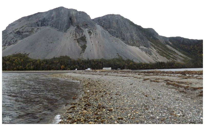
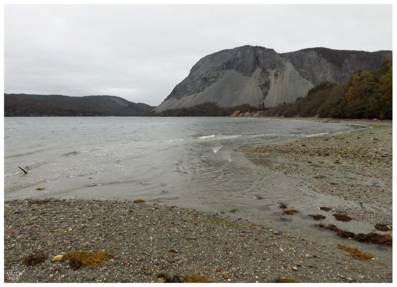
As I walked up the beach, the dramatic landscape and the dominant Raglan Head was an added reward for hiking to Goose Arm.
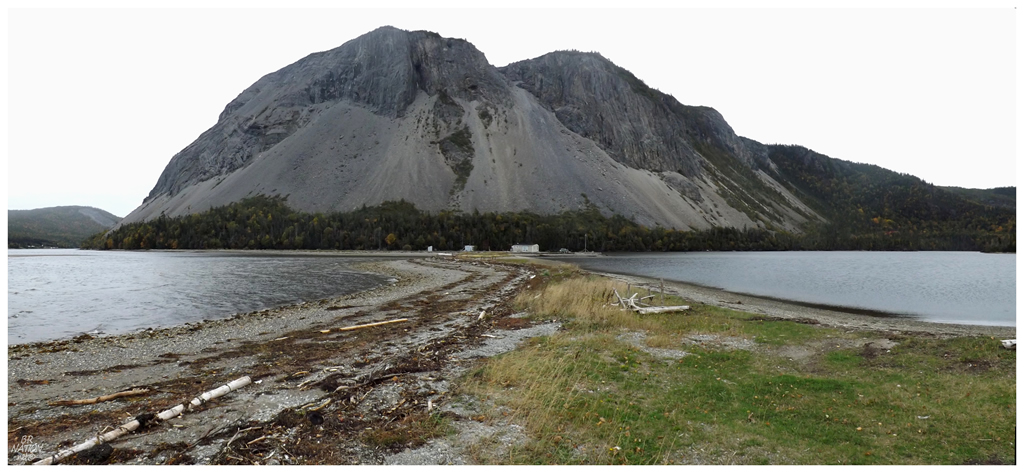
Even through overcast skies, I found myself in a bright meadow after climbing up the beach embankment onto faint pathways. Following the breaks in the golden grasses towards a gravel spit, the meadow stopped at a brackish lake, with its own rocky beach and trio of cabins. There didn't appear to be anyone at these isolated buildings, so taking my time for pictures, it was remarkable to behold the massive Raglan Head and the modest cabins below.
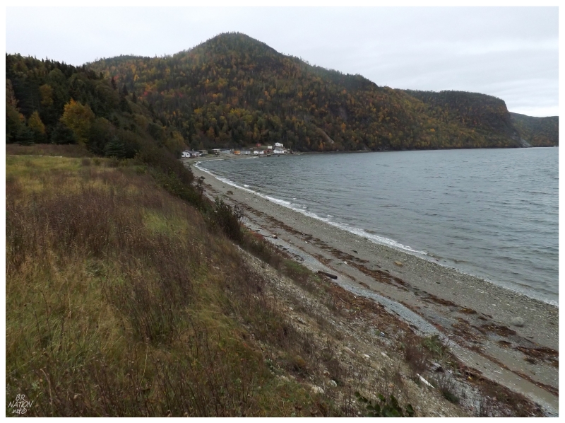
Looking back towards Goose Arm from atop the embankment.
Goose Arm first appears in the census in 1901, with a population of 17. It existed before this time, but was not large enough to warrant its own entry. From there, a steady growth brought the population to 44 in 1911, with a mix of farmers, fisherman and Nova Scotia lumbermen. It would rise even further to 76 by 1921, because by this time Willis Manuel had come from Notre Dame Bay and built a sawmill at Goose Arm, providing work for those already here, as well as enticing lumbermen to move to Goose Arm from Notre Dame Bay.
This sawmill would close by the early 1940s, leaving the population to decline to 33, with these people getting by on the herring & cod fishery. It would decline further over the next two decades, before 26 people were left in 1961 and they would elect to resettle in the next few years; many of them enticed by better schooling and church options in Cox's Cove (Goose Arm was never large enough to warrant its own church).
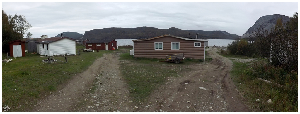
There's a Panoramio picture showing a decaying scene in Goose Arm, which must have been taken some years ago, unless it only shows a unique stage down by the ocean. I only saw maintained cabins during my own walk, although I stayed back since people were using their cabins and kids were playing outside amongst the tightly-spaced structures.
Taking a quick panoramic shot from the entrance to Goose Arm, I'd then go back up the truck road a short distance, before finding where I marked the entrance to my trail, then sweating and labouring up that steep incline back to my mountain bike hidden in the woods.
For the small amount of effort and time it took in the end, I really should go back on an idyllic evening that leads into a full, weekday moon.