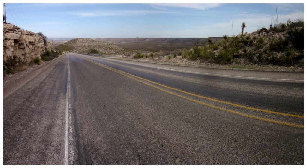
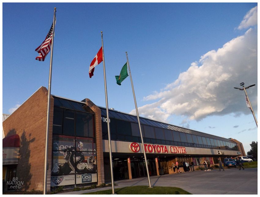
My friends Rosie and Jess were going camping in Central Newfoundland and I asked if I could tag along. Of course I was welcome to! |
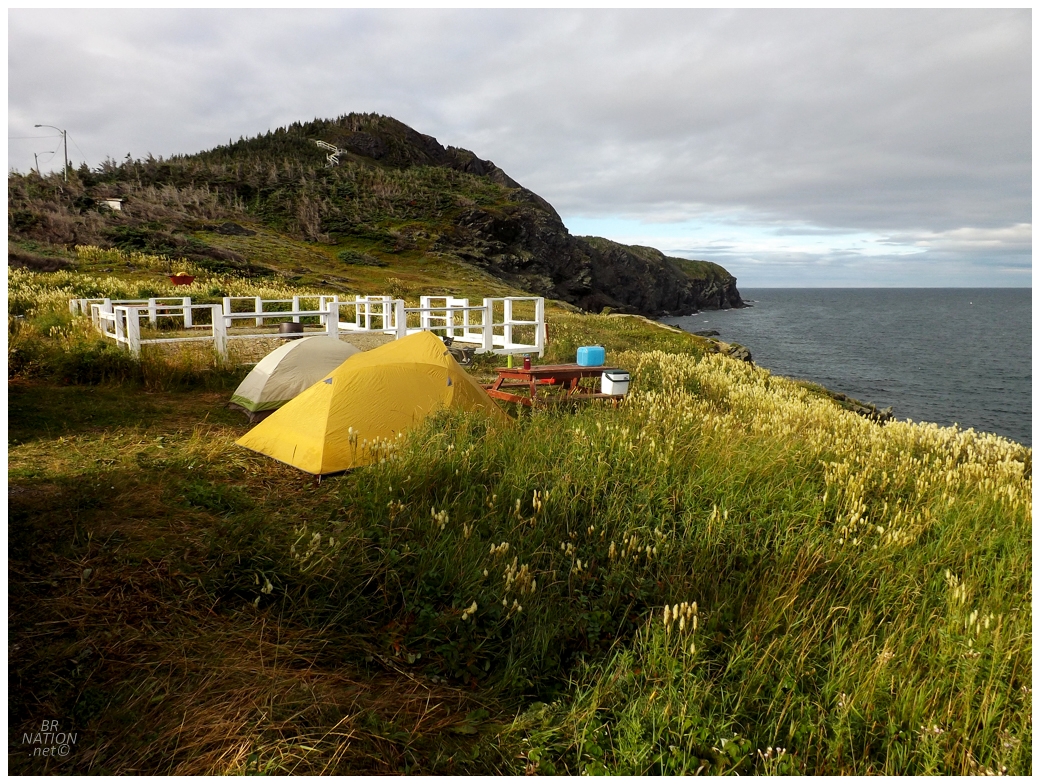
The first night's tent site was at Sleepy Cove, which is hard to beat at its price ($free) and proximity to the destination town of Twillingate. It still took me 4.5 hours to drive here from Corner Brook, so there wasn't that much daylight to run about this first night. Jess called it sort of early, while Rosie and I stayed up bullshitting about Corner Brook until 111am. This was mostly outside, but a little shower coming in off the ocean forced us into the front seats of Jess' car sometime around 1130pm. Speaking of Jess, apparently the only thing she heard once she went to bed was when Rosie was really fired up and went, "(Person's name) b'y, (expletive), (expletive), (name), (name), (NAME), (EXPLETIVE), like (EXPLETIVE) RIGHT OFF (NAME)!" LOL. |
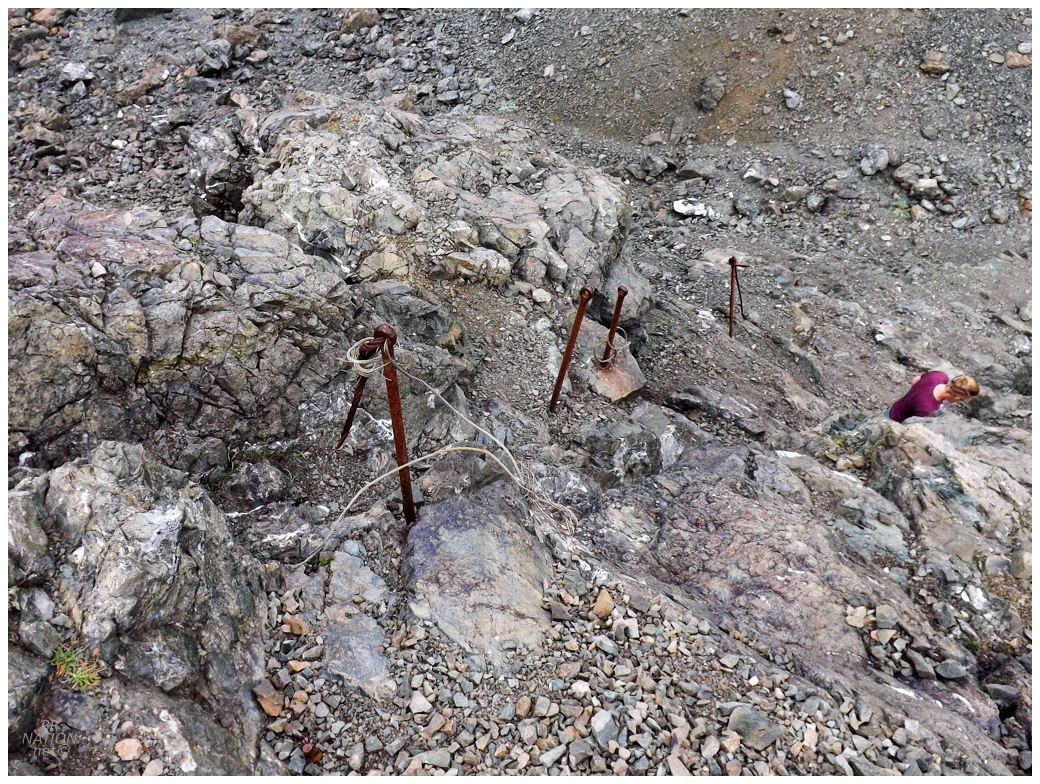
Despite the late night, Rosie still woke up raring to go and we hit the trail north to Nanny's Hole, up by the Long Point Lighthouse. I'd hiked down here a year ago and liked how Rosie also made short work of the handrail remnants that allow you to (sort of) safely get down to the cove. I would have taken more photos but I was running on fumes as I skipped breakfast in order to tag along for this hike. |
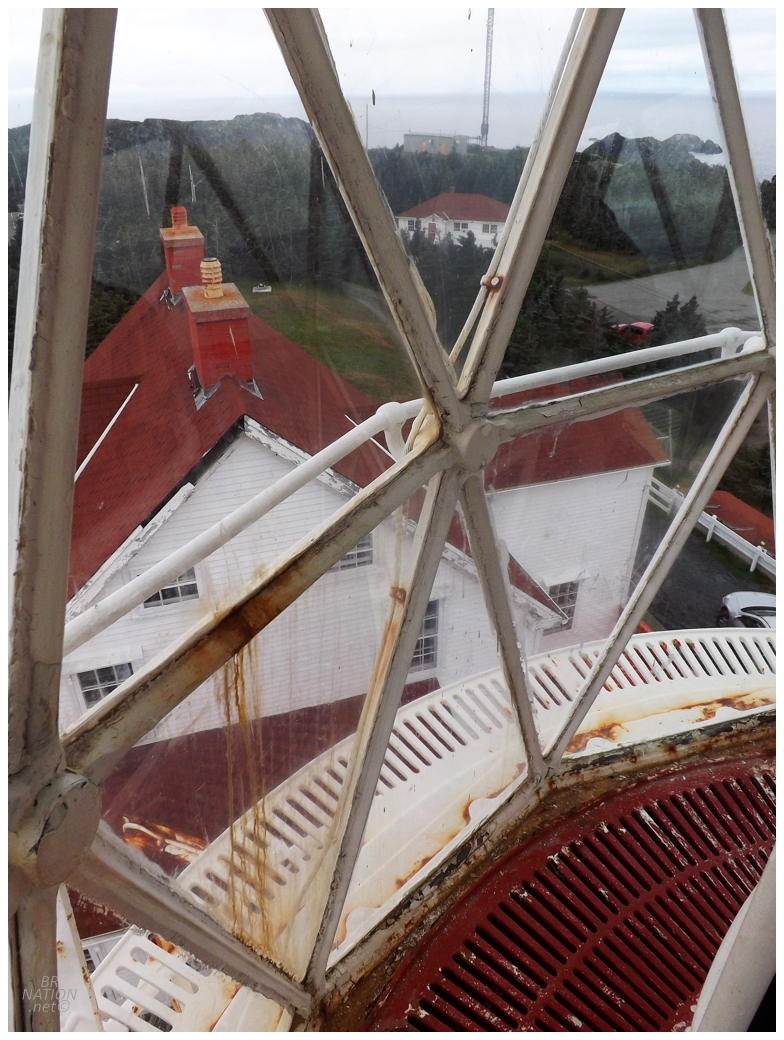
Speaking of the Long Point Lighthouse, I was happy to pop up there afterwards, as this is one of those lighthouses where I know numerous people who have just by chance happened to run into the lightkeeper and got a tour. Meanwhile, I've been here a half-dozen times and only saw a lightkeeper one time as he was leaving for lunch. |
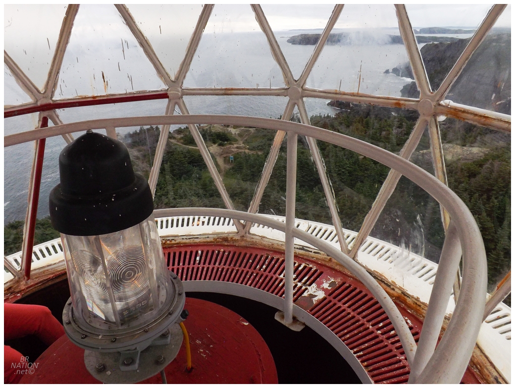
Today though, I learned that they turned the lighthouse and attached structure into a museum! It's still a working lighthouse with a lightkeeper, but there's now museum volunteers that take you up into the lighthouse if you show up during their kept hours. Excellent! |
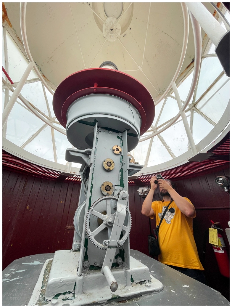
Oh hell yeah. |
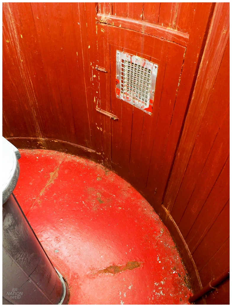
Long Point Lighthouse is almost 50-feet tall and stands 331 feet above the sea below. I figured they don't let anyone out on the exterior gallery and I also sort of didn't want to go out there due to a fear of heights - but obviously they don't let you out there, haha. |
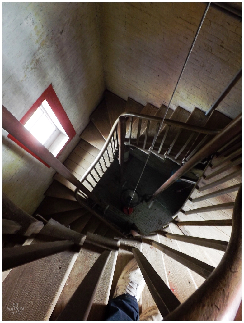
Stairs leading up. Closer to the top, there were some tight squeezes to actually get into the lantern room. |
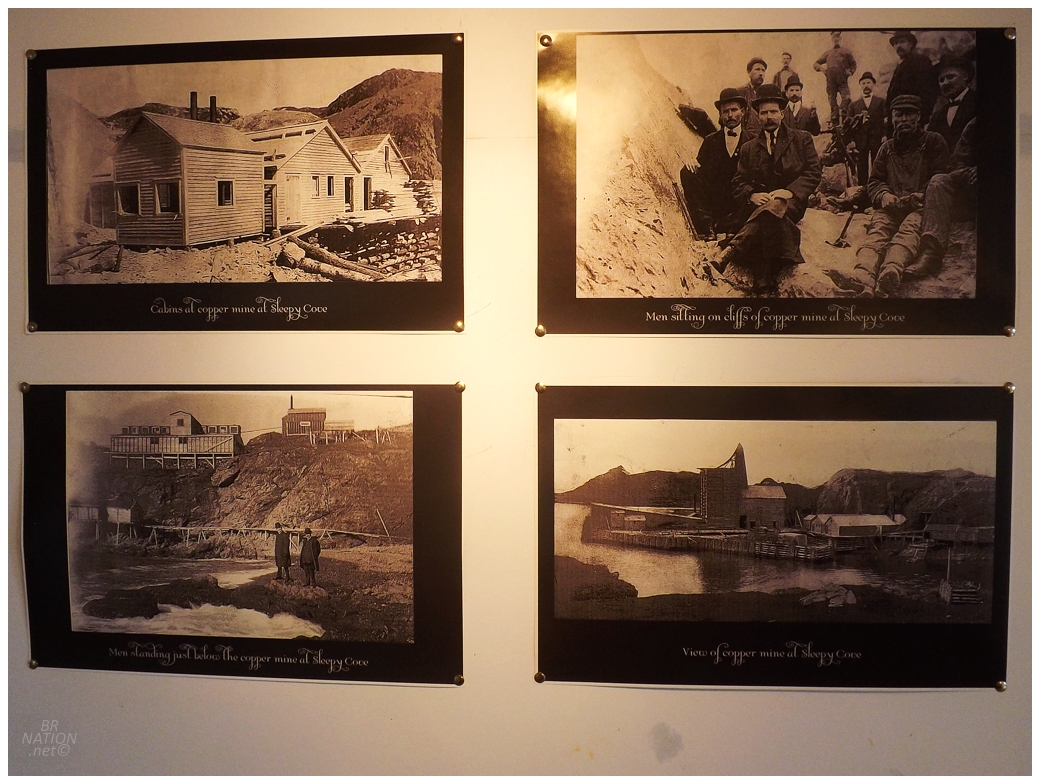
In the attached museum, one section covered the history of the mine that used to stand at Sleepy Cove. This would have been helpful yesterday when I showed up and Rosie told me she read my old update about Sleepy Cove, then started questioning me about the mining operation. I soon realized I should have read my old update myself, lol. Girl, I don't remember what I wrote in 2014! |
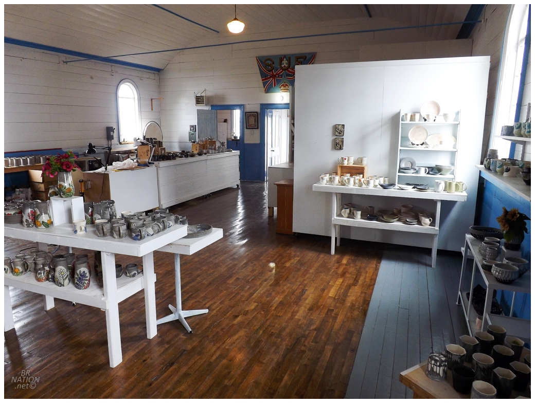
I still hadn't eaten anything at the lighthouse, so I was more than ready for fried bologna and toutons at Annie's. Afterwards, we stopped at a pottery studio right along the main drag. |
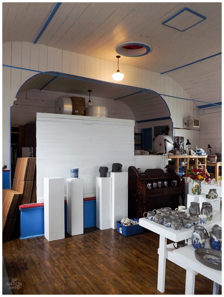
I obviously was slightly more interested in the pottery studio location than the pottery itself (not to say it wasn't great pottery). That's because this was the old Society of Union Fisherman (S.U.F.) Lodge #12 - a provincially registered historic structure. |
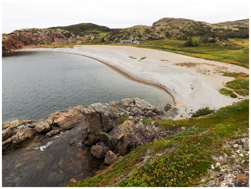
Following the SUF Lodge, we went for a short walk to French Beach over on the northwest end of South Twillingate Island, near Durrell & Jenkins Cove. |
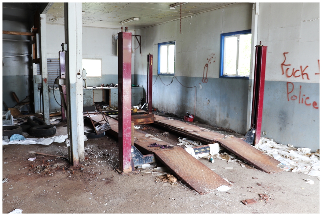
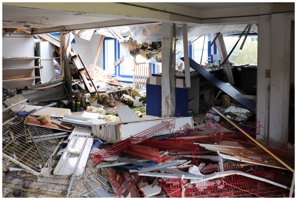
Instead of spending two nights in one place, I wondered if we could mix it up with a night somewhere different. This was agreed upon and we formed a convoy, but not being much of a convoy guy, I pulled over in Little Harbour to check out their abandoned church (it was still sealed up tight). I'd successfully lose Rosie and Jess down the road when I pulled over at the sight of R&T's Service Station. |
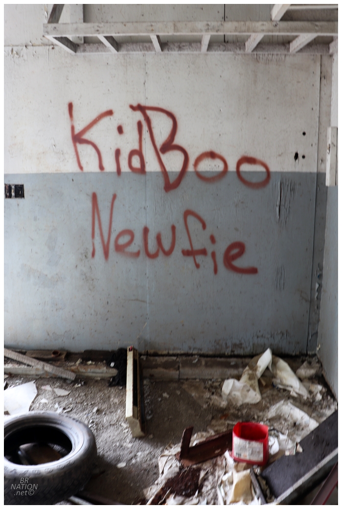
I had to be careful here though, this was Kid Boo Newfie turf. |
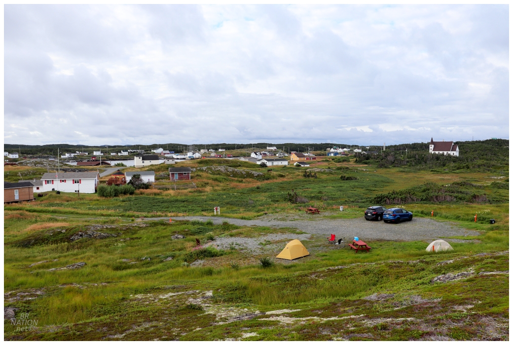
Pulling up to the Change Islands ferry line, Rosie asked what happened and I told her that I stopped for an abandoned gas station. I was met with a laugh and a head shake at such a reason for breaking up the convoy. Over on the Change Islands, I'd briefly scouted out some random coves and fields where we could put up a tent, but the local museum has a small unserviced camping area out back for a really reasonable rate like $10. Especially with how the Change Islands tend to be off the beaten path, we decided to just camp here since it was unlikely anyone else was going to show up tonight. |
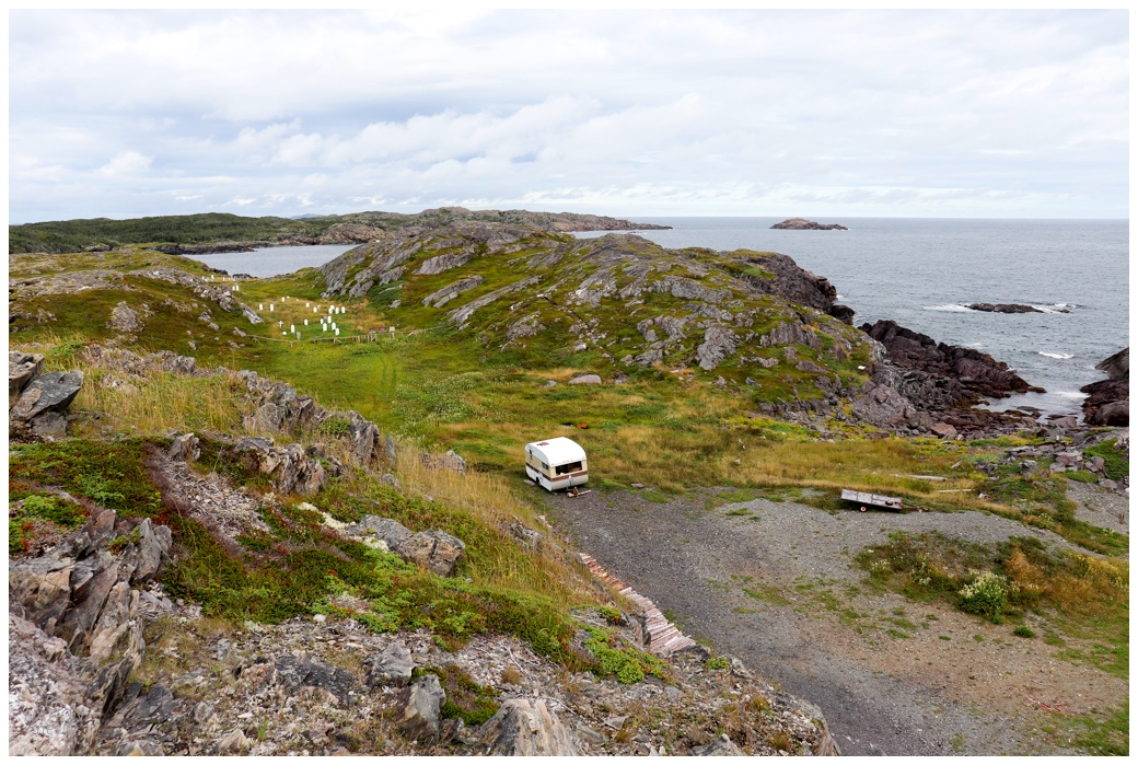
An added bonus was how easy you could clamber up on top of the nearby rocky hills and peer off in every direction. I discovered a cemetery I didn't see on my other visits here. |
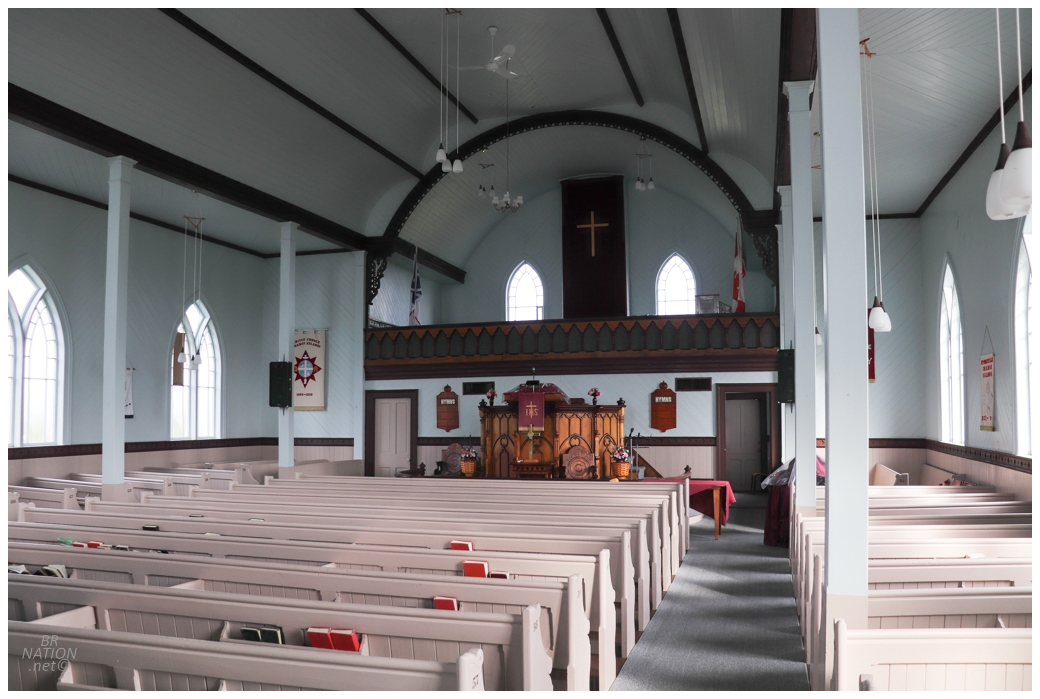
Heading back to Change Island for only the third time, one thing I wanted to check on was their stately Anglican Church. I remembered being blown away at how well kept it was for a place with a low and dwindling population back in 2009 - and away from some peeling paint in the entryway, it was still in great shape. (Unfortunately, the church would finally close just about one year later, on August 20, 2023.) |
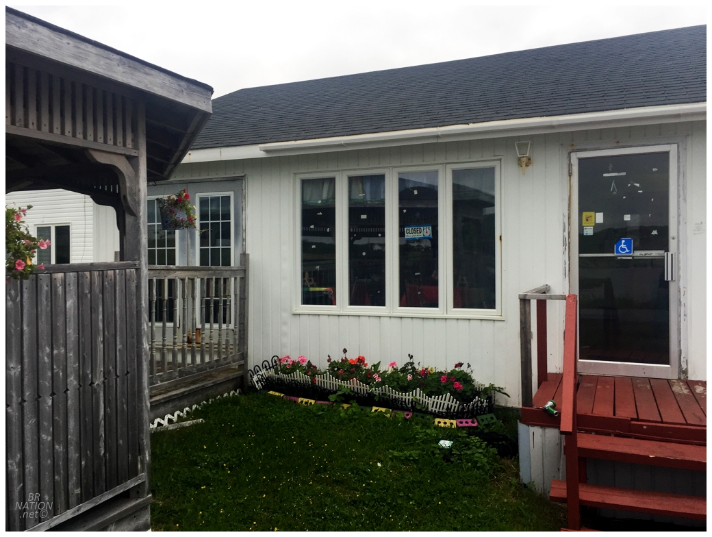
There's only two restaurants in Change Island and only one was open when we were looking for dinner. So off we went to the TLP Restaurant, near Tickle Point, and apparently it's just someone's house? We opened the door to find a couple sitting down for dinner, but they welcomed us in. The interior of the restaurant matched what you'd expect from the exterior, as the seating area was a dining room with five, plastic sheet-covered tables that looked like they came from a bay Chinese spot. Oh this was very much my style. |
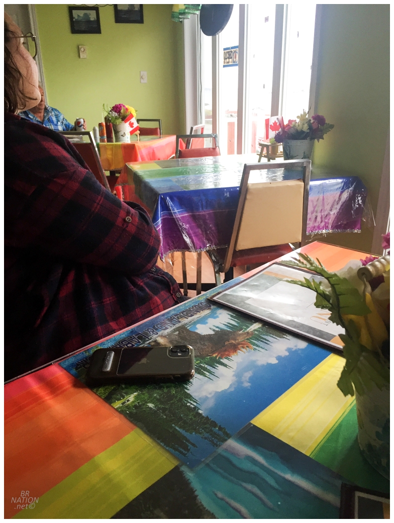
Some fresh cod had come in this morning, so obviously I had that and it was unbelievable. Rosie got really excited upon learning they had boiled pudding, which was new to me and I found okay, but Rosie loved. I was fully expecting this place to have old food in a freezer and one deep fryer, so I was pleasantly surprised. With the hosts having dinner with us, we got to chatting. I learned that the woman was from "south of 'ere" - which meant she was from the main Change Island 275 feet to the south of Diamond Island, where we were currently sitting. This used to mean a lot more before they built the causeway connecting the two islands, as there were greater divisions back then when people could see you rowing across to the other island. |
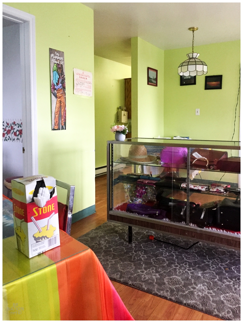
Jeannie also mentioned living near Sarnia when she was 18 or 19 and she clarified it was actually Courtright upon discovering that I knew the towns and villages of Lambton County. I liked her description of her life at this time, "we were just young, out and about, being savages you know, riding the streetcar". I then asked what TLP stood for at the TLP Restaurant. Dave joked that it was "Tender Loving People", but Jeannie interjected that it was their kids' initials. Lastly, we obviously talked about the weather and Jeannie said that the ocean and wind made it so that the snow is rarely very deep in the Change Islands - apparently you can walk in your shoes through most of the winter! I pondered relocating my job from Corner Brook. |
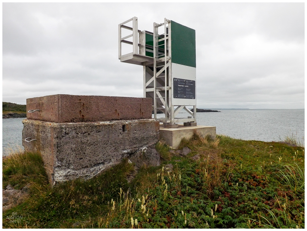
The TLP restaurant was located on a small finger of land extending out to Tickle Point. Seeing the Tickle Point skeleton tower at the end of the road, I knew we had to walk out there after dinner. It's here that I felt this year's first cold winds of the coming autumn/winter. |
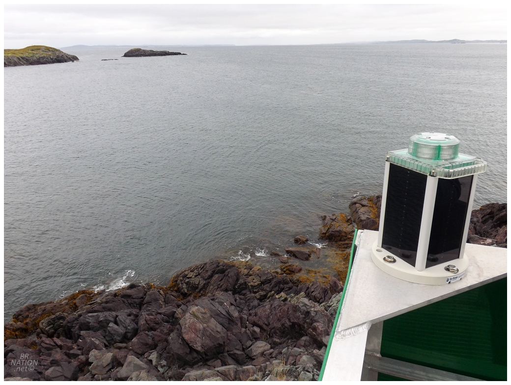
I don't count this as a lighthouse, but sitting as I do with Newfoundland & Labrador and only having medium to extremely-difficult lighthouses left, sometimes I wonder about visiting these skeleton towers and minor lights for some fun in the meantime. Tickle Point skeleton tower did have some of the things I enjoy about lighthouses. It was desolate, obscure, and there was a random cement foundation. The view was also fantastic. Truthfully, I enjoyed being here more than the time I visited Peggy's Cove Lighthouse with a thousand other tourists, lol. |
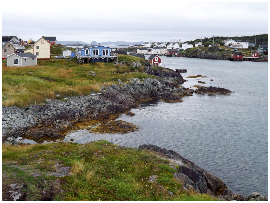
Looking back at the Change Islands from Tickle Point. |
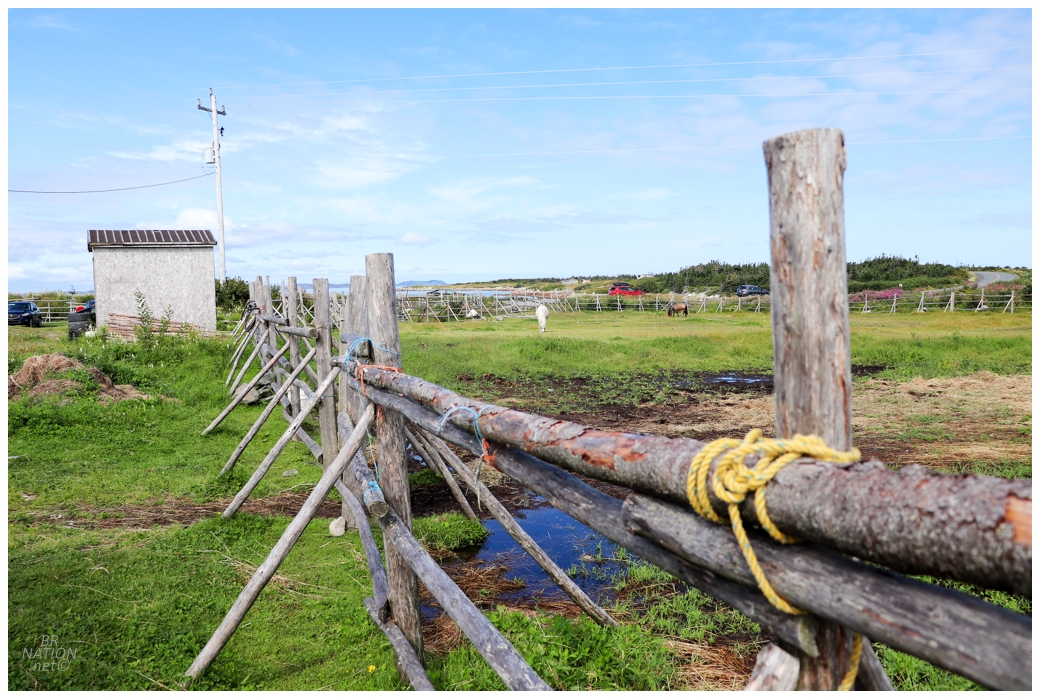
The next morning we packed up and headed towards the ferry on the south end of the 6km (3.7mi) long island. Along the way, Rosie & Jess wanted to stop at the Newfoundland Pony Sanctuary and while I never made a point of stopping here during my other times on the Change Islands, why not? |
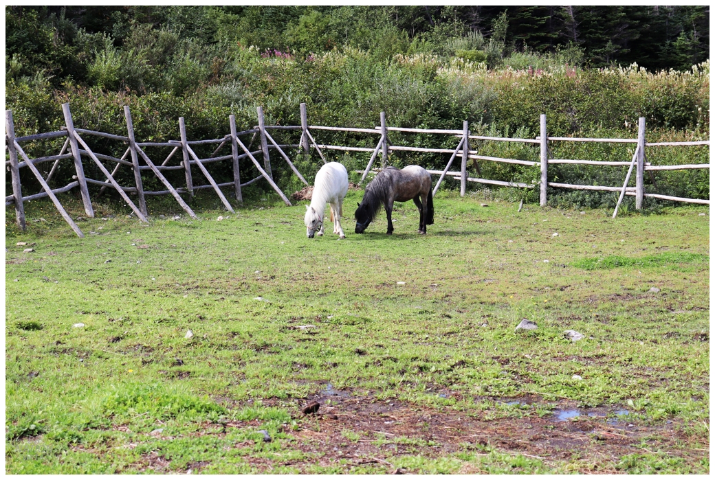
The Newfoundland Pony Society breaks down the history and importance of the Newfoundland Pony: "The ancestors of the Newfoundland Pony arrived with the Island’s early settlers from the British Isles. They were primarily, Exmoor, Dartmoor and New Forest ponies and to a lesser extent, Welsh Mountain, Galloway (now extinct), Highland and Connemara ponies. They were hardy creatures who were already well adapted to the harsh climate of the islands of the North Atlantic. Isolated from the rest of the world, the ponies intermingled for hundreds of years, breeding in the seclusion of Newfoundland’s coves to produce a sturdy pony uniquely our own. In the past, the Newfoundland Pony ploughed gardens; hauled fishing nets, kelp and wood; gathered hay; and provided their families with transportation around the Island. The centre piece of many weddings in fact, was often a pony and a carriage that proudly carried the bride to the church on her wedding day. In the 1970s and ‘80s, the ponies were replaced by tractor power, cars and ATVs." |
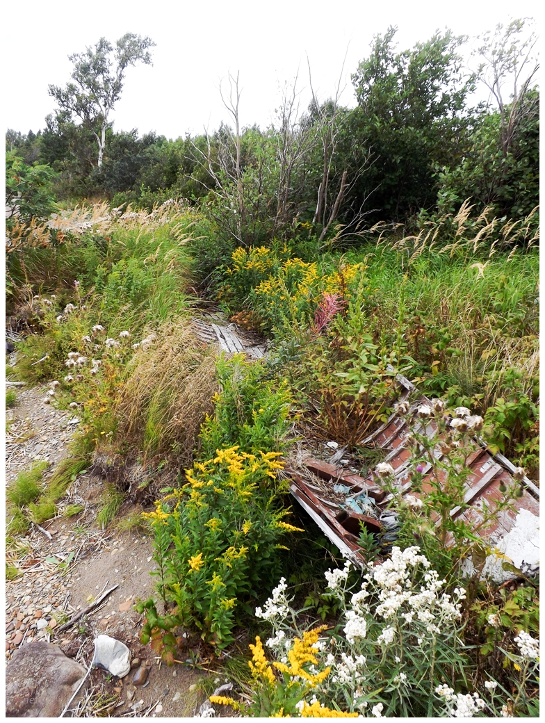
An old boat sits amongst wildflowers.
Catching the ferry back to Farewell, the three of us said our goodbyes and reiterated that this was a great camping trip. I had one last stop at the base of the short NL-335 highway that stretches out to Farewell, as here was the location of yet another of the provincial parks that the province closed in 1995. This used to be Dog Bay Pond Provincial Park. The 1989 Newfoundland Auto Guide says, "At this small picnic park you may have a relaxing swim before continuing along Route 331 along the shores of Gander Bay." |
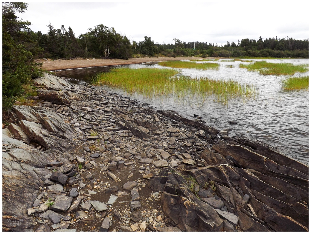
I was scouting out if this would make a good camping spot and while it's close to the road, I think the road would be quiet enough at night for it not to matter. I've kept Dog Bay Pond in mind while spending time in this area, but have yet to need a camping spot anywhere near here from 2023 to 2026. Anyway, a great camping trip with two great friends. I'm happy they let me tag along. |