During the winter, I discovered & started voraciously consuming cycle touring blogs where people had rode from Japan to England, from England to Mozambique, and around the Balkans.
While I had no plans for anything of that scale, I was aware from previous treks to Kingsville, that I was capable of riding a bike ~100km in a day. What I was thinking was that I could drive my bike down to the ferry terminal & go for weekend trips in Nova Scotia. These trips would be cheaper because I wouldn't be paying the $160 to bring my car across, and they would be enjoyable because they would satisfy my desire for mainland time0.
I started looking at Sydney, Nova Scotia climate trends & figured that I might be able to go in April - which excited me in relation to the still-shit weather of April in Corner Brook. Also, if I took 4 vacation days in accordance with St. George's Day, that would mean I would have 9 days to make some actual distance into Nova Scotia (not just into the area I see as Newfoundland Lite (i.e. Cape Breton Island)).
And so it was, the Nova Scotia weather thankfully looked passable, so I packed up the bike with tools, various clothing items, foodstuffs, a tarp, a tent, a sleeping bag & a thermarest.
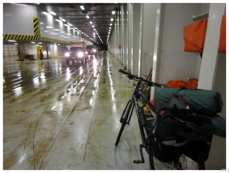
After work one night, I hurriedly grabbed my bike to meet the bus in Corner Brook, so I could head down to where the ferry leaves the island (Port Aux Basques). It was $40 for a bus seat & $25 to take my bike. The in-bus movie was Harry Potter & I wanted to kill myself. I spent the majority of the trip stubbornly looking out at the very familiar Newfoundland land cover, instead of at that damn wizard.
Once we started to near Port Aux Basques, we encountered a good amount of snow & I was happy to be riding a bus through the junk. As I entered the ferry terminal, one of the workers looked at me with shock & told me I mustn't have had a good bike ride down to Port Aux Basques - "nope it was fine, I took the bus!" I happily replied.
I've taken this boat back to the mainland about 10 times by now. What I did know was that you can drive your own car onto the ferry, or you take the pedestrian bus - meaning that I had no idea what happens when you have a bicycle. Amusingly, neither did a lot of the ferry agents, as I was apparently, and not surprisingly, the first cyclist of the year.
Whereas I thought it was going to be a boring case of riding the pedestrian bus while a Marine Atlantic truck brought my bike onto the boat; I was actually going to be walking out there & pushing my bike up the ferry ramp myself!
So while hundreds of cars were parked waiting to load onto the boat, I pushed past them all & was the first person aboard. As I reached the end of the vehicle deck, the guy who came to help me didn't have much idea what to do either, "uh, hmmm, uh, let's put that thing over here. Can you fasten it to the side of the boat? Here, I have a 2x4 to stop the wheels from moving."
As I was the first one on the boat, I was one of the first ones off as well. One of the ferry workers asked if I was going to Hope, British Columbia, but I had to let him down & say that I was only going to Halifax.
As I knew North Sydney would be the last town I went through for a while, I took the time to meander through the streets as I moved southwest. There was a lot more town than I had ever seen before, and this trip was already paying dividends in allowing me to see more than I would by Intrepid.
As I had dreamed & fantasized about this trip for a long while, obviously I had studied the Google Earth elevation profile & knew where the challenges would be. (obviously)
It's one thing to ride 100km in Canada's flattest county1, but I knew the hills of Cape Breton would present more of a challenge.
The one major hill would come as I moved from the North Sydney area into the hills of Boisdale. I know others will laugh at this hill, but for a person who only rode 60km in preparation for this trip, it was an early & significant challenge. Add in the fact that I already stopped in Leitches Creek to access what the hell I was thinking, then you can realize that I was proud of keeping the heavy bike in low gear & exhaustedly pushing up the 200m (650ft).
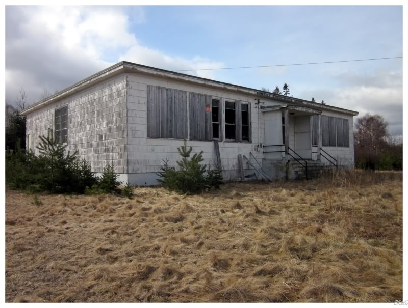
Although I was making good progress this morning, I never have a problem stopping for an abandoned school along the way. C'mon now!
Looking at the picture, you'd think I'd be able to climb right into that front window. It really doesn't look that hard, but it was actually challenging in real life (and those boards were flimsy pieces of shit; they were of no use).
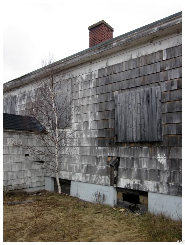
Around back I noticed a tiny hole into the basement...but a-ha! I've learned this lesson before. Climbing into basements in Atlantic Canada never pays, as they always lead to foundation areas and never to the actual building.
Although...
I peered into this one and found desks & various pieces of maintenance equipment.
Alright, fine.
So I squeezed my body through that tiny slot & awkwardly onto a desk below. Maneuvering between pipes and accessing a new hole in my clothes, I moved forward to find...
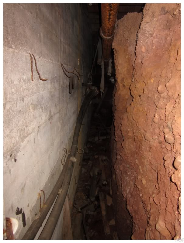
...the basement foundation chamber!
Bah!
Climbing through that damn hole was entirely pointless. That was enough of this place.
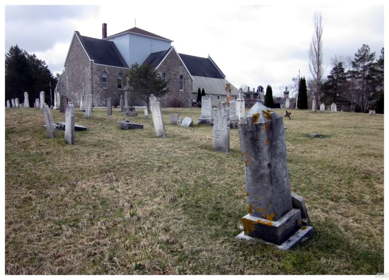
Instead of going back to the road, I decided to walk a worn path towards the church next door, simply because the graveyard looked interesting.
Which in turn, paid unbelievable dividends!
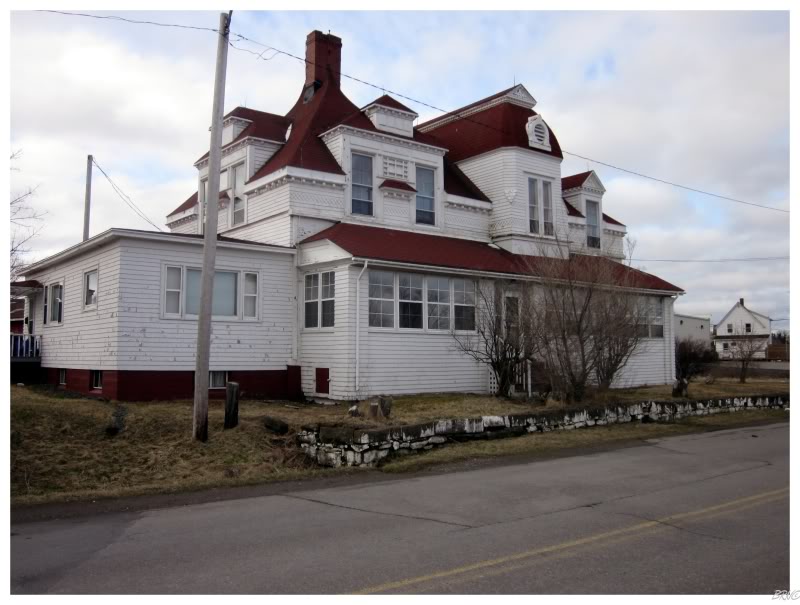
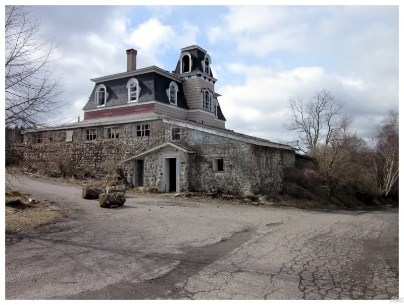
What in Sam Hell was this place? Thank goodness I decided to walk through that graveyard instead of taking the road!
I gazed away at the road & realized I surely would have missed this...er...um...abandoned mansion? abandoned rectory?
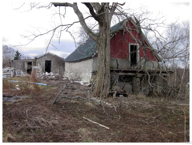
I walked the perimeter & found that the grounds had all of the makings of a reclusive man. Strewn vehicles, hundreds of tools & weird miscellany like clawfoot tubs & wheelchairs.
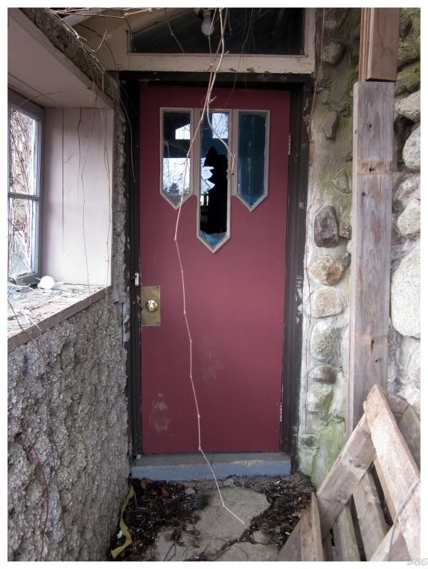
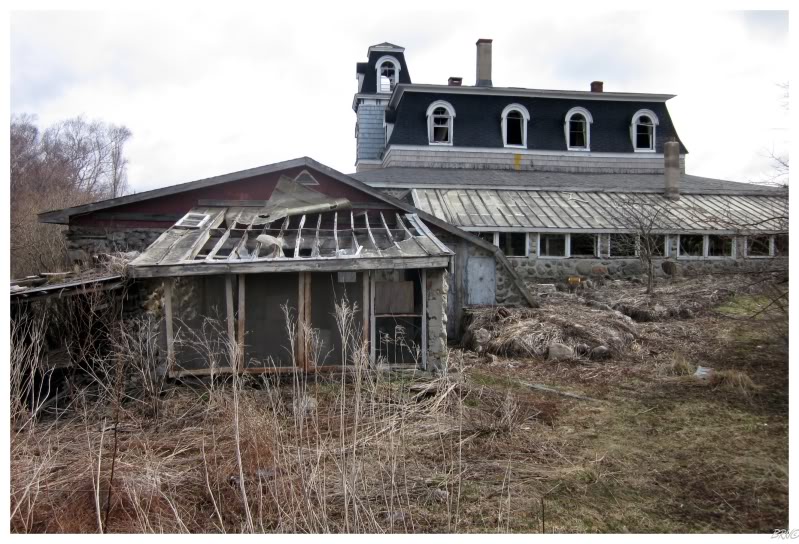
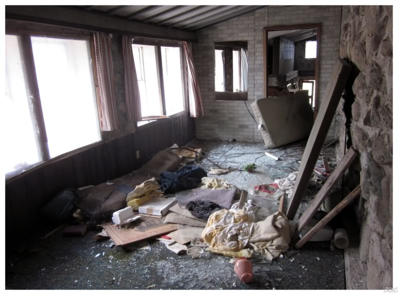
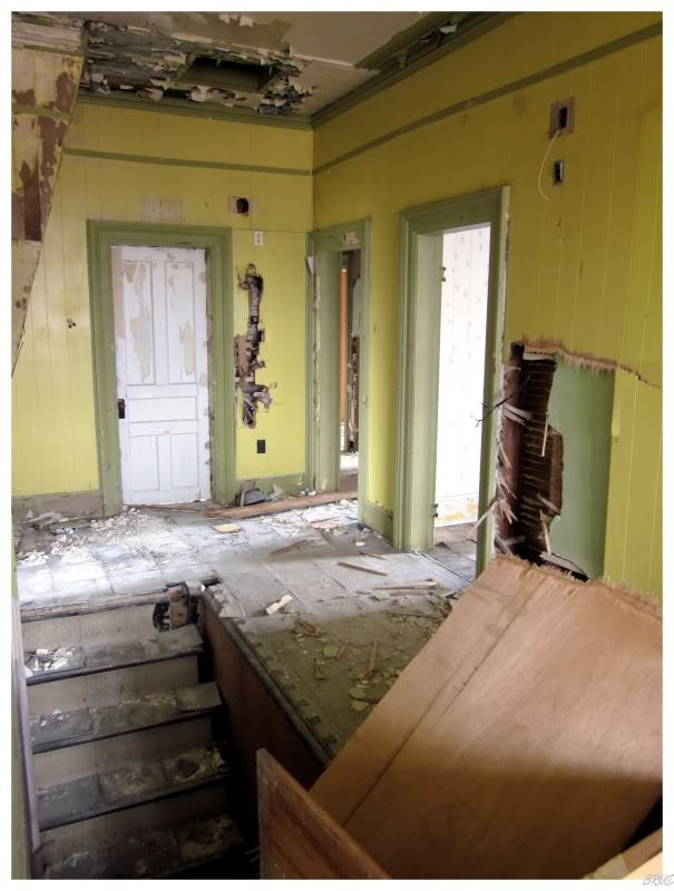
The mansion was swiss cheesy in terms of having entrance holes, so soon enough I was into the sun corridor, which was built onto the south side of the house.
I figured these additions like the sunroom had to have come later, as they had a lower-grade, homemade feel to them.
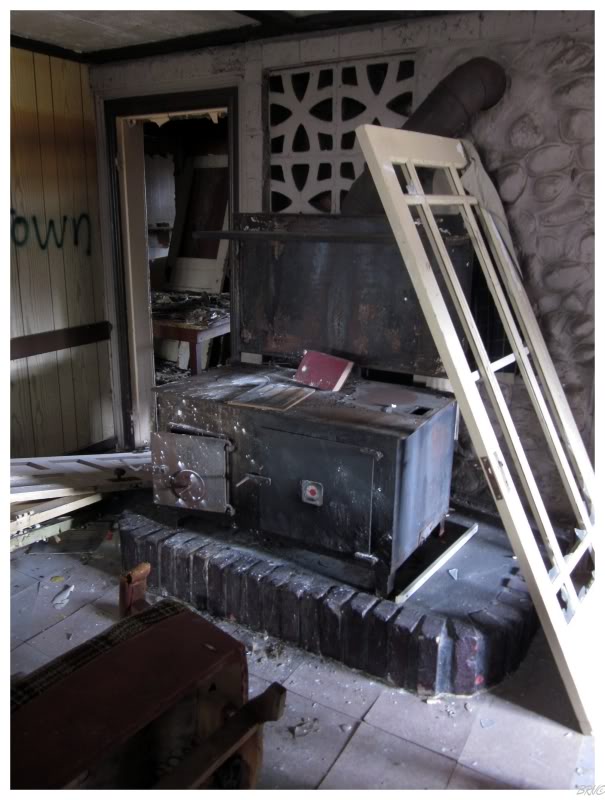
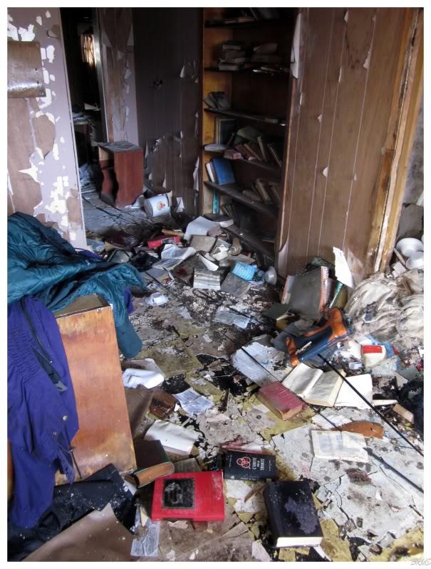
As I moved inside, the amount of stuff left behind made it hard to walk.
Mansions are interesting enough in their layout & uniqueness, but also with all of this stuff left behind, it would take someone days to scour the entire house with a fine-tooth comb.
I didn't have days though, as I knew I had to cover 120km per day to make it to Halifax in 4 days.
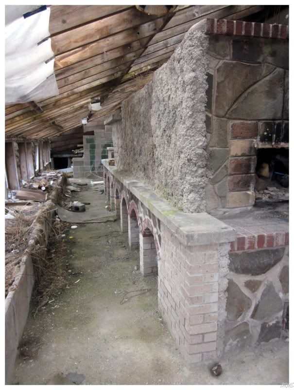
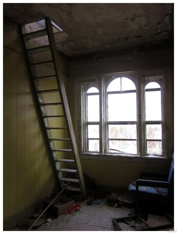
Therefore, I moved towards the item which interested me the most: the mansion's cupola. A steep ladder of 15 steps led to the innards of the mansion's highest point.
(^You can see my bike leaning against the hydro pole if you look closely)
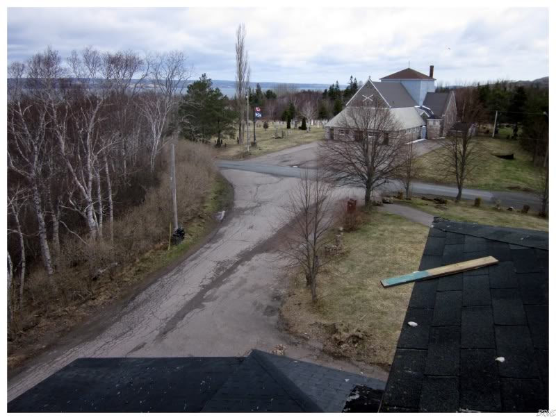
The interior of the dome would fit about 6 people intimately, so conveying the small space was outside of my photographic ability. I snapped a few pictures of the surrounding landscape & admired the names scrapped into the cupola's walls - it had that same mustard yellow paint as the floor below, with many names engraved down to the next layer of black paint. The majority of them were from the last 2 or 3 years & the number of names surprised me, as I wondered how I hadn't heard of this place if it was so popular.
I also grew a bit sour, as I thought about how awesome it would be to sleep up here for the night. To pull the bike up the stairs & unravel the sleeping bag into this fantastic space.
Unfortunately, I had to cover more than 33km today.
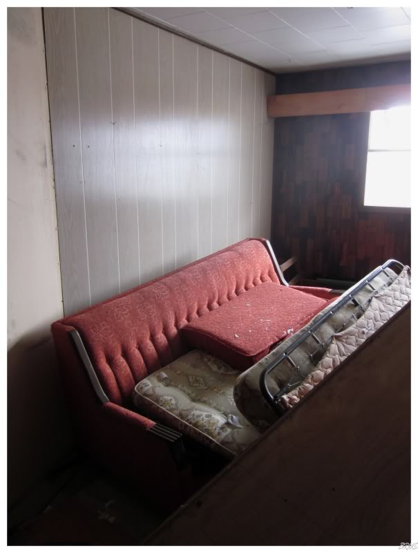
The luxurious, 1960s couch downstairs also caused me to despise the fact that I needed to cover more ground today.
I made it all of 300 meters before finding another abandoned building.
What the heck is with this place? A town that looks like it has less than 1000 people, has 3 abandoned buildings? Two of which are pretty damn big/unique/good?
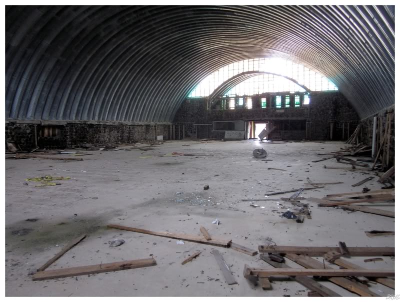
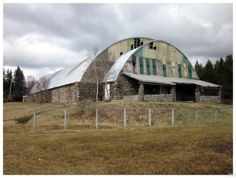
I actually knew what this building was from seeing it on the internet before - it was an ice hockey arena.
I always thought the story was that this was an arena built by a local eccentric man, but the internet tells me that it was a Katimivik project where they built a cost-conscious arena for the community. You see, they kept the cost down with walls that are wooden logs cemented together & the roof is clearly that cheap tubular sheet metal.
I've known about this arena for a long time but never thought it was worth the drive from Corner Brook (or from the Annapolis Valley). I was also always a bit confused as to how I had driven all over Cape Breton Island and never found it...while other people always seemed to randomly stumble upon it. Therefore, I had a bit of a "a-ha!" moment when I finally rolled down the hill & discovered the rink this day.
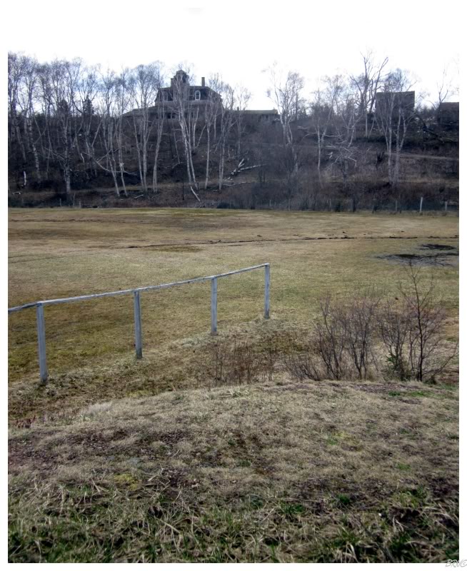
The ice arena used to be on a certain website which guides people to abandoned buildings. As I stood outside, I wondered how many people blindly followed their GPS to the arena...and completely missed the awesome mansion up on the hill.
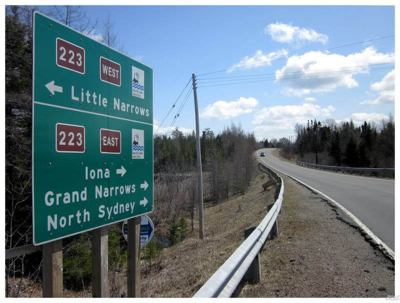
The next goal for the day was to reach the town of Iona.
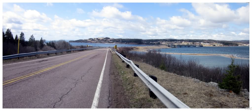
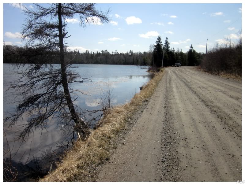
Ever since I conquered that earlier hill, I had been cycling with Bras d'Or Lake to my right. After 50km, I finally came to the Barra Strait and would now put Bras d'Or Lake on my right.
The Barra Strait marks a narrow channel between the north & south basins of Bras d'Or Lake. A railway bridge, the longest in Nova Scotia, was built across the Barra Strait in the late 1880s. It wasn't until 1993 that cars could cross this strait, as they finally replaced the car ferry with a road.
You can see the Barra Strait and its bridge in the above picture.
(I don't mean to bore you if you've never heard of Bras d'Or Lake, but it dominates Cape Breton Island and it is one of Nova Scotia's better known geographic features.)
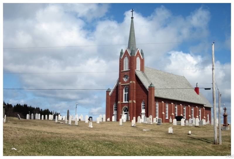
I planned my break in Iona because I knew they had a scenic redbrick church which I wanted to check out.
Since I started cycling at 7 a.m., it was still only 11 or 12 at this point. I used the church to block the wind while I enjoyed my lunch of peanut butter cookies, water & pistachios.
I honestly could have napped in Iona, if not for it being chilly once I cooled down a bit.
As I had to go down to lake-level elevation at Iona, I had a hill to climb back up once I got going. I couldn't complain though, as this would later result in a convenient downhill, just as a 3-legged dog caught sight of me & decided to chase after.
Thankfully he didn't get too far away from his owner. I was truly surprised at how fast he could move on 3 legs, but it was no comparison for my downhill pace.
I didn't foresee that one in my dreams of this trip.
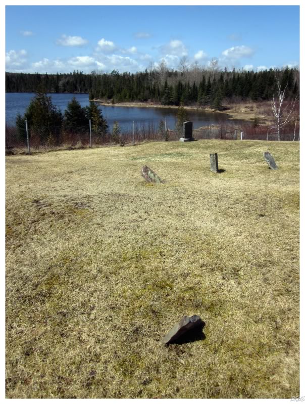
The 3-legged dog was pretty much all of the excitement that Route 223 would provide after Iona. As I continued along, it was pretty empty & I grew tired of the wind blowing in my ears - so I took a break as I happened upon Estmere Cemetery.
It was interesting enough, although small. It provided a peaceful break.
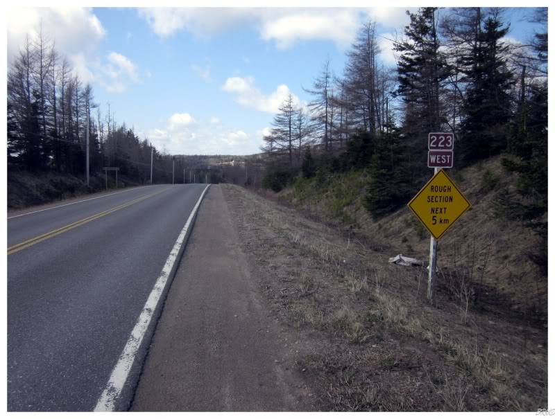
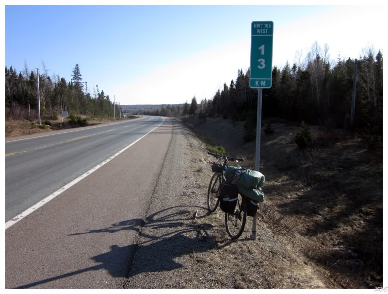
I had been cycling on Nova Scotia Route 223 for the majority of the day, to the point where I came within 6.5 km of cycling its entire 72.9 km length.
Although the geography nerd/completionist in me would have been excited by finishing Route 223, it was also motivational to reach another goal of the day, by turning off Route 223 towards the next leg of my journey.
No longer on a collector road (i.e. Route 223), I was only on a paved road for a few seconds before finding gravel.
After a Sunfire rubbernecked at the sight of a cyclist touring their rural Orangedale-Iona Road, it was quiet & smooth sailing for the remainder. It's not as if Route 223 was I-75 with vehicular volume, but as I neared 80km for the day, the quiet gravel road was still appreciated.
I also appreciated the extra motivation, as I was now on a road which I wouldn't figure to see in my car. This was the appeal in cycle touring to me, to travel down more obscure roads & inspect less traveled country.
I was actually on such an obscure road, that I was concerned this gravel road wouldn't lead me where I wanted to go.
Thankfully I crossed some railroad tracks and found pavement in Gillis Cove. I was also thankful as I noticed an outhouse at the local cemetery, but after pushing my bike up the cemetery hill, I found that the small white building was a maintenance shed, not an outhouse.
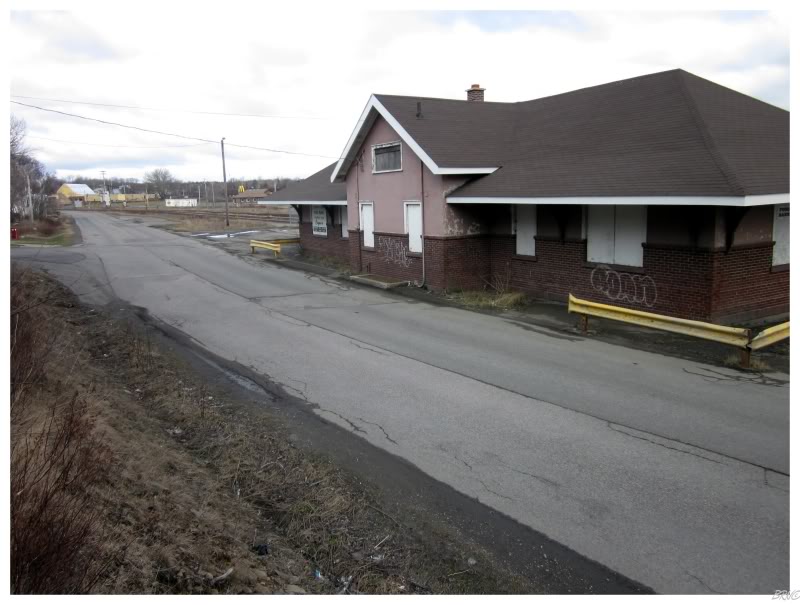
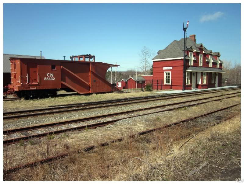
Continuing along, I looked across a bay and discovered a small red store in the town of Orangedale. I needed some water by now as I hadn't seen a store in about 70km, so this was an opportune find.
That was until I found out that the red store was actually the town train station!
It's a nice Victorian train station & all...but boy could I have used some water.
(I later learned that Orangedale actually does have a store, in a similar red building, further down from the train station).
After Orangedale I started to get on some truly rural roads where there weren't any towns: only cabins, rural homes, rural children with BB guns & unleashed dogs who liked chasing Upper Canadians. In fact, I crossed a bridge which I can't even find a picture of on the internet - so I think I was off the beaten path.
As I continued along, my GPS didn't show roads for this area & my road map only showed the major roads (which weren't located where I was). I knew the general direction I needed to go, but soon found myself on roads which weren't much more than farmer's driveways.
After pushing through one such road, I came to a fork in the road with arrow signs to a couple of communities. This gave me an idea of where I was, but a town I thought I bypassed was apparently upcoming - which didn't seem right.
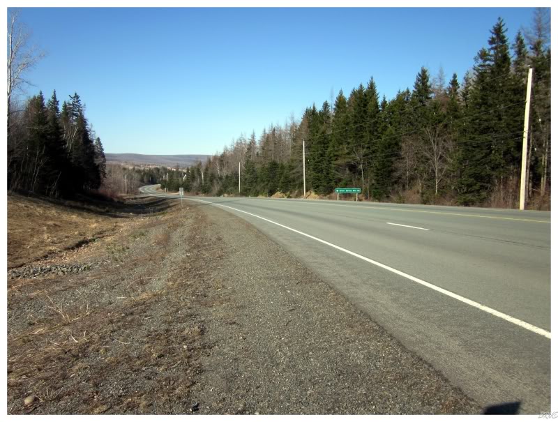
It would have been fantastic to camp out in the sparsely populated land along the farmer's lanes, but without water I decided to follow the arrow sign to the Trans-Canada Highway. From here, I had driven this road before & knew it would lead to the next town of Port Hastings.
I was quite tired & thirsty at this point, so I concluded that the Trans-Can was a better option than continuing to randomly jaunt down whichever happenstance farming lane I found. I wasn't very impressed with my road map or my GPS at this point, as I didn't want to take the TCH, I wanted to explore random backcountry. Lesson learned.
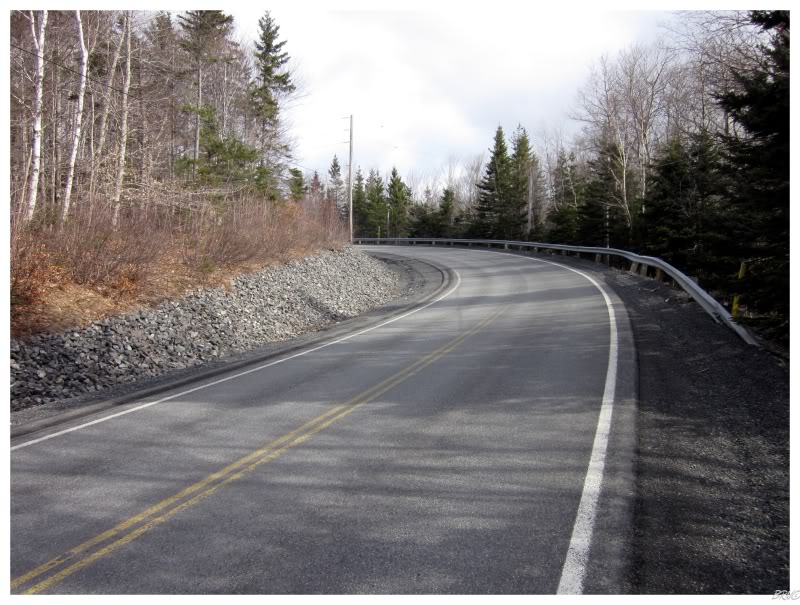
(I also now realize that pictures of the farming lanes would have been better than the standard Trans-Canada pictures that everyone has seen before (above).)
The final accomplishment of the day, after reaching Port Hastings, was crossing the Canso Causeway to leave behind Cape Breton Island, by reaching the Nova Scotia Peninsula.
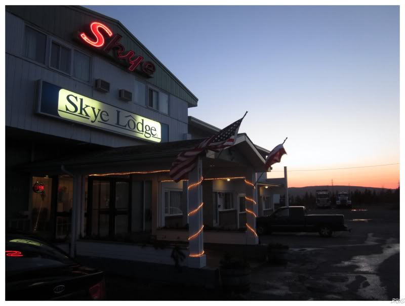
This was short-lived though, as the motel I was targeting was closed for the season. Begrudgingly, after 150km of cycling for the day, I crossed back over the narrow Canso Causeway to get a room at the Skye Lodge - I was cold, tired, sweaty, hungry & didn't feel much like sleeping in a tent. I realize I brought the tent/tarp/sleepingbag/thermarest to save the $86 I'd be paying at the Skye Lodge, but all I wanted was to relax with a warm shower, a cold beer & the 'Nucks/Predators game.
I'd later remember that Nova Scotia has liquor stores instead of corner stores, and then I'd learn that the liquor store was a good 45 minute walk over to Port Hawkesbury.
So I settled for a cold ginger ale and the 'Nucks/Predators game.
One did not have to rock me to bed this night.
Onto Day 2.