Shimmying out of the truck's cab, the tailgate was lifted and we were on our way within minutes.
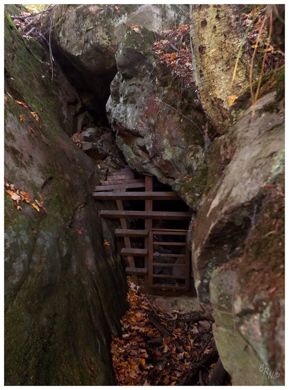
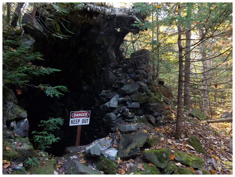
After pulling into a small clearing somewhere in the Ottawa National Forest last night; today we drove all of 10 minutes before finding ourselves at our first parking lot. A large staircase was visible & after packing our backpacks, we moved over to find ourselves in front of this silver mine adit.
Nailhed dropped his backpack & climbed the gate, moving to the other side in no time. I paused in consideration, as Nailhed is a far more skinny, nimble & dextrous man than I am.
I decided to let him go ahead & report back.
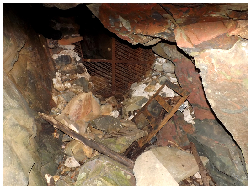
He told me the adit only went about 20 feet, but that it was still worthwhile.
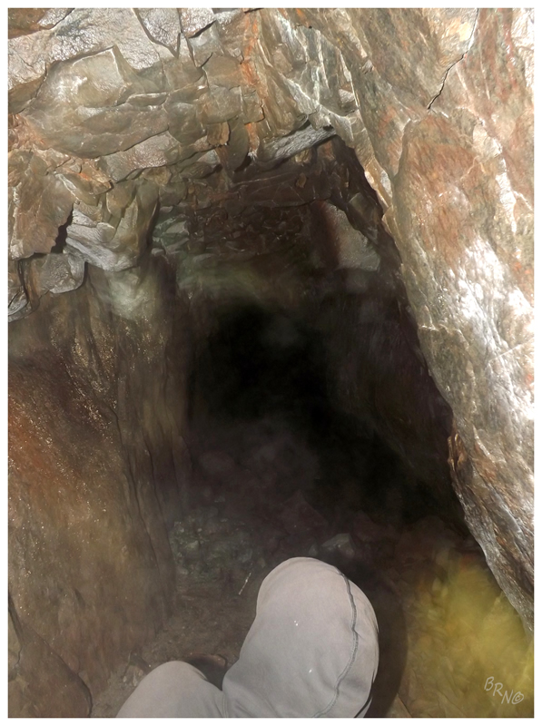
Weighing whether to let laziness & insignificance triumph this day, I knew that I should make myself climb inside. Straddled atop the gate & looking at the hole along the mine wall, I scuttled atop, twisting & turning my body in an attempt to find the best course of action. Eventually I put my foot down, like one would put their foot through a rotting floor. I had my one knee up in my face, while the other foot dangled in an attempt to find something, anything to stabilize.
I was stuck there, but for some odd reason, my problematic knee of 15 years wasn't giving me any grief, allowing me to sit there comfortably. So I paused and looked down, then calmly found the best foothold, before physically squeezing my other leg closer to my body, so that it could move through the hole. I had a bit of trouble with the ribs and hips, but thankfully I dropped down & didn't smash them along the sides in doing so.
All in all, it was worth it.
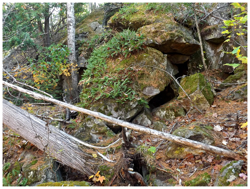
Moving along, Nailhed had coordinates for a trio of caves and adits on the backside of this mountain, so we set about finding those. I only had a car GPS - which admittedly doesn't work the best for finding absolutely precise locations - but is good enough to get you in the general neighbourhood...right?
Well the two of us spent a good 2 hours on the backside of that mountain, combing small swaths over & over again. Even moving pretty far off the coordinates in the thought of maybe the guy was using some sub par GPS, we found nothing.
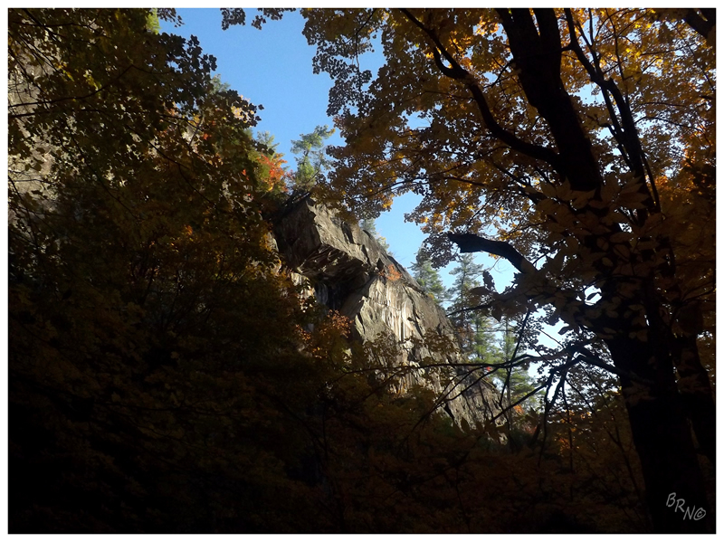
Then again, one can't complain when their morning involves being outside on a rock escarpment, in a t-shirt, without flies, exploring Michigan forest.
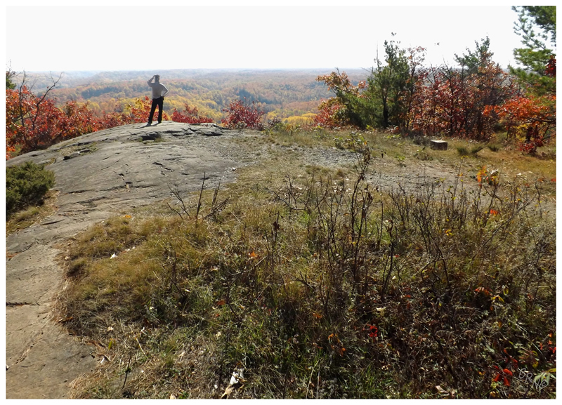
Since we were in the neighbourhood, we pushed up to the summit of Silver Mountain for lunch.
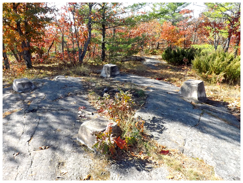
If you don't care about me bagging summits...check it out! Ruins!
(What you're looking at is the base of the old fire tower. This is where we sat kitty-corner and enjoyed our lunch.)
There was an hour of driving to be done before we reached our next destination, so I sat back in the passenger seat & took in all of this rural scenery along the Yoopee highways. I hadn't been feeling well, so I also sniffled and fought off sneezes while trying to enjoy myself.
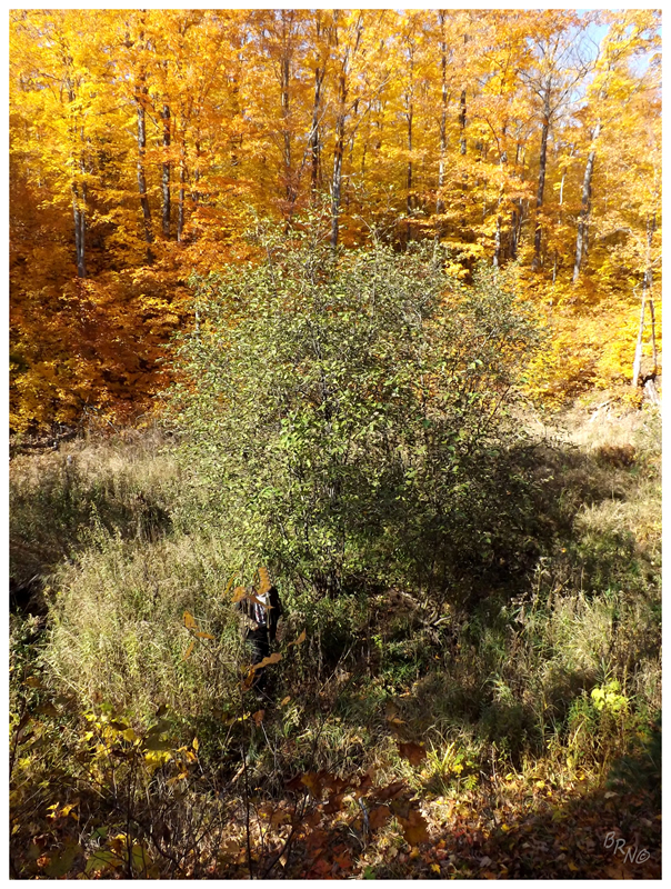
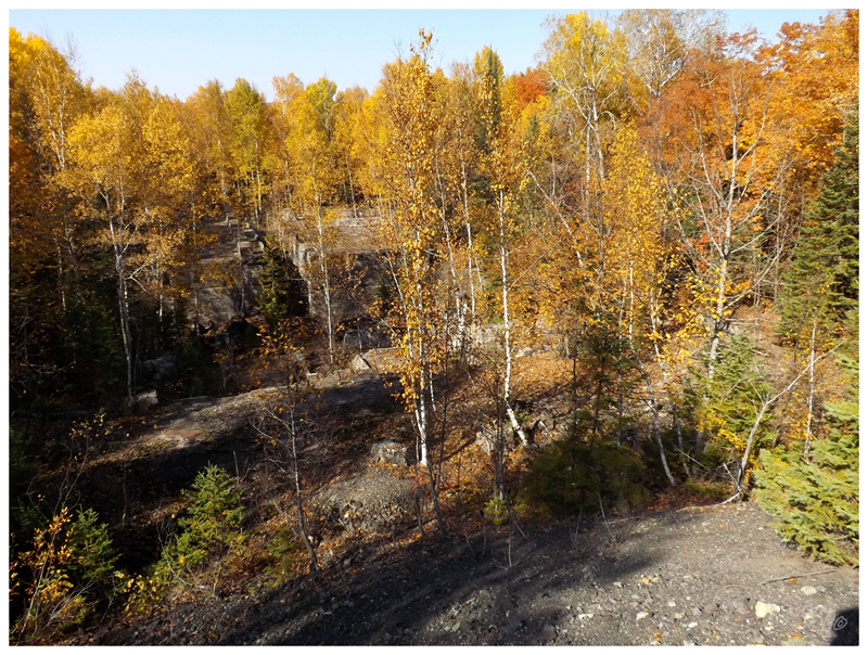
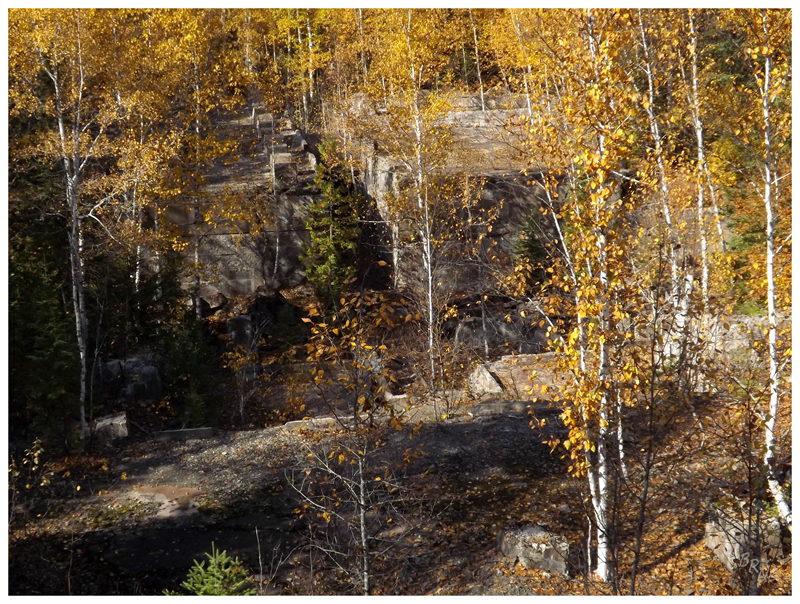
Parking near the tiny hamlet of Winona, we left the car along an ATV trail and dipped into the forest. While my eyes were watery and my head foggy, it didn't take us long to find ourselves in a forest of maple and birch, where amazingly 70% of my sight was taken up by golden, almost burning yellow.
So here I was, almost about to pass on this explore as I didn't feel right, now stumbling through the forest. I was sweating. I swallowed, but there was no fluid to go down. Nailhed was setting a decent pace & I was doing my best to keep up, while also trying to be quiet as this wasn't public land.
This isn't to say I was feeling ill, but it was almost like a scene in Fear & Loathing, where everything is strange & existential.
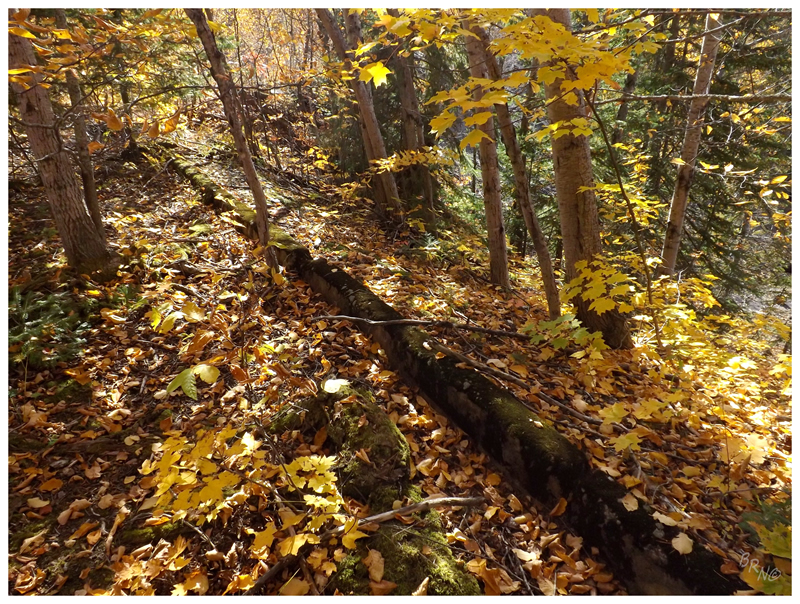
Breaking out of the forest on to a woods road, the tiny bit of brown soil soothed my retinas after all of that yellow.
We moved forward & found a trench and a curb, surely the foundation of something to do with this mine. I stared at the curb for a bit, pondering how I would clear out this area & have a curb out in the woods to bike if I lived in Winona.
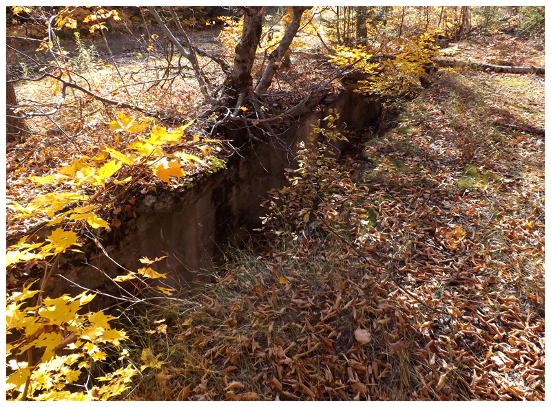
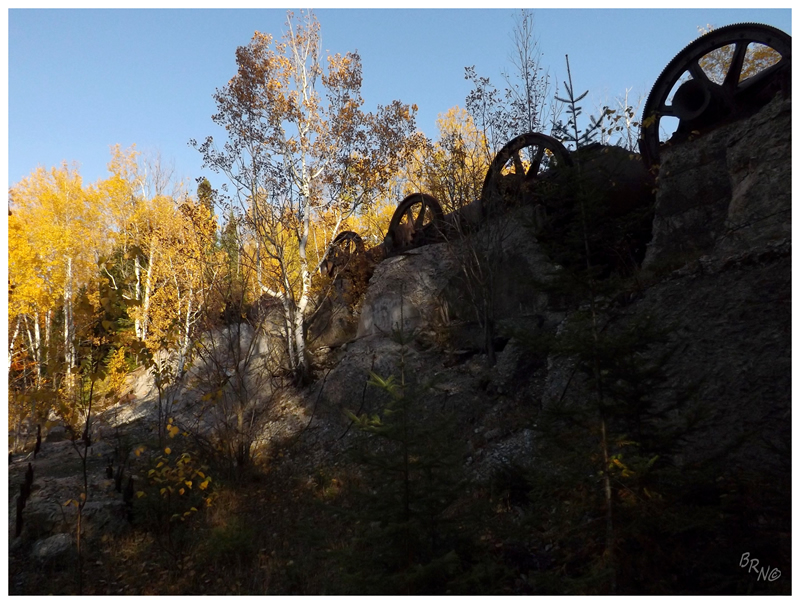
I was a bit sour at this point as we had been working hard and rewarded with a curb0...but that all changed as we walked further up the woods road to the scene you see above...
"Hooooooooly shit Nail!"
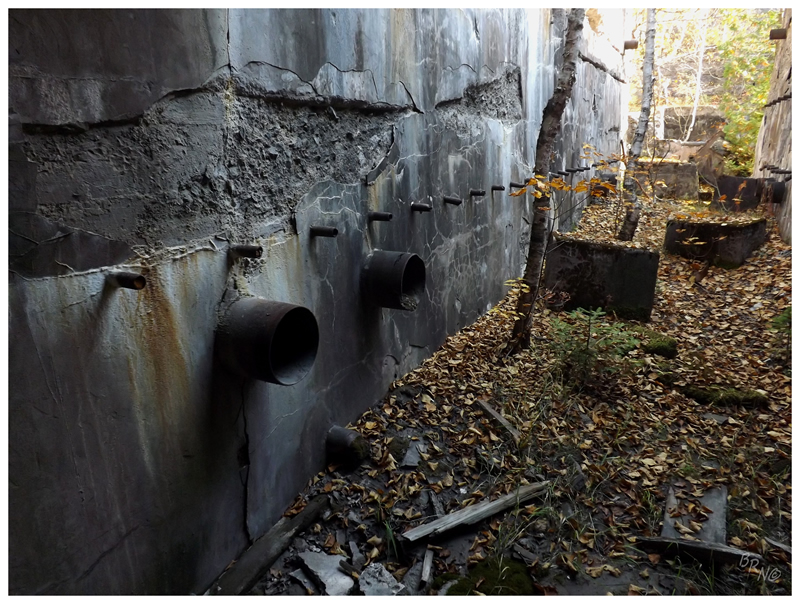
I was at a loss for words. I expected mostly small ruins on this trip, but I didn't expect anything like this! As I looked northward, there were concrete structures and rooflines behind every tree.
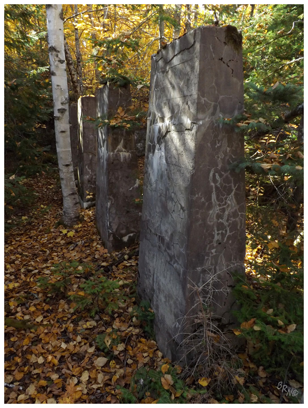
We hurriedly slid down the loose rock pile to the ruins of the King Philip Mine Stamp Mill.
As I was making my way down, I heard a strange noise a handful of times. I asked Nailhed and he dismissed the noise as "some bird", but it didn't sound like any bird I knew...hmm...
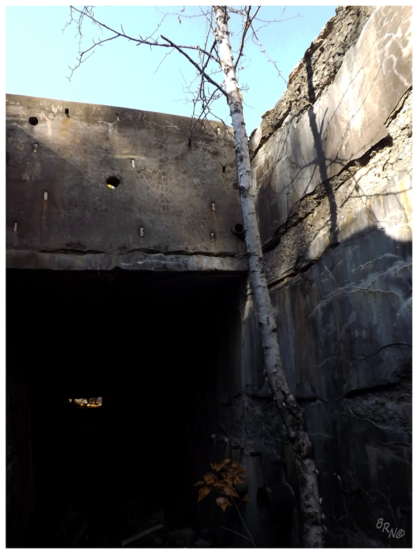
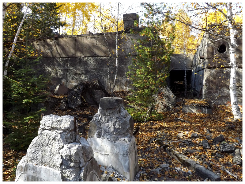
Anyway, how crazy was this? After taking a few pictures of those concrete blocks in the woods, I entered the corridor between two large concrete rooms, with a roof over top of me. To wander through a seemingly innocent forest, to look at curbs, and then to suddenly find this imposing structure in the next patch of land?
This was unbelievable, obscure & neat.
This site was originally mined through crude tactics by native indians. White man would eventually come around and incorporate a mine here in 1864, with support money coming from Philadelphia. Unfortunately that proved to be cost prohibitive, as all copper and supplies had to be moved to and from here by wagon. It wasn't until 1898, with a spike in copper prices and the creation of the Copper Range Railroad, that this would become a workable mine. It was reorganized that year & the townsite of Winona was assigned and started; as well as a mine president & superintendent were anointed.
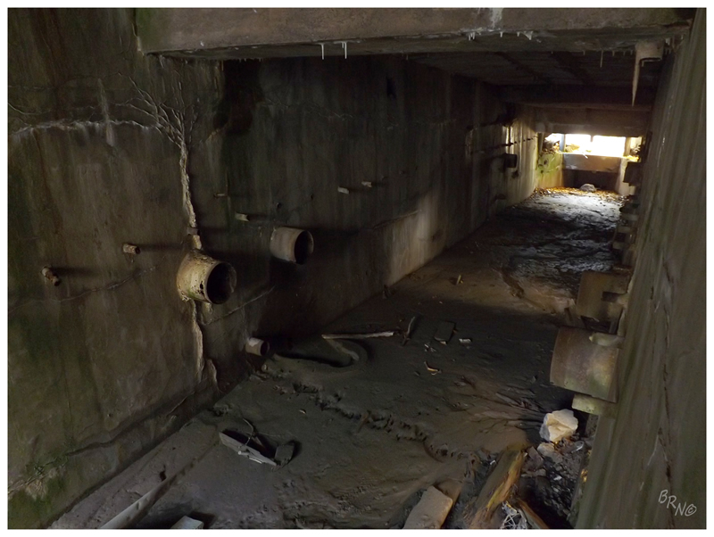
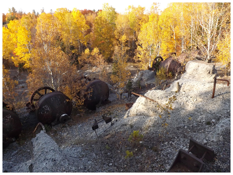
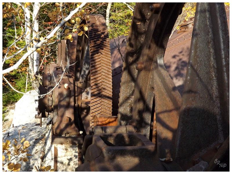
The mine would ship out its rock for a few years before constructing its own stamp mill, which you see in these pictures.
The Winona mine would merge with King Philip to produced 17,600,000 pounds of refined copper, before shutting down in 1920 due to the low copper prices following WWI.
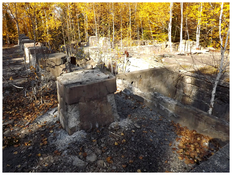
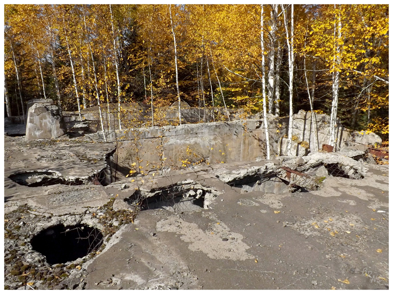
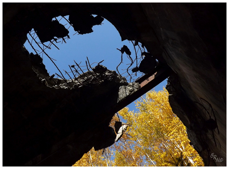
Of course we had to roof the place.
For something that has been sitting since 1920, it really isn't in that bad of shape. I actually don't believe it has been sitting that long to remain in this shape, but I can't find anything stating otherwise...
Edit: Nailhed makes a good, obvious point: "the "roof" you refer to is actually the floor of the mill (one of the floors) and would have been topped by a steel & glass superstructure that was later scrapped."
Incredibly happy with what we had seen, it was time to move on. Reaching the woods road again, we spotted an older man walking towards us, "oh no, this guy is not going to be happy with us..." I exhaled.
"You guys checking out the old ruins?" the man inquired, wearing a thin white shirt with a hunting vest and a 20-gauge shotgun in his hands. "Ah, okay. You see any partridges? No? Yeah me either, have a good day."
And that was that, the strange noise was his partridge call.
Back on the M-26 we moved west, grabbing our first motel of the trip in Ontonagon, before hurrying along to visit a few more places before nightfall.
We parked in White Pine, very close to a fenced off mine shaft. Ducking into the woods, we skirted a junkyard before suddenly seeing a group of rock tumblers situated up on a hill.
This is the White Pine Ball Mill, where they would put harder stones & steel pieces in the tumblers with the rock, to break down the material further.
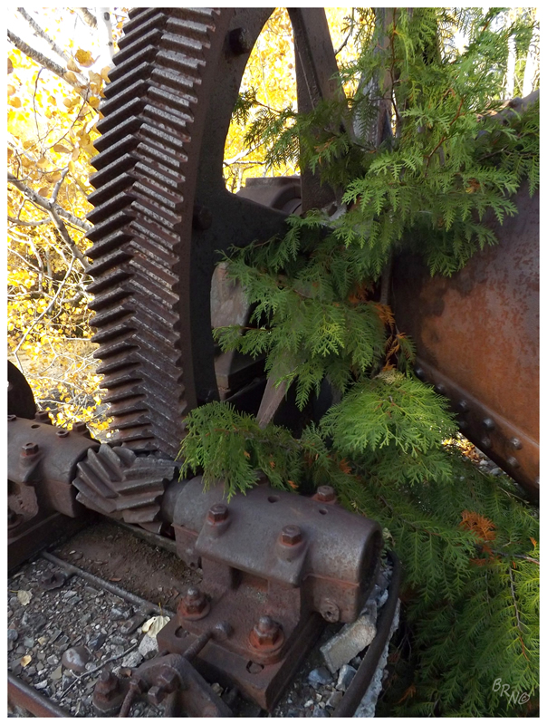
Just like the King Philip Stamp Mill, it was amazing to simply head into the woods and come upon such large ruins. There was a circular foundation with fire spots and empty cans of Busch Light below, forcing me to think about those who get to have bonfires here and see these wheels illuminated by moonlight.
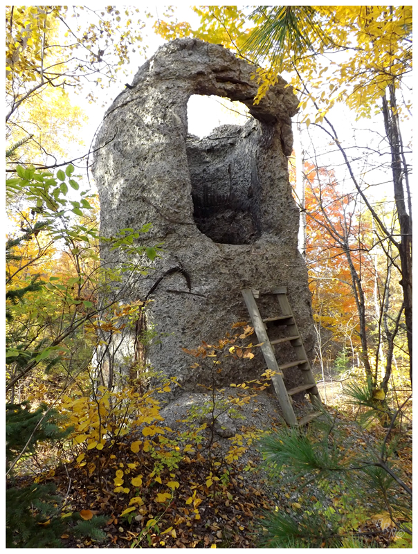
There was another two or three buildings worth of ruins, but they were pretty simple & didn't hold weight when compared to the ball mill. I did precariously work my way up the above ladder though, but as it swayed and creaked, I found nothing inside of the hole.
We sped back towards that highway along Lake Superior, then right back into the interior along South Boundary Rd.
Passing on one mine as daylight dwindled, we parked the car at the Nonesuch Trial before speed walking into the forest.
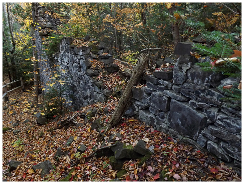
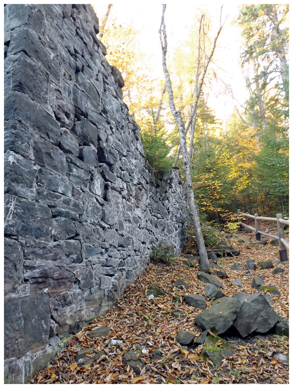
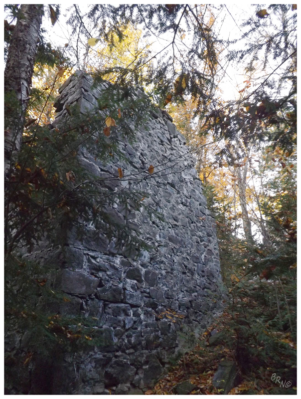
Nonesuch Mine is well preserved as it is located in a state park & has an interpretive trail, but it is still amazing how much stands out here in the woods. The tall stone walls, depressions and paths provided a better base for imagining these mining sites in their heyday.
It made me wonder if Nonesuch was so impressive because it was such a greater mining site back in the day. Indeed, it had a 30 pupil school and a baseball team, but it was never very successful. The copper was there in great quantities, but they didn't have a means of extracting it from "nonesuch" ore - as no ore of copper within sandstone existed anywhere else in Copper Country.
The last mining at Nonesuch occurred in 1912.
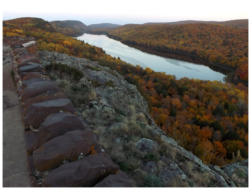
We finished up the day at the Lake of the Clouds, a scenic vista not too far into the Porcupine Mountains.
Thinking about dinner, we agreed that we'd be risking it to hope anywhere would be selling food at 930 in smallish Ontonagon. Not wanting to eat at the Citgo, we played it safe at a AmericInn Lodge hotel bar along the road back. This made me sad as I wanted authentic Ontonagon, but the hotel restaurant turned out better than expected with good people watching, Leinenkugels and a lodge feeling that I would envision of Northern Minnesota.
After a long day of exploring, it did the job.
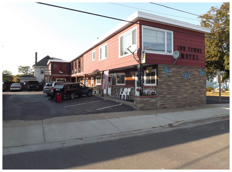
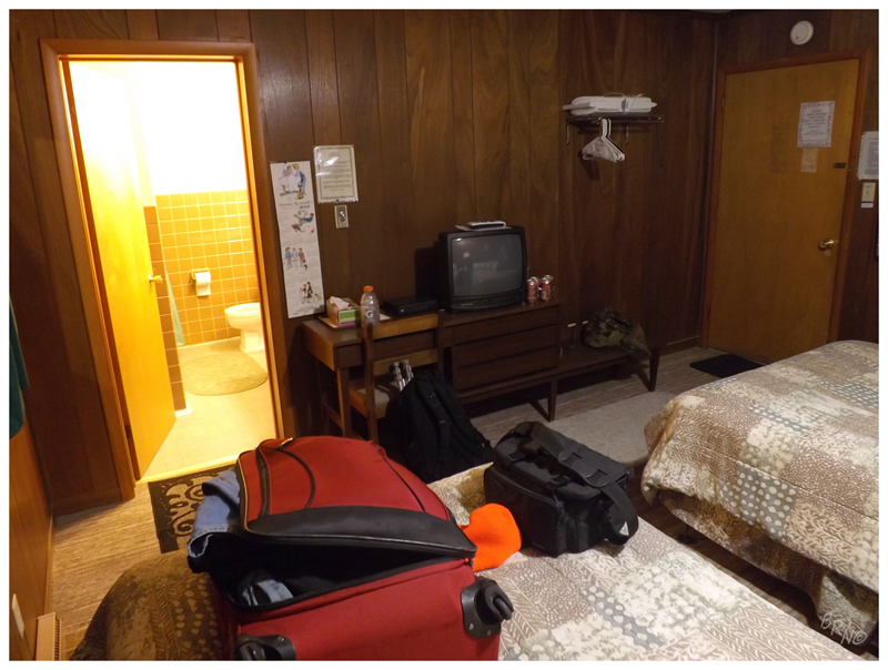
Returning to the Inn Towne Motel, I was excited to watch the Orioles-Yankees and Romney-Obama. Nailhed couldn't handle even a few minutes of useless politicians, so he went for a walk around Ontonagon - impressing in that he still had gas left in the tank after all of walking we did today.
Then again, I wish I went for my own walk around Ontonagon instead of listening to Mitt Romney myself, so maybe I should have followed suit & pushed through...
Continue to Part 5!