2014 was the second summer of having more than 1 or 2 Corner Brook friends, meaning that not every last weekend was dedicated to overnight camping trips on distant peninsulas. Now that there was more happening at home, sometimes summer weekends were better spent in the city for birthdays, parties or just lounging around with good company. This lent itself to seeing more of the nearby sights & appreciating some of the things I've always heard about, but haven't taken the time to visit. Driving out of town along the south shore of the Bay Of Islands, there are enough hikes, waterfalls & stop-off points to keep one busy over many trips. One of my greater oversights so far was that I hadn't hiked the Little Port Head Trail, where people spoke highly of the scenery & stressed it as being worthwhile. |
If only people would have went into detail about the lighthouse ruins, I'd have been there long ago! Parking at the Little Port Harbour parking lot, the trail starts with a cut across a grassy meadow that seems like somewhere houses should have been at one time. From there, there's a pathway into the woods with steep cliffs and rope holds to keep you from sliding into the Atlantic. I would have pictures from this part, but Rosie & Steve like to challenge their fitness by race hiking, leaving my out of shape (and maybe hungover) self behind. |
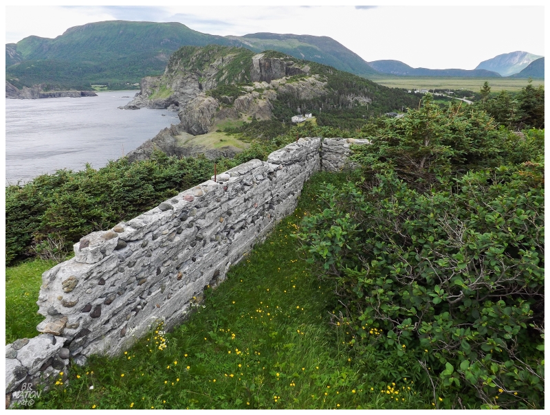
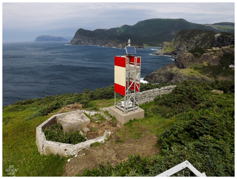
As the trail ahead becomes illuminated from the lack of trees & the land ends across the bay, the path opens up into the bottom of a small hill. Looking up, the ruins of an old structure become apaprent and one forgets the effort exerted in the short trail, excited by the ruins ahead instead. |
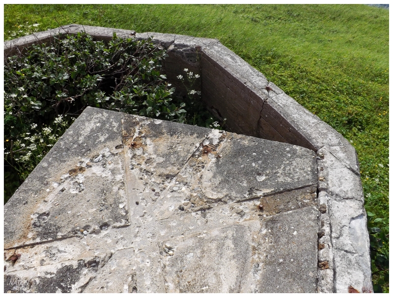
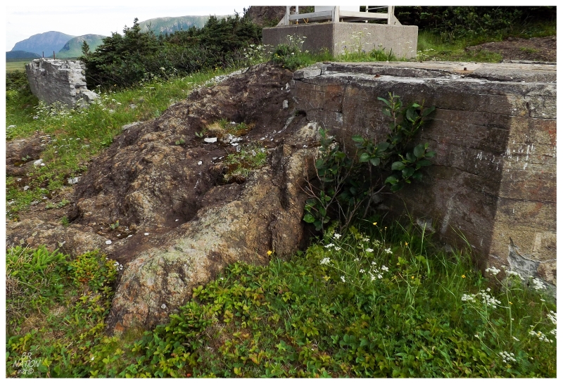
I would guess that the rock walls belonged to a keeper's house and the actual lighthouse was set upon this octagonal pad. |
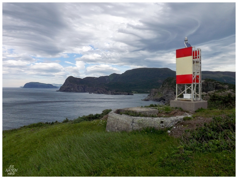
Amazingly, even though a lighthouse enthusiast by the name of Michel Forand recently posted 70 fantastic pictures with historic shots of many obscure Newfoundland lighthouses that haven't existed for years, White Point (Little Port Head) Lighthouse doesn't exist in this collection. In addition, searching the web, facebook groups & town websites for the society who maintains these trails, it doesn't seem like an old picture of White Point Lighthouse exists on the internet. Lastly, this lighthouse must've been built in the 1900s or later, as the old English hydrographic guides don't mention any light at White Point (these guides came from the 1880s). |
My guess would be that the lighthouse looked something like Botwood's old lighthouse, but maybe like one with a bigger keeper's house due to Little Port Head's inaccessibility (something like New Perlican's old lighthouse). The Botwood lighthouse was built in 1913 & Jean Point (New Perlican) was built in 1915. Aids to navigation go through trends & it would make sense that White Point (Little Port Head) could have been constructed around the same time. |
With how the ruins blocked the wind and held fluffy grasses & buttercups, of course my mind went to relaxing out here in the peace & quiet. My only worry would be how many people use this trail & the conversation you would therefore have to make. If only these lighthouse ruins were forgotten like so many others. |
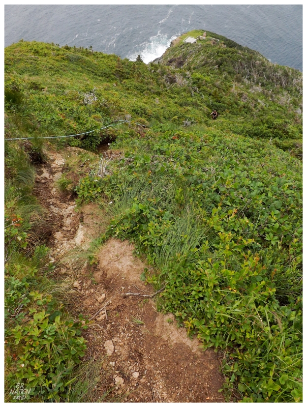
Looking back down at the lighthouse and helipad (top of picture).
After our group lounged about the helipad and I hurriedly took as many pictures of the ruins as I could - which still weren't enough - it was time for the next part of the trail, where it goes straight up Little Port Head, after the glorified switchback that is the lighthouse area. This part was like climbing stairs it was so steep, with another rope installed to help you out if needed. |
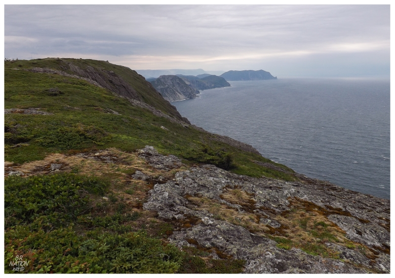
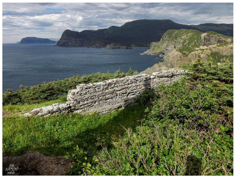
Reaching the top, the view looking south shows the exposed coast where there isn't any human settlement until you get to Fox Island River, about 35 km (22mi) to the south. The last big rock you see in the above picture would be Bear Head, which is only 12 kilometers (7.5mi) away. |
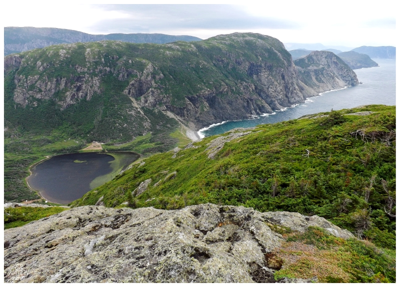
Walking across the top of Little Port Head, you eventually come to the other side and a view down to Cedar Cove. It was here that I could see a little cabin below and I liked how it gave the picture scale & substance, instead of a view out over nothing. What's funny is that Rosie came up and apologized for that cabin, because I guess they only put it there recently and according to her, the view used to be much better. I had to laugh at our opposing views of the cabin. |
I had once before tried to hike this trail, but was thwarted by bad signage. The signage is much better now, but if you still need help, simply park at the harbour in Little Port but instead of taking the stairs to Cedar Cove, walk up the ATV-rutted dirt hill right next to the harbour. From there, once you walk across the meadow, you can't miss the trail going into the woods. You might also be able to use the Cedar Cove stairs then turn right towards the ocean soon after (instead of scrambling up the dirt hill), but I can't recall exactly. What I do recall is that the signage is much better and it's easy enough to follow nowadays. |