It was Wednesday evening when I got a text message apologizing for the short notice, but informing me that there was space if I wanted to come out to Fair Island for the weekend. Corner Brook to Indian Bay is a 5-hour drive though and I wasn't particularly infatuated with this area like I am with the South Coast or the Northern Peninsula. I hemmed and hawed, but this was still a resettled place that you could only reach by boat, it was totally organized for me, and all I had to do was drive 5 hours each way. It was also a quiet summer up to this point and I needed to start accomplishing something with the touring season before it was soon over. I texted Kim to let her know I was coming. |
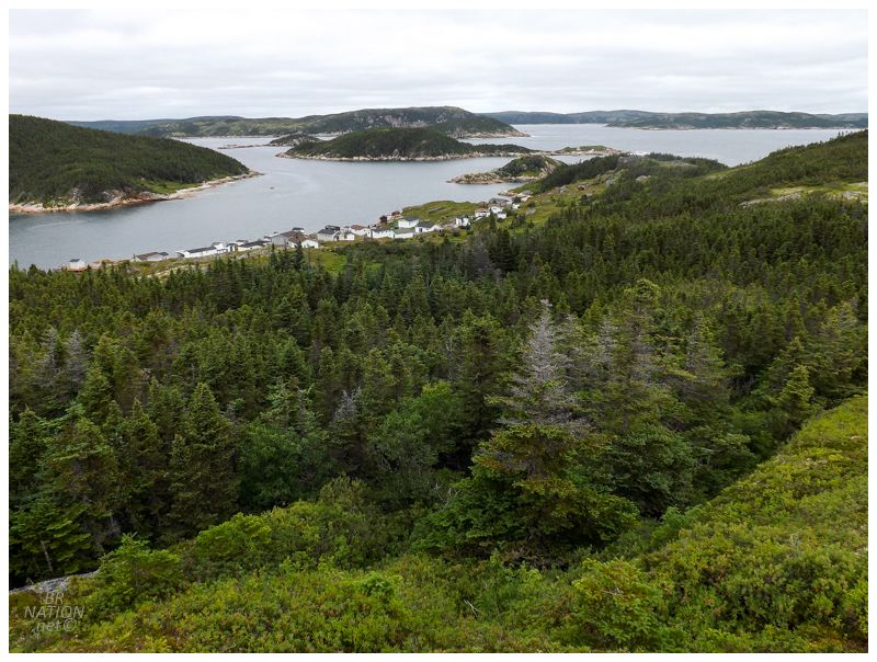
Trying to maximize our time on the island, the plan was to go out in boat as soon as everyone got there (everyone else was driving 4 hours from St. John's). Unfortunately the wind was up that evening and instead, we were left figuring out where we'd all stay in our host's house. After a whirlwind Friday of rushing out of work at lunch, then racing across the island, it was funny for everything to calm down and suddenly find myself strolling with a bunch of dogs on some random road leading back into the lands behind Indian Bay. By late morning, the conditions improved enough to get us over. Indian Bay is long, narrow and sheltered, then isn't even that open to strong seas as you exit into the Fair Islands area. We popped over easily enough, although I'm sure this also had to do with our experienced skipper, Shane. |
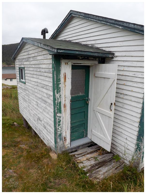
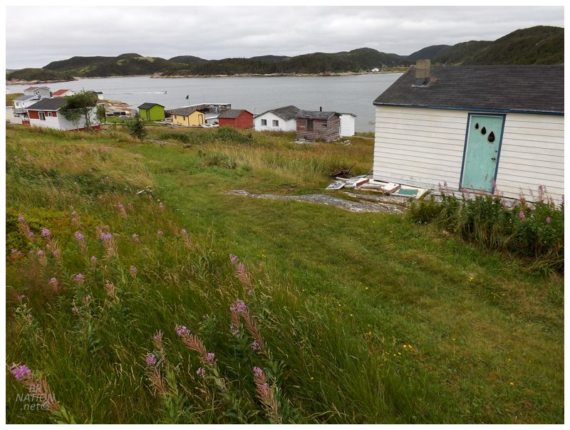
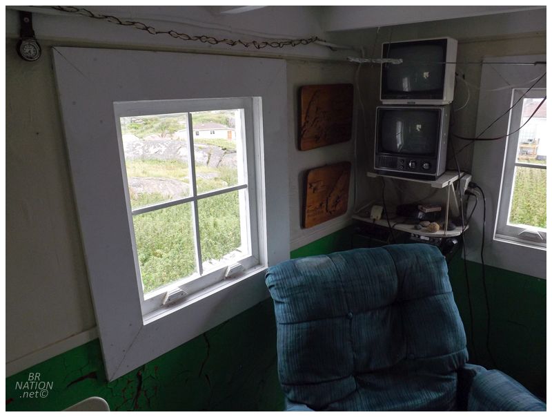
Unloading our belongings, the Fair Island sleeping accommodations were closer to the middle of town in a one-story, white clapboard house with green trim. I can't remember if it was Shane's Aunt's place or if she just owns it now, but it was awesome, free of vinyl siding and creaky enough to feel like a proper Newfoundland cabin. I'm not sure why I didn't take any pictures inside. |

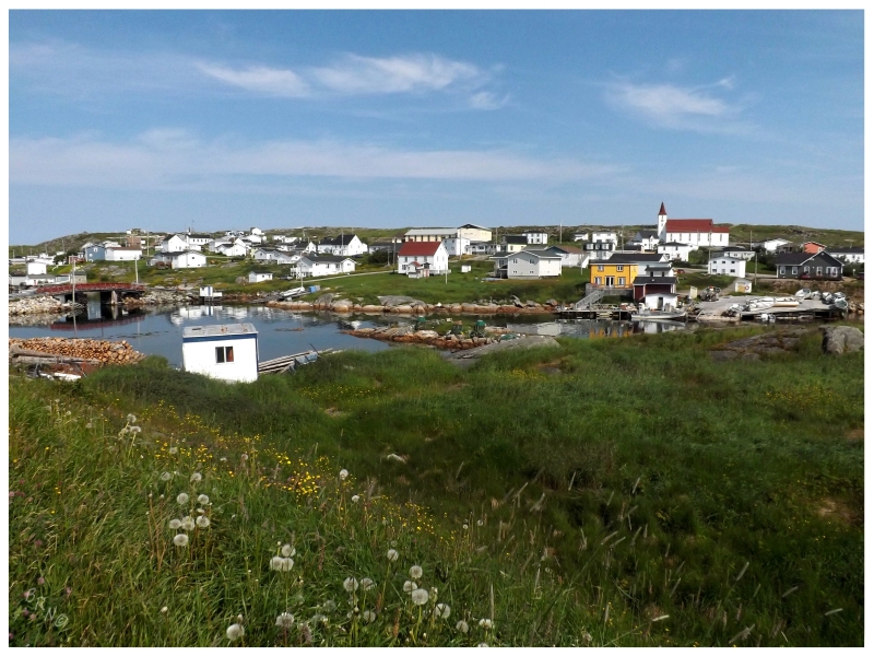
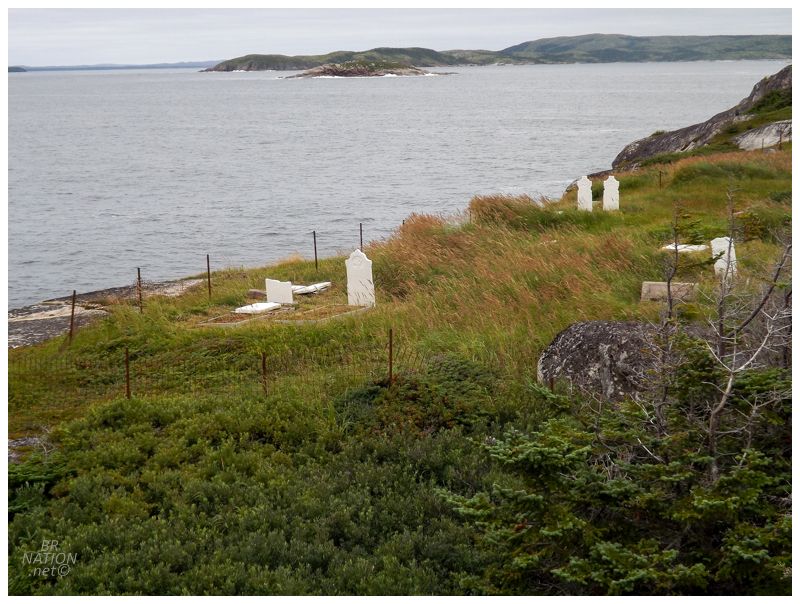
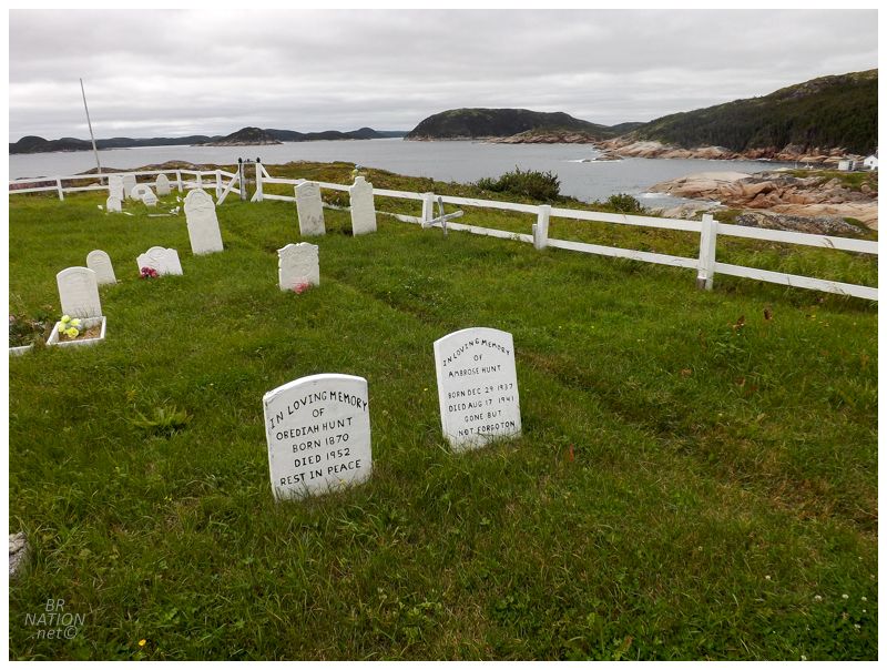
It wasn't long before a group of us headed off towards the town cemetery. Outside our cabin there was an impressive bridge crossing Fair Island's one major stream, the bridge a testament to the number of cabins you find here today. |
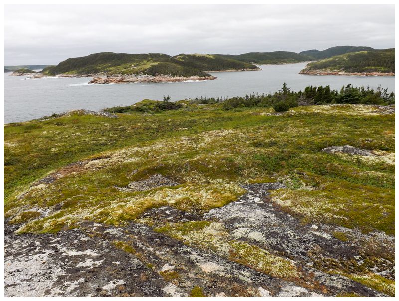
A typical grass-covered laneway cut over to the other end of the island. We didn't walk right amongst the houses, but more of up the hill and separated by yards from the cabins. At the end of town, a faint trail cut up the hill towards the southern end of the island, but quickly disappearing, it was still easy enough to pick our way over the grasses and short shrubs. |

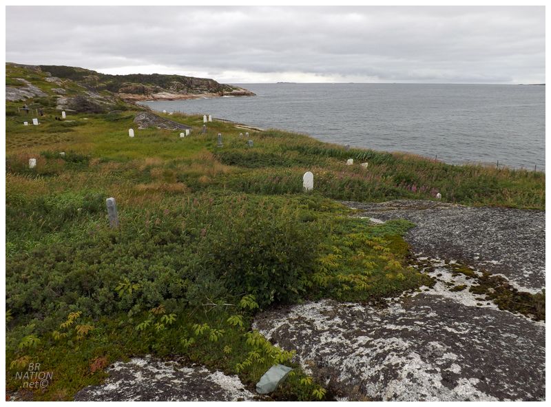
Climbing the small hill, 50 or 75 headstones were spread out over a meadow, surprising me as this cemetery isn't listed on the Newfoundland cemetery transcription site I use. For a website where I appreciate listings for some pretty obscure cemeteries, I don't even know the name of this one. |
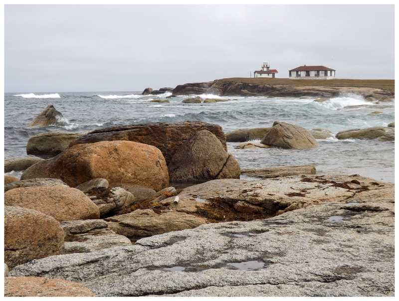
Behind the cemetery there was a good view over Grindstone Island, which sits at the mouth of the tickle separating Fair Island and Paul's Island. On a later boat trip, Shane pointed out this island and mentioned that it used to have a proper lighthouse and a keepers house. I couldn't find a picture of a Grindstone Island Lighthouse online, but Newfoundland had lots of little-known, small wooden lighthouses in places like this. |
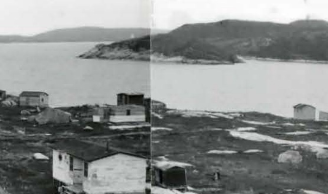
Looking at this cropped photo of Fair Island from 1964, it looks like the Grindstone Island Lighthouse might be visible. |
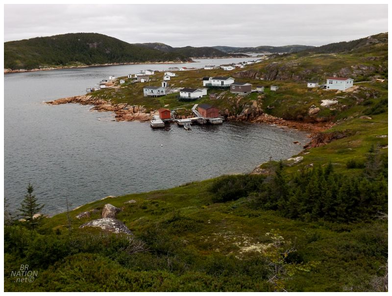
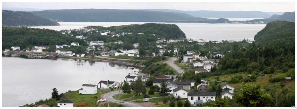
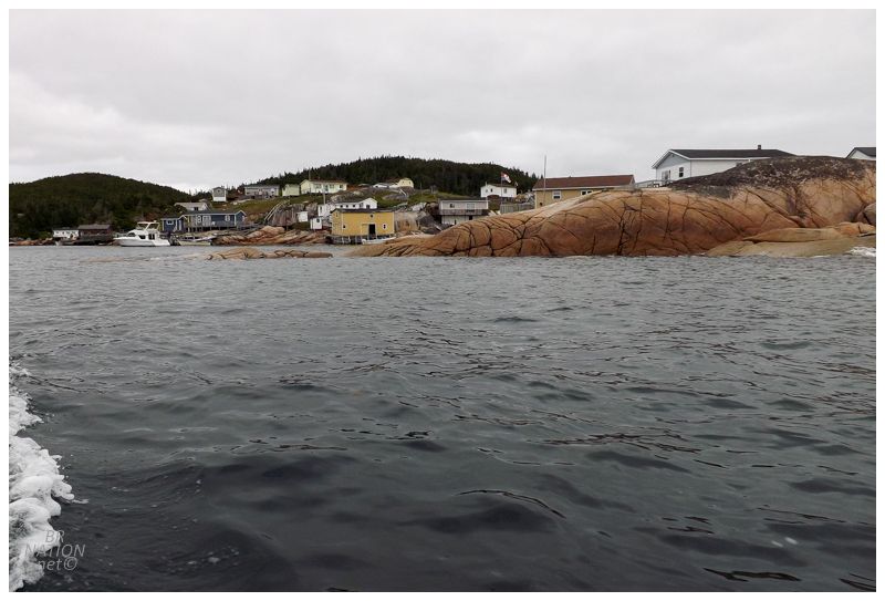
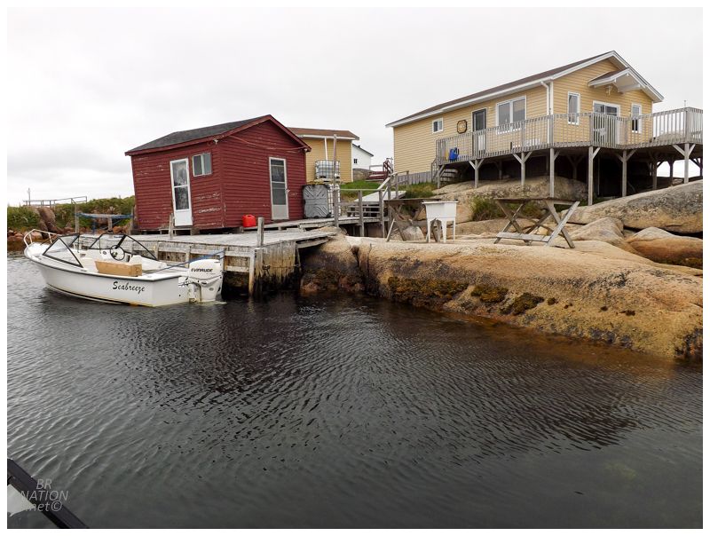
Looking back at the southern end of cabins and fishing stages on Fair Island. |
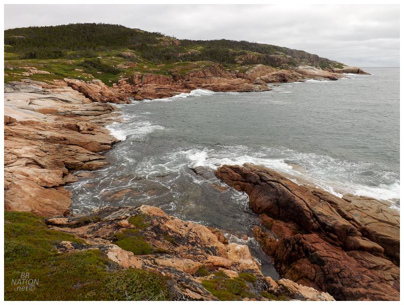
Unnamed cove on the backside of the island, facing the open Atlantic. Off to the left was a bog where the island residents used to play hockey. |
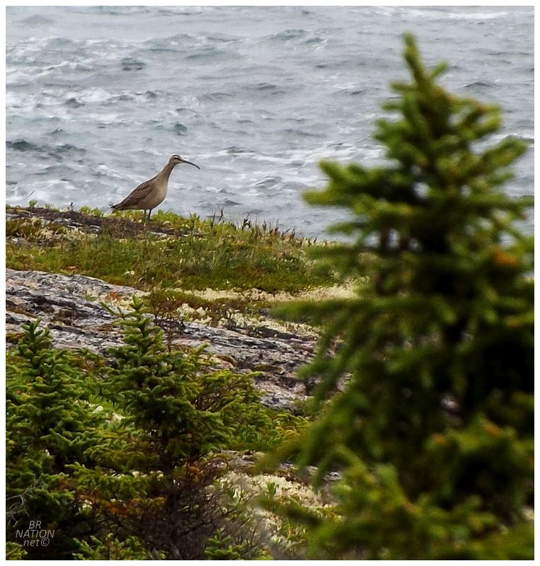
Near the backside cove, a strange, medium-sized bird flew up and I knew it was something unfamiliar. Once I zoomed in on my photo, it was easy enough to tell it was a Whimbrel, but I was disappointed in myself for not instantly knowing this. I'm always ecstatic to see a strange bird when I'm in a unique place though. I've seen Whimbrels in Raleigh, Forteau & Blanc-Sablon, but I'd use Fair Island as a location if I were to make a life list of birds for NL. |
The land to the north and east quickly became forested and closed in, so we clearly we weren't going to circumnavigate the whole island today. Cutting back towards the village itself, there were steep hills we picked our way up, steep enough that some of the dogs needed to be scooped and helped upward. Passing over the highest peak, an erratic sat alone and left no doubt as to the top of the island. The rock was so big and oddly shaped, that I hesitated trying to climb it, then failed as I gave a half-assed attempt, where I was more concerned with saving face and not embarrassingly falling to the ground. |
When we got back to the cabin, Shane let us know we'd been to kissing rock. So not only did I fail to climb this kissing rock, but I failed to satisfy the whole reason people make kissing rock pilgrimages. As for what we did the rest of the day, it wasn't much. Shane had to make a run back to Indian Bay, while the rest of us relaxed since it was overcast and already getting late. I usually try to be busier in these places, but I didn't see the point in going to take pictures when it was supposed to be sunny tomorrow. |
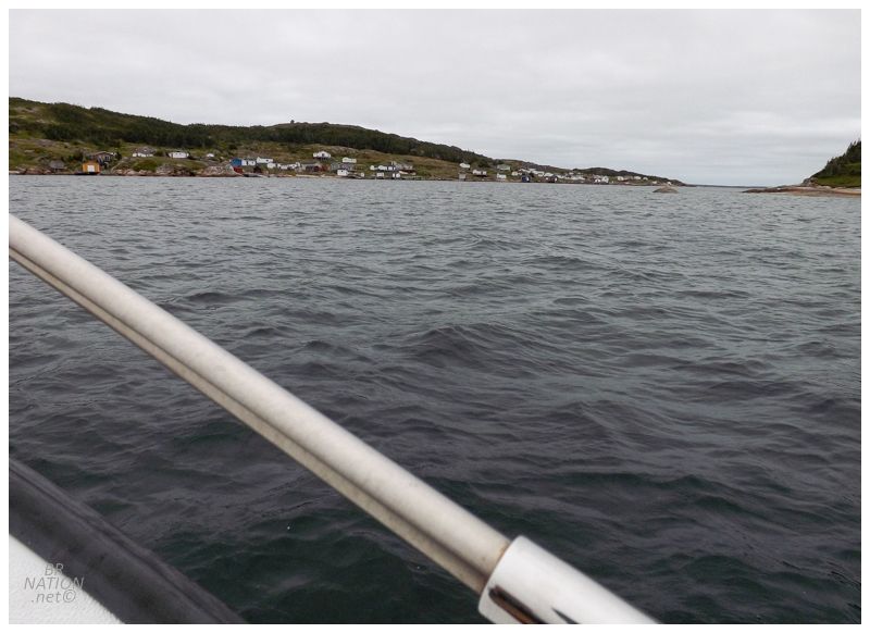
The next morning, the group gathered to head across the water to another resettled place in Silver Fox Island. Where I'd only heard of Fair Island because of Holizko, Kim and the MUN resettlement pages; I'd never heard of Silver Fox Island before. Silver Fox Island only sits 3 km (1.8 mi) northeast of Fair Island, but the crossing is open to the Atlantic and there was almost no land to my right, making it seem further and more monumental than a mere 3 km. |
Three km-long Silver Fox Island curls and has a small protected harbour known as Warren's Harbour, so named for the early fisherman John Warren, who was listed on Salvage census of 1675. Silver Fox Island first appeared in the Newfoundland census of 1836 with 8 people living here as one family. By 1869, there were 5 families consisting of 33 people; and by 1901, there were 82 people living here. |
The men of Silver Fox Island left for the Labrador fishery annually, while working in the woods during the winter offseason. As the Labrador fishery declined in the 1930s and 1940s, more of the men worked in the cutting operations at Indian Bay, creating pitprops (wooden mine supports) for England. They also worked the nearby inshore fishery. The population of Silver Fox Island peaked at 198 people in 1948. |

Silver Fox Island, 1953. From the Maritime History Archive resettlement exhibit.

Same view, 2017.
The 1937 purchase of Indian Bay operations by Bowaters led to greater pulpwood harvesting and more jobs. With fellow residents choosing this easier and more stable life on the 'mainland' of Newfoundland, islanders then had the appeal of a steady job plus nearby relatives over in Indian Bay. This led Silver Fox Island residents to slowly trickle away, until the final eight families all moved to Black Duck Cove, adjacent to Wareham, in 1960. As these places were resettled and abandoned, this is an area of Newfoundland where almost all of the houses were floated inland to places like Dover, Trinity, Centreville, Wareham and Indian Bay. The Library Archives of Canada has an image of one of the Silver Fox Island homes nearing the end of its 27 km (17mi) voyage down Bonavista Bay to Dover. |

Very few homes stayed or survived out on the island, but today there was still this two-story, full-upstair house with something like a gambrel roof. I didn't take a picture of the outside because it's now clad in weathered yellow vinyl siding, but the interior was ancient and authentic. |
This house dates to the 1890s and is the oldest home still standing on Silver Fox Island. I loved that Shane took the time to let us inside to have a look around. |
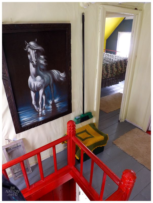
Access to the upstairs was via a creaky, almost vertical staircase of red steps, leading up into a small hole in the floor. I barely fit as I wiggled my way upwards. Once upstairs I had to skirt past others in the narrow corridors, while trying to move around and peer into each room and at all of the interesting things. |


The wallpaper was spectacular in all of the upstairs bedrooms. It made me think of visiting and staying in one of these small rooms, with these fantastic patterns fading away at night and then shining again in the morning. |

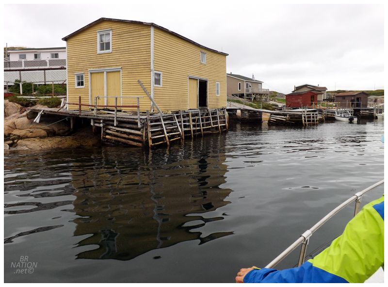
Closing up the old house, we picked our way down grassy paths to this big yellow stage down by the harbour. Shane hung out here as a kid and made me instantly jealous, saying that he used to jump off the roof into the water. And while I enjoyed my salad days hanging out in the woods of Emeryville off Caille Avenue, and I would have been too much of a coward to jump off this roof as a kid, I now longed to jump off it as an adult, haha. |
This stage and loft is another original building, dating back to at least the 1910s. Original floor boards here are held together by the same nails that installed them in the first place. It also had everything you would need, from a toilet to varying views out over Silver Fox Island. I definitely wouldn't be opposed to having a few Indias here. |
Leaving Silver Fox Island, the next stop was to fish for our dinner. Now throughout the day Shane had been pointing out land features and places with tidbits of history, but it was when he pointed out Offer Gooseberry Island in passing, that he told me one of the more impressive things. You might struggle to see the little, barren rock near the dead centre of the above picture, but that's Offer Gooseberry and after asking Shane if he'd been there, which I expected him to write off because so many Newfoundlanders don't go to islands unless there's a reason, Shane surprised me by saying he not only rode his jet ski to Offer Gooseberry, but rode it so far past that he couldn't see it anymore. There isn't anything past Offer Gooseberry, which makes this all the more insane. This isn't riding past Woods Island and still having the Bay of Islands around you, but rather just going away from the Island of Newfoundland out into the open sea, where the next thing you'd hit is the shores of Ireland. I guess he'd be the one who could get some of those crazy lighthouses like Cabot Islands, haha. Personally, I'm all set on riding a jet ski in these seas. |