Nicole had business in Grand Falls-Windsor one weekend & that was a good enough excuse for me to tag along. I like GFW, but sometimes driving 500 km (310mi) there and back, can be a bit too much.
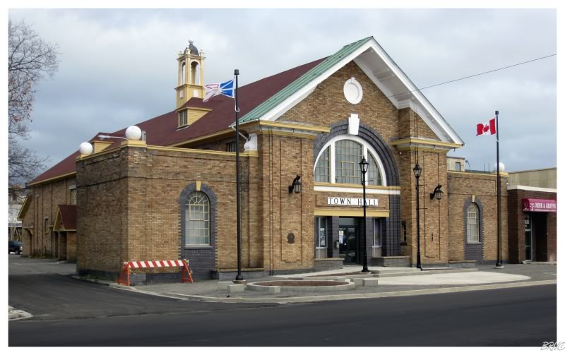
Any excuse to check out the old mill town, along their couple of 1920s buildings, is going to be used.
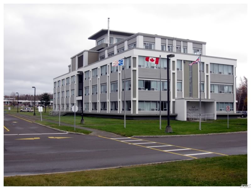
(The top building is the 1990 courthouse, the bottom is the 1929 town hall.)
It also gave me a chance to check out old haunts.
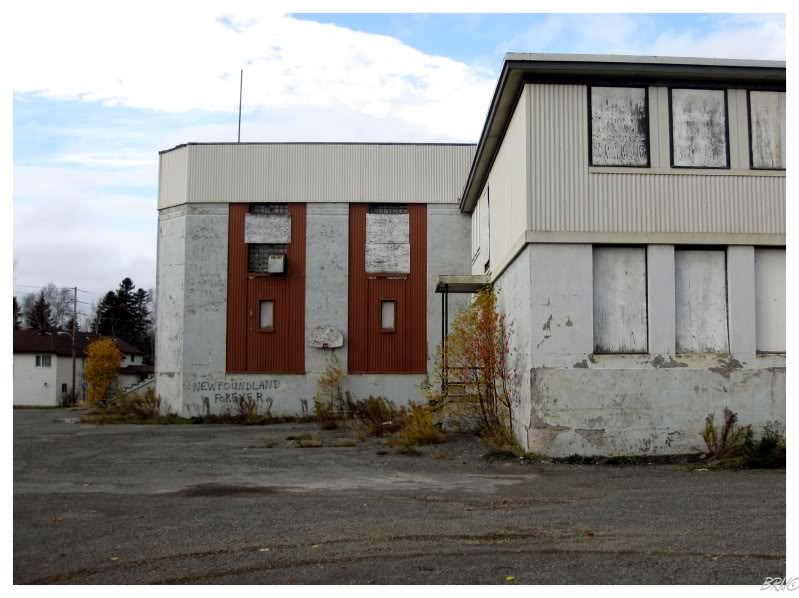
I noticed that they piled dirt above the basement entrance; which would have been nice to see a couple of years ago...you know, before I climbed down there and failed to find an entrance into the main part of the school.
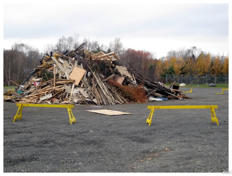
I also walked by a giant pile of wood as this was Guy Fawkes Night. (The Newfoundlanders celebrate this dude who tried to burn down some English government buildings, by having giant bonfires on Guy Fawkes Night).
I never really cared about the bonfires previously, but this impressive pile of wood made me think twice about possibly attending one.
I have to admit, Newfoundlanders sure know how to enjoy certain aspects of life without letting the new age pussyfication of society get in the way.
Another reason I tagged along this weekend, was because I knew we'd have some free time before having to return home.
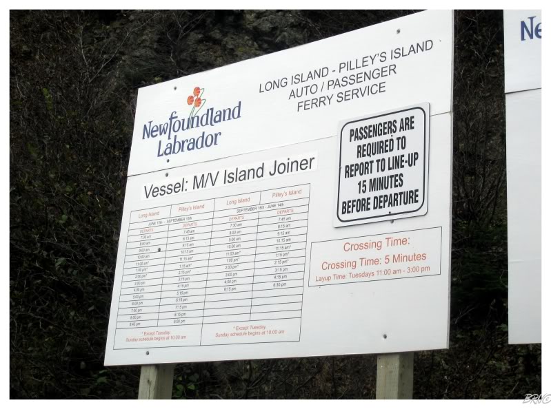
We left GFW & drove north to the NL-380 to reach the ferry line-up for Long Island - we were going to check off another of the 14 provincial-ferries-to-outport-communities!
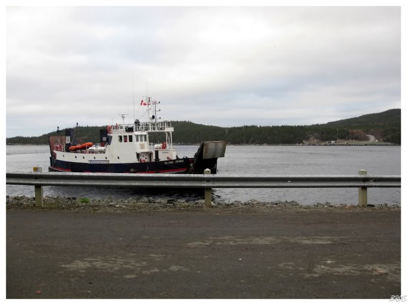
The awe-inspiring MV Island Joiner would attempt to cross the treacherous Long Island Tickle during our epic 5 minute voyage!!
(In the picture above, you can actually see where the boat lands on Long Island).
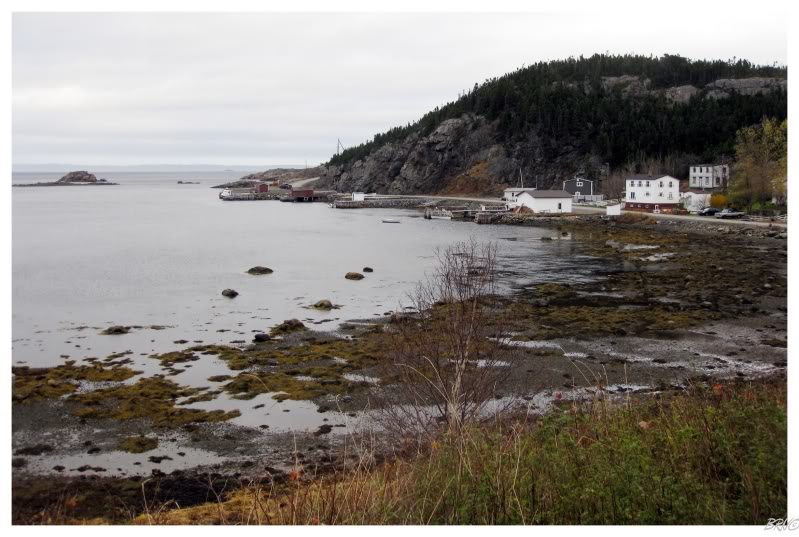
Long Island is named because it is approximately 12km in length, but mostly less than 2km wide. Fisherman started populating various coves at the start of the 1800s, and they would eventually congregate into 3 communities on the island. In 1968, these communities amalgamated and now the island is home to one community: Lushes Bight-Beaumont-Beaumont North. The kind of community with a name that just rolls off the tongue.
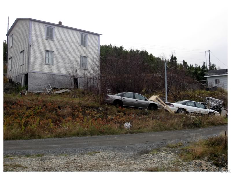
According to the 2006 census, the population is 276; but it sure seemed sleepy when we were there. Then again, it was a dreary day in late October...
We drove up a gravel road which didn't seem promising, but only because I thought we might be able to see the island's lighthouse off in the distance. You see, there is a lighthouse on this island, but the trails and roads only put you within 4km of the lighthouse, and the backcountry in these parts is very t'ick forest as they say.
I had always planned on seeing the lighthouse here & therefore, this trip was a part scouting trip for me.
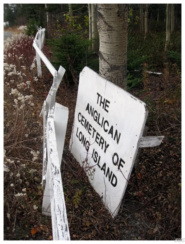
Although we couldn't see the lighthouse from the top of the road, we did stumble upon a decaying Anglican cemetery. It was one of those instances where you wonder what you're passing by, as you skip the countless gravel roads around you.
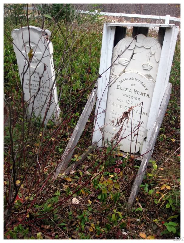
I was amazed with how rundown their cemetery was. I'm guessing that Long Island is no longer populated with Anglicans?
Then again, the topographic map for the island doesn't even show this cemetery - so who knows how long it has been abandoned.
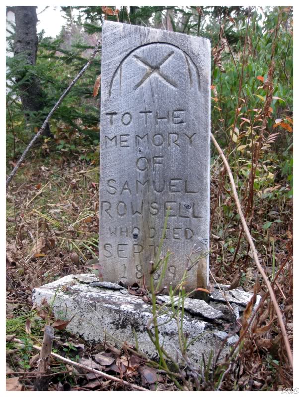
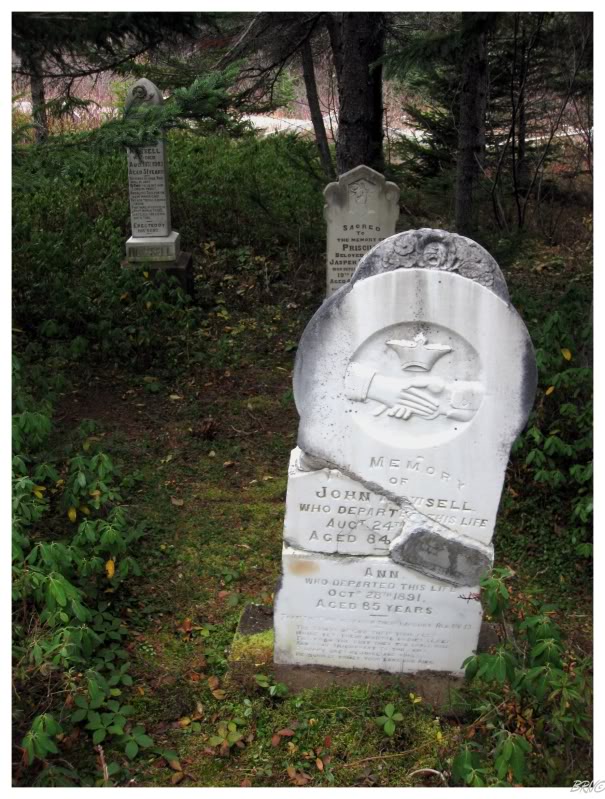
It kills me that I didn't notice that stupid grass blade until I put this picture on my computer.
Long Island isn't a big island, so we drove around aimlessly after checking out the cemetery and the town.
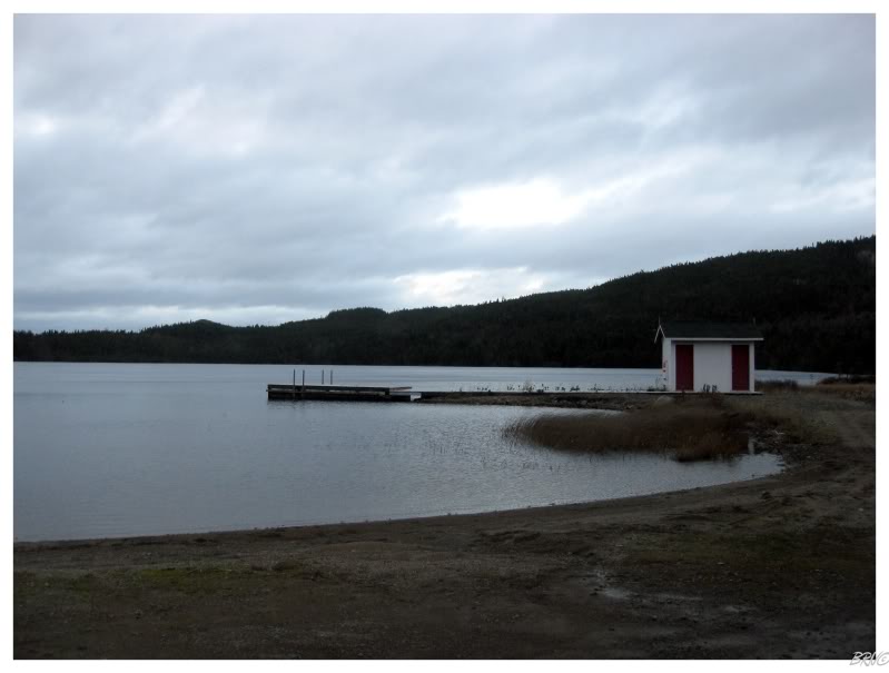
The island did have a nice swimming/recreation area though. It was a shame that it was October.
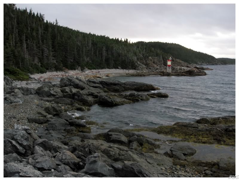
We also busted up some tiny skeleton tower which we could see from a nearby road.
Getting to the skeleton tower involved a fun excursion through someone's yard - where I had to tell Nicole to keep moving & to stop watching whatever the people were watching - followed by a short jaunt over some treacherous rocks.
Also, it ends up that this island now has at least has two of these forgettable skeleton beacons - as their 1904 lighthouse was replaced in 2009. (The last restoration occurred in 1990, and then they let their lighthouse fall into all sorts of rusty decay.)
I take some consolation in the fact that I never got around to breaking into these woods and trying to bushwhack to the (nonexistent) 1904 lighthouse.
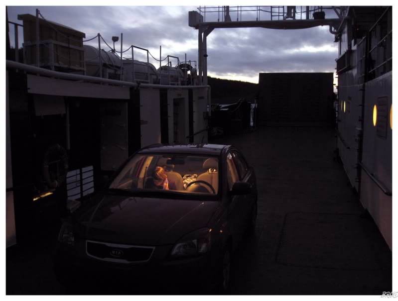
We drove back down to the Long Island Tickle, the ferry came & we would be the only people on the M/V Island Joiner yet again.
It was that time of year where the days are growing shorter & the majority of the drive home was at 90 km/h (55mph) just to be safe (to avoid moose).