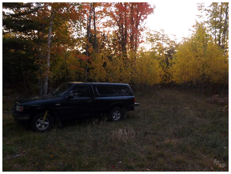
Since it was so late in the year, the sun would take its sweet time illuminating the sky.
Once light finally came, we broke camp (i.e. we put up the truck's tailgate).
As I was scarfing down my breakfast in preparation for the day, Nailhed was already passing me coordinates. After all of 10 minutes on the road, we had already zoomed by our destination as we passed over Alder Creek. Putzing around the road for a short time, we eventually decided on a sandy track that seemed right. After some jostling, we eventually came to a sign for our trail. It was one of those wooden signs with the curvy edges and black engraved bubble letters. Nailhed remarked on the fact of their being Yooper Signs for everything up here.
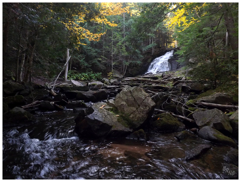
It was a brisk morning as we descended the stairs and trail down to the creek. It didn't take very long to reach the Alder Falls themselves, and once there, I found a substantial, 30 foot waterfall washing various angled rocks and moving past sitting pools.
Nailhed & I both crossed the creek by hopping rock to rock. He would wander up further into the forest; while I sat down on a fallen maple near the second set of falls, enjoying their noise and the peacefulness of the forest clearing.
We were back on the road and entering the village of Big Bay before I knew it. Where Nailhed had told me to be prepared for 2 days without civilization, here I had found a store within an hour of being awake - coffee time!
Big Bay itself was a little place, a mix of vacation homes, working-class houses and the odd impressive historical building thrown in. We drove a few of the side streets, but the main point of coming to Big Bay was that we were close enough to the lighthouse that Nailhed figured we might as well stop. He wasn't doing it solely on my account, but while he likes lighthouses, he won't drive hours upon hours in search of them like I will.
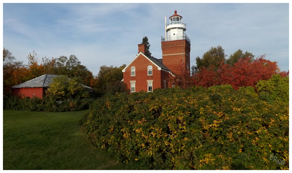
Pulling up to what is now a bed & breakfast, we were a few minutes early of the visiting hours, but there was already handful of people on the grounds.
A lighthouse was recommended at Big Bay Point due to its location 15 miles from the light at Granite Island to the east and 18 miles from the light at Huron Island to the west. These two lights were invisible at certain points and at this time you had an incredible amount of freight moving between Duluth, Chicago, Detroit & Buffalo.
It became a private home in 1961, then a B&B in 1984.
The grounds of the lighthouse were expansive & the two of us wandered.
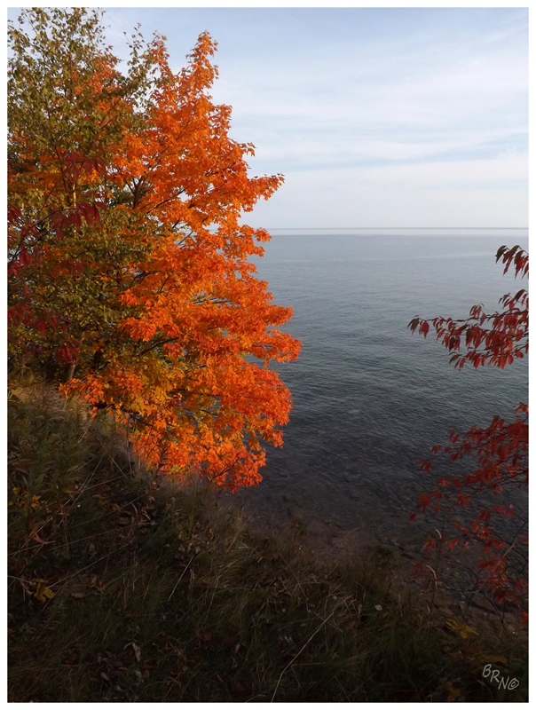
As this was only my fifth trip involving Lake Superior I'm surely no expert, but this was by far the calmest I've ever seen her.
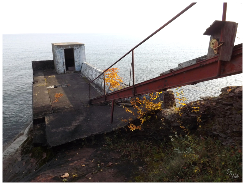
I noticed the supply dock ruins during my wanderings and couldn't help myself. Lake Superior had made a mess of the staircase, but the sandstone was slippery enough to slide down onto the concrete platform.
The funny thing was that Nailhed & I were both wondering on our own - but now I've seen his pictures from this trip & discovered that he couldn't help himself either.
That was enough of civilization and man-made structures for today though. We went back through Big Bay & hung a right onto County Road 550, before taking a left onto the even lower grade County Road Kaa.
Looking at the road atlas & the GPS I was using to navigate, I was impressed with the empty swath we were entering. Even if you don't look at the map links I usually post, this is worthwhile to see the very few roads which pass through this area.
An added bonus was that the roads were quite good because of the active forestry? The active road building for mines? The cabins? The amount of sand? All four?
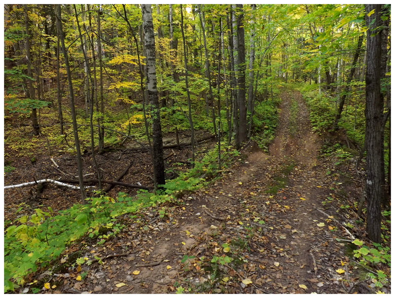
We would find a rough road soon enough as our search of further waterfalls brought us onto Bushy Creek Truck Trail.
...and here I didn't even know Truck Trail was a designation of road!
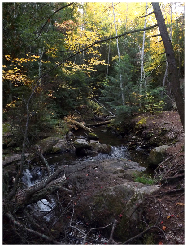
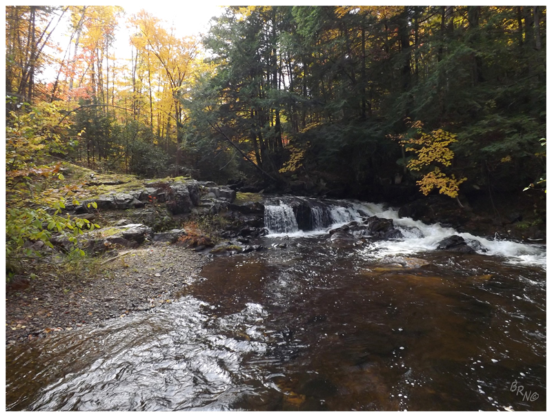
Driving about 2 miles on the truck trail, I was starting to really appreciate the Ranger as a mode of transportation. As the waterfall coordinates grew closer, we thankfully came close enough when a formidable hill and creek lay ahead. Leaving the truck parked at someone's driveway, we moved down beside a small creek towards louder water.
These are Yellow Dog Falls #7.
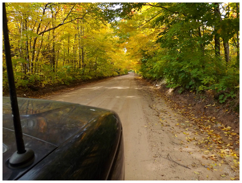
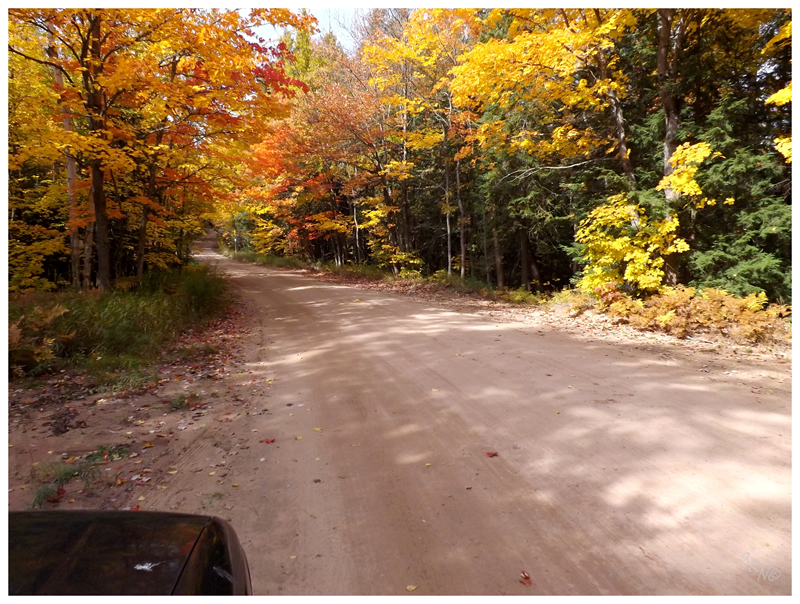
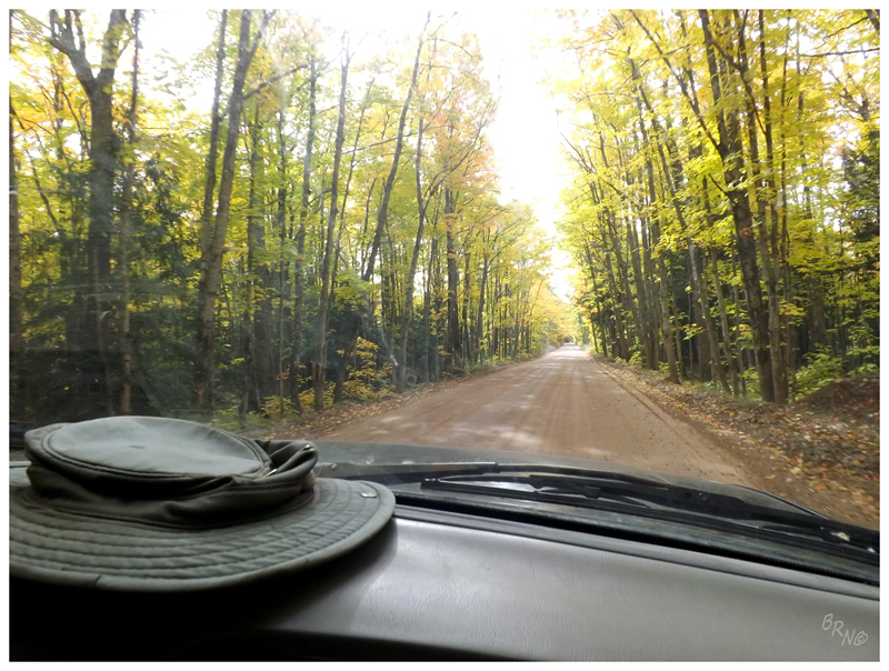
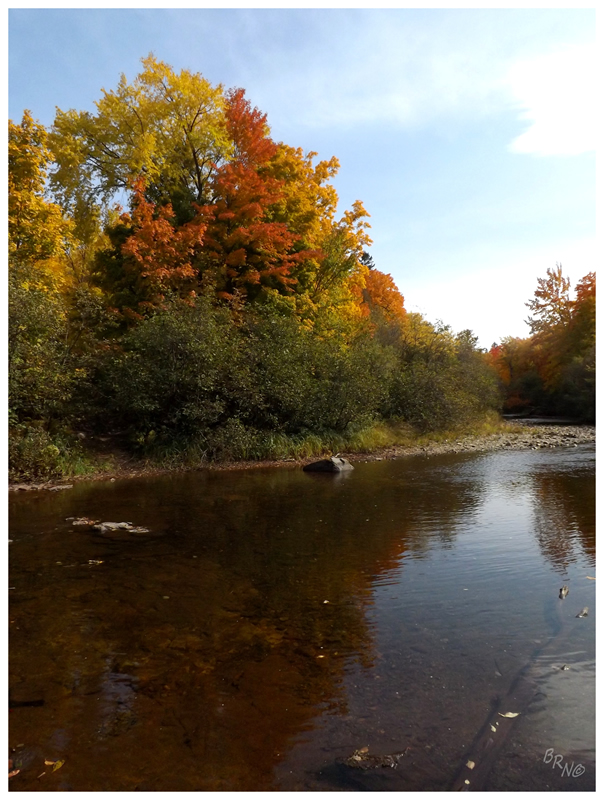
Back out onto the more civilized County Road IAA, it was apparent that there may be no better time to travel these backcountry roads than late autumn.
With some regularity we would find ourselves stopped (or at least slowed down) taking pictures of the vibrant leaves encroaching on the sandy paths (that was until one of us would make fun of the other one for taking pictures of the pwetty leaves).
Continuing along, you know those giant CAA/AAA road atlases that are bigger than a grown man's lap and dwarf small children? Well where most people have one of those for the entire country, Nailhed has one of those just for Michigan - providing an incredible amount of detail over every last acre of The Great Lakes State.
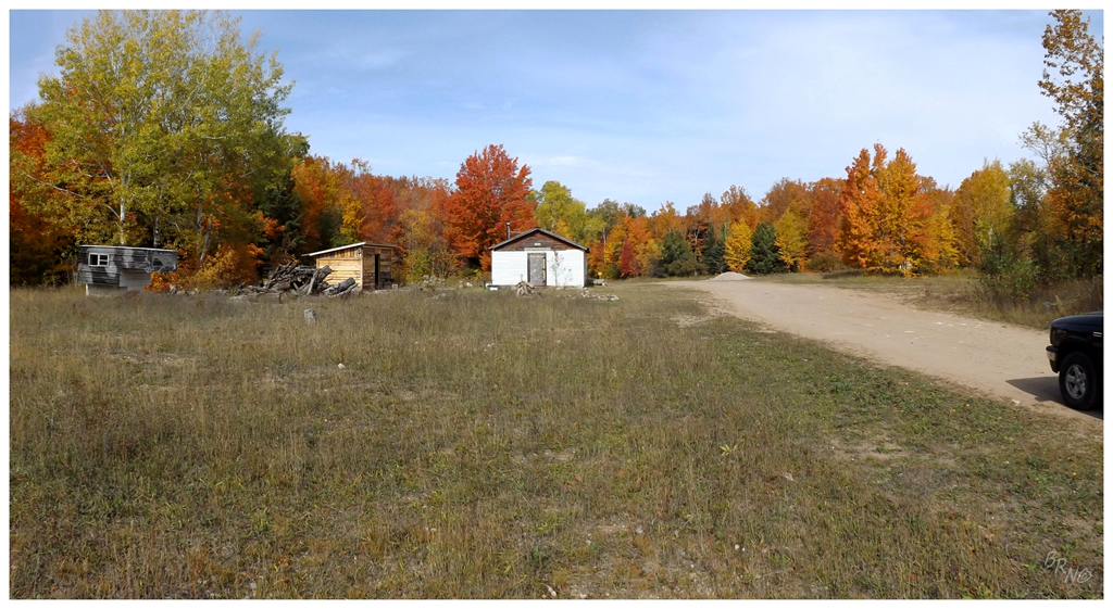
Trying to merge where we were going on the GPS and where we were going in the Michigan Road Atlas, I discovered that soon we'd come to Dodddddge City!
How about the above scene in terms of obscure hamlets! The two of us snapped some pictures & even to this day, about the only thing I can find on Dodge City is that there is a hundred check-ins to Dodge City on facebook. (Even wikipedia pages which are usually quite useful for listing old villages in county/township pages, doesn't have it listed.)
The majority of ghost towns in this region are old lumber camps - which I'd have to imagine was the reason for Dodge City existence.
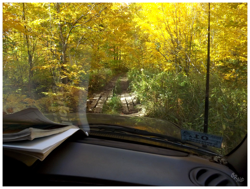
We even got to see Dodge City again, because after we took a promising-looking road to the west, then a so-so road further, then crossed some rough sections with trees scraping the truck, then eventually came to this - we finally admitted that this way wasn't going to get us to the Yellow Dog Plains.
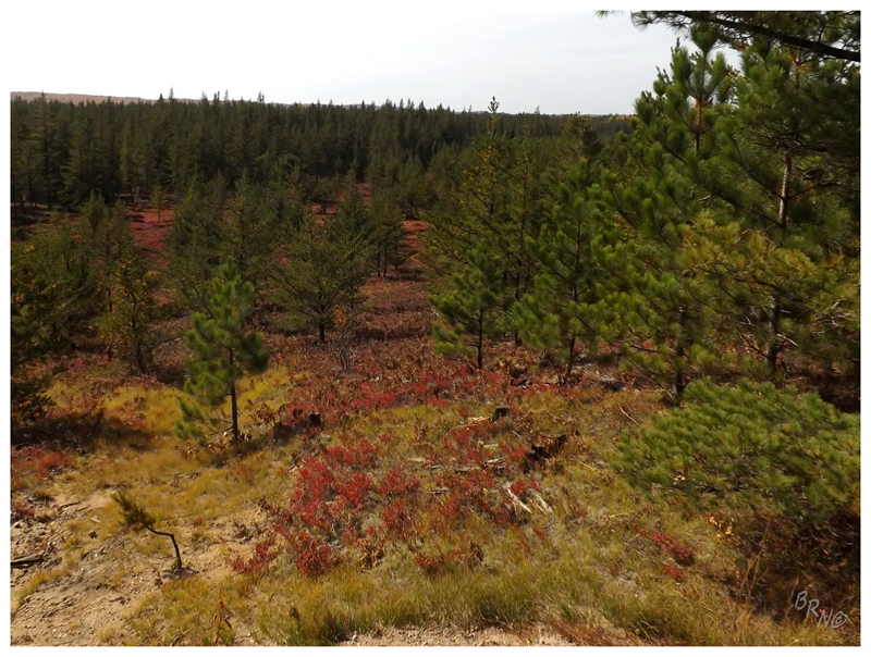

I had never heard of these Yellow Dog Plains which Nailhed was talking about, but pulling over to the side along this dusty forestry route, I was impressed with the tall pines and thin forest atop sand and gravel.
I hadn't seen land like this in Michigan before (or maybe anywhere).
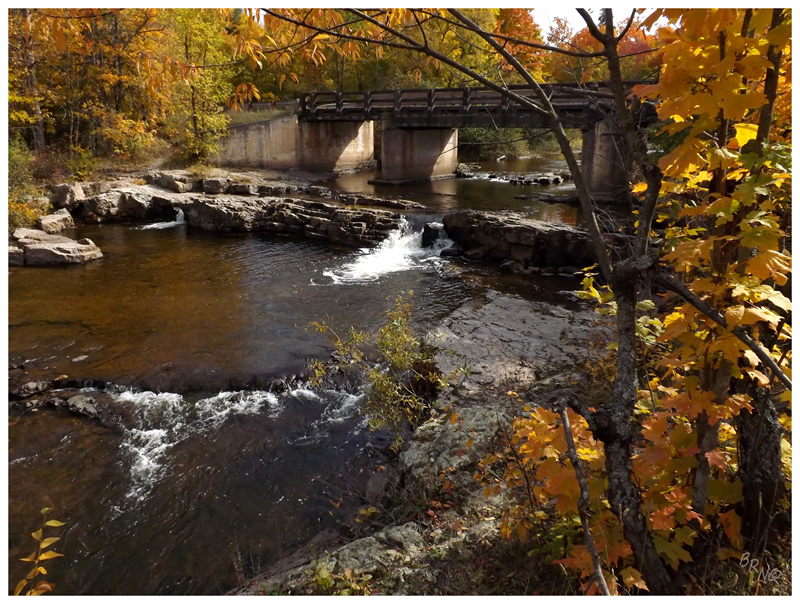
After an afternoon of nothing but sandy roads and the odd cabin, I was suddenly startled with a sizable bridge at Erick Rd (aptly named Erick's Bridge after a lumberman named Big Erick).
By reaching Erick's Bridge, we knew that we had successfully made it across the Huron Mountains. We figured there had to be a route across, but didn't know the conditions or the best route to take going into the adventure.
Now that we were here, we parked the truck and explored beneath the bridge, amongst the rapids and even tried to go north along the Huron River to more waterfalls (we were thwarted by private property).
Now the whole reason we had this backcountry adventure was because of the Huron Mountain Club - an exclusive club of 50 hunting/fishing/outdoor enthusiasts who own 20.3 mi² (52.6 km²) of Huron Mountain land up here; who like to exercise their right to prevent any use by non-members. They called in political favours against the Huron Mountains becoming a National Park long ago. They hire retired sheriffs to watch their land & catch trespassers. They're even responsible for their never being a highway built through here, as Henry Ford wanted inclusion in the exclusive club, so he worked to politically block M-35 to get in their good graces.
The M-35 was marked as impassable on road maps and was dead in the water for many years. Henry Ford was inducted into the club in 1929 and celebrated by constructing a cabin at a cost of $80 000 - $100 000 (over $1 million in 2013 dollars).
The M-35 section was officially cancelled in 1939. There's a decent highway (as shown earlier in this update) from Marquette to Big Bay and also from Skanee to L'Anse - but then a missing part in the middle.
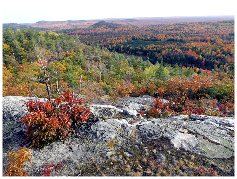
It's apparent that this club's exclusivity over such a large swath of Nailhed's beloved Upper Peninsula rubs him the wrong way. So it was no surprise that we were going to hike to Bald Mountain, one of the westernmost peaks of the Huron Mountains, one of the only peaks which the club doesn't own. One which would provide a nice view over the mysterious Huron Mountain Club to the east.
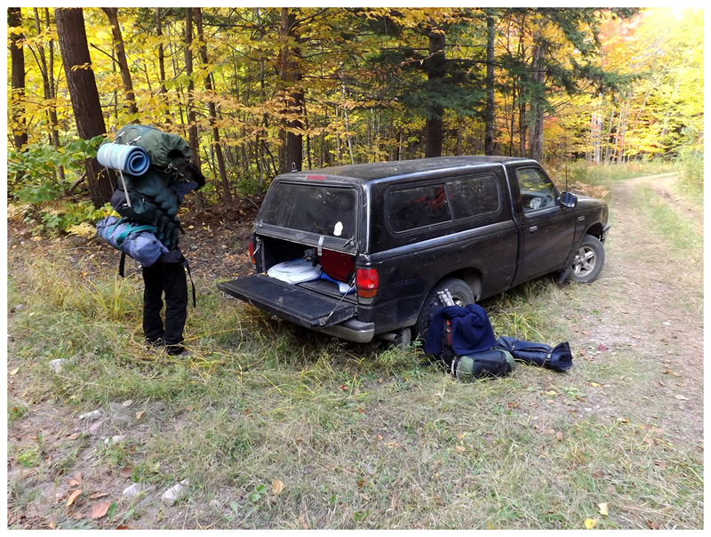
Parking the car along (finally) an unnamed forest road, we packed up our gear for a night out in the Huron Mountains. Since people seem to find my lack of gear comical, you'll notice Nailhed with the full frame backpack, while I had a measly Roots backpack with junk strapped all over the place.
(I probably should have bought Nail a beer for carrying the tent I suppose)
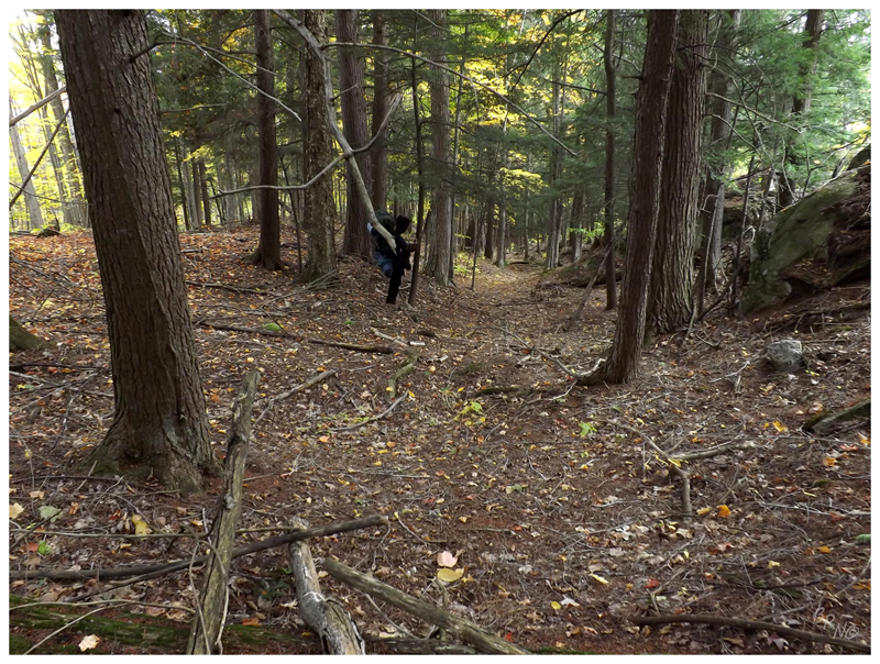
The hike couldn't have been more pleasant. Nice late afternoon weather conditions, easy-going hiking without any bushwhacking, towering trees dwarfing us younger creatures...
We were only parked a couple of kilometers from the car, but with a little runaround in the forest and a little bit of sweating from all of the gear; it was satisfying to reach the rock bluff.
There's also the whole excitement about getting out of the forest and up into a clearing. I excitedly raced up the last portion once we reached these rocks.
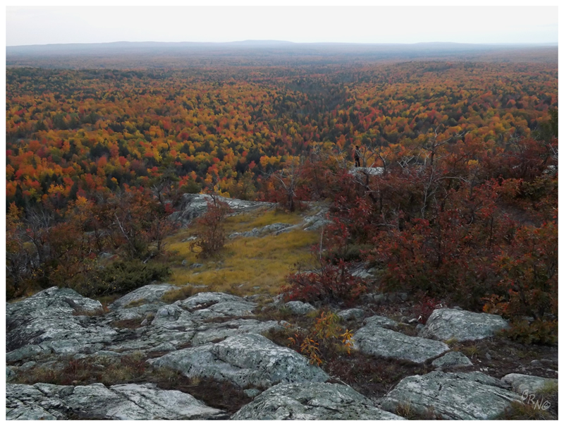
The intrepid Michigan explorer surveys his surroundings from up on high.
Nailhed is looking to the southwest here, but I'm sure it was satisfying to ogle the Huron Mountain Club when you have that possessive love for a particular locale.
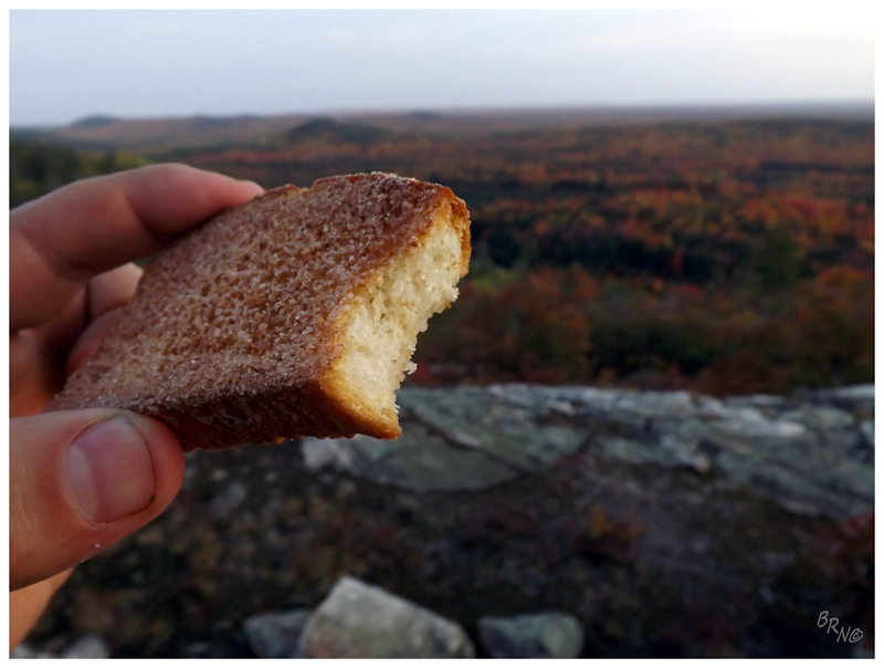
I also did one of my favourite things atop Bald Mountain in that Nailhed told me Arntz made this big deal about the Upper Peninsula's Trenary Toast - so I obviously bought a bag to scarf down and take close-up pictures for Arntz.
(Trenary Toast is baked bread, then coated in cinnamon/sugar, then baked again to make it crunchy. It was okay.)
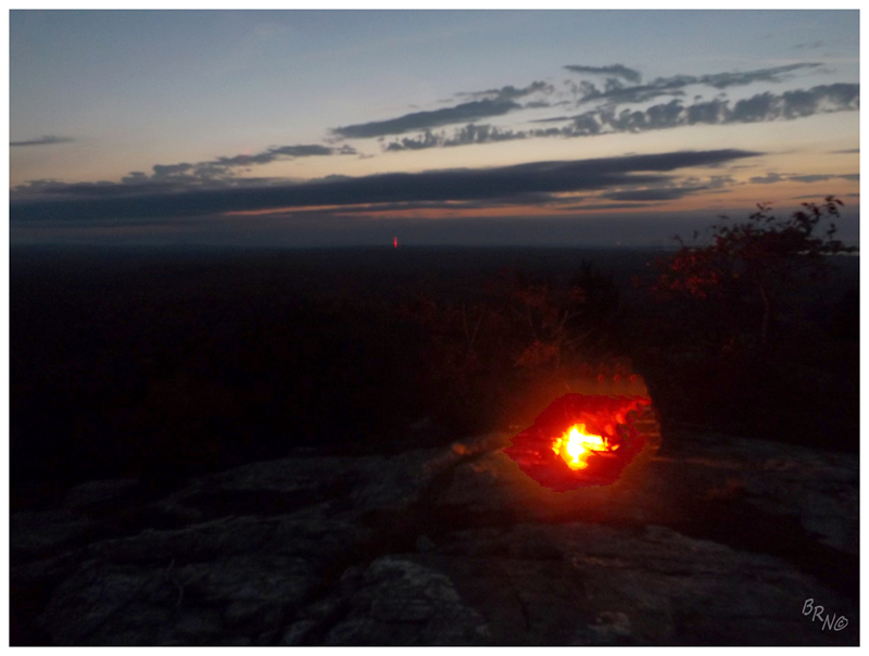
Setting the tent up sometime before sunset, we then had all the time in the world to relax atop Bald Mountain while sharing beer, whiskey & trenary toast.
Nail built a fire and coyotes hollered off in the distance. It felt very alone in this remote area, but then again, there couldn't be all that many more than 2 people per square mile up here.
Continue onwards to Part 3!