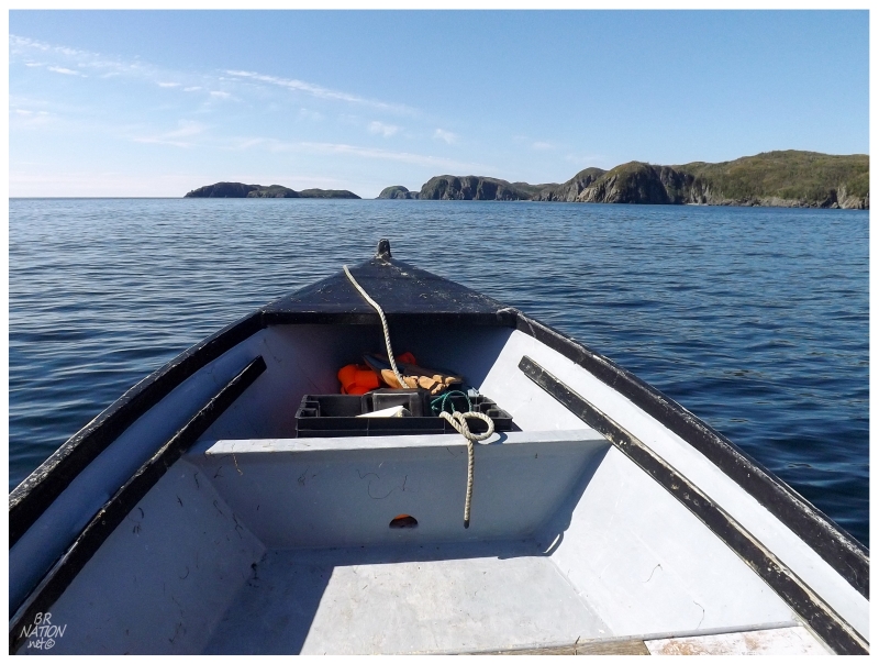
The Burin Peninsula is one of the furthest places from my Newfoundland home. If I was going to be all the way over there with extra time because of the 4-day weekend, I was going to see about taking a boat to their distant lighthouse.
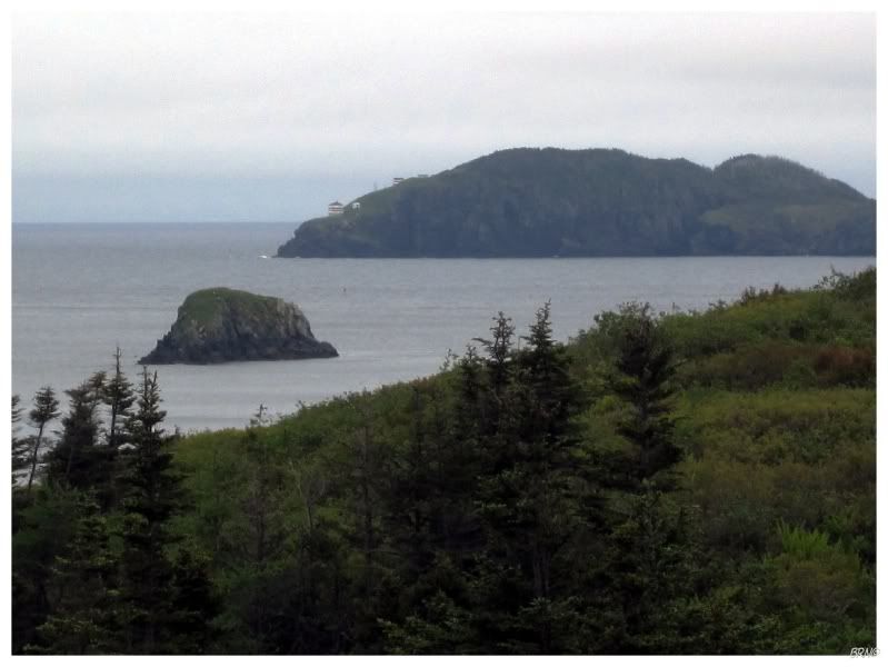
^From Summer 2011.
I had previously 'tried' to get out to this lighthouse, but it was one of those half-assed attempts where I doubt myself, don't get out of the car and don't talk to anyone. Driving around at 30kph on the curvy village roads, I eventually pulled into an old quarry to the south of Burin between Whale Cove & Collins Cove, climbing a small hill to peer out over Burin Bay.
Especially in 2011, getting out to Little Burin Island was daunting. 4.5km1 from this quarry, and still 4.1km0 even from the last house in Whale Cove, it seemed like this would be one of the last ones I would ever get in Newfoundland.
Looking at the island, the lack of inviting coves also questioned just how one would land there.
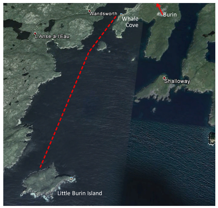
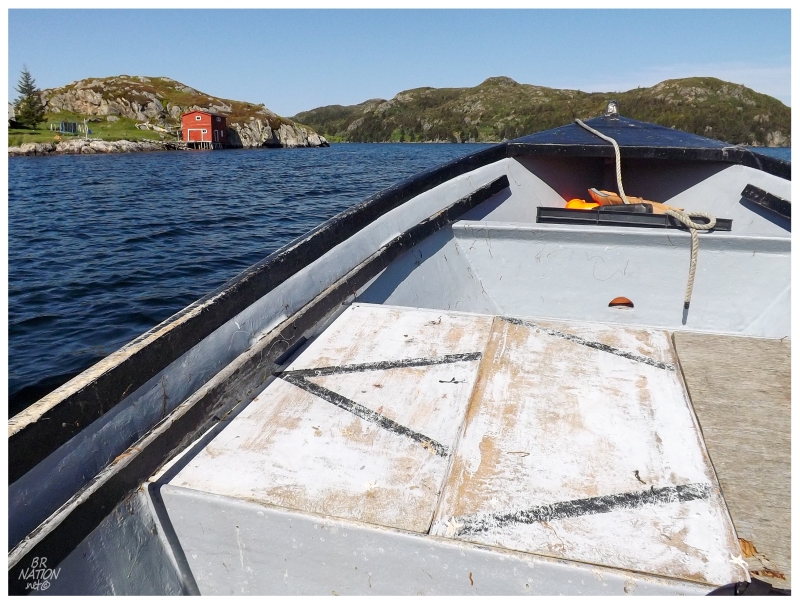
Fast forward to 2014 and I decided to phone ahead this time. After a few instances of "oh, no, call this other guy" I was starting to lose faith, before finally coming to a friendly man who said it would be no problem. It was fun to work out where we would meet, as he listed places and challenged my mediocre knowledge of Burin landmarks from 3 previous visits.
After the usual pleasantries, grabbing supplies from the stage and finding life jackets, I was into a boat and getting an oceanside view before I knew it. It was disorientating how fast we sorted out the boat ride and now suddenly had Woody Island and Shalloway Head moving past. I went from exploring the ends of roads and old quarries trying place the landmarks down here, to revealing the layout of everything quickly by the open sea.
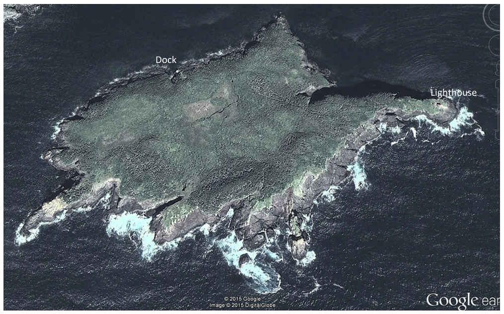
Little Burin Island
In addition to trying to see Little Burin Island from vantage points all along the Burin Peninsula, I also obviously studied it in Google Earth. I looked at the island mostly thinking about how you would land on it, as there weren't any obvious coves to the castlelike land mass.
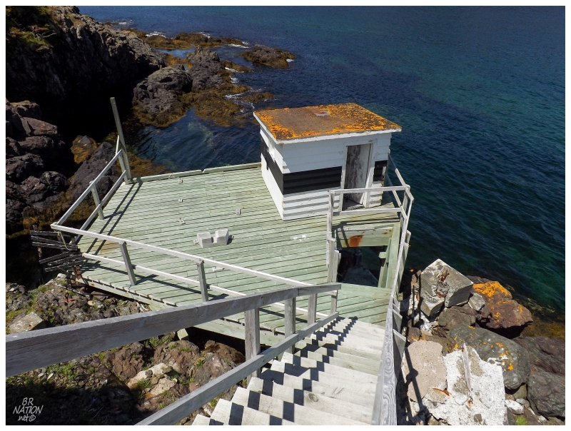
My fisherman didn't seem fazed by the request to go out to Little Burin Island though, as I quickly learned that there's a useful, maintained dock. Regardless, we were careful as we angled and moved the boat carefully next to the ladder at sea level, making sure to avoid threatening rocks nearby. This was the best solution to getting on the island, still with nerve-wracking moments while navigating to the dock - and this was on a fine, calm summer's day.
I flopped my knapsack onto my back and climbed the stairs as the warm air hit my face now that I wasn't on the water. Waving goodbye to Sam, I watched as the motorboat sped off and would come back in 3 hours.
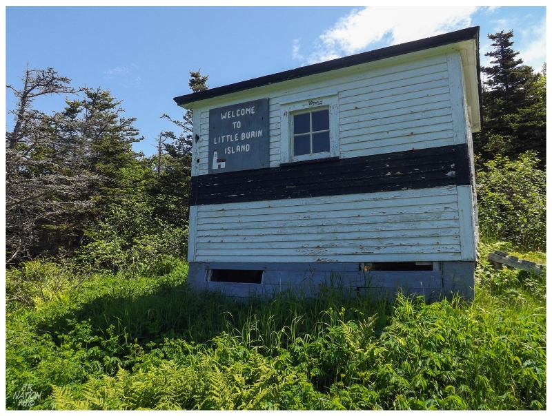
Winch House/Shed
My favourite reference book for Newfoundland - the Great Britain Hydrographic Department's Newfoundland and Labrador Pilot Marine Guide - offers very little insight into Little Burin Island, alluding to the fact that not much has ever happened here besides lightkeeping.
"Little Burin Island, at 1 1/2 miles west of Burin island, is separated from the mainland by a deep passage 1 3/4 cables wide, and is bold-to on all sides."
That's a surprisingly minimal amount of information for a guide that usually has a full paragraph for every little cove and inlet that's ever had human habitation.
Landing at the NNW side of the island, I looked at my map and noted that there was about a 0.6km (3/10mi) walk over to the lighthouse on the extreme eastern point. Little Burin Island isn't a very big island, so even if we somehow magically landed on the westernmost point, it would still only be a 0.85km (0.5mi) hike.
A winch shed was directly at the top of the stairs leading away from the dock, followed by a few indents in the stunted trees. The lack of clear land worried me, but I knew the direction I had to go & I've bushwhacked further than 0.6 km many times before, so it was time to dig in.
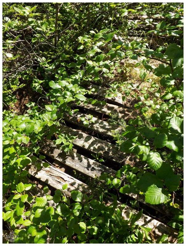
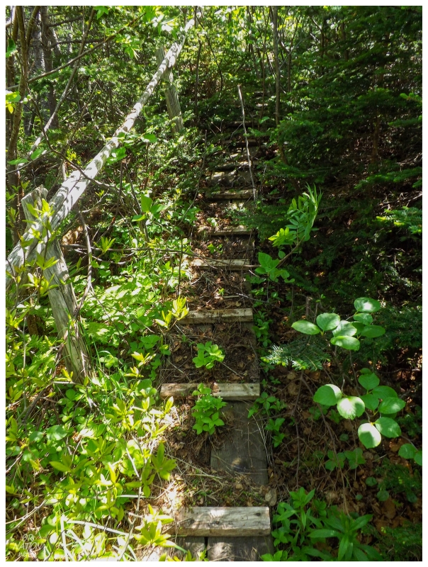
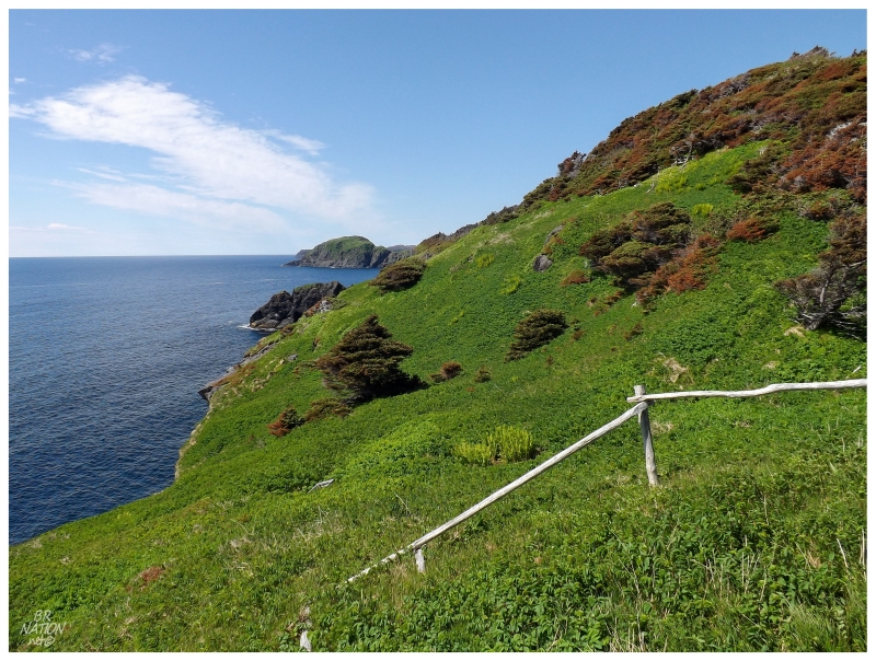
Much to my pleasant surprise, as we broke into the trees there were basic boardwalks and a few handrails leading up the forested hill. There were still places where you had to fight through trees and step from wood pallet to wood pallet, but if there were the remains of a trail here, this hike wasn't going to be bad at all.
As I haven't done much hiking on the Burin Peninsula, I didn't have any preconceived notion of what I would find on the island here. I half hoped for the treeless, barren landscape that you pass as you drive down to the Burin Peninsula, but that was a bit silly considering what I've seen of nearby Fox Cove, Burin and Beau Bois.
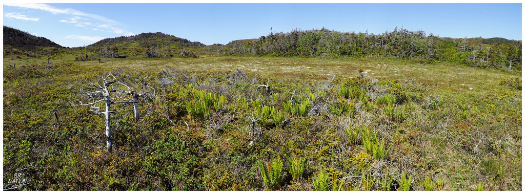
There was no way I could complain about a grueling trek though. After navigating the old boardwalks up the hill, there were a few remnants of a path which led through the mosses, shrubs and ferns of Little Burin Island's midsection. Away from the odd tangled tree trying to grab my ankle, I was quickly moving across the island and everything was going swimmingly.
I only paused briefly over the middle of the island, to look at the hills and choices around me, daydreaming about getting dropped off here to camp for the night, while hiking and documenting every square metre of this island.
I somehow lost the path as I returned to the forest on the other side of the mid-island bog, fighting my way up the hill without the help of any boardwalks. Waist-high fallen trees and slippery slopes put a slight delay in new lighthouse celebrations, but before I knew it, I noticed homemade signs in addition to more wood pallets and walking boards.
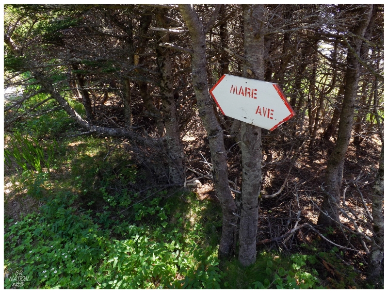
In addition to Mare Ave, there was Doyle's Hill and Bonnie's B-something (the Bonnie sign was peeling - boulevard?). I'm not sure where Doyle's or Bonnie's came from, but a fantastic new book called Facing The Sea tells me that the old keepers grew sick of walking this same path across the island. One of the keepers asked the Coast Guard if they could have an ATV, but the Coast Guard didn't want to deal with road building & the precedent of providing ATVs to lighthouse keepers. Instead, the keeper told him to put in the purchase order for an ATV, but that they would get a horse with the money instead. The keeper took this money & went into Marystown, bought a horse and then convinced someone to help him bring out the horse in a boat. This saved countless trips by loading up the horse with supplies instead of moving the gear by human hand. Unfortunately, one of the other keepers had an unruly dog which chased the horse off of the cliffs here. Then a second horse. And then a third horse simply disappeared.
After the third horse, the equine idea was abandoned. Mare Avenue remains, marking where the horses helped pull supplies up the hill.
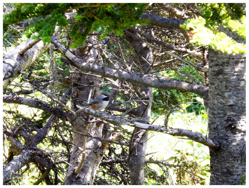
Boreal Chickadees fluttered about as the paths widened and I could sense that the lighthouse was close.
I could see the opening up ahead, but while normally you can see lighthouses early, I couldn't see much of anything yet. The forest finally ended with a handrail going down and I realized that most of the buildings existed here precariously on the bold slope, where I would need to keep going and head downhill to explore.
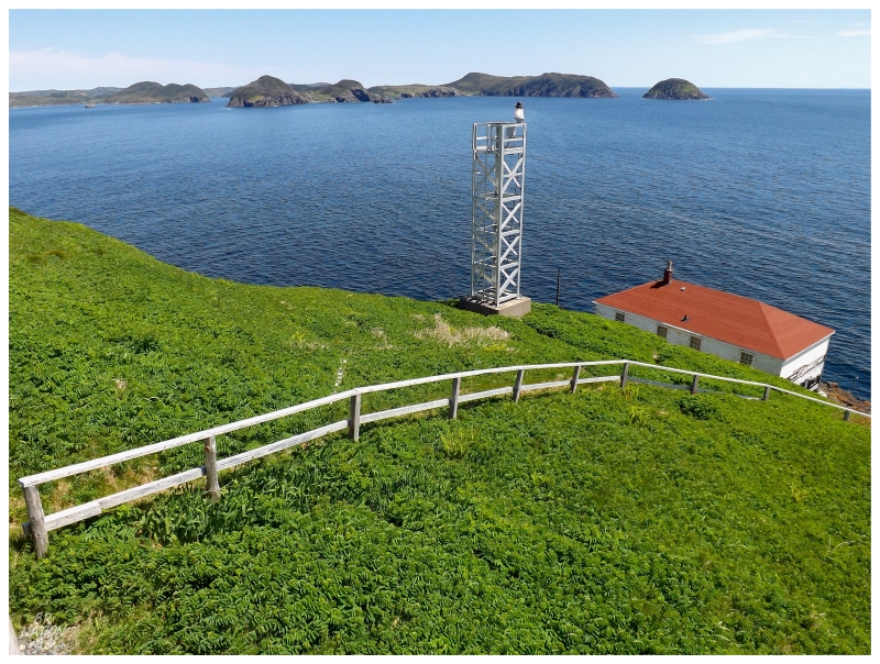
A fog horn and station was built here in 1912 with the lantern room coming 3 years later. Lighthouse Friends has a picture of this 1912 structure (look for the yellow link to "these structures") and one would assume that the whole thing was demolished when they built a more conventional Coast Guard keeper's dwelling in the mid-to-late 1950s. Regardless, the lighthouse remained in the same place - facing the sea from the front of the keeper's dwelling.
Unfortunately this lighthouse was damaged in a 1977 storm, where it was then abandoned & a replacement lighthouse structure was built higher up the hill. The current lighthouse you see in the above picture looks like many of the other 'lighthouses' that the Coast Guard erects nowadays, so one would think that the 1977 replacement 'lighthouse' must've been replaced with this lighthouse in more recent years?
Pictures that show the abandoned lighthouse don't show this modern steel skeleton tower. Unfortunately, these pictures don't come with a specific date.
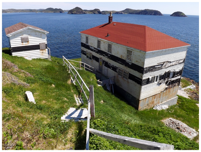
I continued down the path, a mix of grass pathways and installed stairs where the slope was too great. The old, weathered handrail was broken in places, so I carefully picked my way along, while wondering about the steps beneath me as well.
I couldn't help but move a little faster though. Somehow I still couldn't see the lighthouse in front of the house and I was excited to get to the reward for all of this boating and hiking. I only got one new lighthouse last year & with all of the new ones left on islands here, I was excited that I would see 2 new Newfoundland lighthouses in 2014.
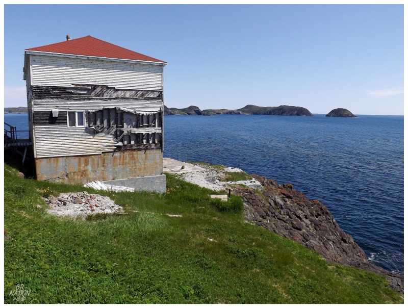
Of course this had to be the biggest keeper's dwelling I had ever seen. It dwarfed tiny St. Jacques Island and only in comparing it to the sizable keeper's house in Francois, did I realize that this might be the first ever Canadian Coast Guard, 3-story dwelling I've come across. I thought they were all similar cookie-cut structures, but the lack of flat land meant a more specific design here on Little Burin Island.
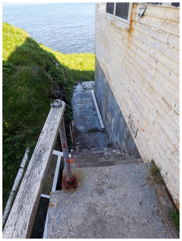
Near the structure, the wooden stairs of the hill turned to permanent concrete steps. Wood connected the concrete portions and seemed to only be a few years away from collapsing. Making my way through here today seemed easier than it would be in a few short years.
Coming to the side of the building and plywood over every window & door, I thought about how the Coast Guard must've been here recently sealing up the building, I thought about what brought them out here and I thought about how it was odd that I couldn't catch one glimpse of the lighthouse even high up on the hill. I thought about how there wasn't much of a shadow or windbreak ahead of me as well.
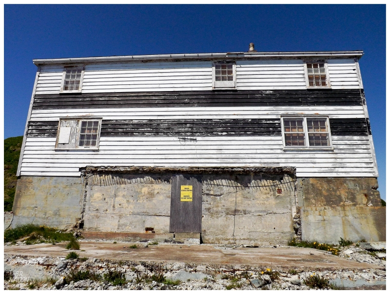
And then all of those things suddenly made sense . The zone where the lighthouse once stood & where I saw it in those pictures was now nothing but a flat slab of concrete with a few pieces of glass and metal strewn about.
I love how I can come to these places and feel like I'm the only one documenting them sometimes, because next to nothing exists for online coverage. Well, that lack of coverage bit me in the ass here, that's for sure.
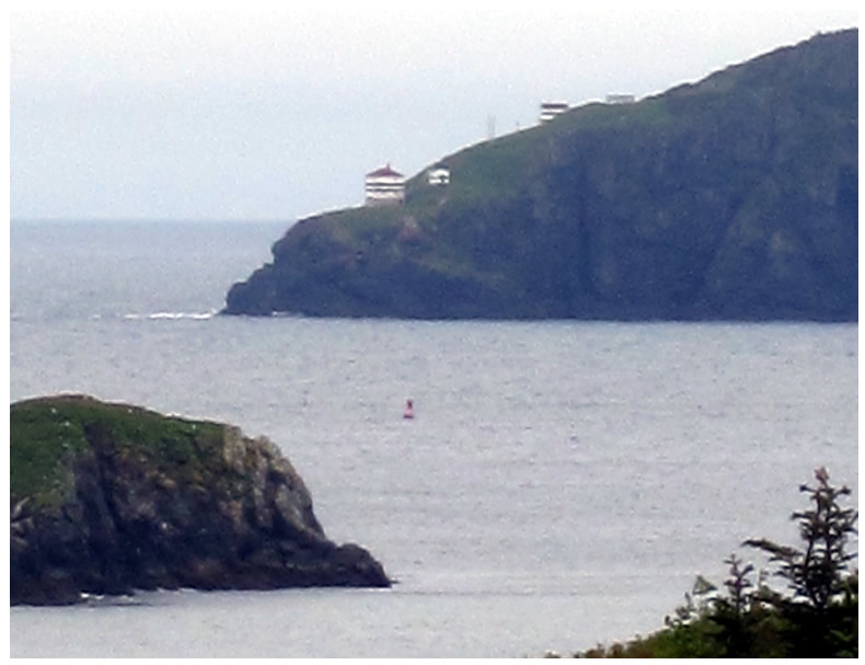
I couldn't believe it. Why didn't I zoom in and study that 2011 picture!
And where normally the harbour authority would save me the trouble by knowing about a demolished lighthouse, that failed me here because I was going out to see an abandoned lighthouse. The front of the structure being demolished likely wasn't noteworthy, only that a portion of the dilapidated headland building was suddenly gone (if this was even noticed at all).
This obviously led to thoughts of whether the effort to come out here was worth it. On one hand, I'd go to every island in Placentia Bay if I could, since I love islands, poorly documented places and exploration so much. On the other hand, I don't get that many lighthouses per year & they're changing/decaying by the year. Thankfully the remainder of the lighthouses I have left are either modern towers that shouldn't be replaced, have historic protection, are still in use or sit in such a ruinous state that it would be pointless to go "pick up the ruins". I have to hope that this won't happen again for any of the 19 lighthouses I have left.
Regardless of all that, the biggest lesson here was that I really should have zoomed into the above 2011 picture & seen that the lighthouse was already gone. Little Burin Island & the Burin Inlet are very beautiful and I cherish this trip, but regardless, I should have known the lighthouse was gone at least 4 years ago.
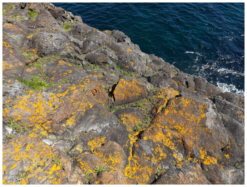
Little Burin Island Lighthouse was abandoned in the first place because of a storm in 1977. The same storm came up and damaged the oil house with waves, and the oil house would only be about 8 feet lower than the lighthouse itself.
Knowing this fact, it was daunting to climb down on the rocks and imagine that 1977 storm on this beautiful day. It was still a long way to the sea even after climbing on the rocks 10 feet down.
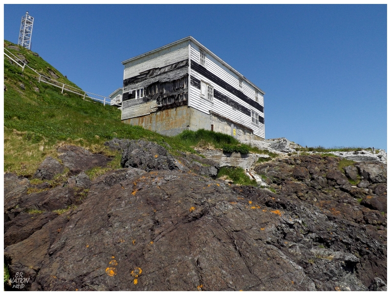
The resident lightkeepers left Little Burin Island in 2003 and it took until late 2014 for their old home to be demolished. Citing that the Coast Guard doesn't want people going inside and falling through floors, the contract was put out & the keeper's house was demolished sometime in late November or early December.
So at least I had that. Even though I didn't get inside the keepers' house, its size and location added a lot to lazing about at this lighthouse point. It was still a cool structure and it still felt like I was one of very few people to sit here and take this all in.
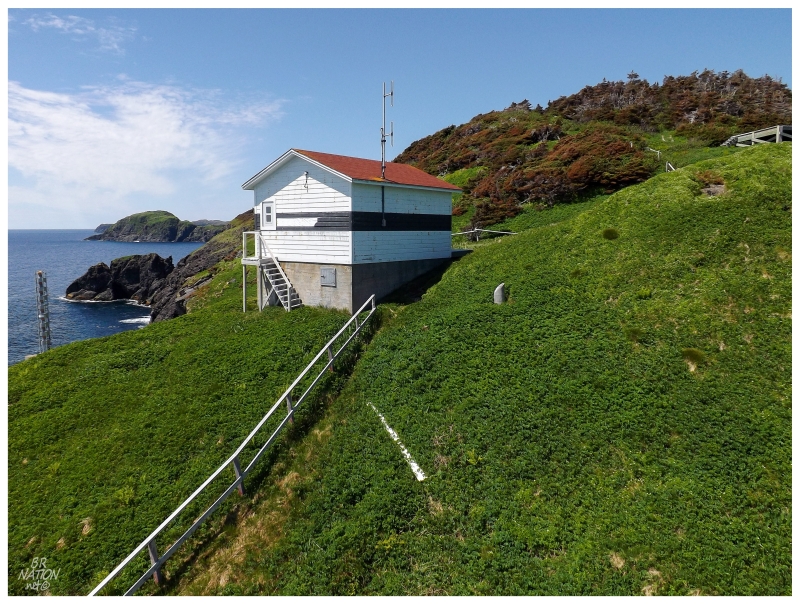
We made our way back across the island, laughing at how quick it was now that we knew the way & there wasn't any worry about making it to the lighthouse. It was additionally nice that the walk was so quick because I got to look around the winch shed back on that side.
The Coast Guard also had the winch shed demolished in late 2014.
Our boat would come after 30 minutes or so. We were hardly outside of Little Burin Island's breakwater when I mentioned the missing lighthouse & Sam didn't believe us as he insisted that the abandoned lighthouse was still there. (I'm not saying he should have noticed as most people don't pay attention to lighthouses like I do. I only find it interesting that he didn't happen to notice the missing front sometime during the past couple of years.)
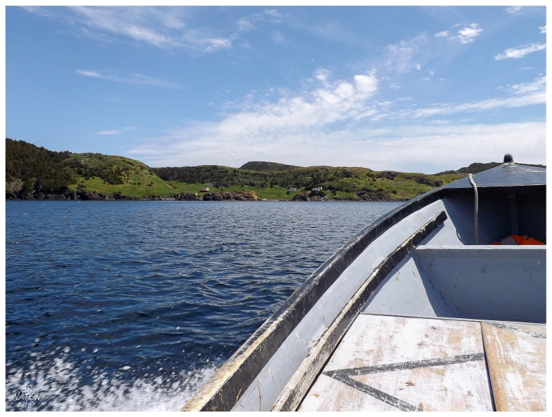
It was crystal clear how proud Sam was of the area & in the history he presented. I obviously ate this all up, like the tidbit of how a large cable used to run from near Corbin across to Little Burin Island, providing power for a time before solar panels.
In addition, as we were headed back & it was such a nice day, Sam asked if we'd like to see the old community of Great Burin. It didn't matter that I hadn't ever heard of Great Burin before, if there was an opportunity to go see an old community along this coast, I was 100% in.
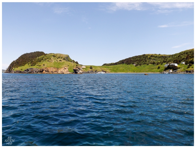
Great Burin, 2015
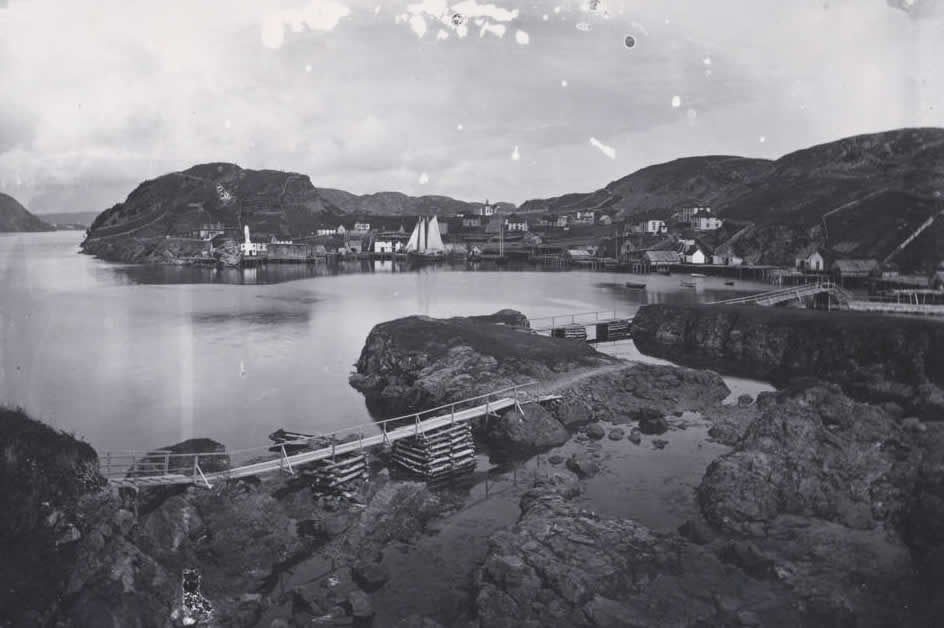
Great Burin, circa 1900.
Robert Edwards Holloway photo. Courtesy of Memorial University of Newfoundland - Digital Archives Initiative
The funny thing was that I had heard of Shalloway. What I'd learn later is that Shalloway was a small place of about 70 people and Great Burin had about 230. In the above picture, the photographer would have been standing in Shalloway to take a picture of Great Burin. This all looked like one big community to me before, but the bridges in the foreground would have separated the two places.
Like so many other places in Newfoundland, Great Burin (and Shalloway) were abandoned by resettlement. With the major "growth centre" of Burin being just over 2km away by sea, residents of Great Burin were encouraged to leave this place and move to the main island of Newfoundland.
I couldn't find much else about Great Burin, which I initially found surprising given its size in the above picture. Now that I've looked around, it looks like it never received much specific focus because it was always considered a part of the 10 villages that make up the town of Burin.
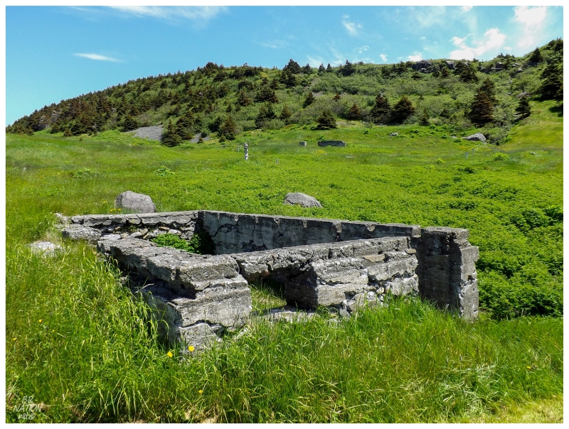
Pulling up to the dock at Great Burin, after what I initially thought was going to only be a brief cruise by, the visit suddenly turned into a chance to get out of the boat and place my feet on another island off of Newfoundland.
Told to take a quick look around, I darted away from the boat and up the cut-grass pathway. One of the foundations I passed came from a store at the corner of town, and where it's unlikely that individual homes had foundations, you'd have to think this foundation could have belonged to a second store.
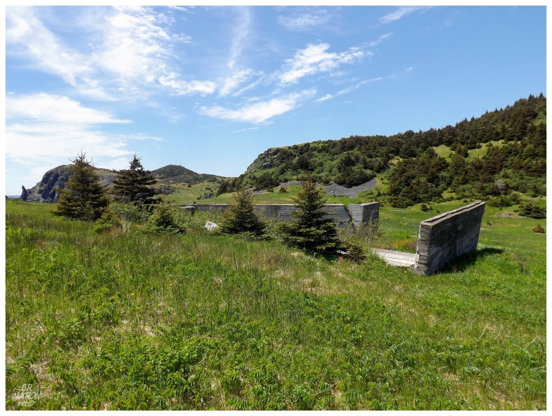
I started to wonder how big Great Burin once was, after I came across the church foundation you see above. My picture might not convey its size that well, but those trees are about 8-10 feet high. The foundation was big enough that if I stepped through the doorway, I couldn't see over the walls or even jump up and touch the tops.
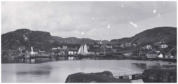
Looking back at that Great Burin picture from 1900, you can see the church as the highest building in the town, just about at the centre of this crop.
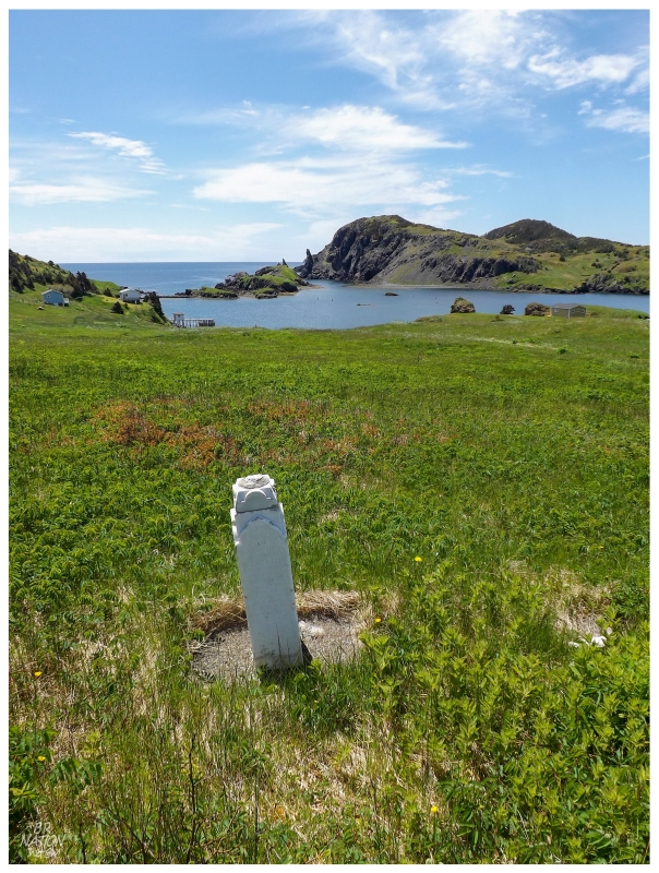
Headstones littered the field to the church's east, reaffirming my thoughts that I might be in a bigger place than 4-family Duricle. I raced about looking at the ones which were easy to reach, looking for one with the sharp rocks of Shalloway in the background.
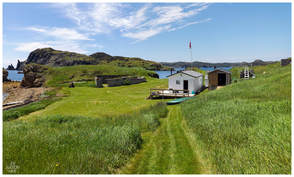
There were about 5 people out and about at Great Burin, the land having now transitioned into being a cabin community. I don't know how you can blame them either, with the overwhelming scenery and history.
The dock would have been just to the left of the above picture, where I raced up the path and felt envy for the man cutting the grass around store ruins by his cabin.
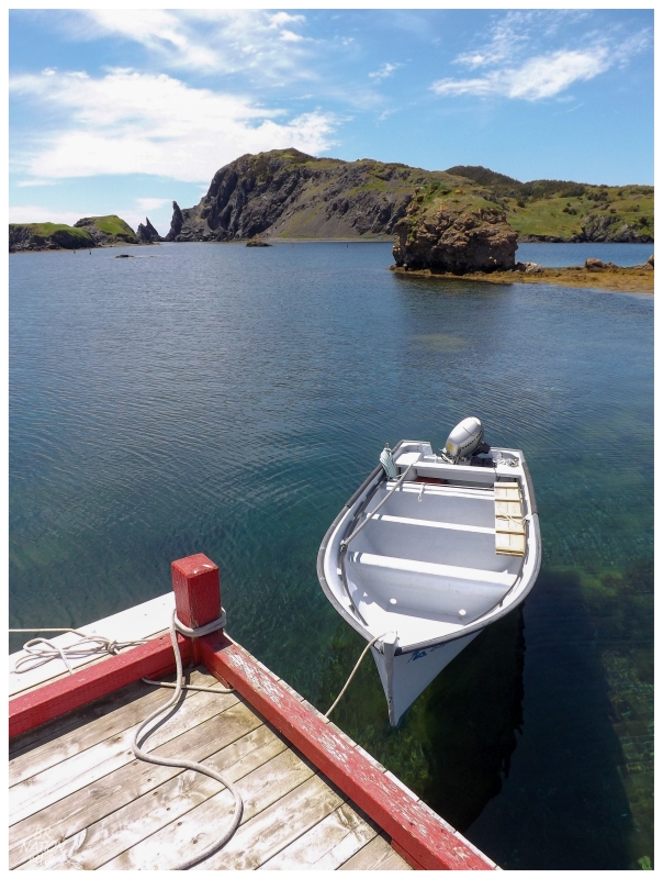
After spending about 10 minutes on Great Burin Island, I now have thoughts of calling Sam up on future Burin Peninsula trips to see if he'll drop me off there with my tent. There's no abandoned buildings, but there's additional foundation ruins, the opportunity to walk strange bridges to Shalloway, hills to climb in the evening and the foundation from one of the province's most important early lighthouses at Dodding Head (this was way up the hill, it would have taken me more than an hour to get up there2).
Even in only 10 minutes of exploration, how could I question if all of this was worth it now? I may not have seen a lighthouse at Little Burin Island, but the adventure there & the history lesson here were making for quite the Saturday.
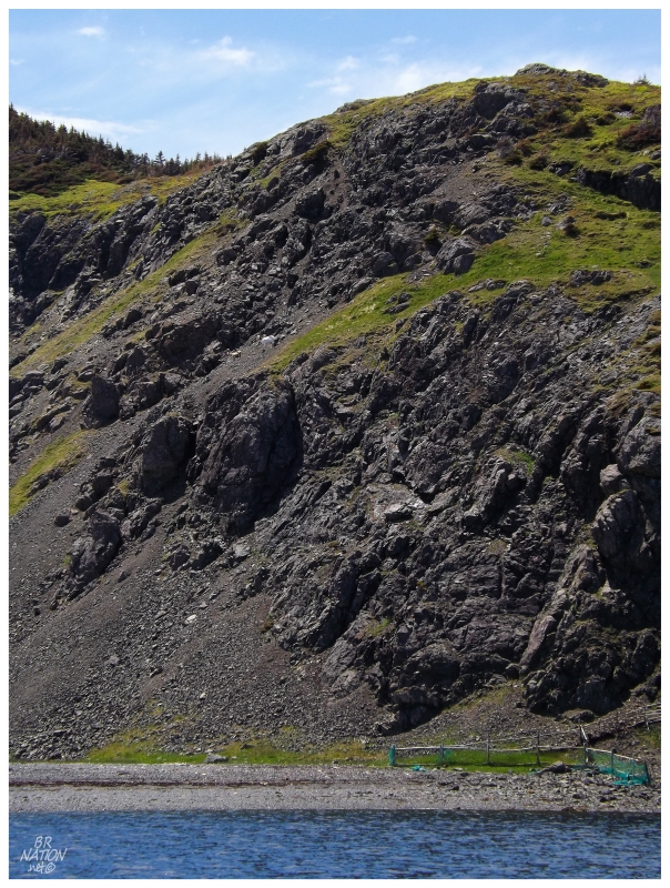
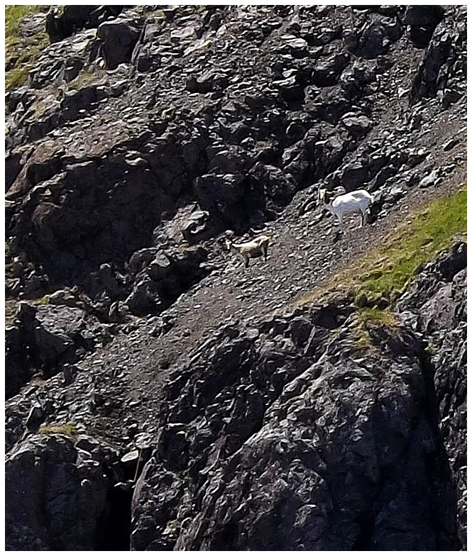
As we were pulling out of Great Burin Harbour, Sam pointed at the hill across in Shalloway, telling us to check out the goats. It took a second to spot them on the giant hill, but sure enough, those sure-footed guys were up there!
Arriving back in Whale Cove, I expressed my appreciation and was told to be in contact if I ever need any other boat rides (which, oh jeez, is the wrong thing to tell my history-nerd, wanderlust-ridden mind).
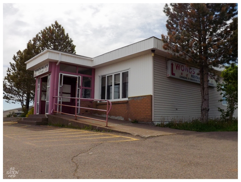
Lunch would be back in Marystown, celebrating "checking off Little Burin Lighthouse" by having Marystown's Wong's Palace for the first time. The interior was incredibly large & elaborate, leading to wondering how much the people of Marystown love Chinese food.
Grabbing an afternoon coffee, it was time to head north towards Part 3 of this weekend...
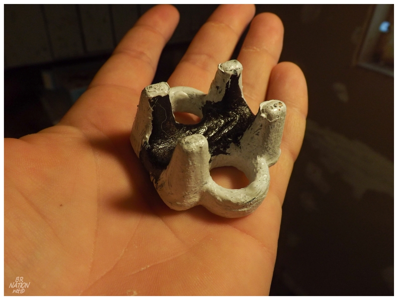
Afterword: Amongst the foundation and shattered glass where the lighthouse used to stand, I found a metal piece from one of the heavy old windows. Taking it home, I painted it in the same white with black band pattern that has always existed on Little Burin Island.
I'm not the biggest looter, but it makes me happy to have this on my desk now. (Although my crummy painting skills annoy me at the same time.)