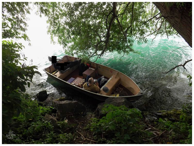
I found myself at home for unfortunate reasons, but one good thing was that this was going to give me an opportunity to get out on the Detroit River. For a year or two now, my friend Nailhed has had a boat & tempted me to visit home during the summer. Now where I usually try to save my visits home to skip awful Newfoundland winter days, there never came a point where I was home and he could also take out his boat. |
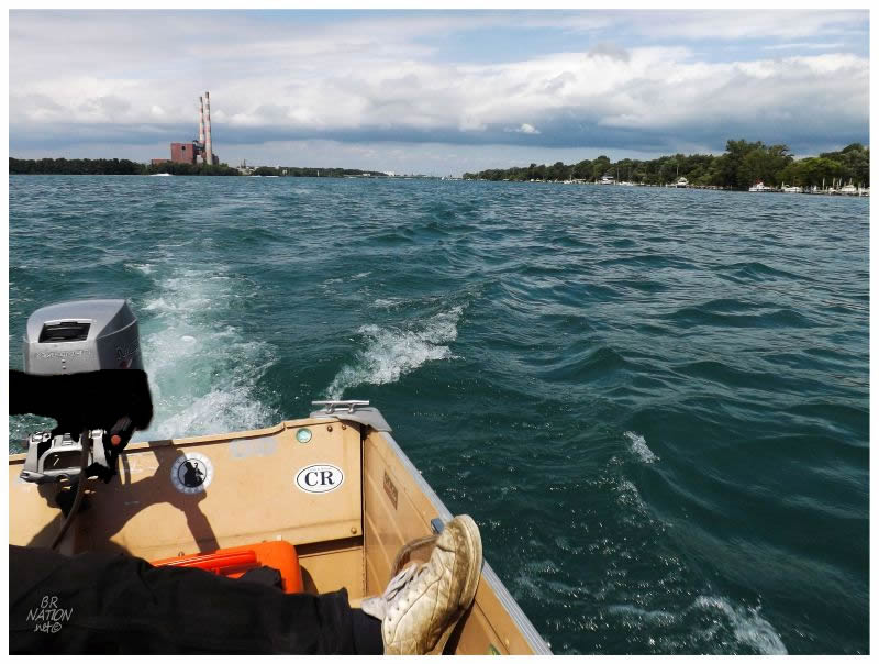
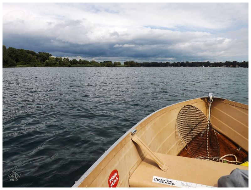
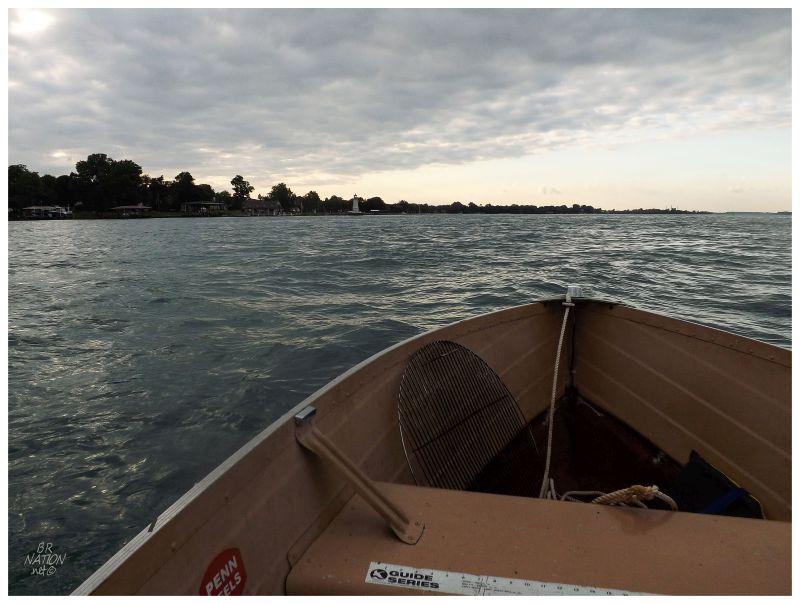
But then there was this weekend in August, home for a total of 4 days and with about 1.5 of them open to plans. As luck would have it, there would be a summer's day without forecasted storms or high winds challenging his modest boat. Setting off from Trenton, we first headed south past the smokestacks of the Trenton Channel Power Plant. |
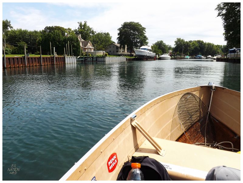
Even though this is only about 30 minutes south of Detroit, I'd only been to this area when we mistook some other mill for McLouth & one other time to ride the Wyandotte skatepark. That's two times in my entire life for an area that isn't all that far away. In addition, there's a lighthouse on nearby Grosse Ile and now that I have nothing but time to look at maps and Google StreetView, I've obviously thought about driving down here more than I did when I used to live in Ontario. My introduction to Grosse Ile today would come with heading south and pulling into the artificial canal between Swan Island and the main island of Grosse Ile. As Grosse Ile is home to a lot of money and extravagancies, I enjoyed lazily putting along past the boats and boathouses, sneaking backyard glances at how the other half lives. |
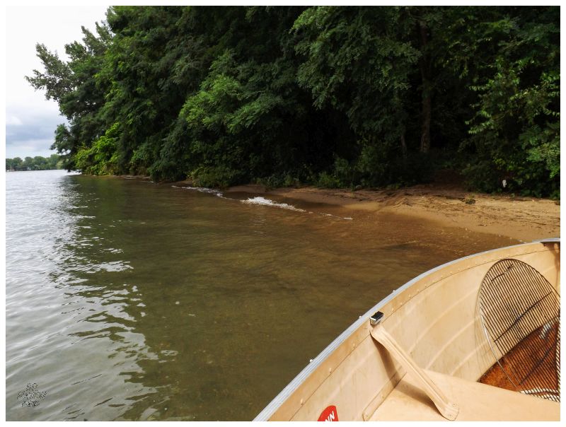
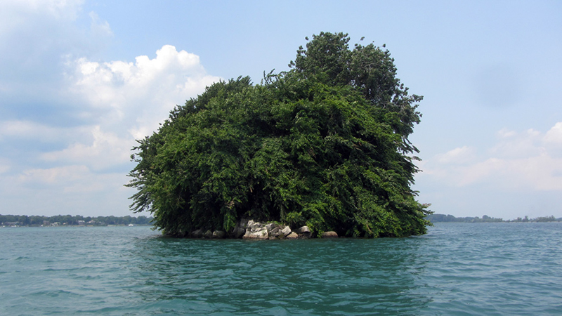
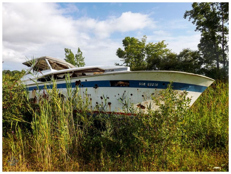
Exiting the canals of Grosse Ile near the bottom of that island cluster, we were now nearing the area where Lake Erie takes in what the Detroit River can send her. The river here opened up and waves grew more intense than back in Trenton. Our first target of the day down here was Celeron Island, an uninhabited island that once had some homes and residents, but is now only home to the Great Egret we scared off and a guy on a jet-ski claiming the main sandy beach. Leaving the jet-ski dude to the eastern beach, we hooked around the tip of Celeron Island and edged into the sandy shore facing Gibraltar Michigan. |
How sweet was this? A gorgeous day and the entirety of it to spend stopping at whatever island, simply because said island was shown on some map. The geography nerd in me was geeking out. |
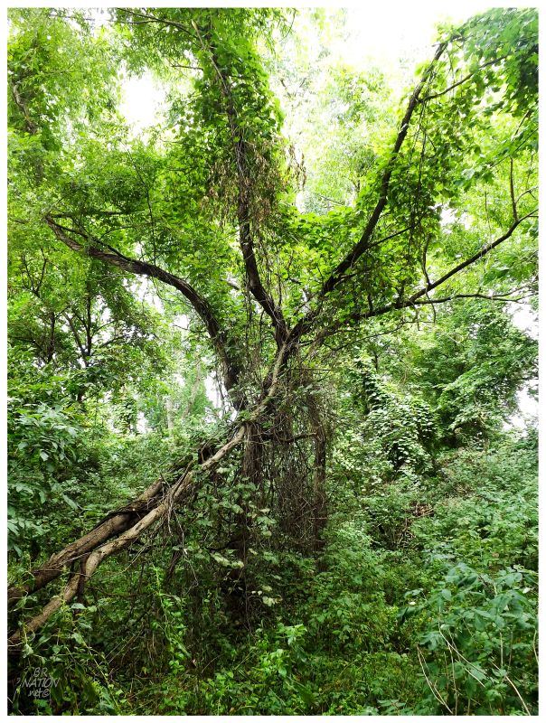
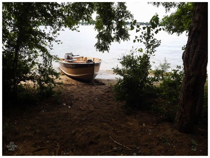
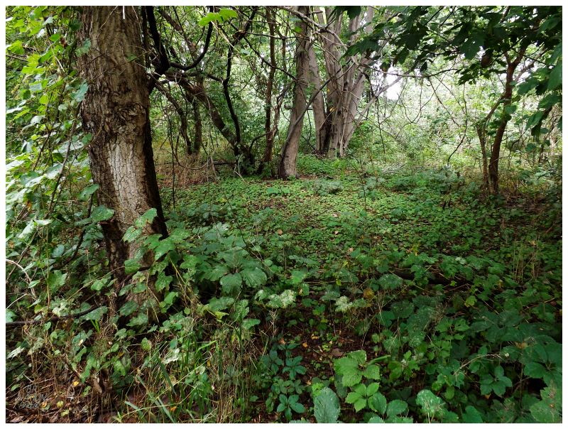
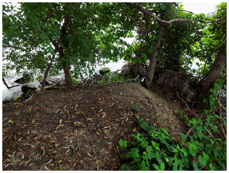
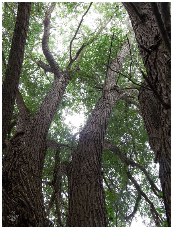
Thoughts of camping out here crossed my mind, but Nailhed said that technically you're not supposed to stay overnight on any of these islands. Rushing back and forth upon Celeron's northern island, checking about half of the land body, I was finally stopped when I reached a thicker, marshier portion to the south. There were some grass trampling and simple footpaths here, which was interesting to think of others who had also docked here and went for a look around. Away from the marshy areas, these Southeastern MI/Southwestern ON forests do lend themselves to easy exploration. |
Back in the boat I was looking around as I heard, "okay, so off to the Detroit River Lighthouse?" "Um, wah, uh, how far is..." "I'm, I'm just kidding. I'm not going out there in this." Here Nailhed had decided to briefly get my hopes up of going to the sparkplug Detroit River Lighthouse out in Lake Erie, but going 8km/5mi south of here you would be navigating a lake instead of a river. This wasn't the appropriate vessel for such an endeavour, that smartass. |
^Nailhed's fine picture of Powder House Island
We went north instead, keeping east of Grosse Ile & into the main Detroit River channel. The Boblo Sky Tower peaked above forest to the east. There were thoughts of stopping at Fox Island, but on such a fine day there had to be about 15 boats there and people using every inch of the small shore. Moving along & knowing that I wanted to explore obscure & tiny islands, we motored towards Powder House Island, an 80m long rectangular slab of land that has about the same footprint as your average Holiday Inn building (not including the parking lot). Powder House is the 2nd smallest island in the Detroit River and one might argue the legitimacy of Mamajuda Island as the smallest, since Mamajuda Island is almost entirely eroded away, save for a few rocks that are visible at times of low water levels. |
Powder House Island wasn't as easy to land on as Celeron Island because of how it is entirely surrounded by rocky shore or overhanging vegetation. Nailhed having already been on the island and Donnie not having the same desires towards tiny and empty islands, I was left to scramble onto the rocks alone while Nailhed pulled as close as possible. |
Powder House Island used to be known as Dynamite Island because this is where the nearby Dunbar & Sullivan Dredging Co stored their dynamite. In fact, the Dunbar & Sullivan Dredging Co is responsible for this island entirely, because they used to store their dynamite on a barge atop this shoal, until they sunk/grounded the barge here and covered the boat with dirt from dredging operations. This entire explanation and history lesson comes from Nailhed's excellent coverage of Powder House Island, where he then went home & read old court documents and books for miniscule tidbits and historic hints. |
About the only structure on the island was this old duck blind. There were some simple shacks here back in the dynamite storage days, but they're long gone. |
Feeling pressure to get back to the boat, but conflicted with the realization that I'll probably never be out on Powder House Island ever again, I hurried around snapping pictures and checking out every break in the trees. The vegetation grew much thicker at the middle of the island, hindering any advancements towards the south coast or anything that could be left behind down there. |
One of the things I love most in life is exploring obscure geographic features, so I was pretty happy with my exploration of Powder House Island and these five passable pictures - that is until now that I see Nailhed included 18 pictures and took the time to look at the ground and find handmade nails & coal! That's some impressive thoroughness. I am not the king of Powder House Island. |
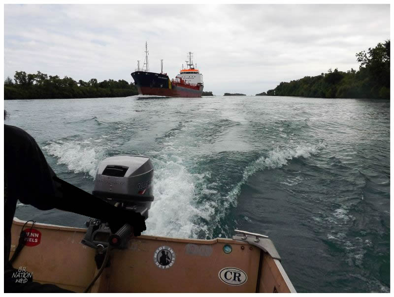
After Powder House Island, I would get my introduction to the Livingstone Channel and boating alongside gigantic Great Lakes freighters. This is the main shipping channel for downstream vessels - although we saw two vessels heading upstream - and this is also the narrowest water boundary between Michigan & Ontario (only 450 feet wide). Crystal Island (Canada) would be on the left in the above picture, while Stony Island (America) would be on the right. |
Nailhed was more concerned with the recreational boaters who love flying through this straight channel, but it was still harrowing to be in his boat & see the giant wave of displaced water from the freighter heading towards us. Some jerkoff eventually also raced by and did a semi-circle around us in his giant speedboat, which made me realize why it was so much more of a concern than the predictable freighters. Our boat rocked with the sharp waves from the speedboat, each time the metal edge getting awfully close to the surface of the water. Hopefully said idiot impressed his wife by putting 3 lives in danger. |
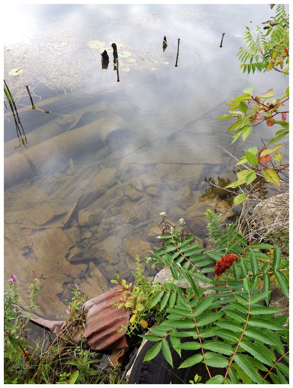
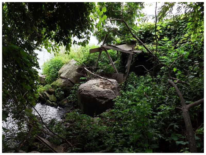
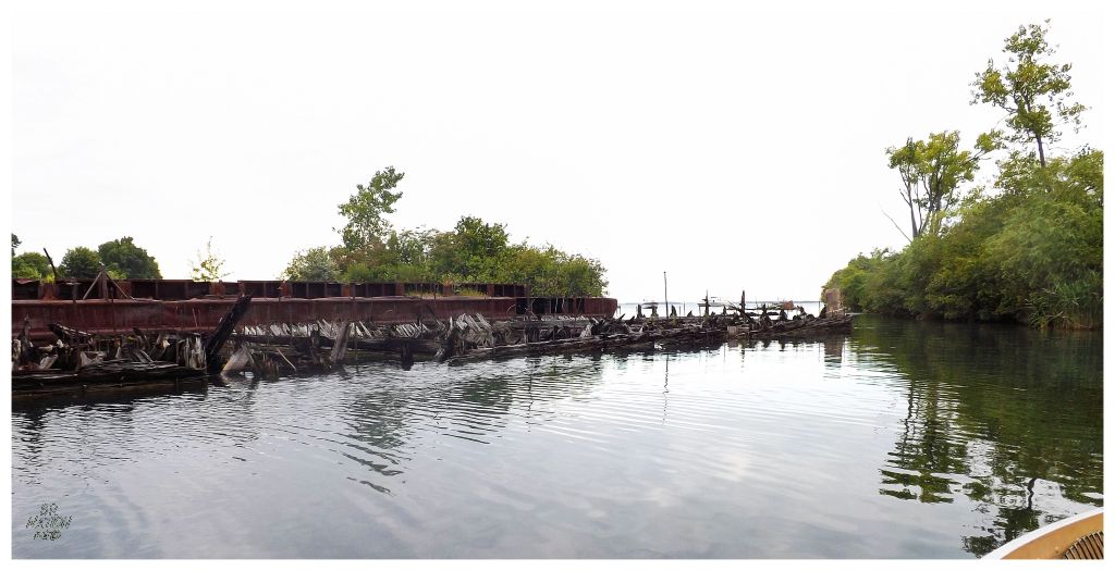
The Livingstone Channel would bring us to our main goal of the day - Stony Island. The Dunbar & Sullivan Dredging Co of Powder House Island dynamite storage fame, based their operations upon and owned Stony Island. In this back lagoon of the island by their machine shop or offices, they also left behind about 20 barges and other vessels. |
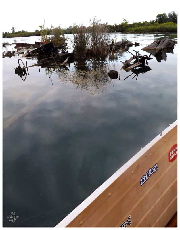
We crawled about the backwaters here, with old ship pieces flanking the boat after every slight movement. I was impressed with Nailhed's navigation and boat control, even more so with the thought of when he first approached this island of wreckage and pushed his boat right in. The shallow depth and short motor of the SS Jane was coming in handy. |
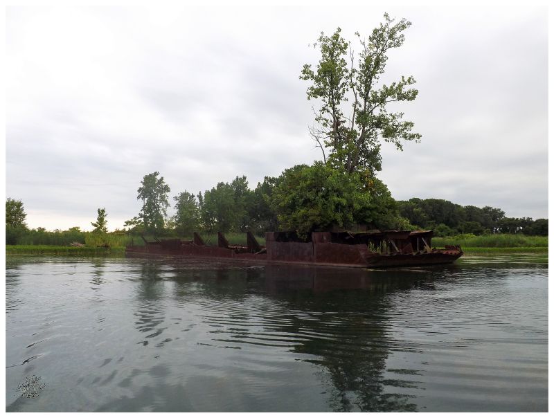
The number of boats and amount of wreckage here was truly remarkable. Everywhere we looked or motored towards, there was yet another barge running out the remainder of days. I couldn't believe that this was somehow left to rot here and I was happy to see it before complaints could result in a future cleanup. |
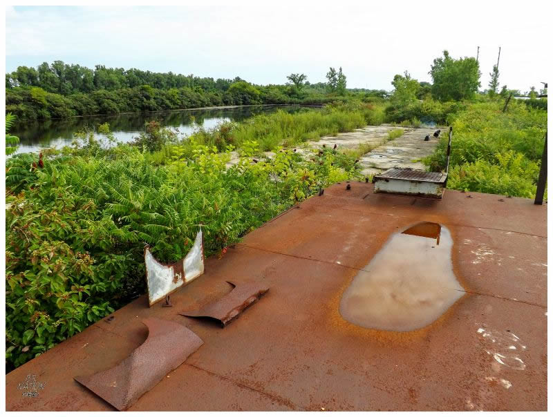
The lagoons aren't that big and once you get a few pictures of underwater wreckage, it quickly becomes time to dock beside the cement pad to partake in some barbecue. After ferrying us all over the southern Detroit River islands this afternoon, you can see that Nail is now hard at work preparing lunch. |
The last picture comes from the roof of the only Dunbar & Sullivan building left out here. Nailhed had climbed into a tiny hole about 5 feet off the ground to know that the inside was empty and boring, so instead Donnie & I roofed it by climbing the convenient staircase, while talking about bringing a bike out here to grind the handrail and create quite the mysterious clip (full disclosure: the rail is steep and crazy, don't bring your bike out here). |
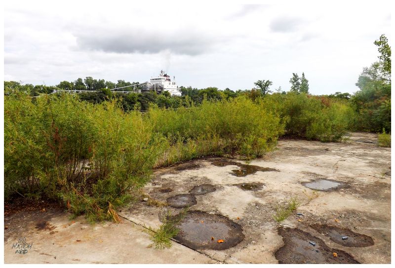
One of the neatest things about Stony Island was that you'd be walking around looking at old cables or shotgun shells, then have your attention caught by this giant gliding freighter over the tree line. The Livingstone Channel is just right there, but you would go back and forth with forgetting you're anywhere near civilization, to having a major shipping interest with captains and deck hands floating on by. |
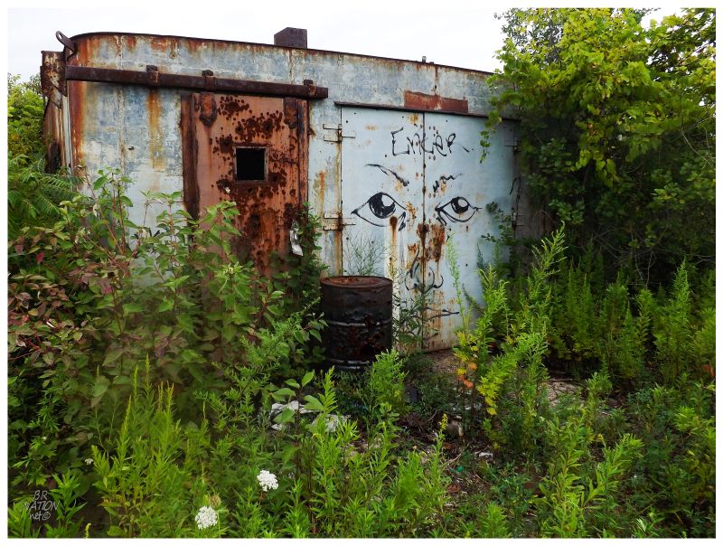
There was still some time before the food would be ready, so Donnie & I wandered off into the bush towards this discarded party vessel. |
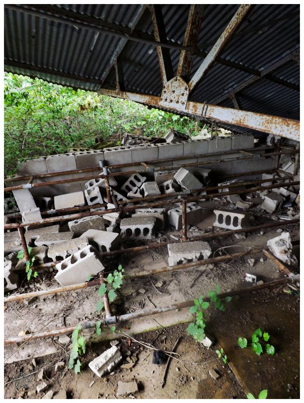
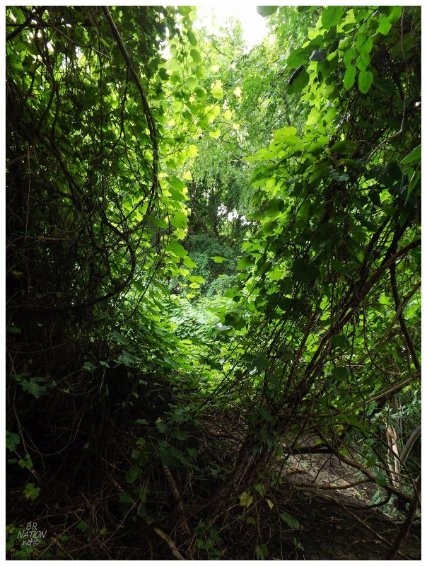
As Donnie wanted to take some film pictures with his tripod of the dumped boat, I was left to my own & wandered into a small structure by the shore. The front of this building was entirely missing, where I could sit on some of the cinderblocks and look out over the backside cove. Everything was calm without flies, wind or direct sun. I could have sat there and eventually laid there for hours. It was getting into the afternoon though, so Donnie & I continued down a pathway into the woods to the south of the shipwreck lagoon. This pathway and the hydro poles would follow where there used to a train line from Grosse Ile onto Stony Island, where train cars would then be put on a ferry to go to the area of General Chemical in Amherstburg. A train car bridge-ferry is an interesting bit of history, but you probably haven't heard about this because the year was 1880 and the bridge was demolished in the 1920s. |
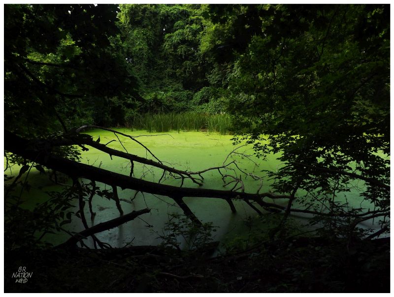
Some of the more recent history is that there was a village here starting in 1907 for workers who came to increase the depth and width of the Livingstone Channel. From 1907-1912 the channel was increased from 13 ft to 22 ft in depth, while the width was increased from 300 ft to anywhere between 450 ft and 800 ft. The village that was built on Stony Island for these workers is shown in an old Detroit Publishing Company photo, a surprisingly impressive village with streets, arranged houses and a school. Nail had previously found the remains of 3 shacks out here, which excited me greatly, but unfortunately Donnie and I walked too far and missed the piles of wood and wire entirely. Reading Nail's blog post now, I see that he reached the heron rookery after exploring those shacks. The above picture comes from the rookery area, where giant cottonwoods amongst a sea of white leaves (from bird droppings) was still an impressive sight. |
Returning to a delicious and satisfying meal, we learned of how Nailhed was paid a visit by border security, which I was more than happy to miss. Sitting down to warm food and cool beverages, this was perfect timing. |
Eventually motoring past the tied together boats of people partying at the north end of Stony Island, we cut northeast directly towards the Grosse Ile North Channel Front Range Lighthouse. This would put us near the mouth of the Thoroughfare Canal, which cuts through the middle of Grosse Ile and showcases more of their fancy homes, before spitting us right out at our marina in Trenton. |
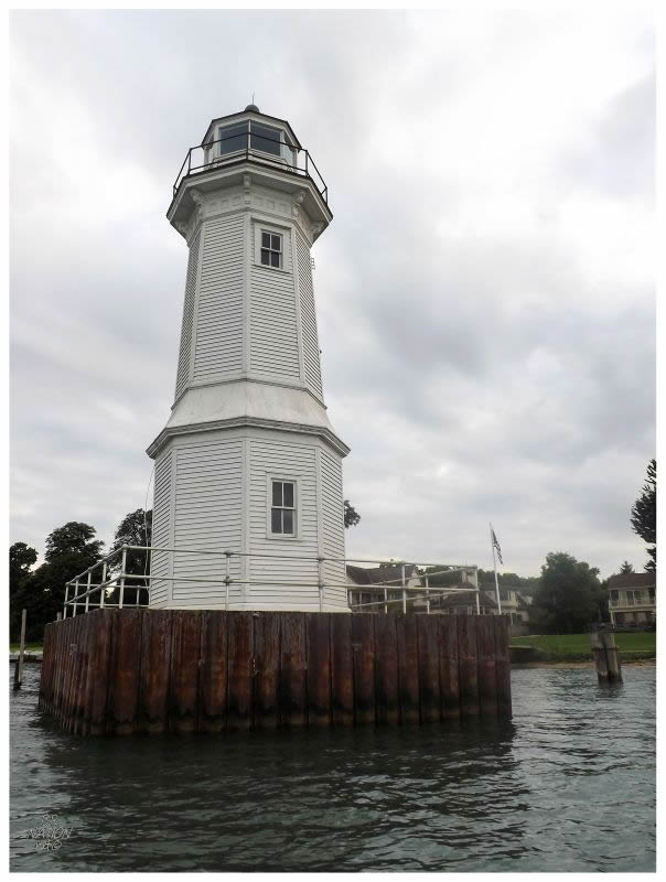
Two range lighthouses were constructed here in 1894 to guide ships into the north channel that led to the shipping channel by Fighting Island. The front lighthouse of this set is the one you see above, reconstructed in 1906 and dating from that time. With the advancements of the Livingstone Channel, this north channel fell out of favour & by the 1920s, the Rear Grosse Ile Lighthouse was demolished. This front lighthouse still guided mariners until 1963, at which time it was decommissioned. The Grosse Ile Historical Society took ownership in 1965, rebuilt the crib in 1984 and has provided public tours in recent years. The need for public tours comes in that this waterfront is private property. Therefore once a year the lighthouse is open for a few hours & you're allowed through the property and into the lighthouse (I haven't did this yet.) |
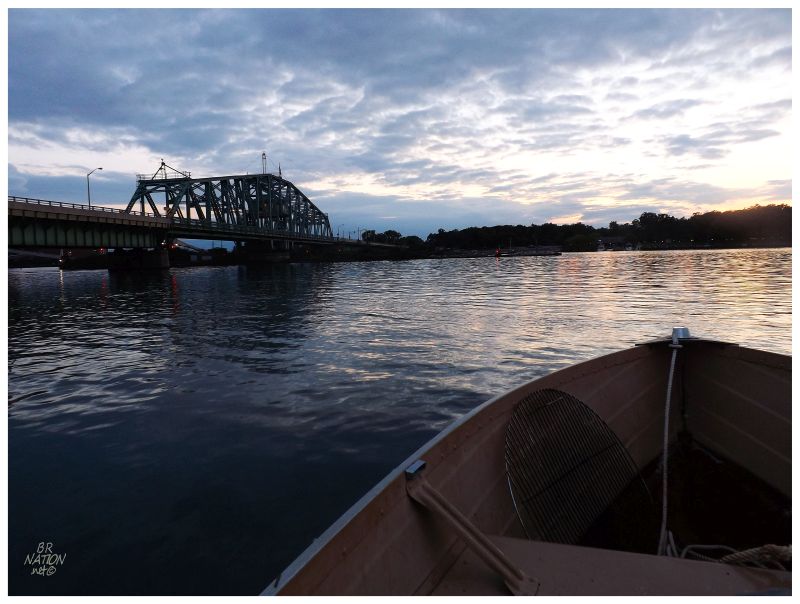
A good day on the water was concluded by turning into that Grosse Ile canal and checking out a few more of the impressive houses (and also a few rundown homes as well). We left Grosse Ile behind right by the Wayne County Bridge, motoring alongside it to our waiting vehicles at the Trenton Marina. The end of a fine day out on the water and something different in Michigan than I've ever experienced. |
Walton Street Substation.
Donnie and I had actually spent the night over in Detroit the day before, cruising around and heading out to places where he wanted to take large-format photos. |
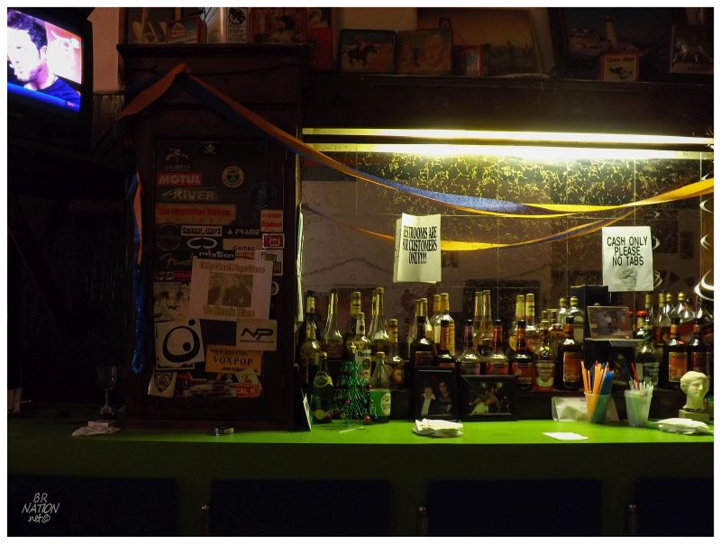
As night fell, we decided to finally stop at Steve's Place, an old dive bar next to St. Andrew's that's been there for about half a century. This place is owned and operated by an elderly 89yo and 90yo Greek couple & it's certainly a throwback to an older Detroit. As the years advance and more 'entertainment districts' are created, you have these little places forgotten and they often have closed long ago. DetroitBlog had a great piece about Steve's Place. Sure enough, Steve came over and offered us free shots of schnapps, just like you always heard about the generous and friendly man. |
It was a good thing we stopped at Steve's Place when we did, as he would pass from cancer about a year later. His wife and co-bartender/owner Sophie would bring his body back to Greece, with plans to move there for the rest of her years, leaving Steve's Place behind. I now know that Donnie & I will recall a fond memory of this place whenever we drive down Congress in the future (that is until they tear the building down for a parking lot or a sterile new gastropub). |
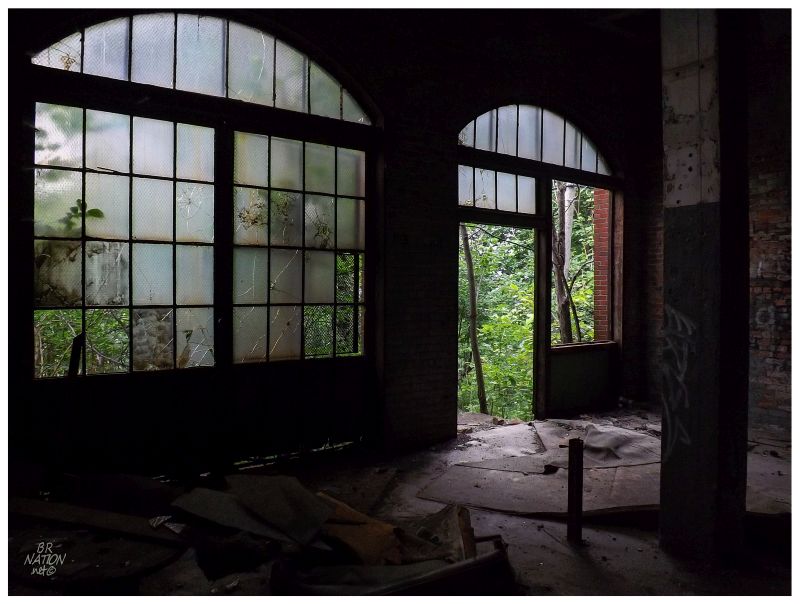
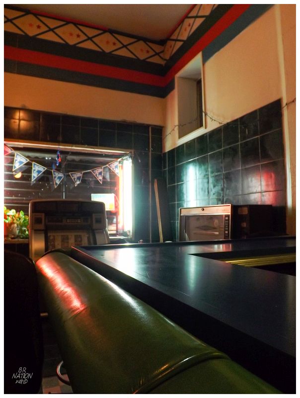
For how nice our day of boating was, it was pouring rain the night before. After Steve's Place, we headed out to a taller abandoned building we had heard about, the pouring rain keeping us on the top floor instead of on the roof. A thing in life that is up there with exploring obscure geographic places, is being in abandoned buildings during inclement weather. I know that I enjoyed myself as the two of us sat up there and stood in awe of the never-ending rain. Anyway, this trip wouldn't make me forget all of the crummy happenings that brought me to Ontario, but it certainly helped. What was an unbelievable 3 days where two of my best friends and roommates left town, my dog died and a very close relative died, is now a stronger memory of a day on the water and a summer's night in Detroit replacing laying on the floor of my newly-vacant house. Those lost are still in memory obviously, but individually and accepted instead of the ridiculousness of those preceding days. |