After hiking to the highest point on the island back in 2014, I've continued to think that it would be pleasant to camp in the grassy plateau you first cross on your way to the Cabox. I would set off in May of 2016 to do just this. Driving down to the village of Cold Brook (north of Stephenville), I then took the rocky, gravel Cold Brook Forest Access Road for 28km (17mi) to the poorly marked Cabox trailhead. |
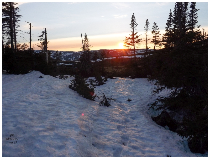
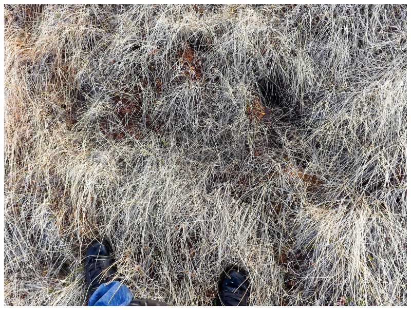
Today's hike would only be about a kilometer and a half (1 mile), so I planned to make 2 or 3 trips transporting gear while Shelloo started camp. We'd essentially car camp, but a bit further away from the car than usual. As the car climbed hills and continued along Cold Brook Road, I started to worry. Plentiful amounts of snow were visible anytime we looked into the woods at the forest floor. Reaching the trailhead and walking into these woods, there were lengthy snow patches that we had to pick our way across while trying not to get our feet too wet. Unsure of whether camping here would actually work, we went on a scouting trip & didn't carry any of our gear. |
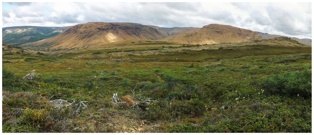
The woods can hide and protect snow, but surely the grassy plateau with its exposure to sunlight would be fine. Right? |
Walking about, it was clear that the surrounding hills and woods were delivering their meltwater straight to the grassy plateau. I thought about how it must only be in the low parts, but jogging about, everywhere was too wet and marshy to set up a tent (especially with failing to foresee this and pack a tarp). |
The long grasses were misleading because everywhere there was hope, I'd then stroll over and find that there wasn't even enough dry space for the modest tent. |
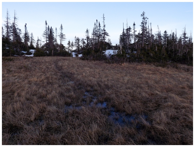
Although this wasn't going to work, at least we both agreed that this would be a gorgeous camping spot. |
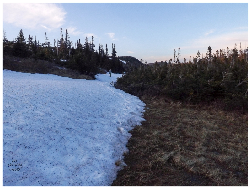
Night was falling quickly though, so there wasn't much chance to wander off further in search of a better area. We needed to get back, set things up & stay warm. |

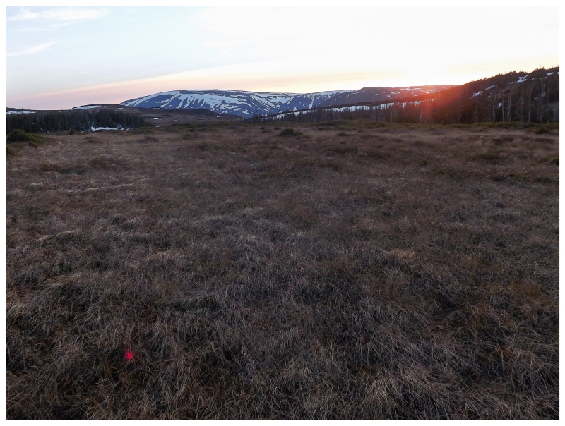
The consolation of it all was that there were a few minutes to drive further up the road into unknown territory. Up ahead, we found a clearing that looked like there was a sawmill or cabin at one time. I'm always excited to camp in an area where there was once human inhabitation and I laughed at how much I geeked out at some parallel logs on the ground. Being able to see the tops of the surrounding hills also added to the campsite. There was a slight feel of being in the Lewis Hills. |
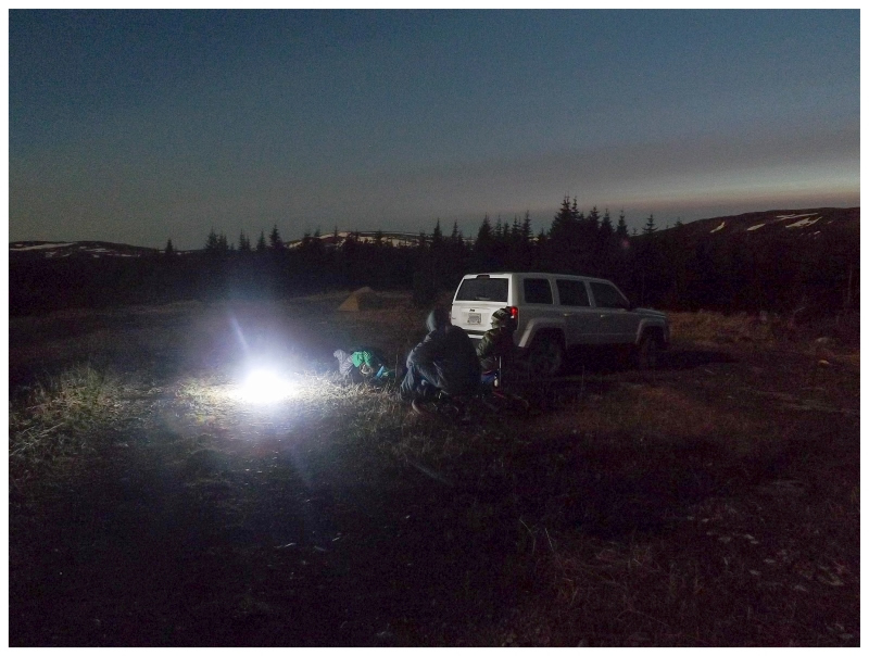
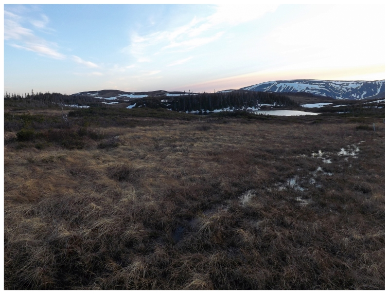
Another great thing about this campsite was how far out in the wilderness we were. About 30km up the gravel road from the village of Cold Brook; it would be about the same distance north to Mt. Moriah, east to Gallants or west to Fox Island River. It would be hard to pick a more central area in the wilderness that's hemmed in to the west of Corner Brook. |
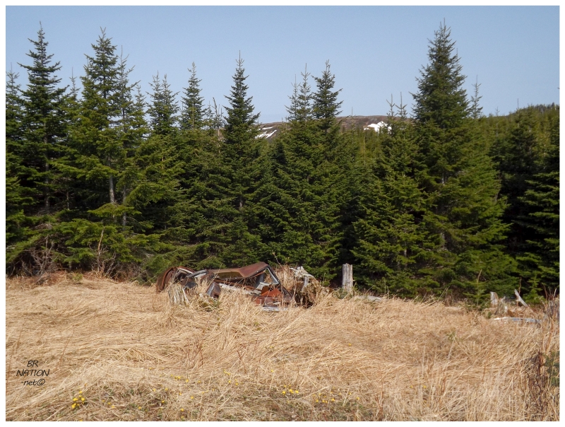
And hey, there was even a car wreck to check out in the morning. We might've failed at camping in front of the red Lewis Hills, but I was still happy with this. Was it worth driving on a gravel access road for an hour? Ehhhh...maybe you should think about waiting a bit longer into the summer if you plan on camping in similar areas. |