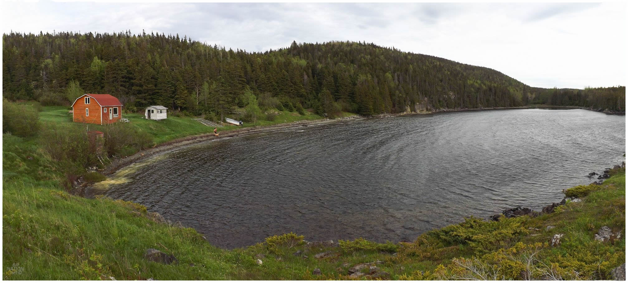
With the weather finally a bit nicer back in Newfoundland, Isy and I wanted to head out and do some camping but didn't want to go all the way across the island. We went to the Botwood area, where the NL-350 brought us north to nearly the end of a very long peninsula, before we stopped in Glover's Harbour on the way to Leading Tickles. You may remember Glover's Harbour as the place with the giant squid. |
Studying Newfoundland's coastline weekly like I do, I'd long ago noticed the resettled community of Lock's Harbour only a short distance away from Glover's Harbour. The only problem was that we were going to have to go right through someone's yard to reach the ATV trail, but Newfoundland is a place of few fences and even fewer angry property owners. Fearing making a scene in tiny Glover's Harbour or being told that there's nothing left to see in Lock's Harbour, we packed up our gear at home so we could quickly move, but it still took us over 10 minutes to get everything together when leaving the car. Glover's Harbour is sleepy enough though that very few cars passed by in this time. Closing the car door and heading up the steep road, there was a man out in his shed who looked confused with the two hikers donning large packs, heading through to the quad trail. He expressed further bewilderment when we explained that we drove 350 km from Corner Brook for this, but figured Lock's Harbour was indeed a nice place to camp for the night. As he went back to his work, we went back to continuing our plod upward and westward. |
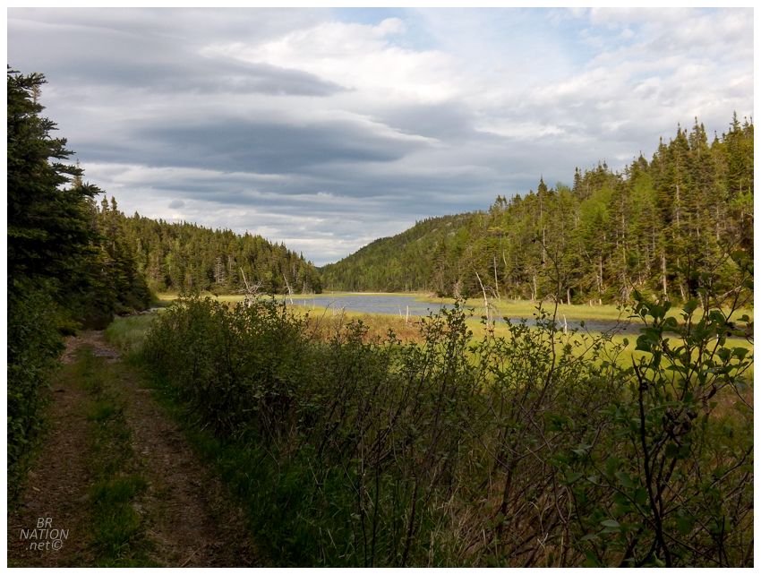
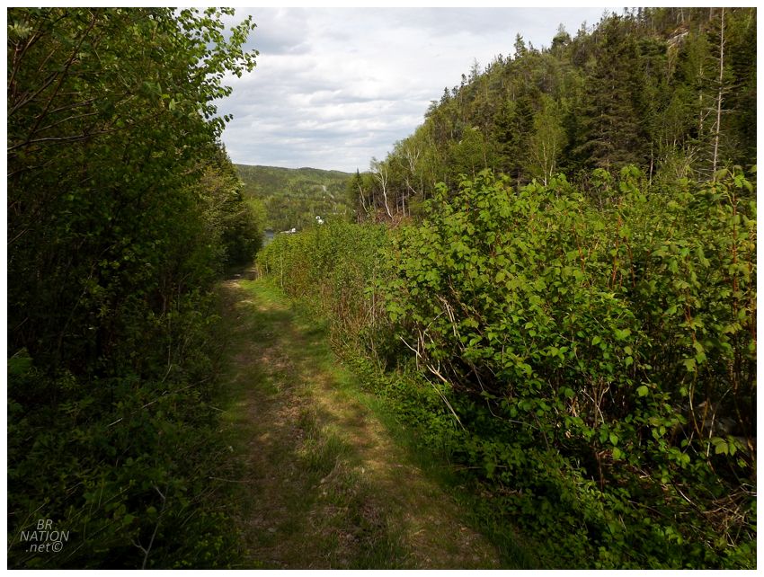
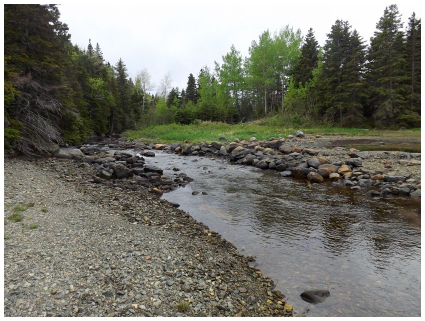
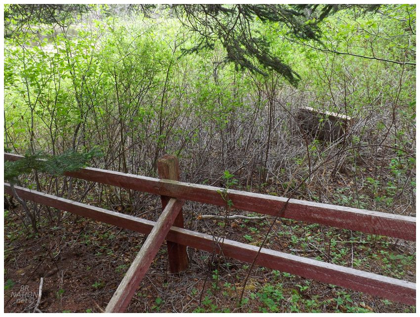
We only had a mile (1.6km) to cover according to the path you can see in Google Maps, but you never know what kind of path you're going to find on the ground with the Google's dated satellite imagery for Newfoundland. It turned out pretty good though. For most of our hike, it was a well-used quad trail and the only problems were flooded portions where we had to tip-toe along the edges or go up into the woods. |
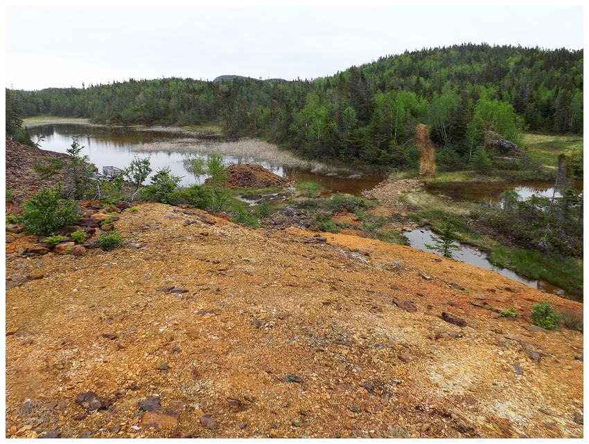
At about the halfway point, we came to the ruined landscape of the old Thimble Tickles Copper Mine. Started during Notre Dame Bay's small copper rush of the latter half of the 1800s, this copper mine was worked through blasting at the surface and hammering away at the leftover rock to get to the valuable rock beneath. It was mostly worked in the 1880s and 1890s, turning out to be a more lucrative source of sulfur than copper. |
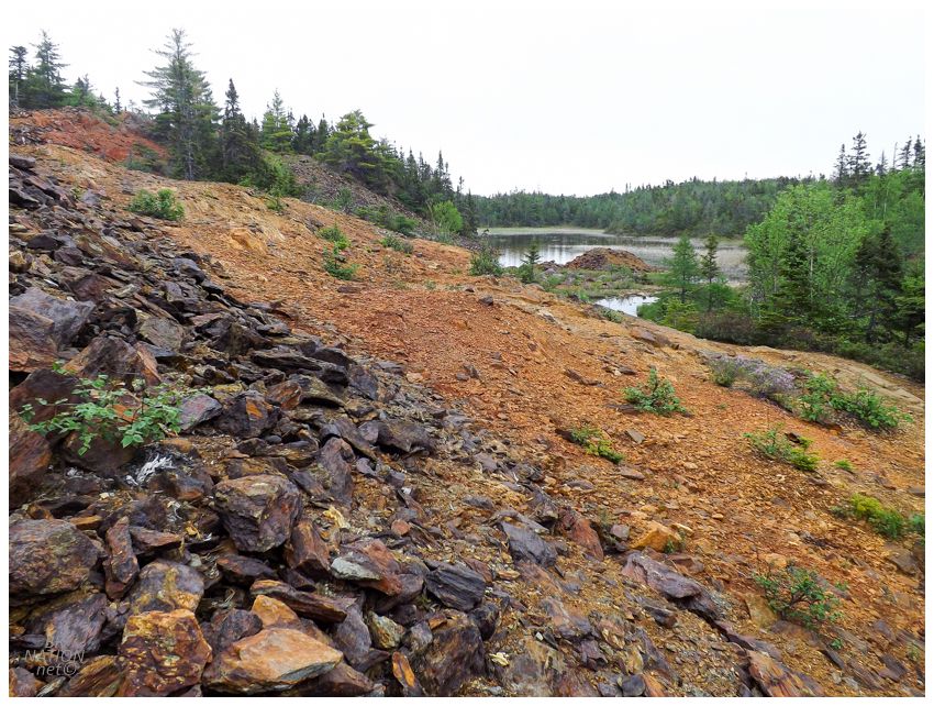
Throughout the 20th century there were shafts sunk and the economic viability checked here at Thimble Tickles, but the findings were never good enough to work the site again. There's an amazing writeup of Lock's Harbour over on the Anglo Newfoundland Development Company.wordpress website, where the author says that these shafts were sealed up by the end of the 20th century. |
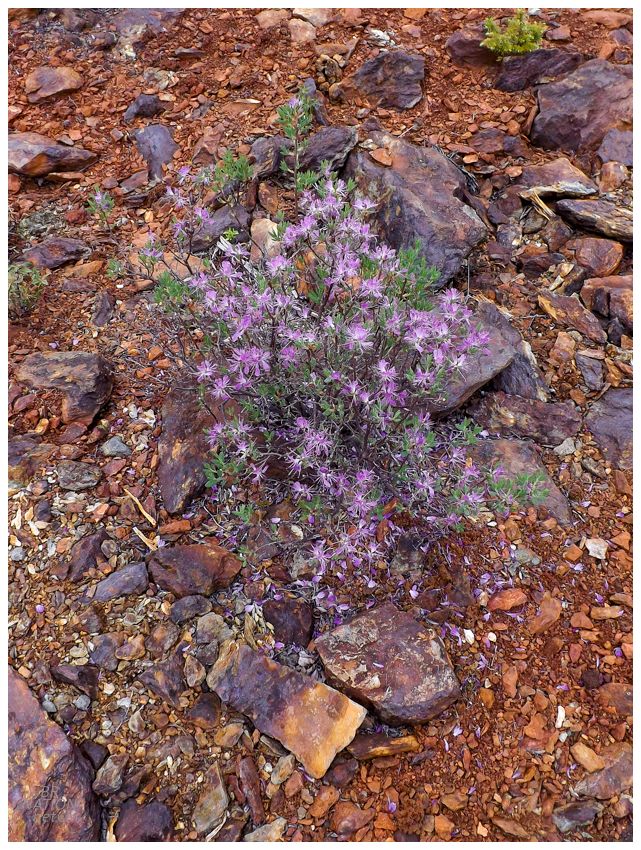
I found it amazing that the landscape still looks like this after mining operations happened so long ago, but at least this Rhodora plant seemed to like it. |
Click to enlarge
Leaving the mine behind, there were a few hills that made us dwell on how much camping gear we brought, but the trail wasn't tapering off either. This was great because it would have been tough work to bushwhack with this much stuff. We had to be getting close though and just as I started to wonder how much of a clearing there could be at Lock's Harbour, we came to a giant pile of firewood and then a 15-ft wide clearing, home to the lone cabin of Lock's Harbour. And if you think I'm playing up a 1.6km (1mi) hike along a quad path, then you should know that the dog immediately laid down on the rock beach and was done with us for the day. That's right, I'm more hardcore than an 8-yo Standard Poodle with gastrointestinal problems who doesn't like camping. |
Lock's Harbour first appeared in the census of 1869 with a population of 34. These settlers likely came from other established places in eastern Notre Dame Bay, settling here to fish cod and lobster, grow gardens, and head up to the Labrador fishery. Eventually lumbering would start to take up more of their time, with the mills being constructed nearby in Bishop's Falls & Grand Falls-Windsor. This also meant that there were sawmills nearby with one right in Lock's Harbour, one in Glover's Harbour, and one in Mill Cove down in Osmonton Arm on the way to Point Leamington. |
Leading Tickles is about 5 km (3mi) north of here and was always a much bigger place than Lock's Harbour or Glover's Harbour. Even when Leading Tickles had a "low" population of 302 in 1945, Lock's Harbour only had 74 in 1951 and Glover's Harbour had 52 in 1966. Leading Tickles is the reason a road was ever built up this peninsula and Glover's Harbour just happened to be fortuitously closer to the road than Lock's Harbour. Connecting Glover's Harbour in 1962 allowed their residents to take their fish by roadway to Botwood or Point Leamington, while Lock's Harbour continued to feel isolated, even more so as men went into the woods for seasons as lumberman to provide for their families. By 1966, 39 residents of Lock's Harbour would resettle to Glover's Harbour by moving over the trail (or floating their houses around the headland); while the remainder of the residents moved to Leading Tickles, Point Leamington or Deer Lake. The last of these moves were financed to some extent by the government, allowing them to mark Lock's Harbour as a resettled community and no longer need to provide any services. |
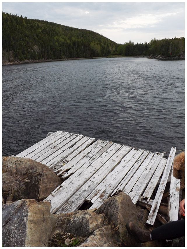
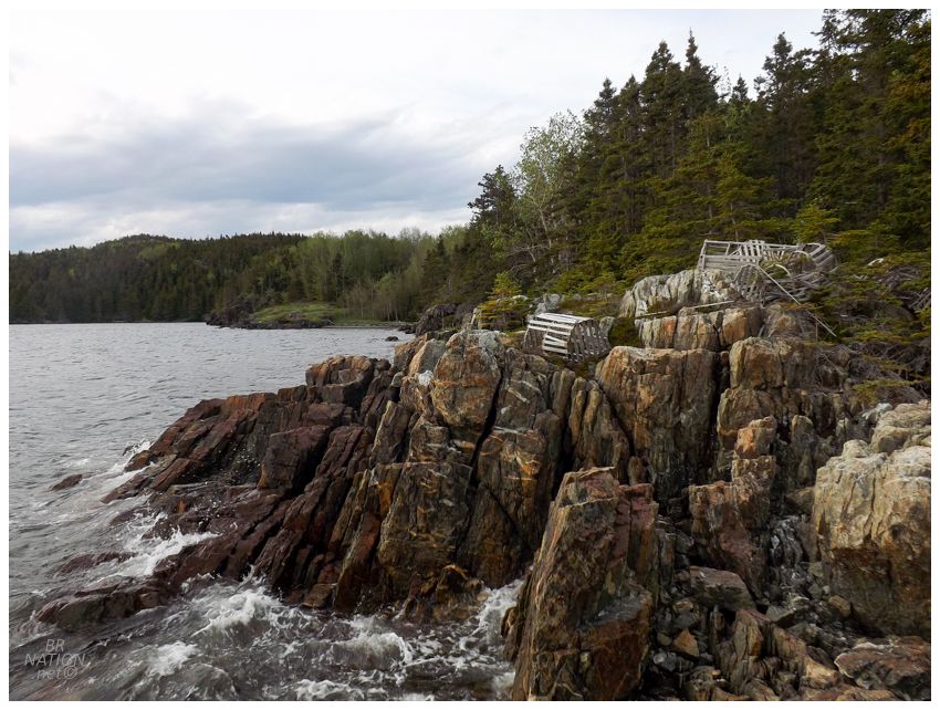
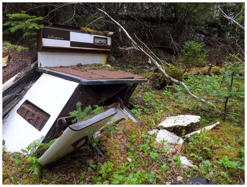
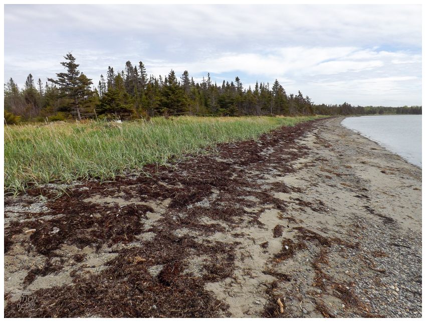
Throwing our heavy packs down, we surveyed the small clearing for somewhere to put up our tent, while I also kept an eye out for old stoves, cultivated plants and other signs of previous occupation. This wasn't one of those resettled places with collapsing saltboxes left behind, but it was still a cove we had to ourselves as a fine evening was settling in. After setting up our tent, Isy went for a swim while I continued to look around and eventually settled down on some seaside rocks to relax. (The dock in the above photo swayed a bit for my liking.) |
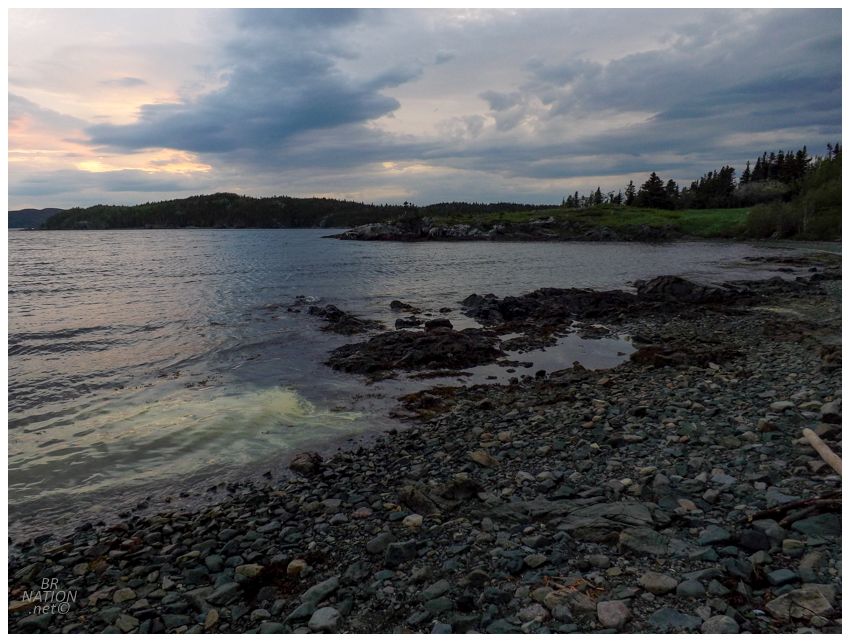
As night started to fall, we noticed more of a green blob in the water with the light fading. Around the harbour there were inconveniently placed red signs warning against fishing here, leaving us to wonder if the two things were tied together. |
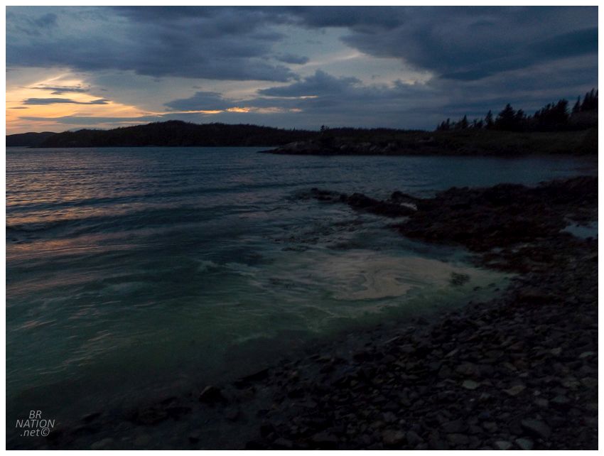
Mined rock from Thimble Tickles was brought over the hill and sent from here to the smelters at Baie Verte's Tilt Cove, but it was brought by tramway, which you wouldn't think would leave some lingering issue with the cove. |
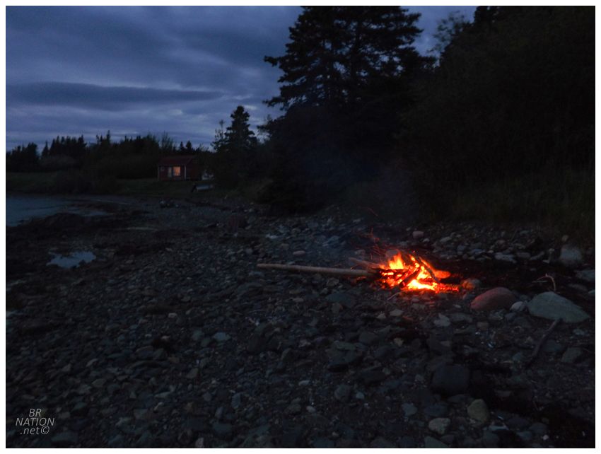
Anyway, the bugs were pesky but everything else was just dandy, so the night especially called for a fire to smoke the black flies out. And it worked spectacularly as we were then able to chill out and only moved to occasionally grab more driftwood for the fire. I was loving the obscurity of camping and having a bonfire in this random cove. |
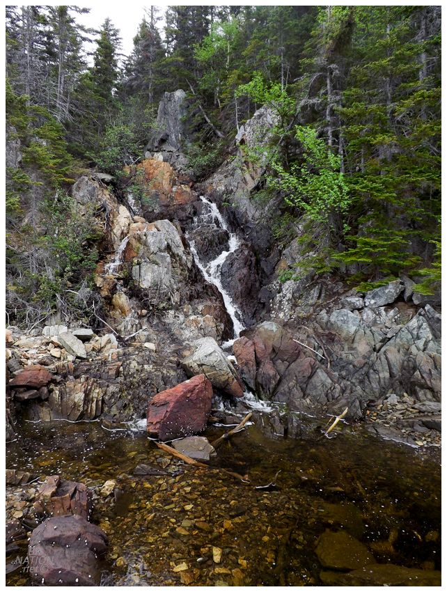
I had to get a small fire going again in the morning as the black flies speckled our tent as they fluttered about under the fly but not in our space. Deciding on wandering into black fly territory outside the smoke, I headed down the coast past this waterfall dropping into the ocean. This was also scoring obscurity points. |
That Anglo Newfoundland Development Company blog has an old topomap that depicts 12 houses in Lock's Harbour, the houses located where that cabin is nowadays & another clearing just to the north. Following the shore to the south where there weren't ever any houses, I came to a gentle river with a flat plain where I skipped across the rocks to the other side. |
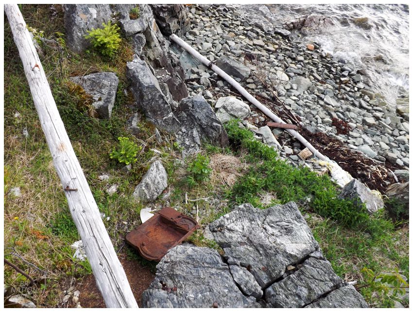
There were a few things like old metal barrels and pop cans, but nothing that jumped out as a sure sign of a house or houses every being over here in Lock's Harbour's south side. This was my favourite area of Lock's Harbour though. If I was Lock's Harbour Marsh, Haggett or Cassell, I would have built my home over here. |
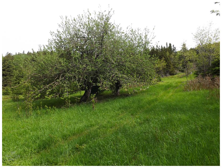
What I think is an apple tree. Northern clearing of Lock's Harbour.
I could have hung out in that riverine clearing all day, but I figured I should get back to Isy as the black flies were probably an annoyance by now. On the way back I noticed a big grey square to the north, hidden in the trees in the next cove up from this tiny cove (both coves being within Lock's Harbour). I pulled out my camera and zoomed all the way in to the songbird zoom length and snapped a photo, but of course my camera isn't that great and it only showed a cartoonish, hazy grey square. It did look like a building of some sort though. Since we needed to head that way anyway, I asked Isy what she thought about dropping our stuff off at the turning point for the trail back to Glover's Harbour, and then trying to see if there was any kind of path out to that grey building. After dropping off our bags near what looked like an apple tree, we dove in. |
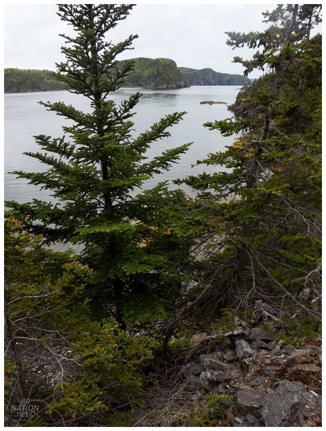
Trying to keep our spirits high, I rushed ahead to explore and try to reduce the amount of bushwhacking and desire to abandon our goal. This meant I went down the first path we found, which was incredibly steep, to the point that I didn't even realize we were so high above the ocean. Popping out in a small cove, we couldn't walk the beach from here to the grey blob, so we needed to head back up the hill and into the woods. There was another promising trail piece & we'd give that a try and then turn back if it didn't work out. This path turned out to be impeccable, and in better shape than a lot of village hiking trails I've come across in small towns here. It was dry and flat, with a sharp drop off to our left providing a nice view of Lock's Harbour and a hillside to our right showing off forests and large boulders. If you didn't have to walk by the mine scar and flooded pond, I'd say Glover's Harbour should look into developing this trail for tourists, haha. |
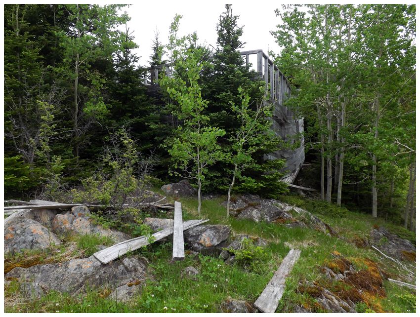
It wasn't long before we came out into a grassy clearing dotted with rock and moss. Up ahead we finally solved the grey blob mystery as an unfinished house stood before us. |
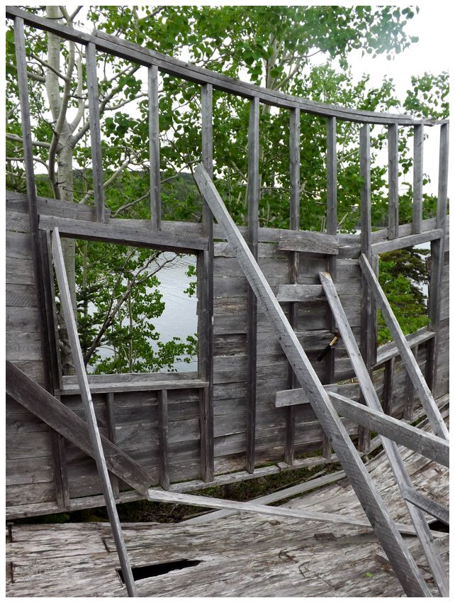
There was also a free hammer if you wanted to risk it. |
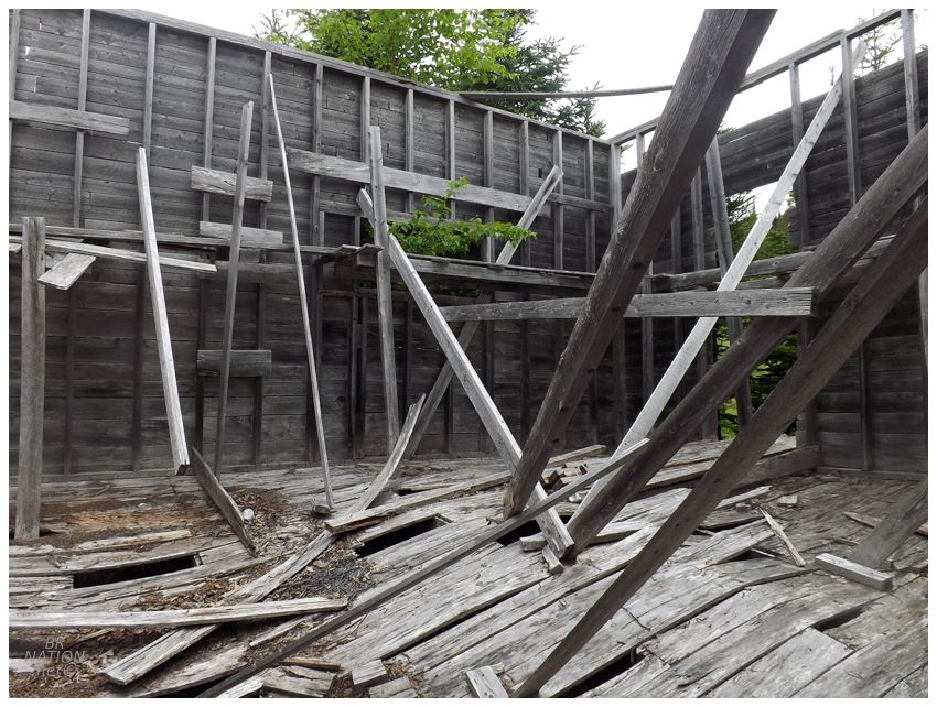
As I stood there, the obscurity and randomness of this find hit me over the head. Was this the level of depth I now had to go to in Newfoundland to see new & interesting stuff? Jeez. |
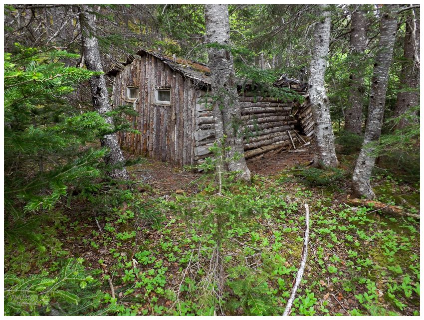
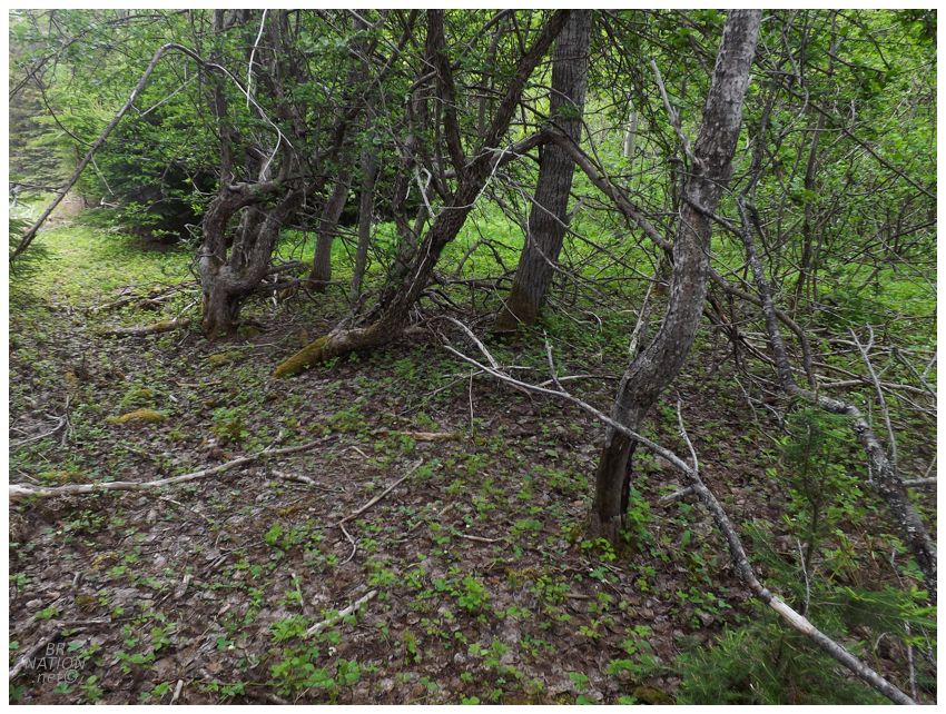
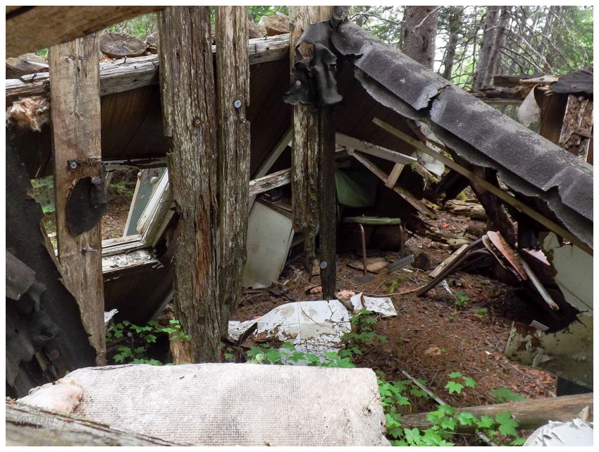
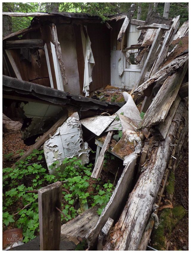
Heading back, we'd dropped the bags off a little north of the original trail we walked to Lock's Harbour, so I decided we could simply cut through the woods instead of backtracking. In what was only 50 or 100 feet of bushwhacking, we came upon these cabins that we totally missed yesterday. This looked like it was going to be a pretty advantageous shortcut! |
For a resettled community that I only knew had a cabin and an old cemetery, Lock's Harbour was showing me that it's worth getting out and putting in some on the ground exploring, because you never know what you may find. |
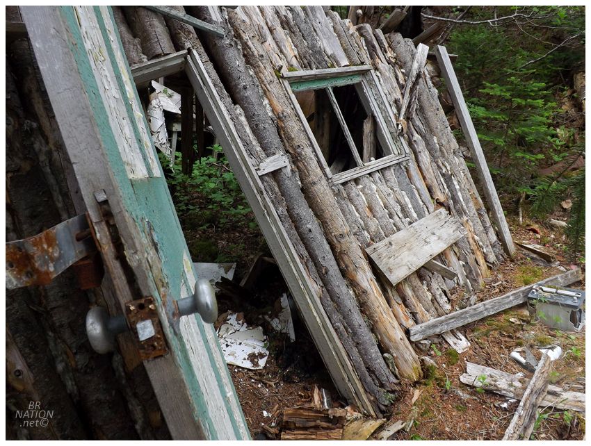
These two cabins are sort of in the vicinity of where houses used to stand, but I don't think they're original to Lock's Harbour. One, because they don't seem like the right vintage and two, because Anglo Newfoundland Development Company.wordpress seemed to have a lot of inside information and I would think he'd have mention these remnants if he knew about them. |
I always wonder why I don't find more abandoned cabins in Newfoundland, and this made me ponder if it's a product of the fact that I find myself in the woods near Corner Brook and Stephenville where there's a steady population base. I guess there may be more abandoned cabins if one goes to places like Glover's Harbour on remote peninsulas. |
About the only thing left now was to check out the old cemetery on the way back. Except that we should have done this yesterday when it was windy and the bugs were much better. Today the black flies coupled with impenetrable pickerbushes that immediately sliced my shorts, so I soon decided against needing to see the 20ish headstones here in two separate, tiny cemeteries. |
Getting back to the car, we drove for about 2 hours over to the other side of the Lewisporte area, while also grabbing some lunch and maybe riding a bit. We were going to spend the evening taking it easy and stopping early by going to this abandoned provincial park I've long known about, but our plans were squashed as we pulled up and discovered it was one of those ones where locals have squatted with their RV's. This wouldn't be so much of a problem with the girlfriend showing people that I'm not a solitary sketchbag, but we also had her dog and there was another dog and the dogs weren't going to leave each other alone and grant us any peace or quiet. We had to keep going. |
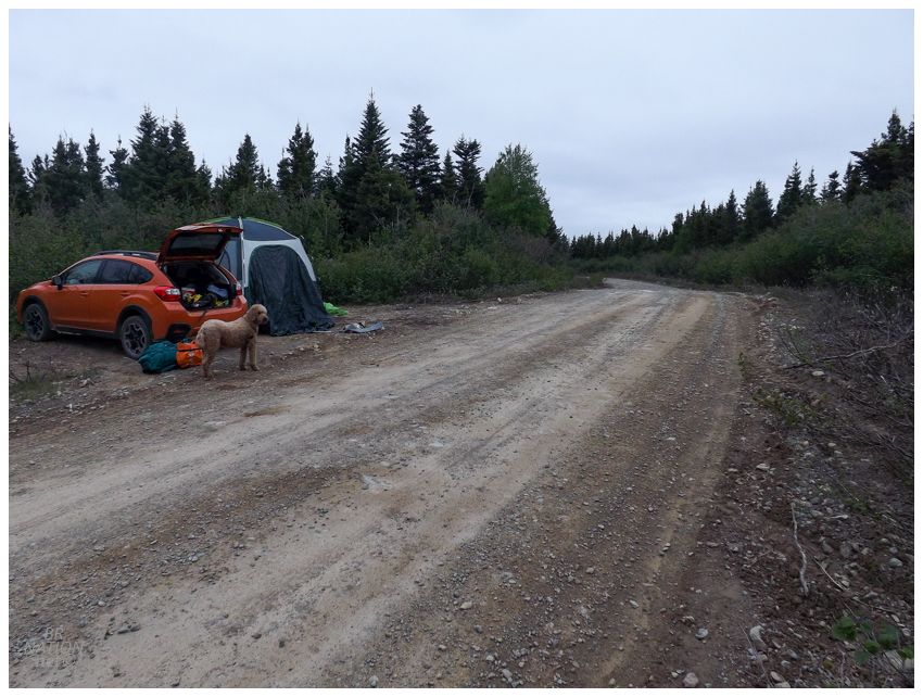
So we drove all the way up to Twillingate, excitedly because Isy had never been there, but plans to camp went out the window with the bits of fog and lows of 3°C/38°F along the exposed northeast coast. Twillingate camping would have to wait for another time. We returned down the NL-340 over South Twillingate Island and New World Island and Chapel Island, trying to get back to the Island of Newfoundland and away from the chilly coast, but at the same time entering into the camping spot desert that is Gander Bay. In the end we accepted camping on a woods road and drove far enough onto Birchy Bay Resource Road to get away from the cabins and find a little extra space beside the road. A couple of trucks would pass by and give us strange looks with our giant tent, but f them, it's another funny pushpin on the stealth camping map. Waking up in the morning, we were back in CB by mid-afternoon. |