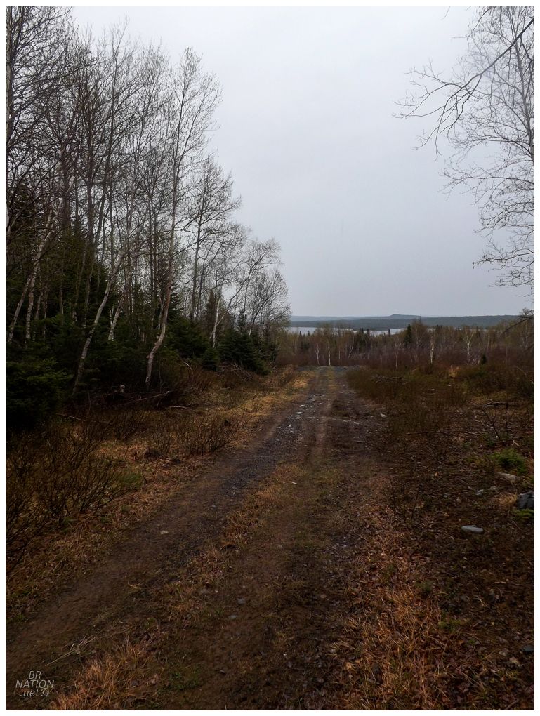
The May long weekend was here and I was fired up for a look-see at this old mine near Springdale. Following two hours of driving on the Trans-Canada Highway and further secondary highways, I pulled off on to a gravel road that got rocky in a hurry. There was no need to rough up my car though, as I'd brought my mountain bike along and was able to cover the last few kilometers with ease. Judging by the colour of the rock around here, I had to be getting close. |

Oh yeah, okay I was getting close. |

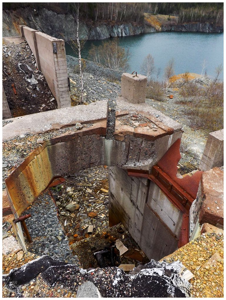
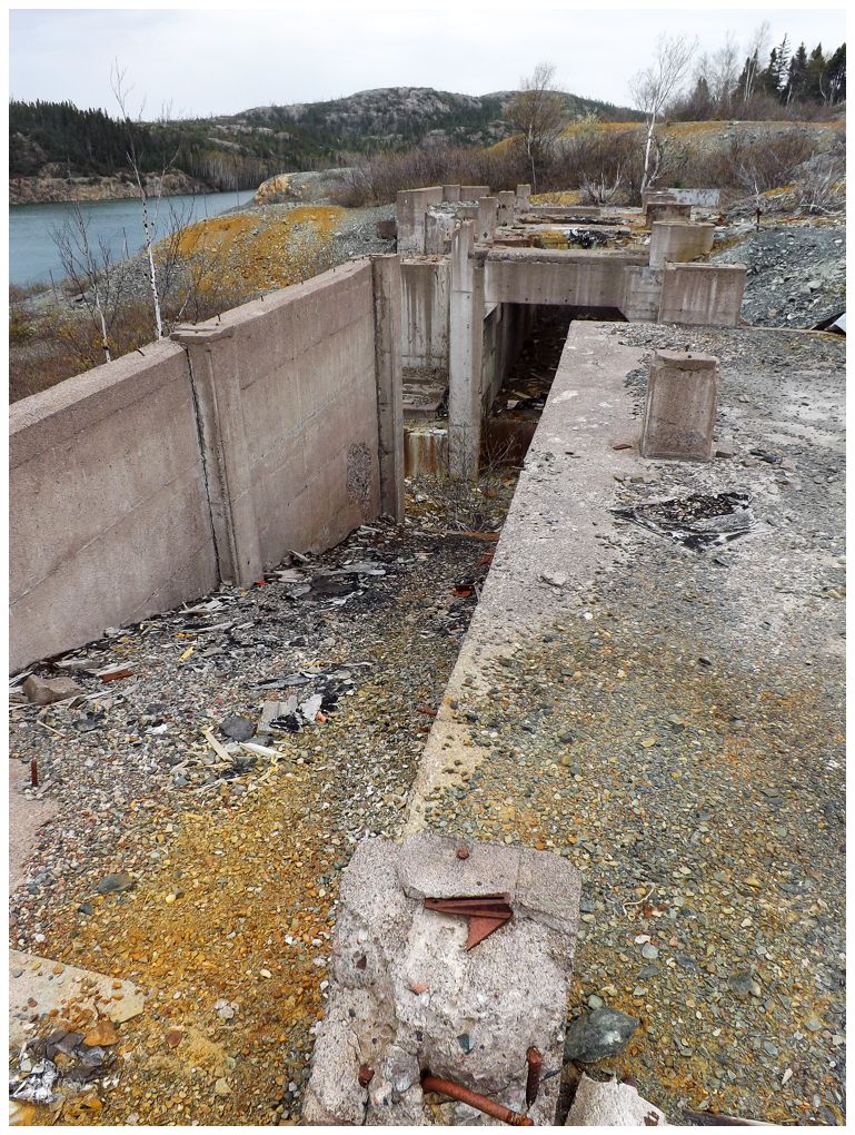
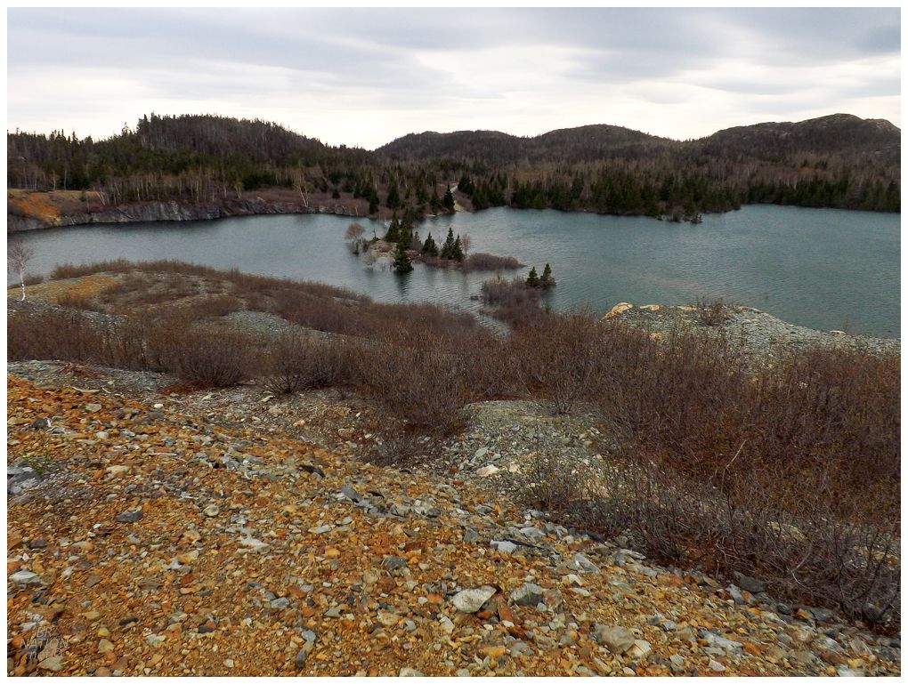
I found a bit of a path off the road and through the alders and birches, only covering about a hundred meters before breaking out of the bush and into a rock expanse with sparse vegetation. I hadn't been able to see what was left here from the satellite imagery, so I stood pleasantly surprised with spotting cement foundations and standing walls. |
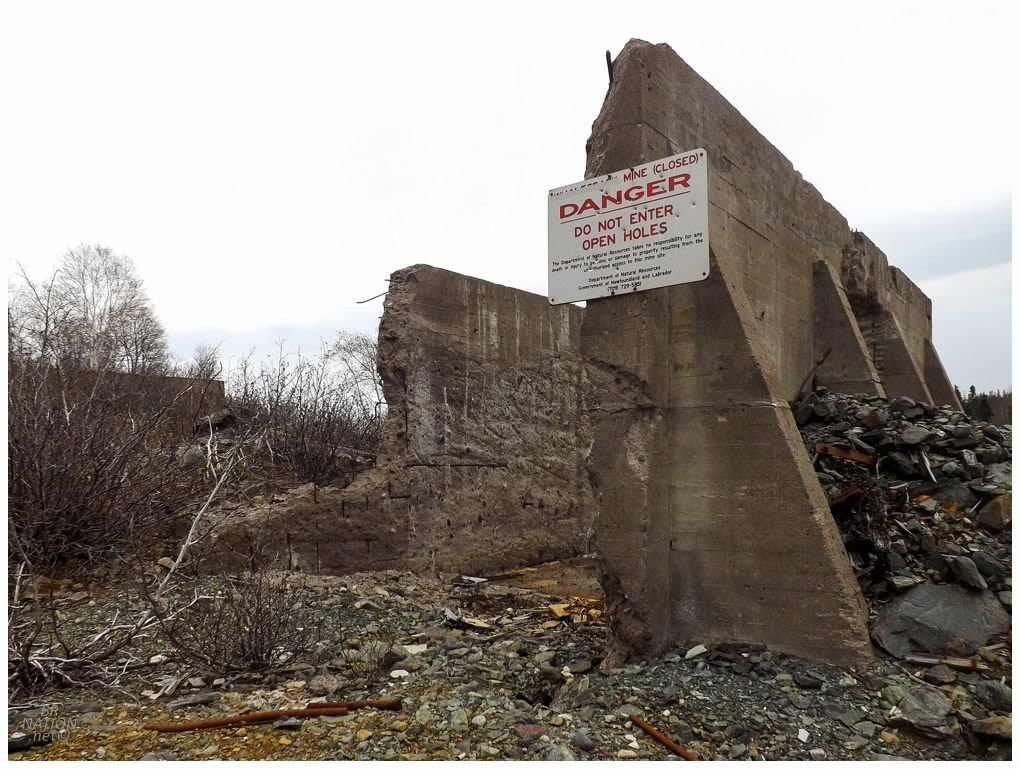
This old mine has long been on my radar due to it being close to Corner Brook and a bigger operation than the small time mines that make up a lot of the island's mining history. As I walked around the towering ruins, I was extremely happy with finally checking this one out. New ruins this close to home? Who would have guessed! |
I recently read Outport: A Newfoundland Journal, a book chronicling a mainlanders' seven years spent in Springdale from 1962 to 1969. It was this mine that brought the author Eileen M. Williamson to Springdale as she was married to an exploration manager for Brinex, the company who opened this mine. This mine didn't just change Springdale in the obvious ways like growing the tax base, increasing the quality of homes, and improving infrastructure; but also because you had mainlanders coming in the form of workers and their partners, Springdale saw some of its first requests for things not known to outport Newfoundland, things like celery and green peppers. Williamson recalls the dumbfounded look when she first asked for celery, and being told that the grocery store only had black pepper, not red or green pepper. A few pages later, she recounts the first time one of the mainlanders found cream of mushroom soup at the local grocery store and how all of the staffers rushed to buy the exotic item. |
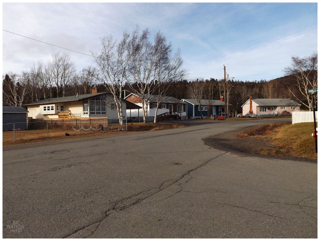
These Come From Away's lived in workers' housing in an area dubbed "The Reservation", located just west of the Springdale Skatepark (or if you inexplicably don't know where the Springdale Skatepark is, it's across the street and down Randell Street from the old Pelley Inn). One of the streets is actually named Brinex Avenue, so I feel safe assuming that these are former staff houses for the mine, while I'm pretty sure I know the exact house that the author lived in, from her description of living "right next to the United Cemetery". Something that blows my mind is that of the four or five houses I've ever photographed in Springdale, I've happened to photograph the former home of the author. This was back on my birthday, where I randomly snapped a picture because I thought the house was neat and looked different. |

The mine didn't only contribute annoying mainlanders demanding specialty soups, they also contributed $60,000 to the construction of a new amalgamated high school, as well as $7500 towards a community outdoor pool. (Previously kids had walked five kilometers to the local swimming hole, but the dirt roads and summer heat would leave them just as gross and overheated by the time they got back to town.) |
Factory light fixture.
Brinex wasn't only spending money in the town though, as they constructed a main plant, a giant igloo-like building that housed the copper concentrate, along with many other outbuildings. Facebook has a great photo of the mine in operation. Seven million dollars had been spent on exploration and development of the mine, and as the clock turned towards the moment it was ready to be put into action, Premier Joey Smallwood slogged across the rough road from St. John's, into the village, and out to the mine, in order to press the start button that roared the mine into action. Meanwhile mining execs and 500 villagers who'd been bussed in from Springdale and other nearby villages, all watched and cheered. The mine would employ 120 people at its peak, with 95% of the workforce being native Newfoundlanders. Unfortunately it would last only seven years, with the ore body nearing exhaustion and some families moving back to their homelands before the mine even closed. |
It was oddly quiet out here. I hadn't seen anyone fishing or on four-wheelers, not to mention that I couldn't even hear any four-wheelers off in the distance from this prominent point. I was planning on camping tonight and I considered setting up shop out here, but I thought I would save that for the next time Isy and I needed somewhere to camp in this neck of the woods. |
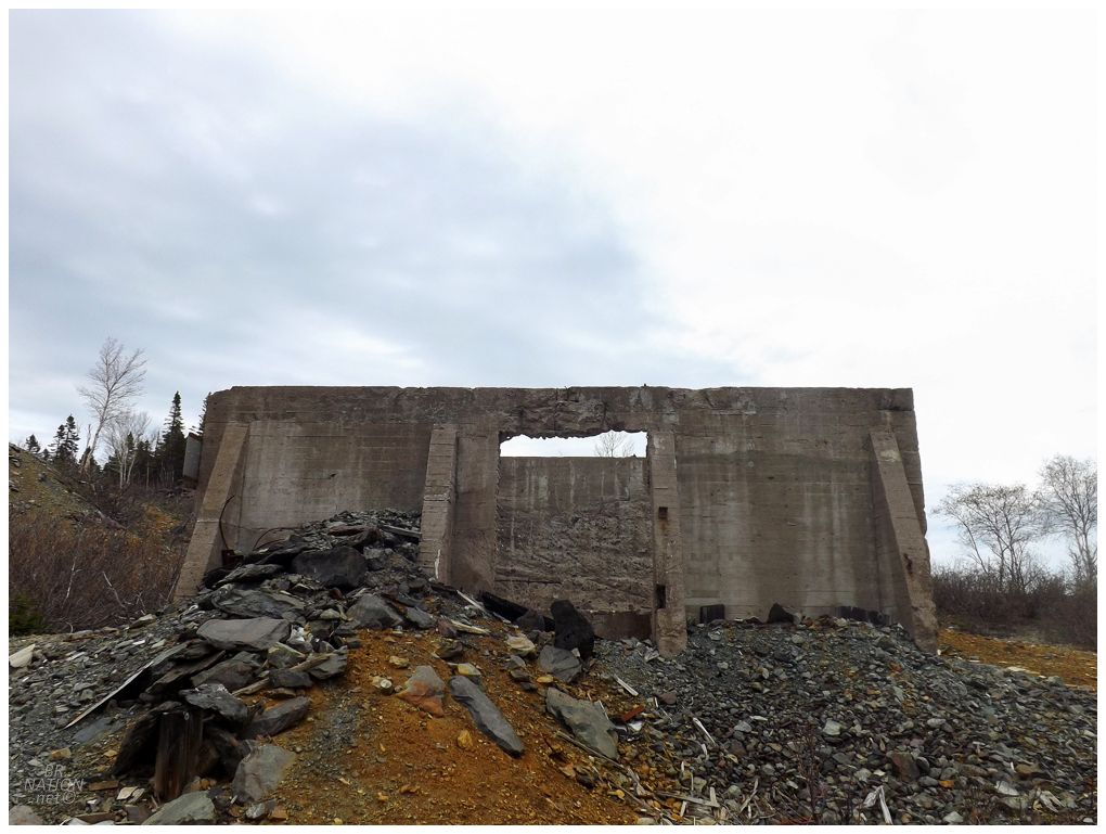
Away from the main headframe building there was another building foundation, one that would be perfect for both camping and building a DIY skatepark. Then again, I guess the Department of Mines might think it a bit flippant if they showed up and someone had built an cement cradle or quarterpipe on land that they aren't even supposed to be visiting on foot, haha. |
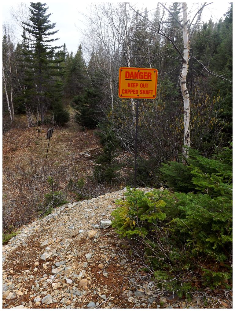
I couldn't find any of the capped and signed shafts that you see in many mine sites in Newfoundland, which made this place feel unsafe and probably not remediated. I went down this little ramp and checked out what was down there - the charred logs of a boil up - but I didn't really push it with kicking rocks around and searching out any holes in the ground. |

On the far side of the mine site, the ground dropped precipitously to deep, dark water. Wanting no part of mysterious cold mining water in late May, I pondered if kids ever cliff jumped here, but figured they probably have better and safer places to do such things. |
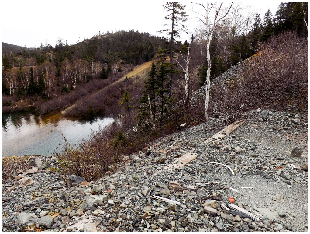
The strangest sight here was a road that cut through the property being entirely underwater. I'd later see a sign stating, "Road Subject to Flooding", but just how much higher was this water than normal? I know this was near the end of the spring thaw and the lake might be a bit high, but there was a fence between the road and the mine site and I could only see half of the top post caps, while the other half of the fence was totally underwater. |
The road being underwater is partly explained by the need to drain this mining area when it was first opened. In order to drain the pond, an 1100-foot tunnel was actually blasted outward from the pond through the hillside. Looking at a map I guess it would be from the mine pond, over to the unnamed river that eventually empties out into Southern Arm, up near Beachside. |
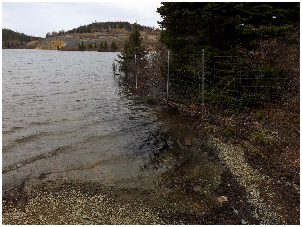
Back at my bike, I went down a different road and found the flooded roadway. That yellow "strip" to the left is the road which I took a picture of four photos back. Standing here triggered my weird shipwreck anxiety, as I thought about boating in this lake and catching the fence or passing over it. The fence's metal nature being much like a subsurface tangle of hull and machinery. |
There was another mine located right here by the flooded roadway, but over a short exploratory jaunt, I only found a few capped shafts and short pieces of railway rails. |
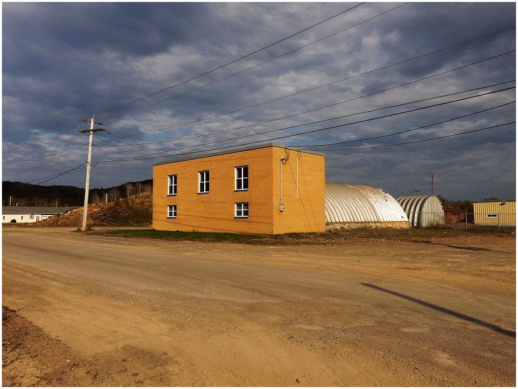
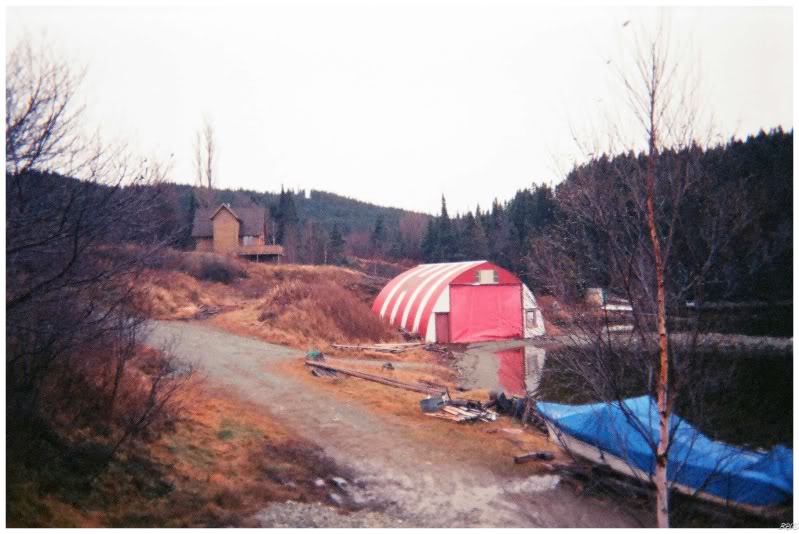
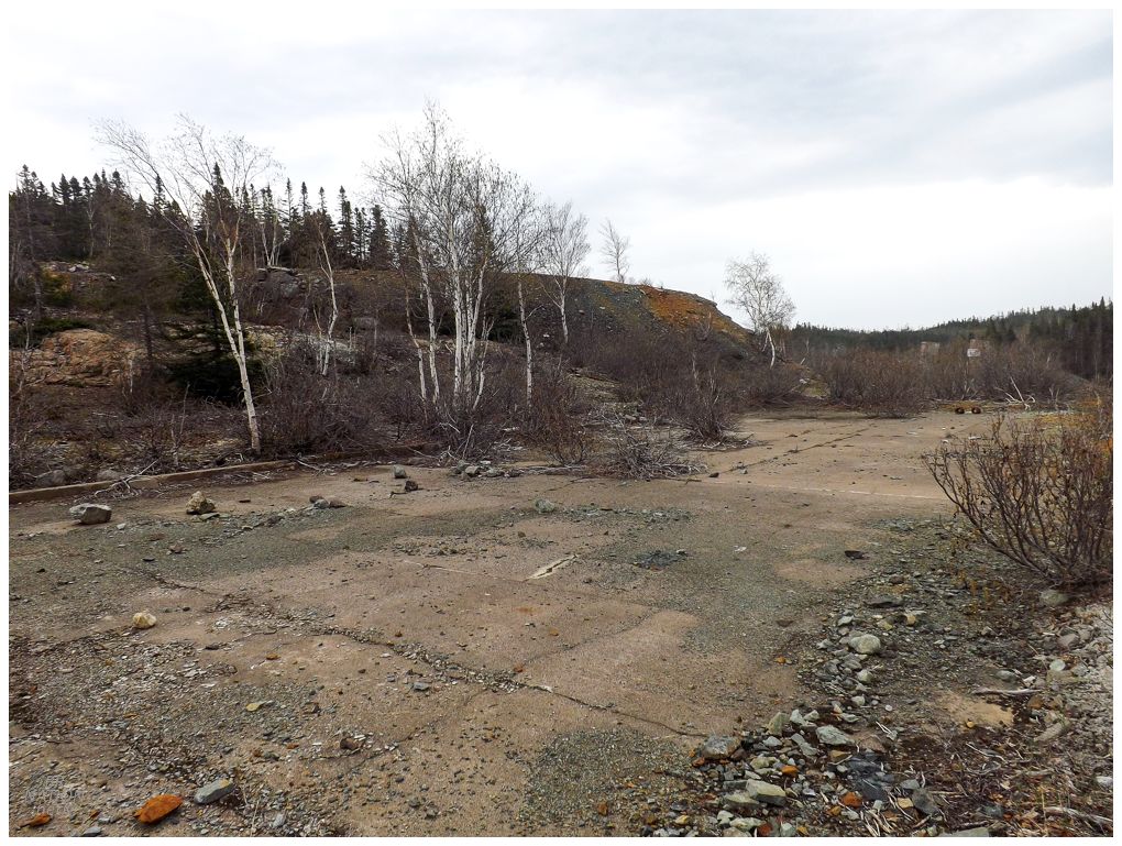
Driving away from the gravel roads of the old mine, the heavens would continue to shine on me as I wandered into Springdale and found an incredible biking spot. We're talking a top 5 spot for all of Western/Central/Eastern Newfoundland, and in a town where I've already scrutinized StreetView and spent many hours driving and walking in search of spots. The key in the end has to do with how there's this crummy Springdale spot which looks promising. Always locked in on that pyrite spot, I would then miss the gold spot that was right there if I just looked to my left. The spots were so close - 71 feet - that I couldn't believe I'd never noticed the golden spot. Anyway, this weird quonset hut building isn't that glorious spot, but it's actually a building I've never seen before - which is quite remarkable for anywhere within 2 hours of Corner Brook! Things were really coming up Navdawg. |
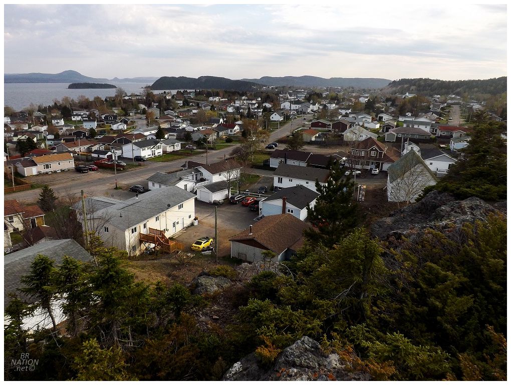
The great day continued as I wandered up a little path and found a dilapidated boardwalk leading to a great view over Springdale. |
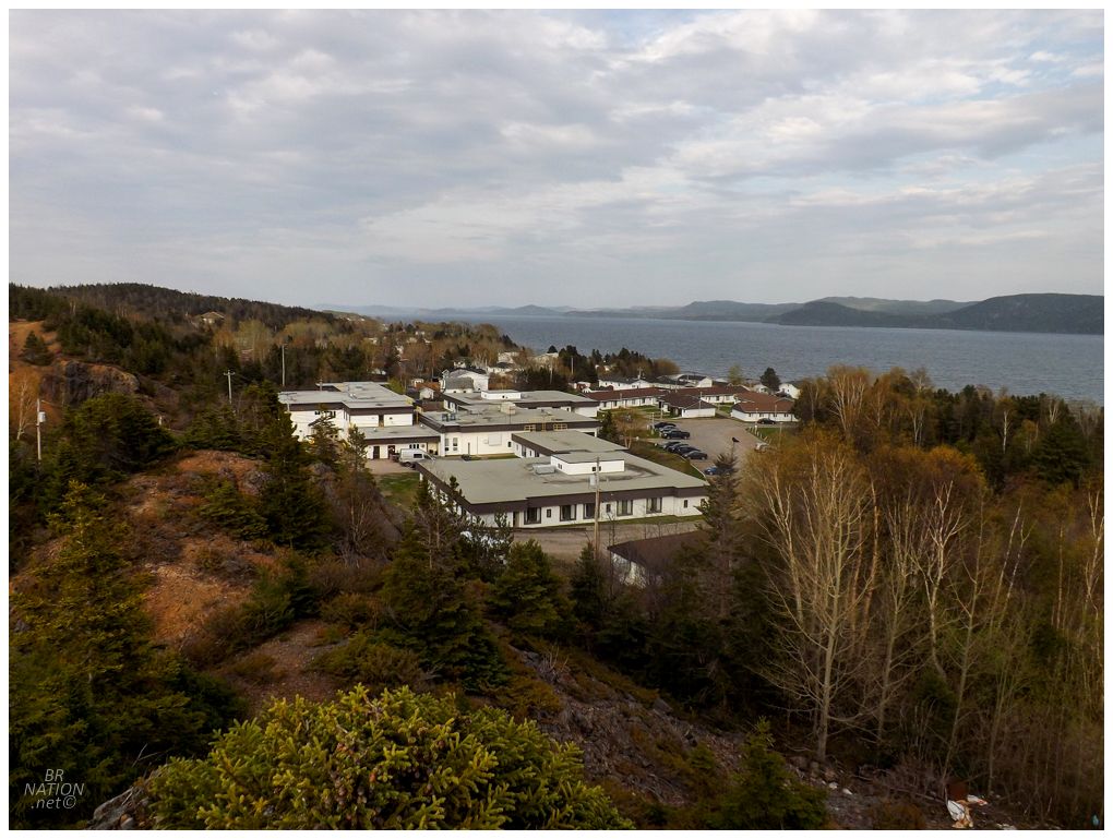
Looking up Halls Bay. The building in the foreground is Valley Vista Senior Citizens Complex
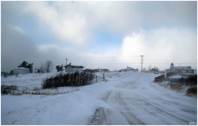
Leaving town, I stopped at the Esso and a woman inside let out a yelp and apologized as she'd forgotten her mask. "Oh don't worry, we knows you're not from Lewisporte!" came from the cashier, and then everyone had a big laugh except me, as I had no clue what was going on. How there could be a rivalry between the obscure towns of Lewisporte and Springdale? (It was only later that I learned there was an outbreak over May 2-4 in Lewisporte, leading all of Central Newfoundland to be put back into Covid Level 4 by Monday morning.) |

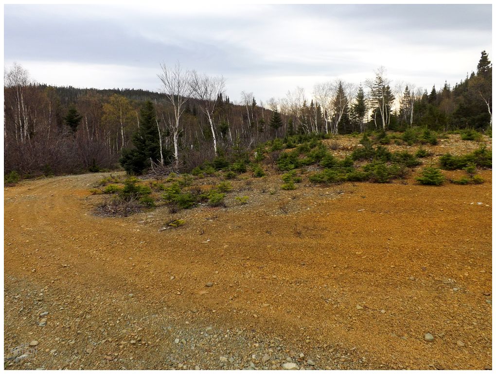
I'm not sure why I didn't seek out a new campsite experience, but I decided to go down to the old mine site of Gullbridge again, even though there's very little left on the surface in terms of ruins or structures. I've covered Gullbridge before here. |
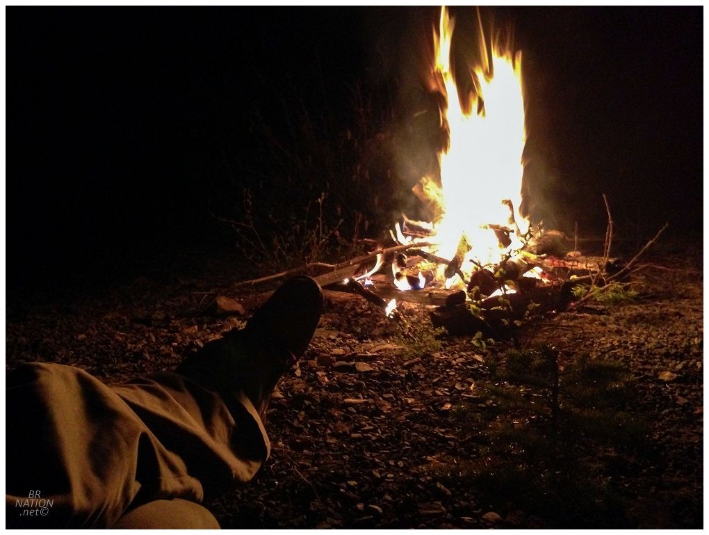
Gullbridge made for a good spot to relax by the campfire light, I suppose. Also of note, this campfire wasn't a necessity, as the low was only getting down to 11°C (52°F). Pretty good for May 2-4 in Newfoundland! |

The only thing I hadn't checked out at Gullbridge was the dam holding back the tailings pond. A small possibility exists that you've heard of Gullbridge previously without my website, since this dam failed back in 2012 (and was subsequently repaired). |
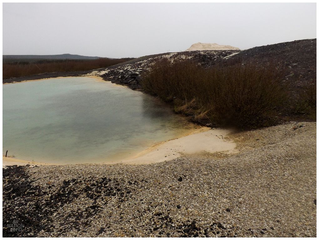
There wasn't any Halloween-orange pools like you'll see at some mines, but maybe they also weren't shining their brightest under these grey skies. The satellite imagery of Gullbridge sure shows a lot of orange. |
I kept walking and it ended up making a satisfying loop of the road out to the dam, the dam, then another old road through the bush and back to Gullbridge. A few birds were returning after the winter, and after trying to chase Fox Sparrows about the alders, I eventually walked the last kilometer to my car and headed home. A decent May long weekend for not getting very far away. |