My friend Bruce & I headed up the Northern Peninsula (and over to Labrador) for a week and put the hurting on some hiking trails. As I think the Northern Peninsula might be my favourite area of Newfoundland, I'm obviously going to share some pictures. |
We headed right up to Forteau Labrador off the hop, but instead of driving to any hiking trails, both of us went for our own walks around town. |
I wandered on to a bit of the Labrador Pioneer Footpath, which reminded me once again of my desire to conquer this trail one of these years. |

Back on the Island of Newfoundland, we found ourselves in St. Anthony where there are a number of trails right in town. Bruce went and tackled the Dare Devil Trail and its 476 steps, which I've always wanted to do. The Dare Devil Trail is the one right by the lighthouse in St. Anthony, and almost every person I've ever visited the lighthouse with has asked if I'd made it up there. I'm still a sucker for walking around a town though, so instead I put in a dozen kilometers to the other side of the St. Anthony harbour. |
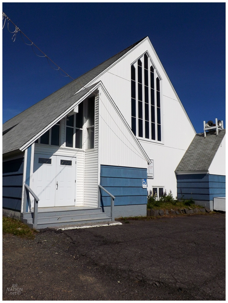
In addition to checking on a handrail and possibly having a beer at the Legion, I also wanted to check out the interior of St. Anthony's St. Mary's Anglican Church. Unfortunately it was locked up tight. |
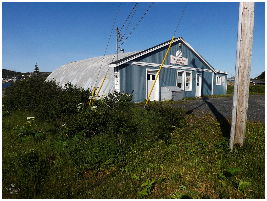
One thing I managed to actually get inside was this quonset hut Salvation Army that's always intrigued me - except that the interior had a drop ceiling and not the exposed metal ribs I was excited to see. Bruce found a great pair of pants though. |
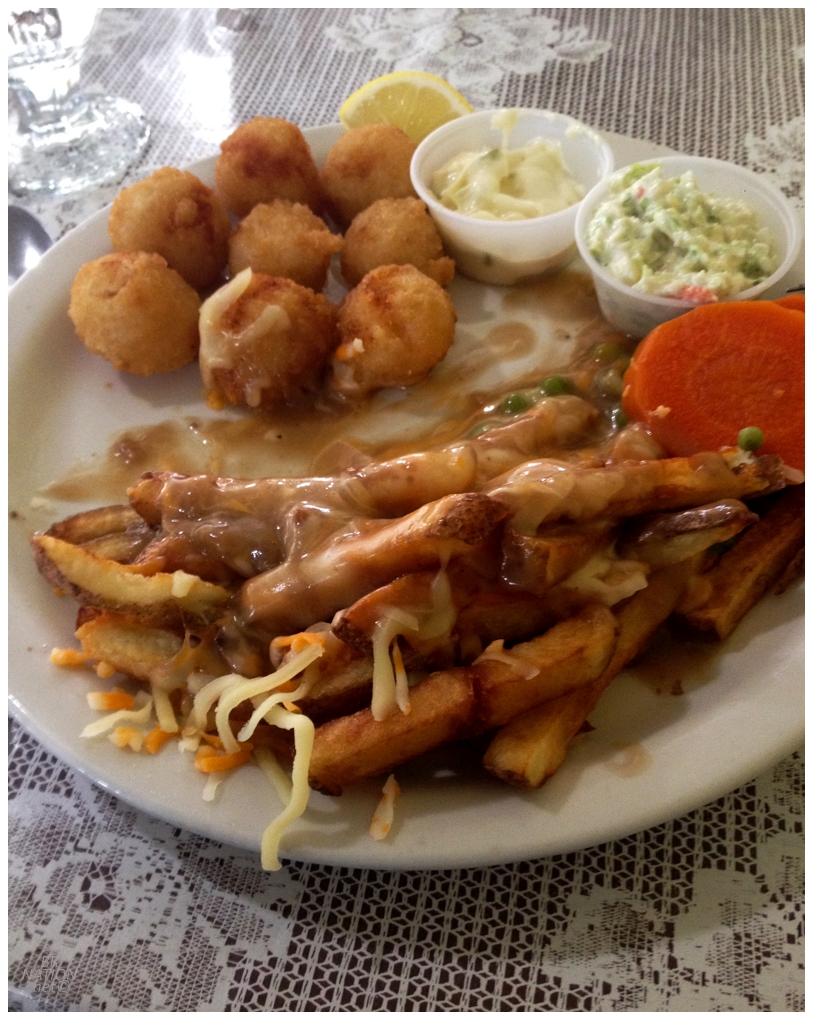
All of this walking was celebrated in the best way - with poutine and scallops! |

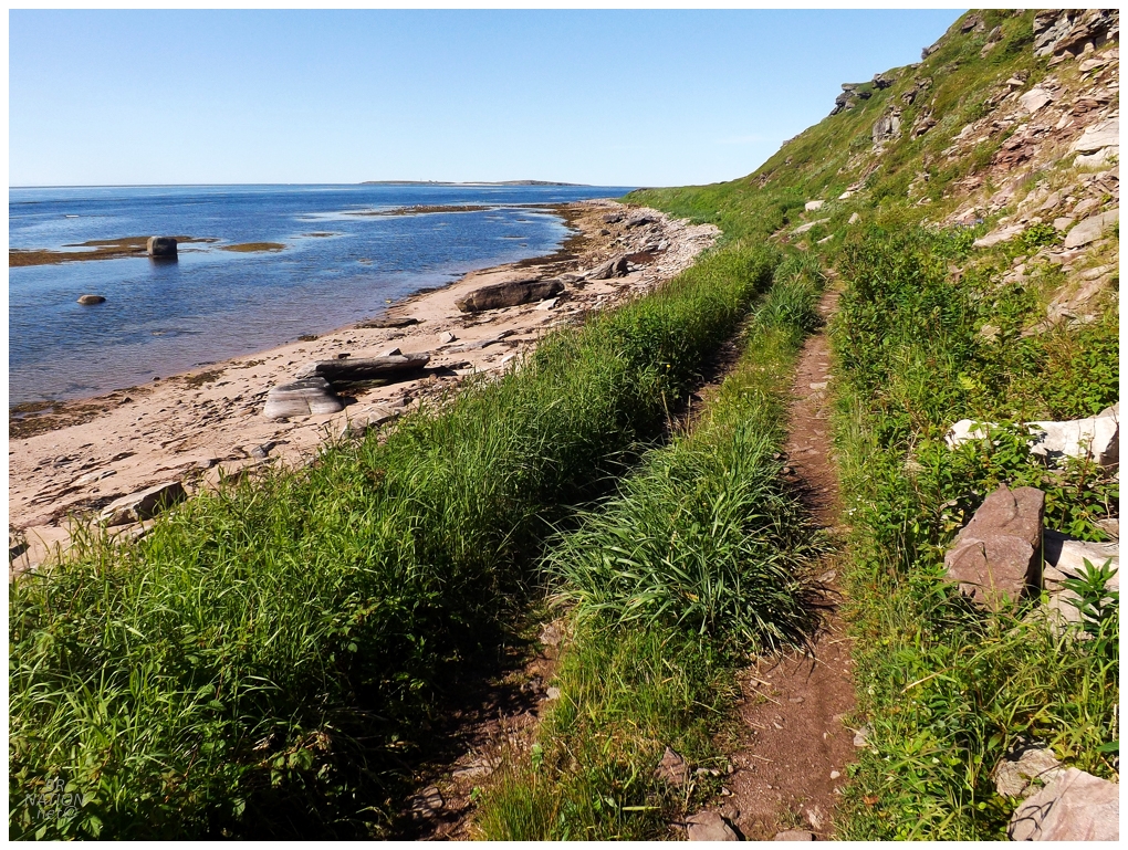
The next day we headed 40km (~25mi) north to Ship Cove, where the 7km (~4.5mi) Treena's Trail awaited us. I've long thought about bushwhacking out to the coves and camping on the western side of this tiny peninsula, and the trail's first highlight was a stop at L'Anse au Wash that did nothing to dispel this desire. |
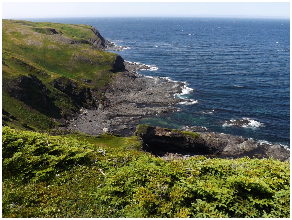
Just spectacular scenery up here at the top of the Island of Newfoundland. |
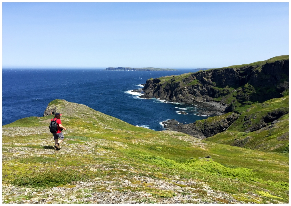
The highpoint of the trail wasn't a named peak or something high enough to claim on Peakery, but it was still fantastic. |
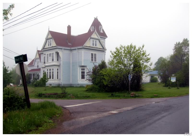
After the trail went up to that local unnamed peak, it curved down to Onion Cove and its settlement of Cape Onion; where I was happy to see the historic Adams Home (Tickle Inn) still in fine condition. Once it stopped being a B&B in 2015, I was really worried it would be left to vandals and the elements in this remote outpost. |
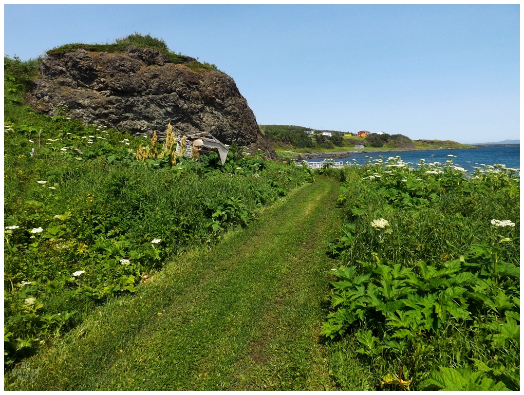
Climbing out of Cape Onion, we soon reached the cemetery in Ship Cove and then the lookout point, where a Peregrine Falcon blew past us only about 10 feet from our heads. From there, it was a bit of road walking as we went down into Ship Cove, but then I loved the part of the trail that led us near the beach and up through this mowed clearing. |
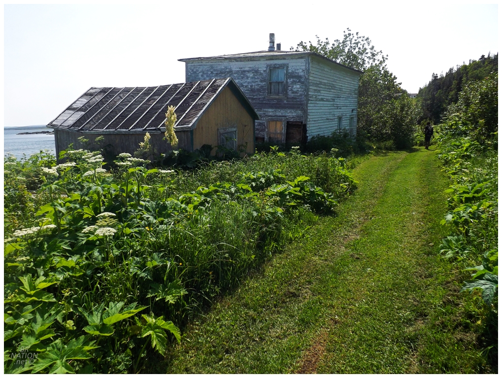
It's in this mowed clearing that I was very excited about this tucked away abandoned house. Bruce doesn't share my affinity for checking out these structures though. |
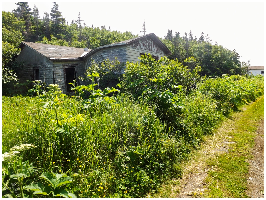
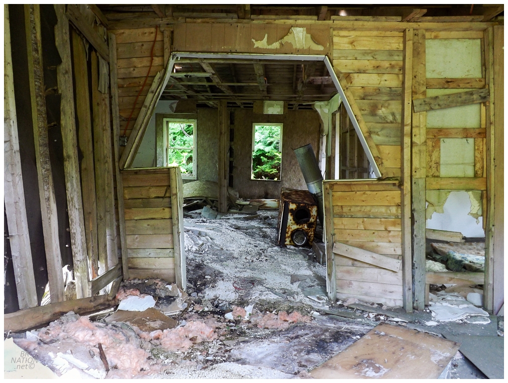
Thankfully the next one along the path was so abandoned that it was normal to peer inside. It's there that I found this robot penis entryway. Anyway, we'd wrap up Treena's Trail by wandering into the waters of Ship Cove itself - Bruce picking mussels and me just excited to walk out in shallow waters and explore new areas. (I appreciated that Bruce thought to mention that I should avoid the Portuguese Man o' Wars floating around, which have a sting that kills fish and can be extremely unpleasant to humans for 1-3 hours. I had no idea.) |
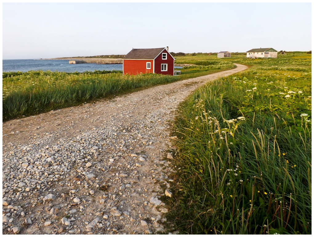
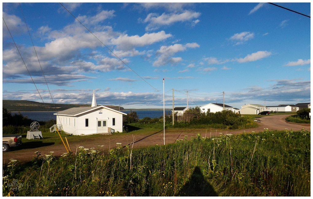
This evening we'd head over to Big Brook, a community resettled in 2004 that might be one of my favourite places on the island. It's always so tranquil when I'm here. |
Big Brook itself.
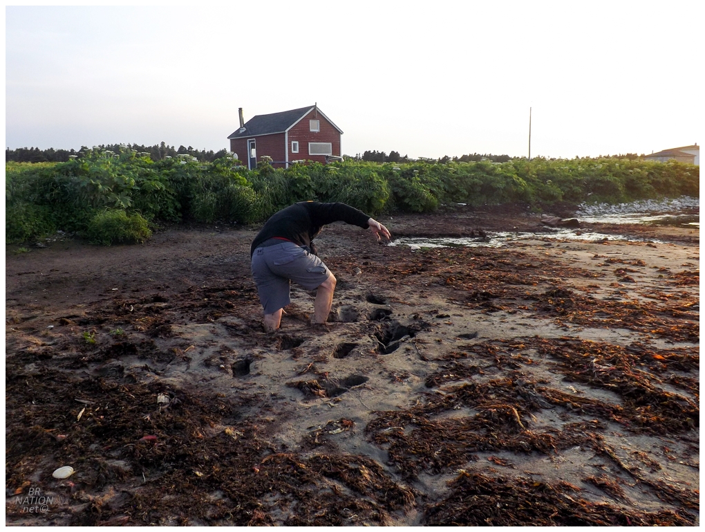
We went for a walk along the water to check out some shorebirds, when out of nowhere the sand in front of this house ate me up. It was made even worse by the fact that once my first foot went deep, I tried to race forward as I only thought it was one weak spot - and soon enough I was knee deep with both legs. Bruce was loving taking pictures of all this. |
The next trail that would fall would be the Whale Point Trail, up near Wild Bight and the northernmost point on the Island of Newfoundland (Cape Norman). |
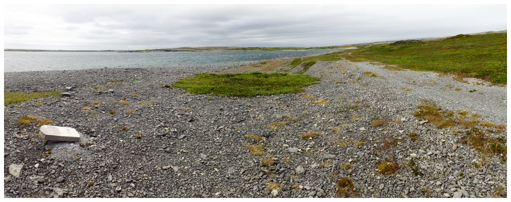
I can understand how you may not find this area as scenic as Cape Onion or St. Anthony, but I absolutely love the stark beauty with these tabular rocks and the absence of trees. If Big Brook is one of my favourite places on the island, this little nub of the NL-435 at the top with Wild Bight, Cape Norman, and North Boat Harbour ranks right up there too. |

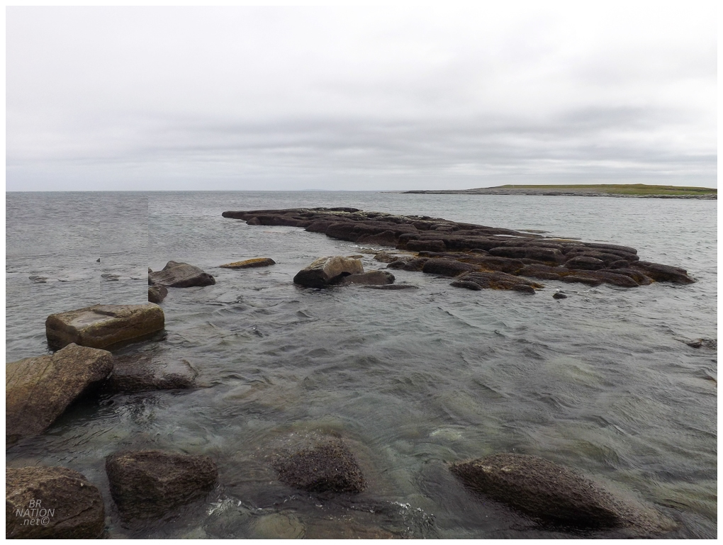
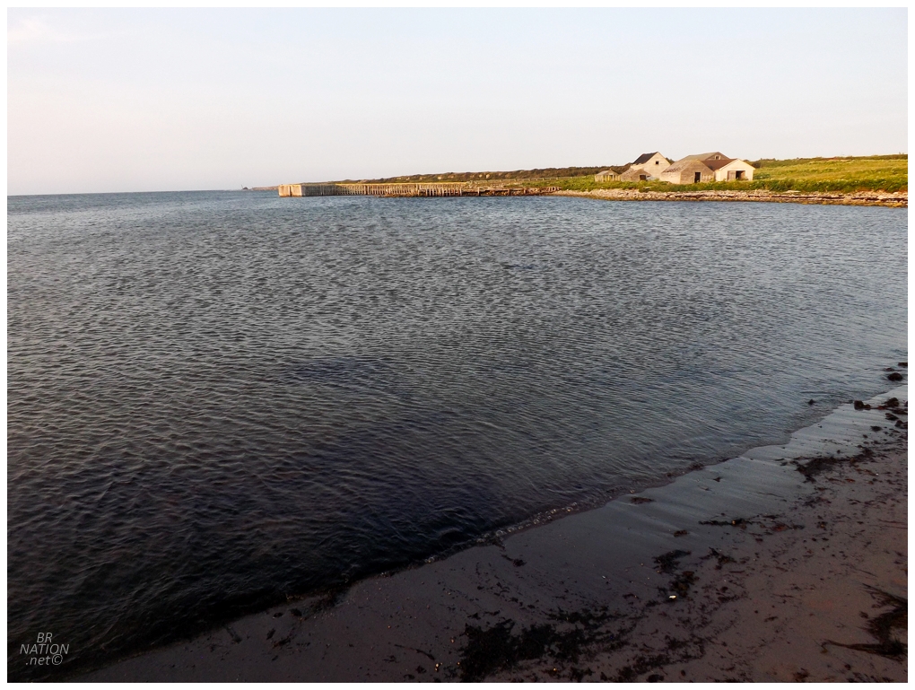
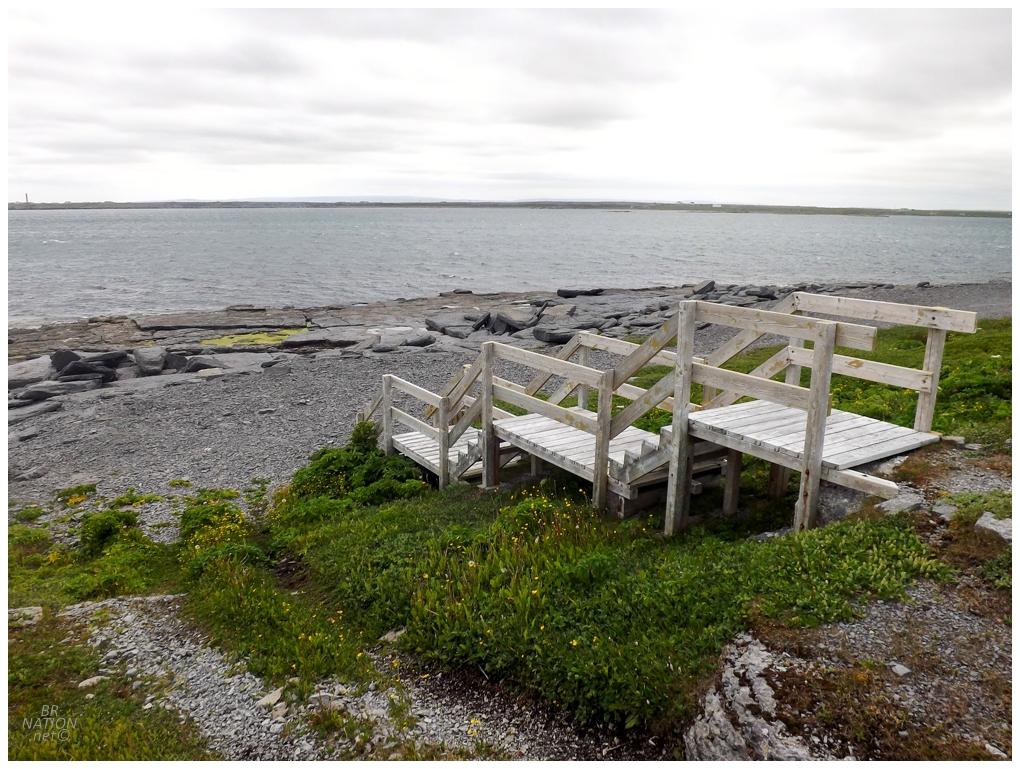
As much as I couldn't care less about seeing the ocean regularly or living near the ocean, I have to admit that there's something special about a trail that follows the ocean's edge. It's even more special when there's fingers of land so that you're surrounded by ocean, as well as no trees so you can see the humbling water all around you. Not to mention that we also found the ruins of a concrete wharf, which was even cooler than the ocean! |
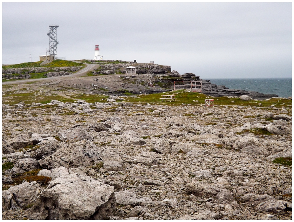
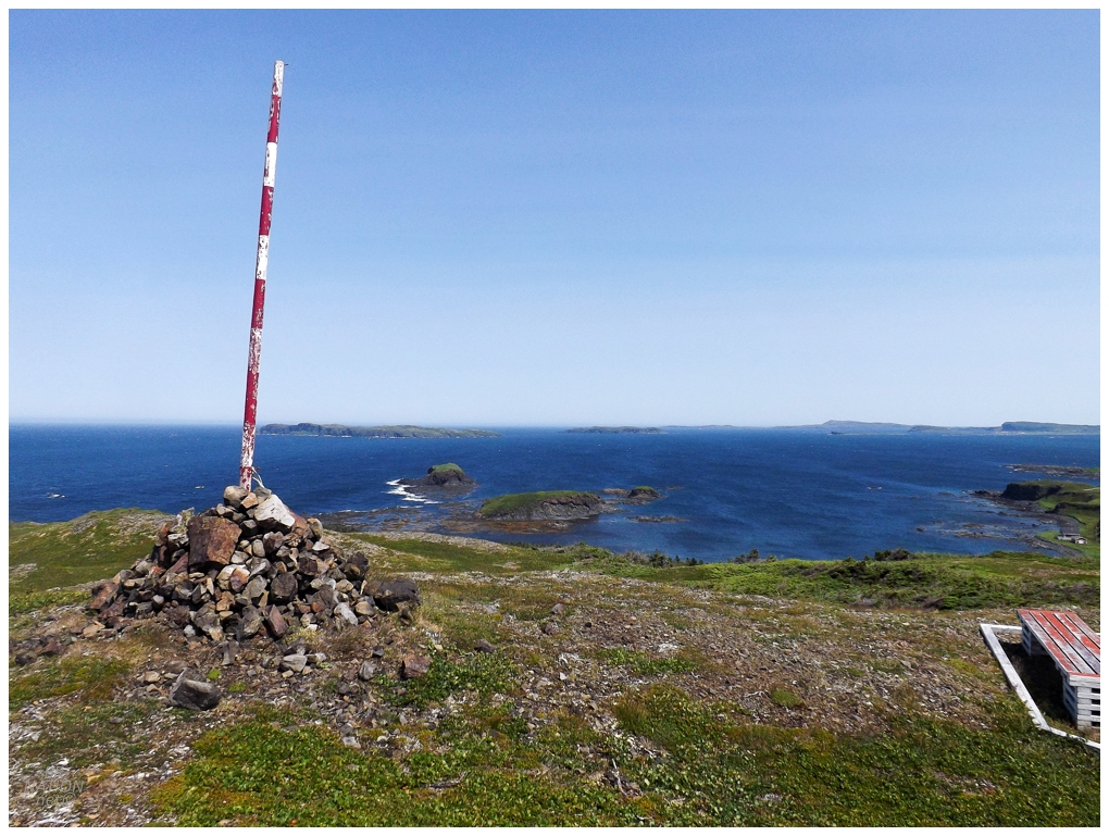
The trail curved towards Cape Norman, which I hadn't visited in over a decade. It really is one of the great lighthouse settings on the island. |
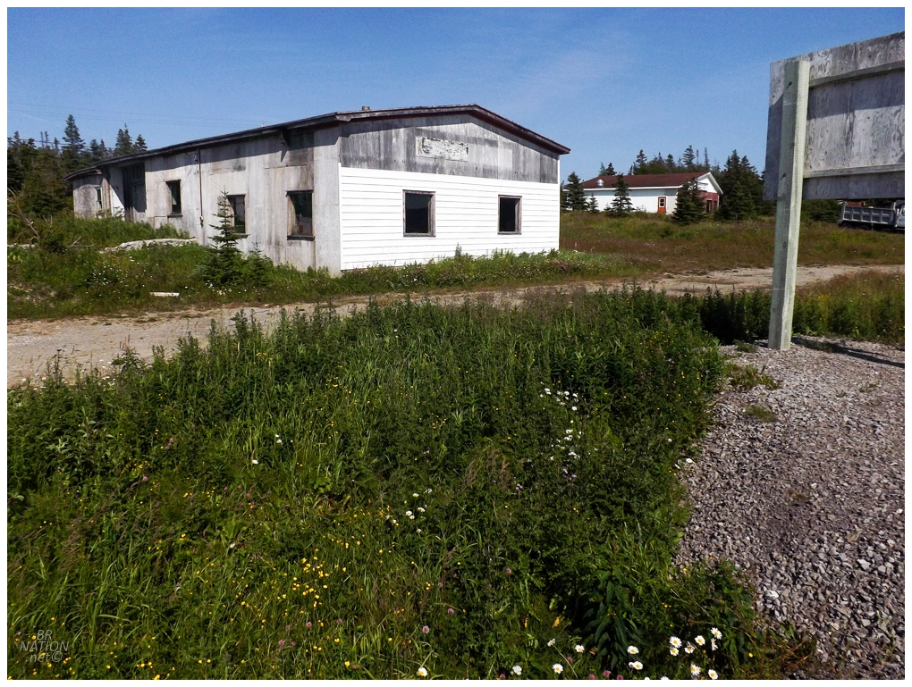
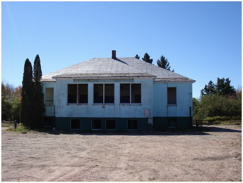
Down in Plum Point, Bruce and I went our separate ways for hiking once again, which worked out amazingly because I had a long walk in mind in order to check out an abandoned building I'd noticed. |
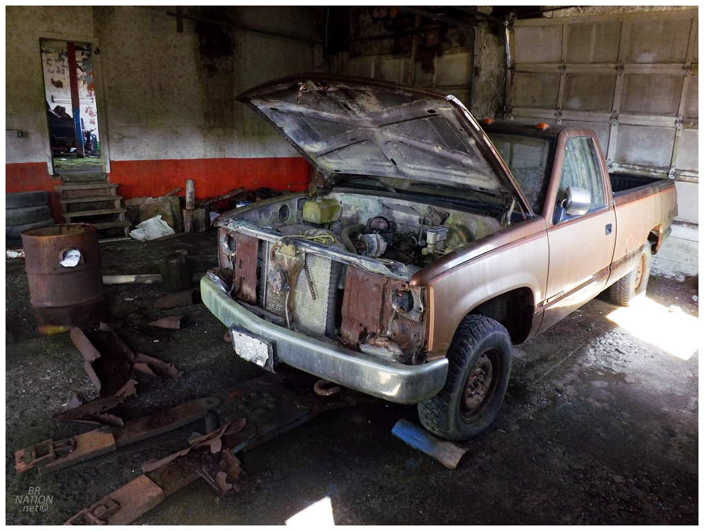
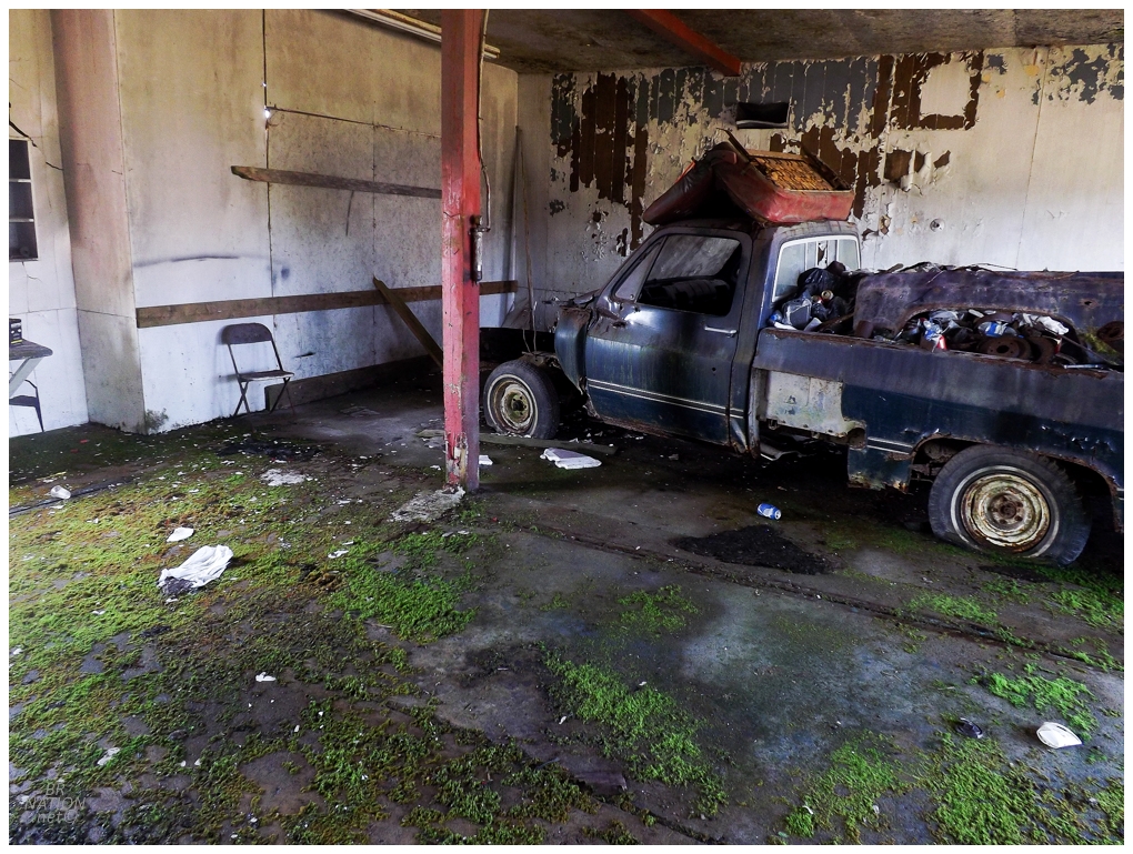
It's a bit odd to find old vehicles in abandoned buildings when it comes to Newfoundland, so this was a nice change of pace. |

It's funny how much this spot made me jealous of living in Plum Point instead of Corner Brook, as this place would be amazing to sweep out and have somewhere to ride in the winter. It would also be hilarious for my non-mechanically inclined ass to try and get these vehicles out of the way so I could ride. |
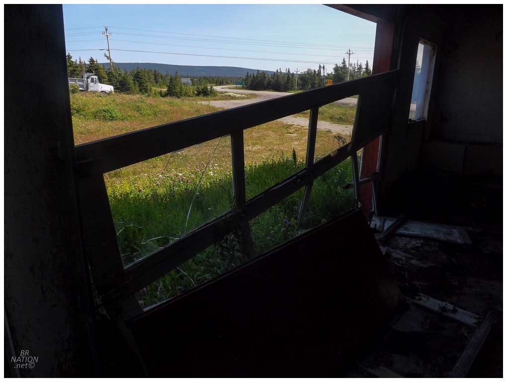
This may not seem like an important enough abandoned building to walk out here, but this is one of my most travelled Newfoundland highways, so I like stopping at whatever abandoned buildings and actually checking them out and making memories. This makes it fun for future visits up this peninsula and remembering long gone structures at all these forest clearings, in places like Doctor's Brook, Daniel's Harbour, and here at Plum Point. |
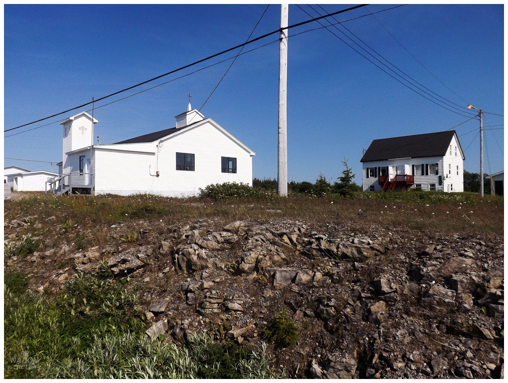
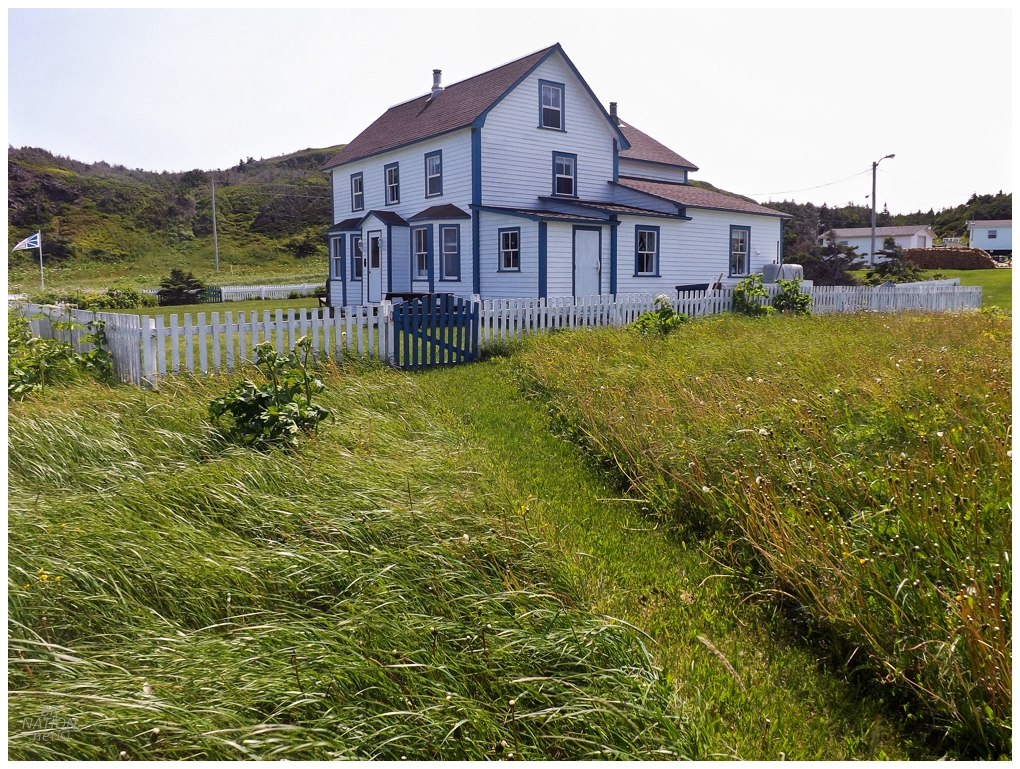
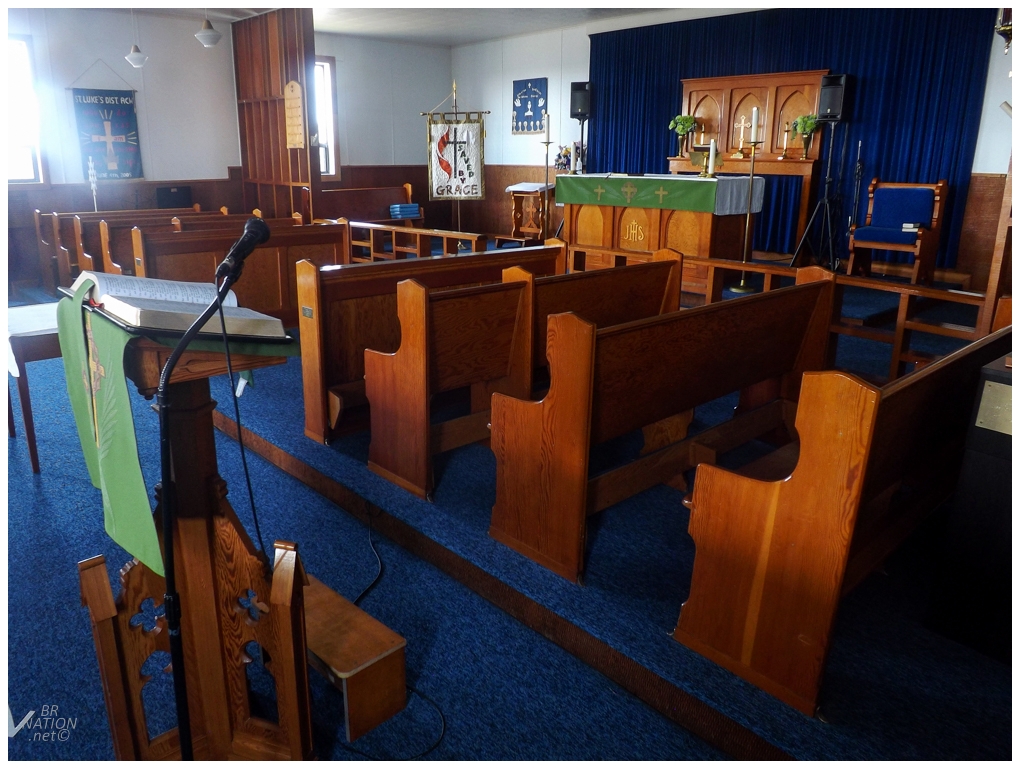
On the way back to Plum Point, I took a different route and realized I was walking past the local Anglican Church. It seemed like a good time to finally, actually document an open Anglican Church on this trip. |
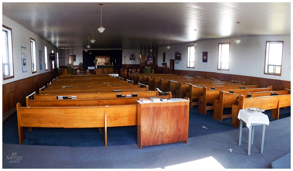
This one is also St. Mary's, just like the church in St. Anthony. |
Good times on the Northern Peninsula (and in Labrador). |