As I've said before, the Covid effect of slowing down work and giving workers more freedom didn't happen for Isy. Her work life actually went the other way, and now her availability for camping was severely hampered. Of course I can't handle sitting in Corner Brook, so off I went to camp on my own up on the Northern Peninsula. |
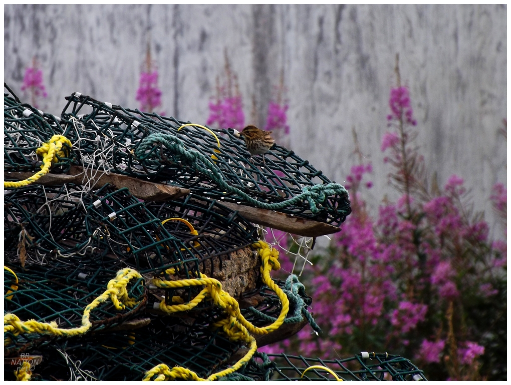
Continuing my goal of filling in the gaps where I've visited Newfoundland towns but haven't taken any pictures, I pulled on to the one street of Three Mile Rock, then bombed down a rough gravel path to their modest harbour. Poking around some collapsed sheds, a Savannah Sparrow landed on some nearby lobster pots. |
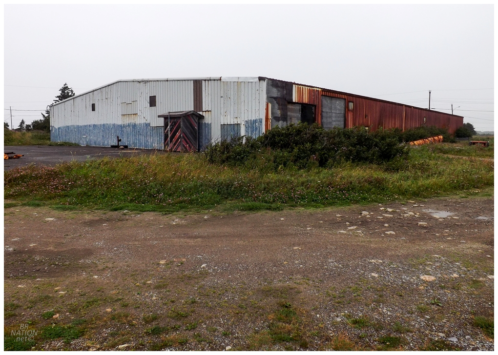
Passing through Parsons Pond and beside Portland Creek, I stopped in Daniel's Harbour to finally investigate if Stadium Road actually led to any type of stadium (or foundation of one). It's hard to picture Daniel's Harbour being big enough for an arena nowadays, but rounding a turn, there it was. The old Daniel's Harbour Arena. |

It was pretty cool to discover a new arena in Newfoundland, but there wasn't much more I could do than appreciate the outside. I peered into the small and dusty window slits, which provided just enough of a view to see the old arena was used for storage nowadays. I made a point of standing around for a bit, hoping that someone would come out like, "hey b'y, looking to check out the old arena is ya?" but I only managed to get damp and dishevelled from the spitting rain and high winds. |
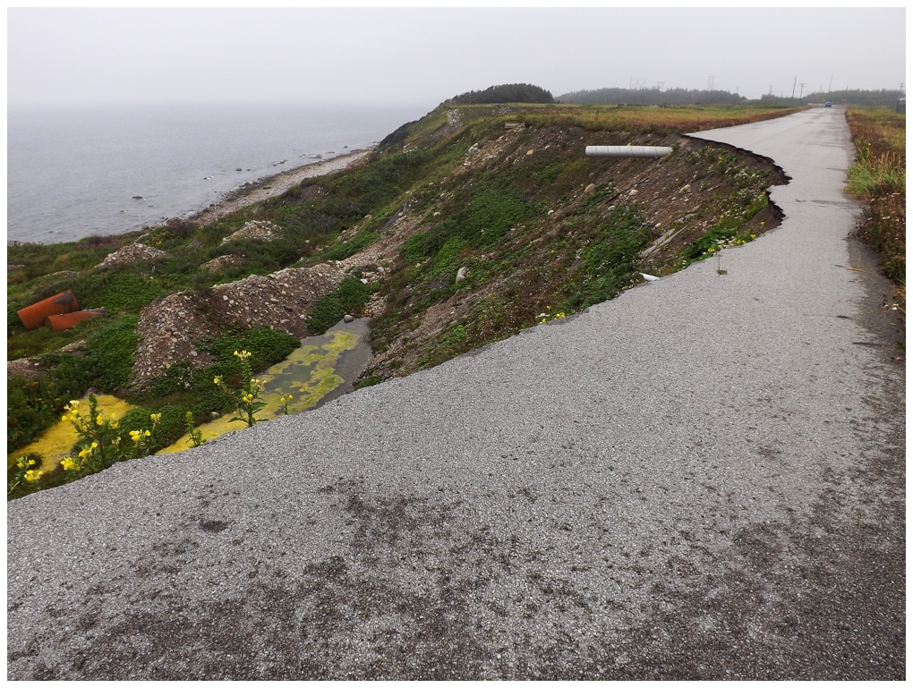
Most people know Daniel's Harbour because of the 2007 landslides that claimed a home and led to the abandonment of Humber's Garage, additional homes, and the Highway 430 configuration that went right through Daniel's Harbour (nowadays you curve around Daniel's Harbour out in the bog). Deciding to take a closer look at the closed landslide area, I couldn't help but think of how sweet a DIY skatepark would be on the part that looked more solid, lol. Plus think of the laughs you all would get when Newfoundland eventually washed my hard work into the sea! |
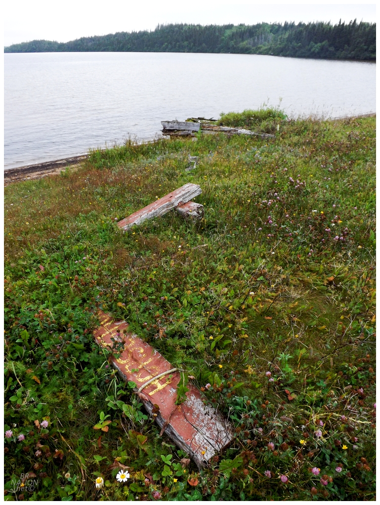
I thought the above ruins might've come from the doomed Humber's Garage that I photographed in 2008, but the two foundations don't seem to line up. |
Bird Cove, Newfoundland
After Daniel's Harbour, I stopped dilly-dallying and made some actual progress up the Northern Peninsula, so that I wouldn't end up hanging around the same parts as other recent trips. An hour and a half up the road, I turned in at Plum Point and buttonhooked back down to Bird Cove, where I'd always wanted to do the 11km Dog Peninsula hike. |
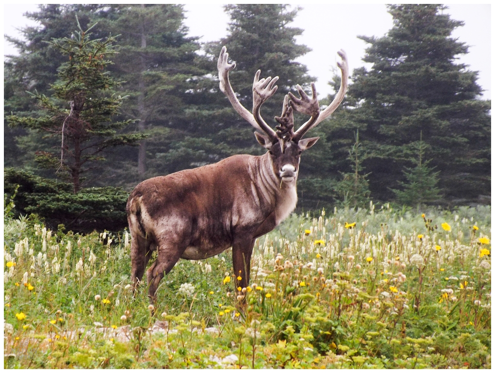
The Dog Peninsula Trail was remarkable right off the hop, as a large caribou greeted me near an impressive bridge over a little oceanic inlet of water. This specimen was big enough that it wasn't like some frail caribou I could easily ignore, so I carefully kept a watchful eye while sidling my way towards the bridge. |
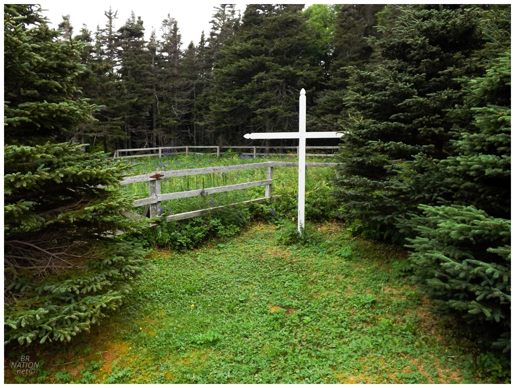
Over on the Dog Peninsula, of course I took the little side trail to the "Old Cemetery". This is the old Bird Cove Roman Catholic Cemetery. There's only three graves within the enclosure, and I only found one as I fought through the tall vegetation. |
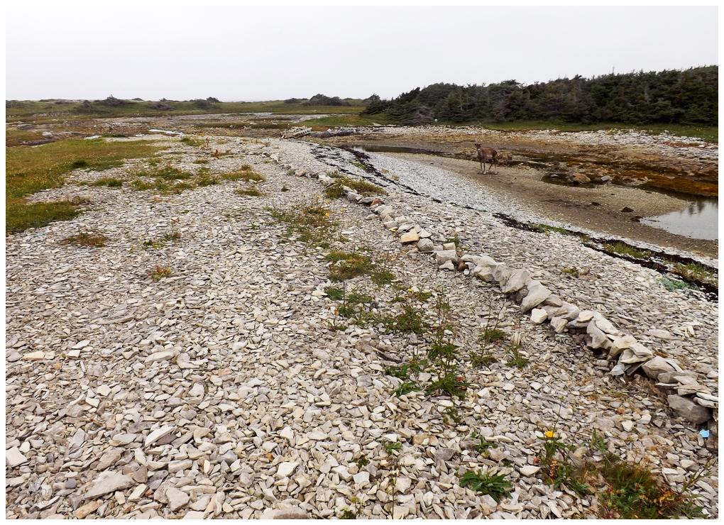
Another half hour down the path, I came to a beach where a line of rocks led me to the west and across a sliver of land dividing Dog Cove and Fisherman Cove. Another caribou guarded this further piece of the Dog Peninsula, but he was far less imposing. |

Near the trail's end at a desolate point of land, I noticed this ruined cabin up in the tuckamore. Man, this trail really has it all! |
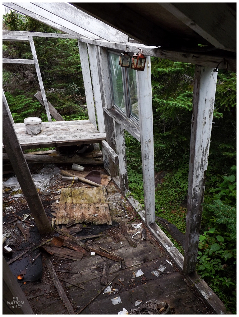
One of the main reasons I wanted to do this hike was because my friend Kim couldn't believe I hadn't done it yet. Whenever anyone finds out about something I haven't done in Newfoundland and it breaks their perception that I've done everything here, it irritates me into going and getting that thing done, haha. Not to mention, she really could have lit a fire under my ass if she also told me about this abandoned shack! |

Dog Point and the furthest point of the Dog Peninsula hike.

After the hike, I stopped at the closest thing the Northern Peninsula has to a Wawa or a Buccee's, over in Plum Point at the Irving. Grabbing a coffee and a Vitamin Water, I pondered the weird abandoned building peeking out of the woods across the street. I wish I had a nickel for every time I've looked at this building, but I always wrote it off as a shed rather than an old house (or anything more interesting). With time to spare today though, I popped over for a closer look. |
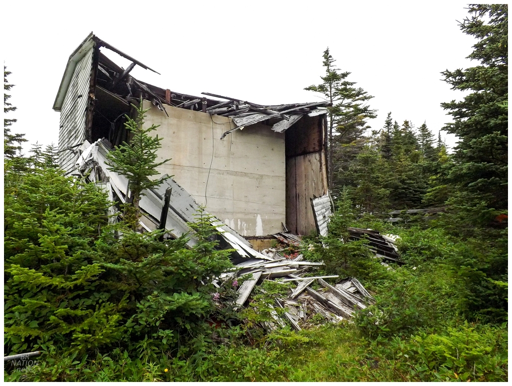
My best guess is that this is a water reservoir, but they built a Newfoundland exterior around the giant concrete box? |
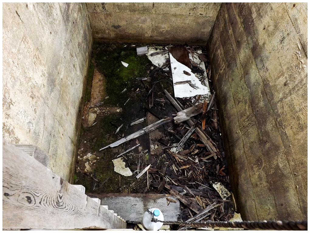
Thirsty for abandoned building exploration, I started going down the ladder, but the wooden rungs creaked and barked and I thought better of it. Wouldn't it be cute to get stuck down in this concrete box and need rescuing. |
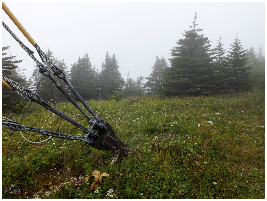
Plum Point would be the furthest north I'd make it, as I now turned south and drove for ten minutes before turning off onto the Mount St. Margaret Resource Road. I'd recently noticed that an offshoot of this road seemed to lead right up to the peak of Mount St. Margaret, and enjoying bagging peaks and the Northern Peninsula, it seemed like a great way to spend the rest of my afternoon. |

Unfortunately the distant views were obscured with fog. About the only thing that wasn't green, grey, or brown, was the eyebrows of this Spruce Grouse. |
Purple thistle and yellow wire guards make a liar out of me.
Mount St. Margaret isn't exactly the Matterhorn. It's more of a rounded hill with a CBC tower on top. I wandered all around to make sure I bagged the summit, then tried to give the fog a chance to lift just for a quick glimpse of my surroundings. Giving up on the fog going anywhere, I rumbled back down the two-track towards the car. |

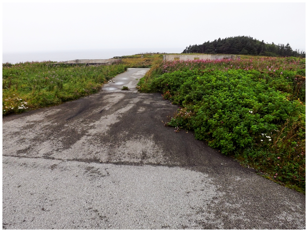
Another reason for stopping at Mount St. Margaret was the nearby abandoned provincial park just a couple of hundred meters from where I parked. This is Three Mile Lake, one of the provincial parks closed in the first round of provincial park cuts, where 29 parks were closed or privatized. |
This was a pretty nice spot in a convenient location, leading me to think about future trips with the missus and the dog and being able to rough camp here like others seem to do. The only problem is that the government finally decided to do something with all of these old provincial park properties. People were able to purchase or take them over from the government - something that's happened here as a local owner has now started Three Mile Lake Campground, RV and Day Use Park Inc. as a day park for now, with hopes of installing sewage hookups for RVs in the next year or so. |

I still had an hour before I'd have to find somewhere to camp, so heading south along the NL-430, I broke the mountain bike out and went for a short ride along the highway. Even if it is piece-by-piece, I really would love to ride the entirety of the post-Gros Morne Northern Peninsula highway someday (you couldn't pay me to deal with the hills of Gros Morne). Today's ride would be cut short as my wheel increased its wobble as I got further and further from the car. After dealing with speed wobble because of broken forks just a few months ago, I was getting really annoyed with the delicate and finicky nature of mountain bikes. (It turns out that a mountain bike shop sold me a wheel that was way too weak for my weight and occasional gravel riding. It was something like 24 or 26-spoke and by the time I noticed this wobble, it's because the spoke nipples were burrowing out of their holes in the rims.) |
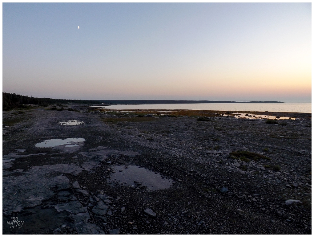
Just north of Eddies Cove West, I found a small side road with one of those signs that says the road is no longer maintained by the Department of Transportation and Works. Knowing that these signs lead to good things, I banged a right and bumped over the rocky road and down to the ocean, where there were only a couple of sleepy cabins and no one around. This worked pretty great as a spot to throw up the tent and have a small bonfire, all while peering off at the lights of the sleepy village of 41 people off to the south. |

The next morning I'd ride one of the best spots in all of Western/Central/Northern Newfoundland, before then tackling the drive home. |