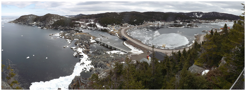
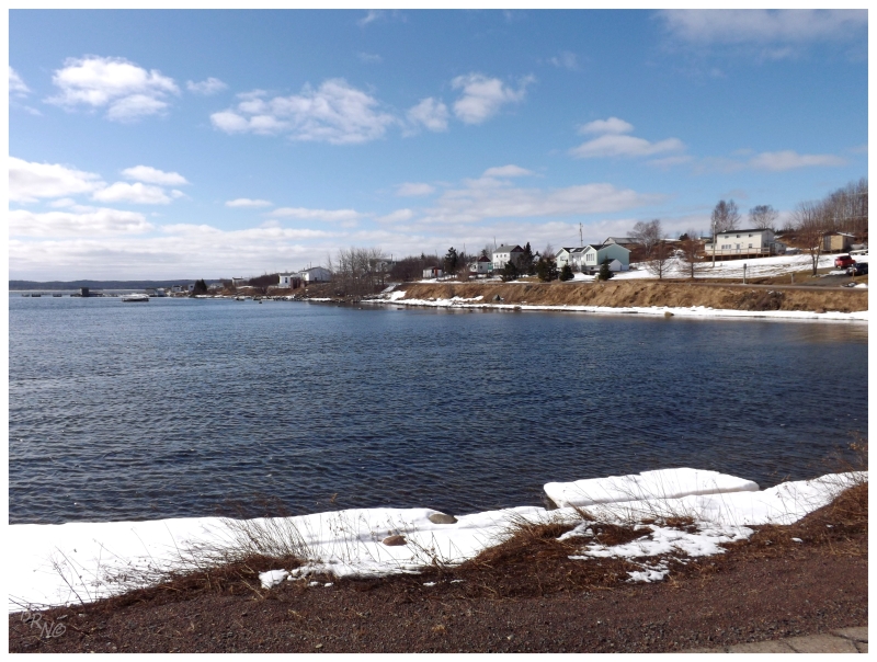
Even with big plans in store for the near future, I couldn't help but go on a small weekend trip in March. About two hours from home, I finally ended up in Brighton, a town which I've found interesting for how it's three islands connected together by causeways and roads.
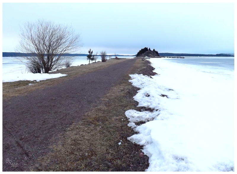
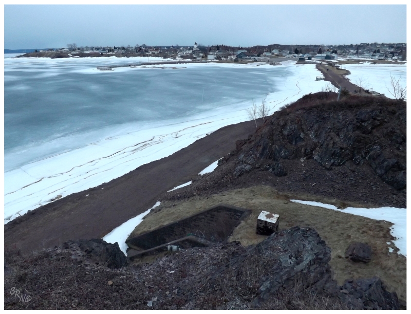
Having skipped the lookout trail last time I was in town, I made sure to get up there on this comfortable winter's day.
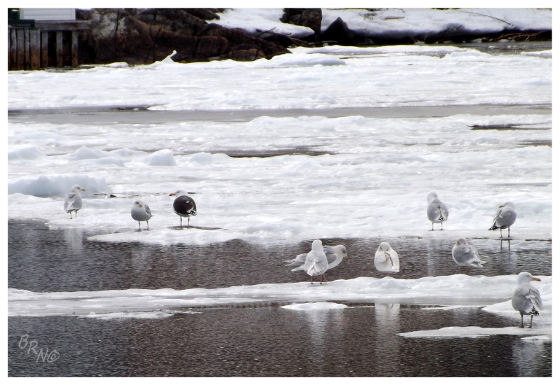
If you're wondering why I drove 106 kilometers out of my way to go to Brighton, it surely wasn't for an Ivory Gull. Especially seeing as non-birders would think it very peculiar to do this for the 5th gull from the left - only notable because of its ivory back as opposed to the more typical grey or black back.
In fact, Ivory Gulls are actually pretty cool looking birds, but this particular ivory jerk kept to the distant, inaccessible middle of the harbour; letting the boring Herring Gulls block my sightline.
Regardless, if someone was into birds & this would be a new bird to them, I'd have to think it would be worth driving 106 kilometres (66 mi).
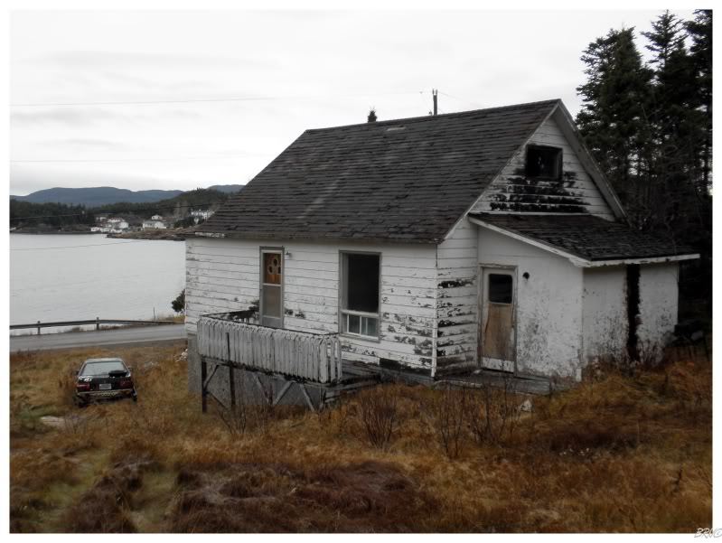
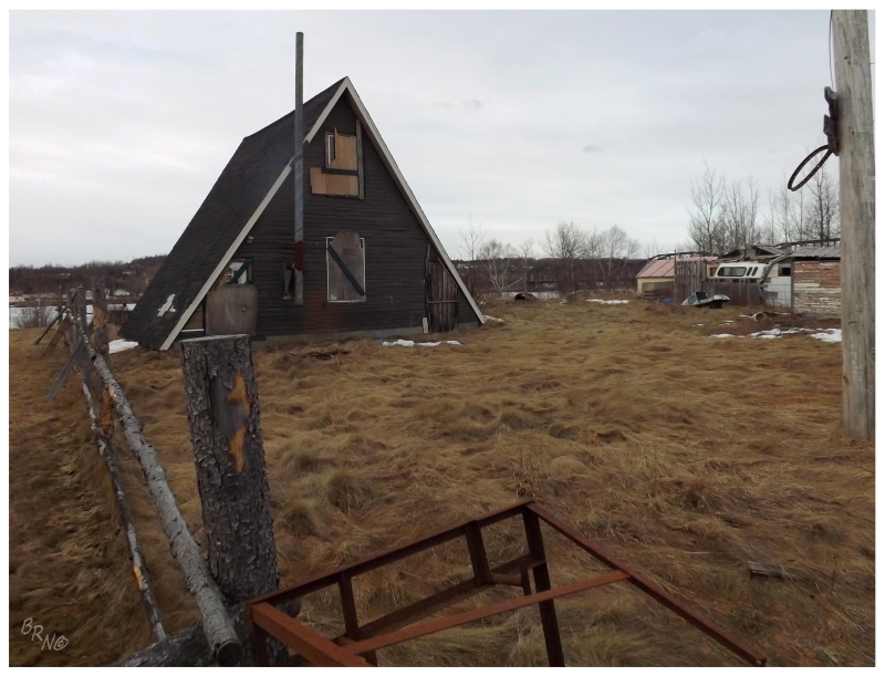
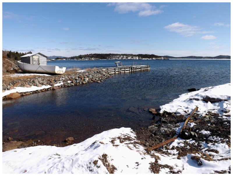
There was also additional value in visiting Brighton in that I could check on the house I explored for my birthday in 2010 - and find that not one sign of it remains today.
If I would never have went about noting this house in 2010, I would never have noticed it missing in 2013. This was an interesting eye-opener as I wondered about disappearing houses in all of these slowly shrinking outports, where an outsider would rarely, if ever, notice the short-term change.
Returning to the car, I pulled down a side street, towards what I thought was a strangely located convenience store; hungry for some Intense Pickle Doritos & Pineapple Crush. Striking up a conversation with the shopkeeper about the tucked-away location, he told me that it was because the store had been there before the street network of Brighton was constructed. He pointed to a trap door which led to a ramp where goods would be pulled into the shop from the harbour out back and explained that citizens would have came over by boat to get their supplies from the store. He even had an old hand-painted sign which he proudly hung from the ceiling over the aisles.
All of this made me very happy that I stopped at this particular shop instead of the cookie-cut Western Petroleum Gas Bar along the highway just before Brighton.
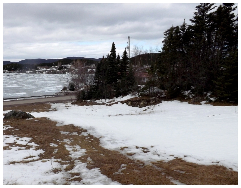
Leaving Brighton, I returned down Route 380 to the eastbound Trans-Canada Highway.
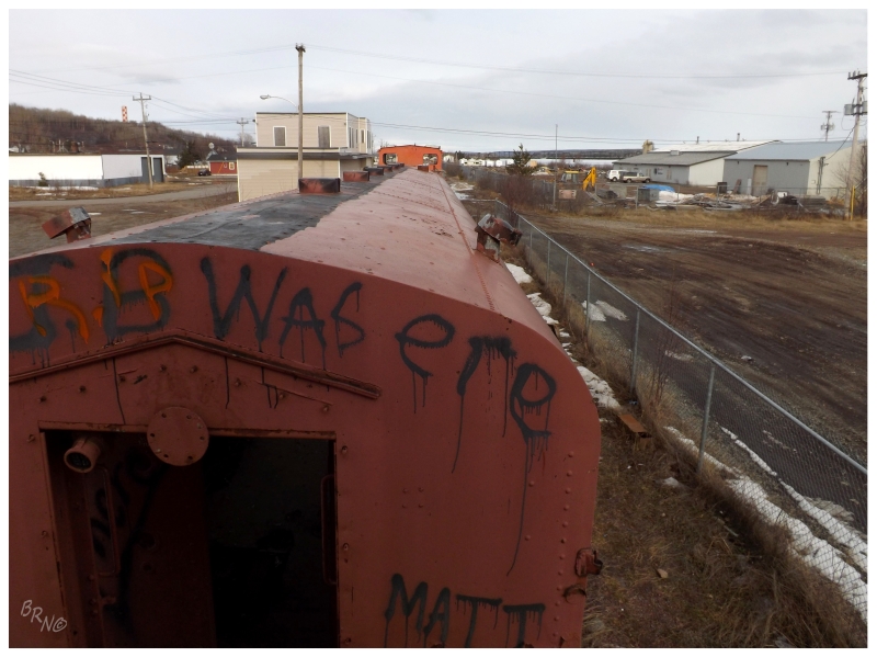
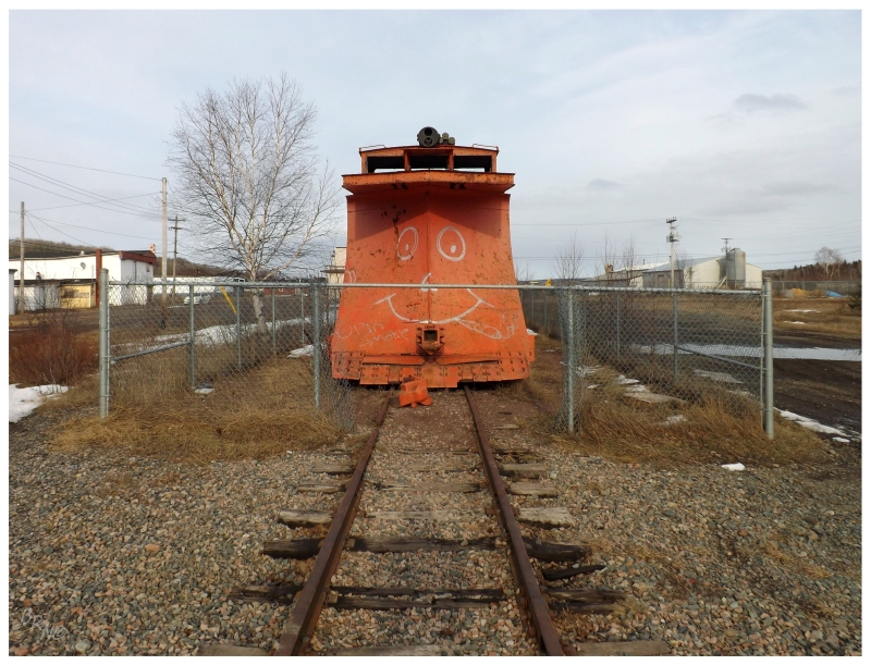
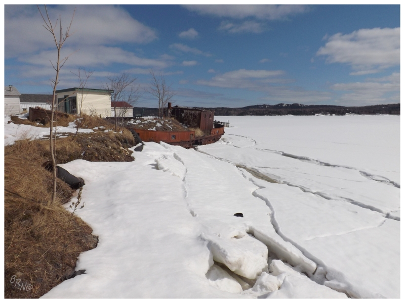
Eventually pulling into a town I had only previously explored in a very limited manner, I happened upon these train cars as I drove a few more of the town's streets.
I couldn't help but park the car and take a closer look.
I was fascinated with how accessible yet forgotten they were, sitting very close to the center of town in full view of a handful of houses.
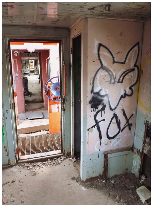
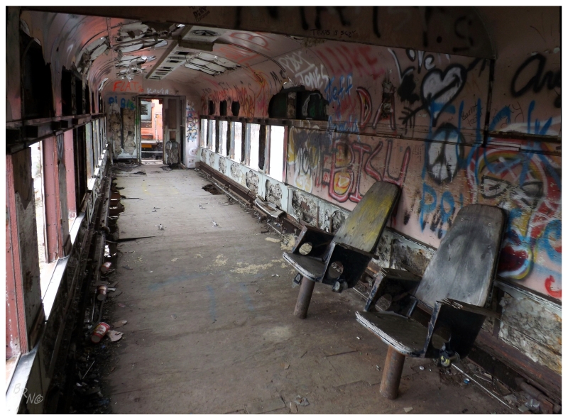
There's a train museum in Corner Brook where I regularly see a surprising number of people visiting and taking pictures. One would think that the same thing could happen here, but then again, I believe these train cars sit here after a failed museum venture.
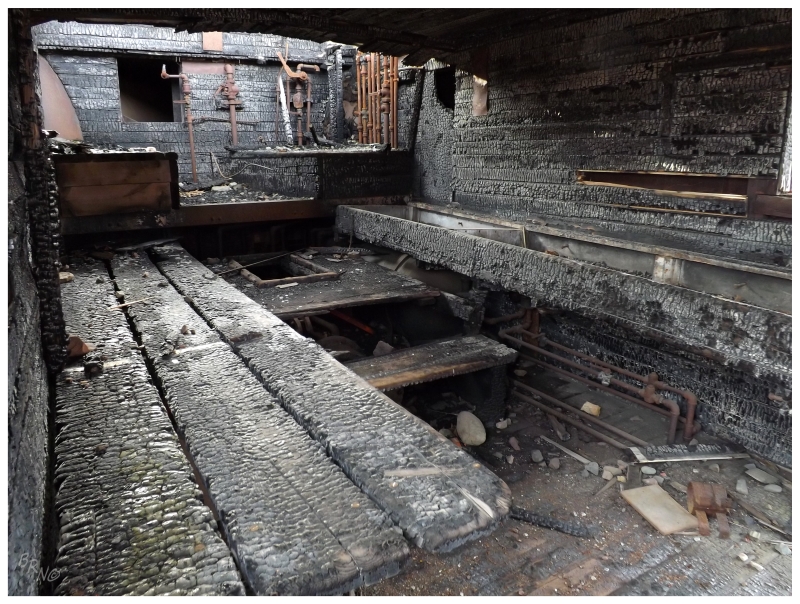
Also, when you have rubes setting the engine car on fire, that might consume a bit of your operating budget.
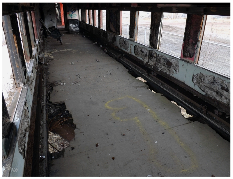
I think I was amazed the most by the fact that I'd never heard about this train or seen pictures of it on the internet before. This is somewhat strange considering how much time I spend researching/surfing on the internet; to stumble upon something fresh on this island which I didn't know about previously.
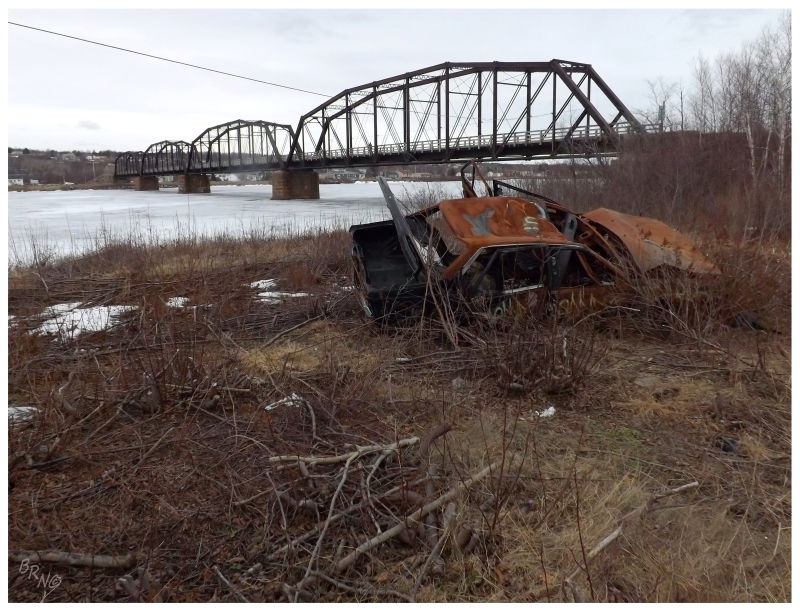
We continued on to the community of Bishop's Falls, where I've always wanted to take the time to walk across their train bridge that they've converted into a pedestrian walkway.
Constructed in 1901, the 300 meter/1000 foot bridge you see above, was completed after three other bridge attempts failed at the hands of the mighty Exploits River.
Even though it had taken me about 5 years to finally make it across this bridge, it was well worth the effort. I even found that the granite support blocks - quarried at Gaff Topsail - were quite attractive as one moved from beside the Exploits to over it. In addition, the bridge allowed me to get to the other side and capture the scene you see above. Something that I'd really love to put online without a caption & have people guess was taken in Camden, Gary or East St. Louis...
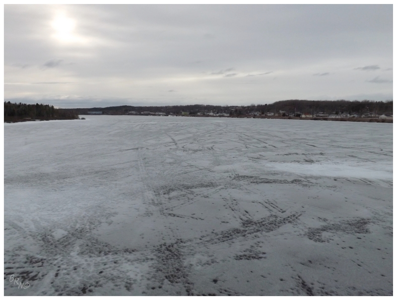
The Exploits River wasn't so mighty in its frozen state, but you get the idea.
The other side of the river, Bishop's Falls South, wasn't just that burnt out car. There was more desolation and deterioration over there, but as I never knew anything about this side of the river I treaded lightly, wondering which of the houses were occupied and why things were so rough on this side of the water.
Then again, it isn't as if to say things are all sunshine & lollipops over in Bishop's Falls either. It is certainly a town where you can see some signs of decline.
Bishop's Falls would be as far as we'd go on the Trans-Canada Highway, leaving it for Route 350 up to Botwood.
Once a room was acquired at Botwood's interesting inn in a 1940s merchant house, it was time to rush back into the streets to explore the unique sights of this central town while there was still some daylight.
What makes Botwood so unique? Well the deep bay which reaches past Botwood made it an early hub of shipping & seaplanes. The area would grow into a military base as the Canadians made an agreement with the Irish and the English to establish a seaplane airbase for transatlantic flights in WWII. In fact, a German ore ship was here trading when war was declared, and since it had a malfunction at the time, the Canadians & Newfoundlanders boarded the ship and sent the crew to a prisoner of war camp in St. John's. This was the first WWII act of war in North America.
Now that the air force and most of the industry is gone, you have pleasant old homes/businesses, along with interesting bits of industry left behind.
I was also quite intrigued with 'Lighthouse Road' - until Botwood was visited by the Google StreetView car and I saw what you see above.
Although I knew that there wasn't an old, incredible lighthouse to count here; as it's right in town & there'd be about 1000 pictures of it on the internet if it didn't look like the above modern tower.
(There's also lighthouse websites for this type of thing; which is why I'm quite certain of my count of 79 for the province.)
The endpoint of the walk was Killick Island, a small piece of land connected to Botwood by a causeway, where the military built four bunkers for ammunition storage.
I've covered these bunkers before.
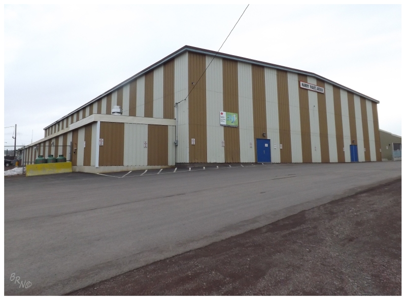
The next day, or the night before, would have been good for Botwood skating, but both times there were private rentals and no sheets of paper stating when public skating would be happening.
So the Harry Ivany Arena remains a mystery. The exterior is fantastic though.
Anyway, come Sunday, of course it would be a bluebird day when we needed to get home. As there was still some time for dawdling, I used it to see two of the last places I hadn't seen in this area.
I drove all of Route 350 up to Leading Tickles back in 2009, but didn't turn off onto the side highway for Pleasantview, as I didn't know about anything there.
Once I started checking off all of the towns on the island, Pleasantview remained an peculiar outlier, as it wasn't that far, but I still hadn't managed to go there.
So I drove 25 km north from Botwood, until turning right on Pleasantview Road for another 8 km, then partaking in the pleasant view (the pleasant view over Paradise Cove to be specific - someone really thought this place was the bee's knees!)
Pleasantview was actually number 714 as I had to go through Bobby's Cove to get to Pleasantview.
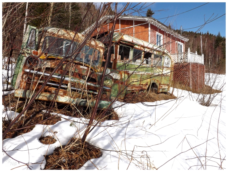
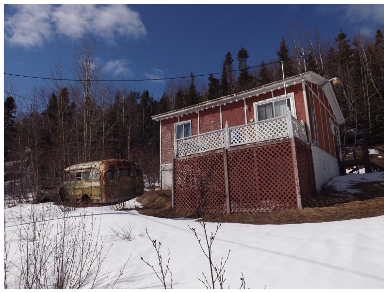
So I stopped at this bus in Bobby's Cove to do something there.
The only thing inside was a card table. I suppose the picture is worth the shin-deep snow I had to wade through.
The trip was finished up with a drive through Point Leamington (above) and up to Leading Tickles, but since I've already been there, there's no need for additional coverage at this time.