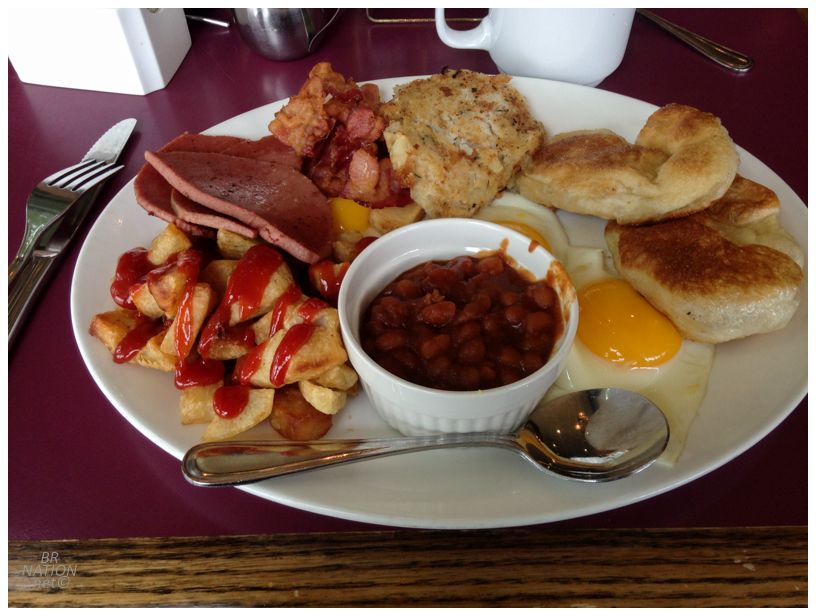
Now that it was the weekend and I'd had my fill of the Burin Peninsula, I was in touch with my friend Rosie to check in on her weekend plans in St. John's. As luck would have it, her and my other friend Katealynn were planning an overnight hike somewhere on the East Coast Trail. As neither Rosie nor Katealynn are slouches on the trail, I made sure to stop at the Marystown Hotel in order to fuel up on fish cakes, bologna & toutons. |
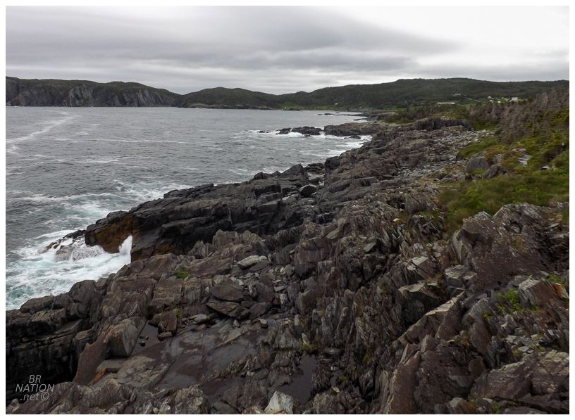
To those unfamiliar, the East Coast Trail is a spectacular network of trails surrounding St. John's, following the coast from down in Ferryland all the way up to Topsail Beach in Paradise. Overall it's 25 separate trails covering 336km/209mi, ranging from the 3.8km/2.4mi Silver Mine Head Trail, to the 20.4km/12.7mi Spurwink Island Path. Today we would tackle the Flamber Head Trail out of the village of Brigus South. This trail measures a reasonable 12.9km/8mi as it heads north to its terminus at La Manche. |
As Brigus South is a fishing community, this means that the trail obviously starts near sea level. So even though I had plenty of calories from breakfast, as the three of us met up and quickly set off, I was trying to both climb a hill, while also having one of those frantic conversations that you have when you haven't seen a good friend in a long while. Talking about random minutiae, it would go something like, "so, the dog" (gasping for air) "he eats our books if" (gasp) "if we leave him" (gasp) "alone, because he's like a" (gasp) "petulant teenager." It was fun trying to keep up with Rosie and Katealynn's pace through this. |
We also chatted about how I'd just been on the Burin Peninsula, with Rosie being at a party last night and telling a mutual friend that the Burin was what brought me to town. This mutual friend replied that she doesn't know if she ever needs to go back to the Burin, lol. And here I couldn't believe it had been 5 years since I'd been! |
As we switched up the hiking rotation, Katealynn was talking about her recent, unbelievable trip where she backpacked in the Outer Hebrides (Scotland) for the last 6 months. Hearing that I like the starkness of the Northern Peninsula she said I'd love the Outer Hebrides, with the added bonus of abandoned villages you come across along the way. And while Katealynn isn't much for lighthouses, I know lighthouses exist in the Outer Hebrides and hooooooly shit do I want to replicate her trip now. |
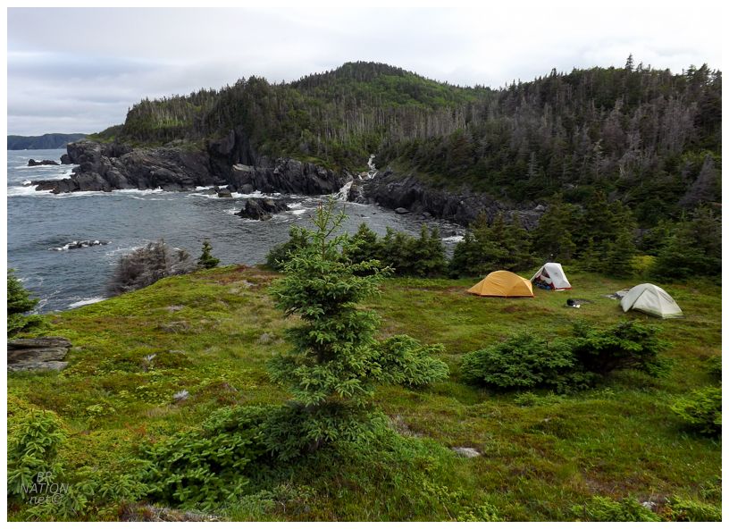
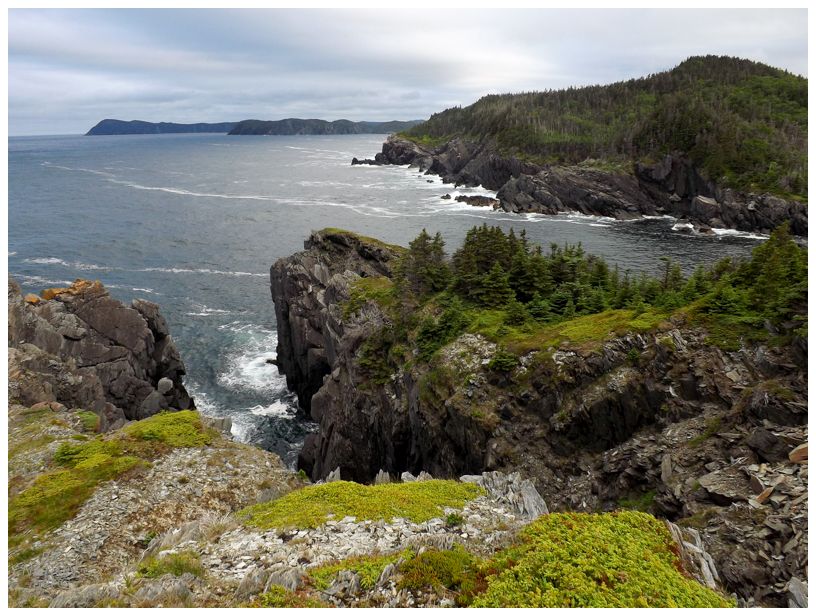
One of the main reasons Rosie chose Flamber Head was this great campsite out on a plateau with the ocean all around. There are some campsites back in the woods too, but who would want to camp back there? Just a marvelous call on her part. |
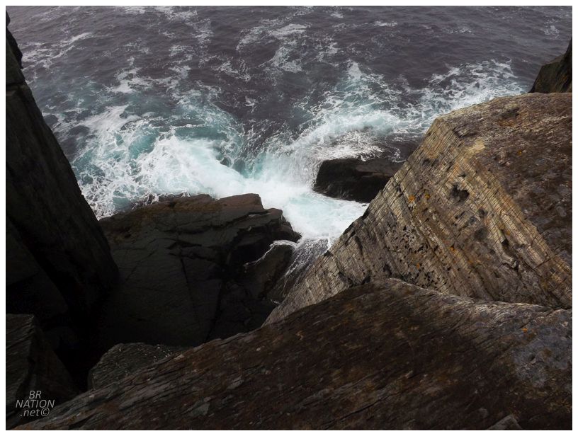
Little Comfort Point, a headland next to our campsite.
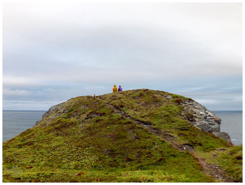
We didn't have that far to go today, so we made it to the campsite with plenty of daylight. Following the group up a nearby outlook trail, I'd carried a couple of Narragansetts all the way back from New England to the Burin and then to here, which always amuses me when I bring locally iconic American beers that you can't purchase in Canada to weird spots like Sandbanks in Burgeo, or here at Little Comfort Point on the East Coast Trail. |
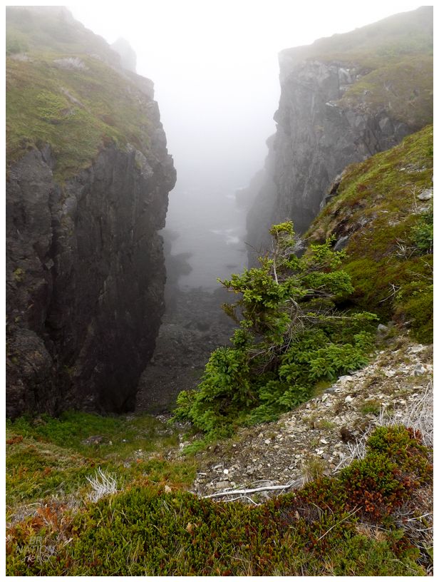
The morning woke foggy, but it was a pleasant temperature for hiking. |
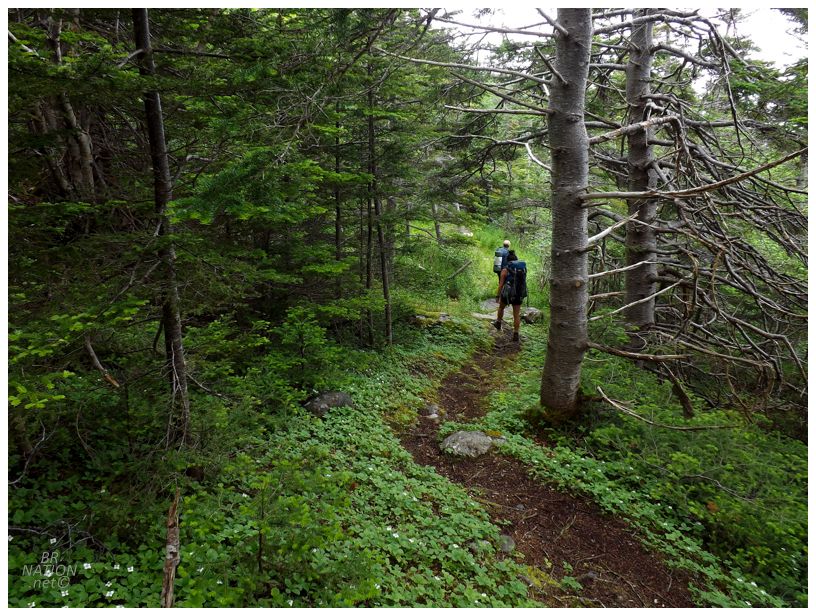
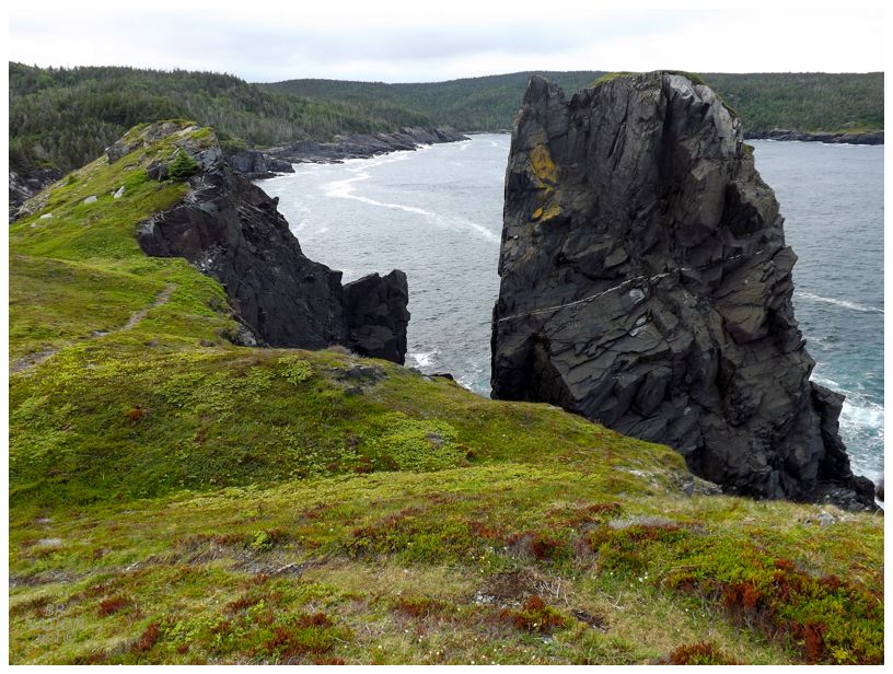
Yesterday we covered a measly 4.5k, leaving us to cover 8.5k today. We were now on top of the ridge though, plus warmed up from yesterday, so we knocked it out with little trouble. |
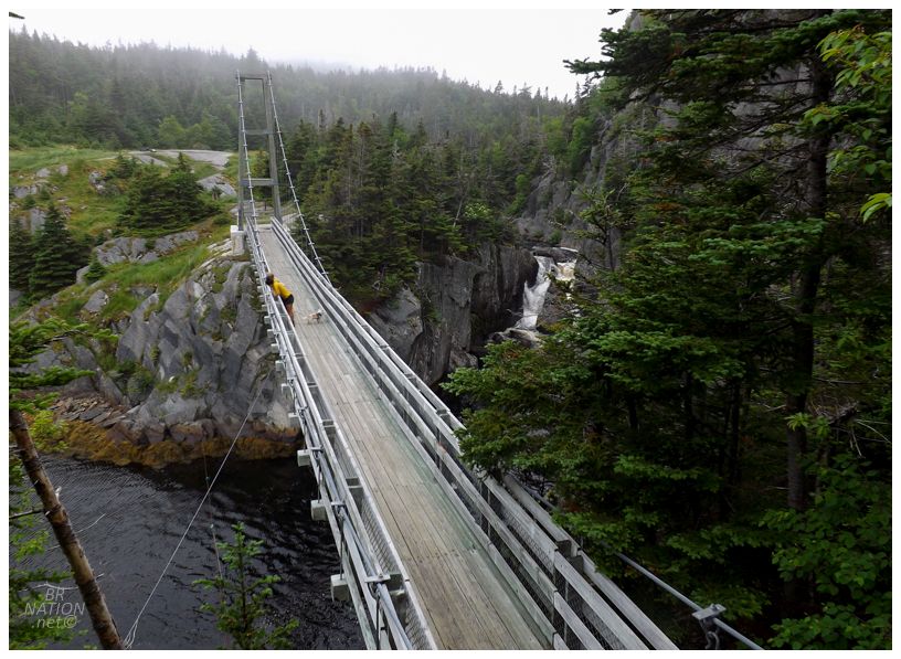
Nearing the end of today's hike, I finally saw maybe the most famous abandoned locale here on the Island of Newfoundland: the resettled village of La Manche. It's not that La Manche is anywhere near the most impressive abandoned thing here in Newfoundland, it's actually a matter of its proximity to St. John's, beautiful setting, and the daunting suspension bridge across the harbour. This bridge is even more celebrated because of the lack of noteworthy bridges in the province. |
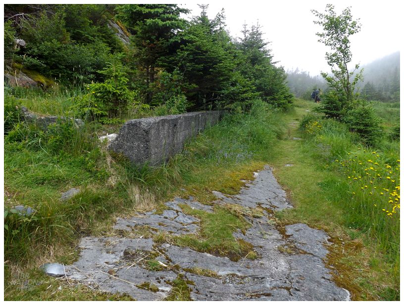
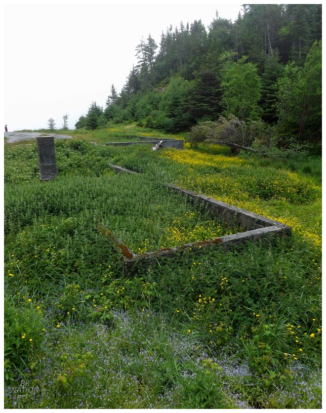
I always thought La Manche's suspension bridge was neat enough to stop in "someday", but didn't make a priority of it at all. Except that today I discovered there's actually more to La Manche. Instead of only having a cement foundation for the church and maybe the school like many resettled communities, a few of the residents also had cement foundations here in La Manche. This means that there was a lot more remaining to the town than other places. |
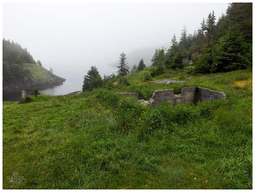
La Manche comes from the French word for "the sleeve", a reference to the narrow harbour and sharp cliffs that surround the community and limit the available space for homes and fishing sheds. This lack of space meant that the population never went past 54. The residents were determined to stay here and resisted resettlement though, with 25 people still remaining by 1961. |
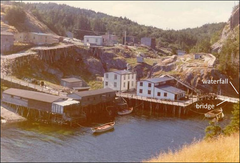
La Manche, circa 1964. Courtesy the Maritime History Archive. Annotation is mine.
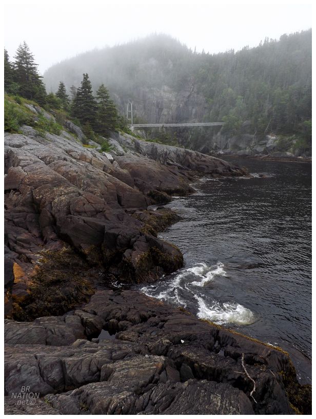
Looking at the current bridge, built by the East Coast Trail Association in 1999.
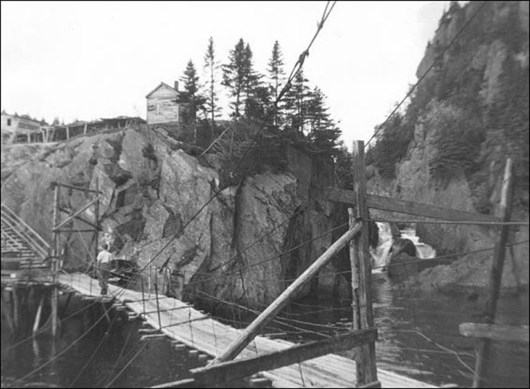
La Manche bridge, circa 1964. Courtesy the Maritime History Archive.
A remarkable thing about La Manche was that the north side of the harbour dropped so steeply into the sea, that the residents had their own suspension bridge connecting the two parts of the village. It's over this bridge that kids would walk 5 miles to school in Tors Cove before 1919, and also after 1949, when Newfoundland joined Canada and the La Manche school closed because it didn't have the required 11 students to keep a school open at the time. |
La Manche's suspension bridge, while making the community noteworthy, also played a role in its eventual abandonment. A ferocious winter storm hit these shores in 1966, washing away almost all of the wharves, stages and fish flakes, as well as the community bridge. Instead of rebuilding, the residents decided they had enough and took the government resettlement package. |
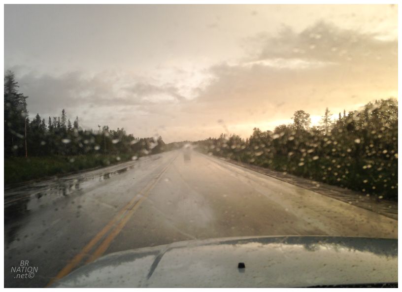
From La Manche, it was only a short 20 minute walk up to the parking lot where my car was waiting. Driving Rosie & Katealynn back to Brigus South, we said our goodbyes and I was on the road by 2 or 3pm. As for driving back, away from some rain near South Brook, it was smooth sailing across the island. |
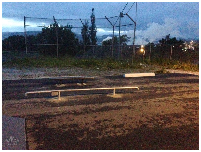
For some reason I went to check on the skatepark when I got back...and what did I find? The flat rail they'd been promising us for nearly two years finally came to fruition! Recently someone had been writing in chalk on the back of the ramp, facing all of the ballplayers and dog parkers, a counting clock concerning this flat rail, "21 months since the city promised us a flat rail ┌ ─ ─ ┐", then "22 months since the city...", etc. As it turns out, some private citizen saw the writing and decided to step up to the plate and as so often happens in this city, fill in the gaps that the 19,600-person town doesn't have the tax base or manpower to cover. |
With Corner Brook finally joining the ranks of Bell Island and Benoit's Cove by getting a flat rail, I just had to break it in right then and there. The best part of this was that I later heard from Shelloo how Rosie texted that she couldn't believe we finished our hike at 2:30 and I then left to drive the 7-hour drive across the island - but then she also saw that I posted a video as I apparently rode the skatepark upon my return to Corner Brook?!? LOL. A pretty good Sunday if you ask me. |