Isy was in St. John's for the week and planned to return to CB on Friday of the upcoming weekend. Seeing as it was mid-September and nearing camping season's end, I figured I should catch her somewhere along the way, in order to get in a few more nights outside in a tent. There was also the added bonus that I could meet her over on the Avalon Peninsula near the isthmus, which would allow us to explore and camp in some unfamiliar land. |
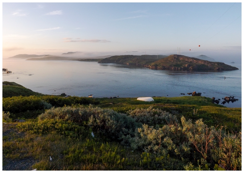
Much of the Avalon Peninsula is lined with shores featuring additional smaller peninsulas jutting out into the various bays like Conception Bay and Trinity Bay. The communities here are then usually in the protected and sheltered coves; with only a few dirt roads, cabins, navigational beacons and trails out on the peninsulas. Sanctioned trails as well as rough trails exist to remote coves and beaches, but it's also an area where it's exciting to study maps and assess the accessibility of various peninsular lands. It's with looking at maps one night that an old village named "The Mines" piqued my interest. Going back to satellite imagery, it looked like there was a dirt road leading out to the landscape scar left behind by The Mines. This was a promising spot to put up our tent and enjoy the night. |
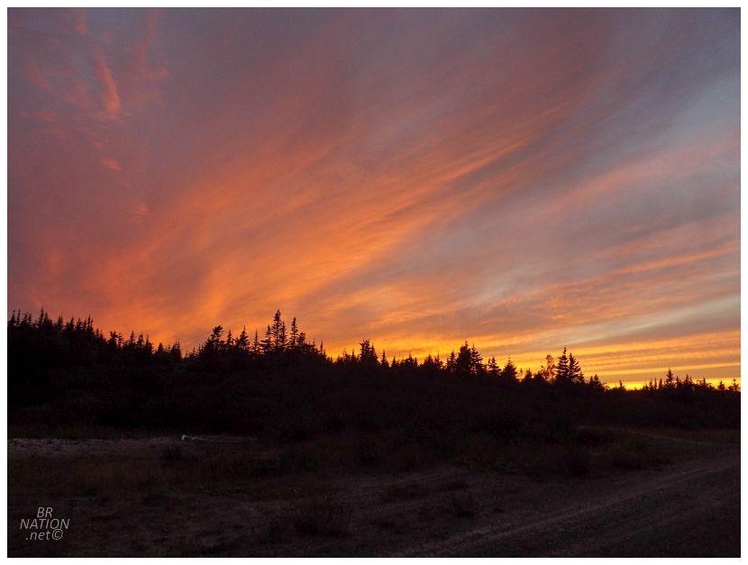
I arrived earlier than Isy, seeing as I was the one proposing this random spot without any on-the-ground research. If there was a closed gate or if the road was decommissioned, as the researcher/navigator it was going to be my responsibility to find another stealth camping location in a hurry. That wouldn't be necessary though as this was the perfect campsite. The road was a rough drive in the Patriot, but that would keep out other people at the same time. I relaxed for a few minutes and enjoyed the scene, although with Isy arriving at the NL-201 highway only minutes later, it was back into the Patriot to go grab her instead of making her car drive the rough access road as well. Darkness came quick, especially as the last bits of daylight were ate up with erecting the wind sail tent. It was a cold night too, leading to only one game of cribbage before Isy climbed into her sleeping bag, while wearing a sweater, gloves and a toque. The first day of fall was only a few days away. |
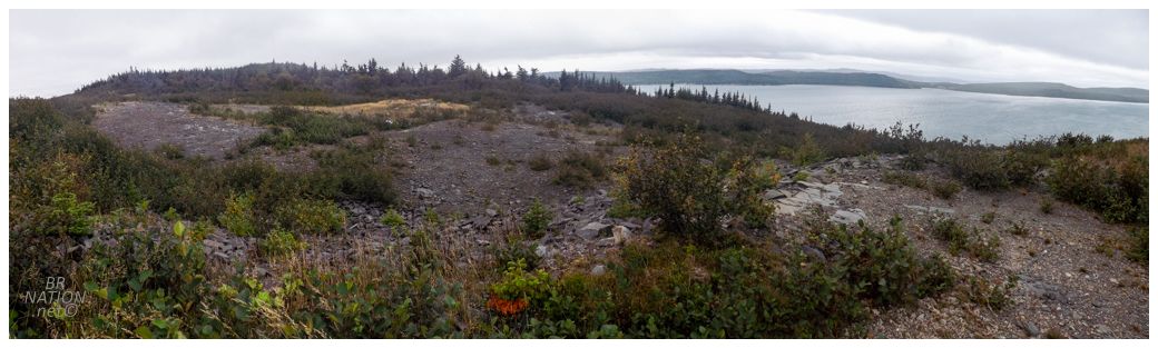
I awoke early, excited about exploring the area. The Mines was never actually a village, just one of those places that pops up in Google Maps because of Google's assumption that topographic map location dots are always villages. Instead of a village, this place was actually the Collier's Cove Barite Company, a barite mine that existed from 1902 to 1905 and employed 30 men. In 3 years of mining, they managed to ship off 4600t of barite ore to Canada and the United States. |
From barite comes barium, which at the time was mostly used as a pigment in paint production. Isy was excited about this being a barite mine as barium has played a role in her life, since lovely Kingsley is always eating things he shouldn't. Therefore, after any period of Kingsley not having normal bowel movements, the vet has given him barium, which would show up in X-rays at any blockages he may have in his digestive tract. (Using barium as a "radiocontrast agent" in the gastrointestinal tract wasn't invented until 1908, so none of the Collier's Cove barium was ingested by dogs or cats.) |
Barite ore sold for $10 a ton when this mine opened in 1902, but the price dropped to $7 a ton in 1903, then $6.66 a ton in 1904. The ore was also starting to diminish in quality as well, and the combination of these things led to the closure of the Collier's Cove Barite Company mine. |
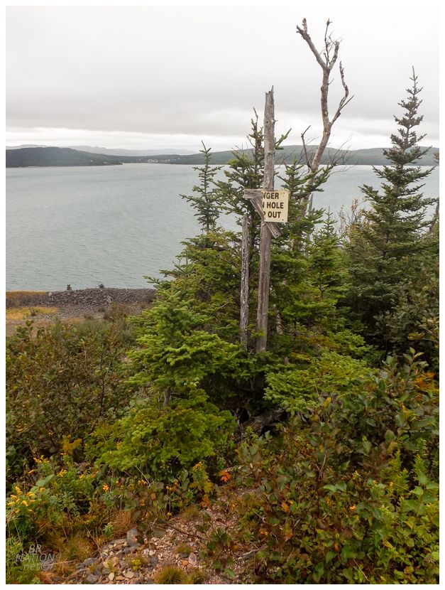
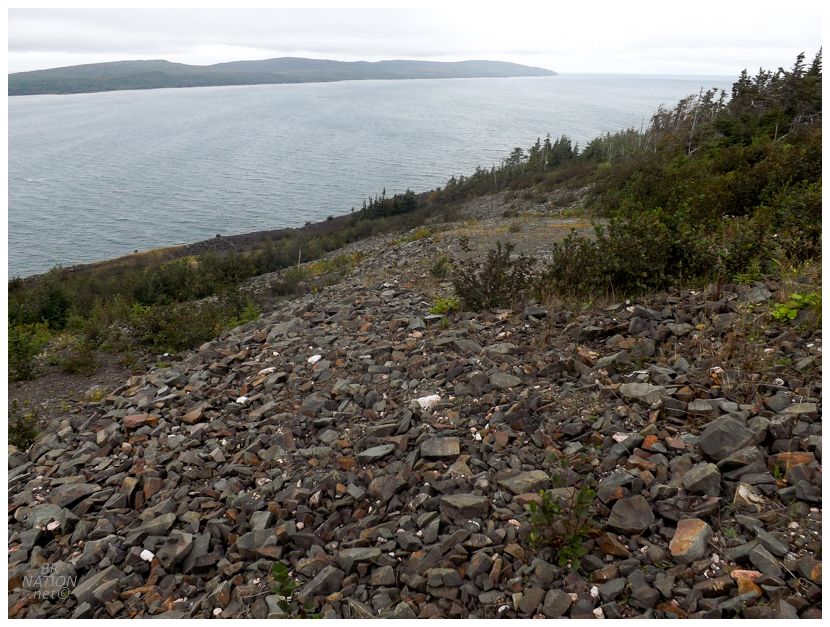
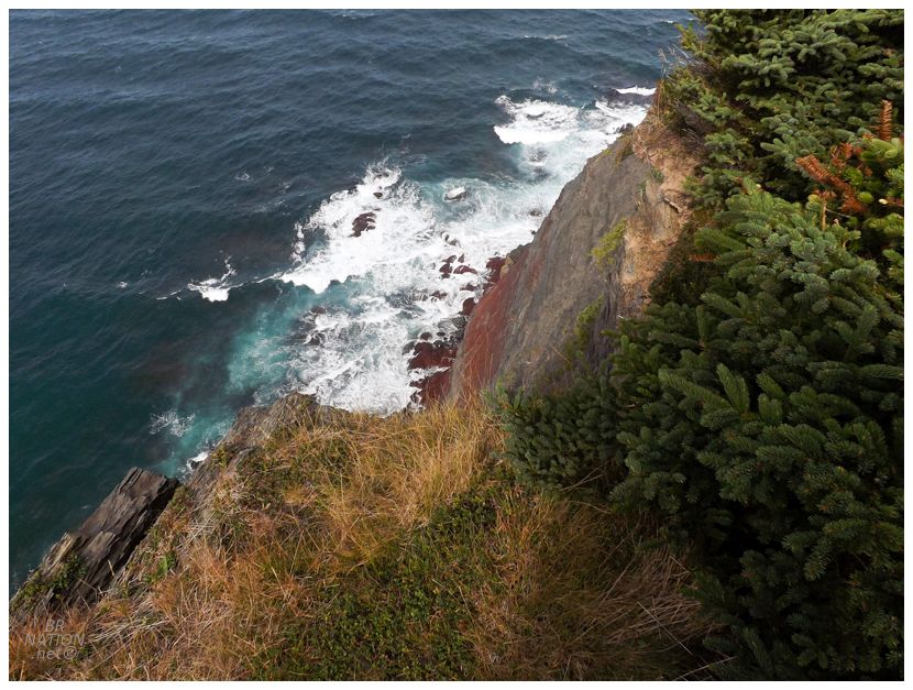
Over in the trees I was greeted with a half-missing "Danger, Open Hole, Keep Out" sign, which normally leads me to look around, except the area was so overgrown that I didn't want to step anywhere where I couldn't see where I was stepping. As it turns out, I should have checked my trusty copy of "Rocks and Minerals For The Collector" by Ann P. Sabina. She states that the Collier's Cove Mine is located "on the shore of a steep-walled peninsula that forms the east side of Collier Bay" and that "the openings at tidewater consisted of an open cut, a 12m shaft, and an adit." You can see a pile of rocks down below in the above picture. I regret not going down there to take a look at them. |
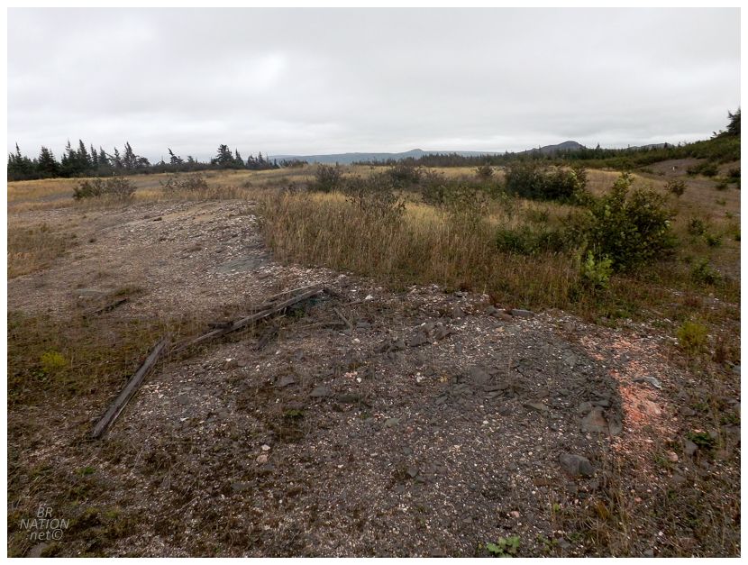
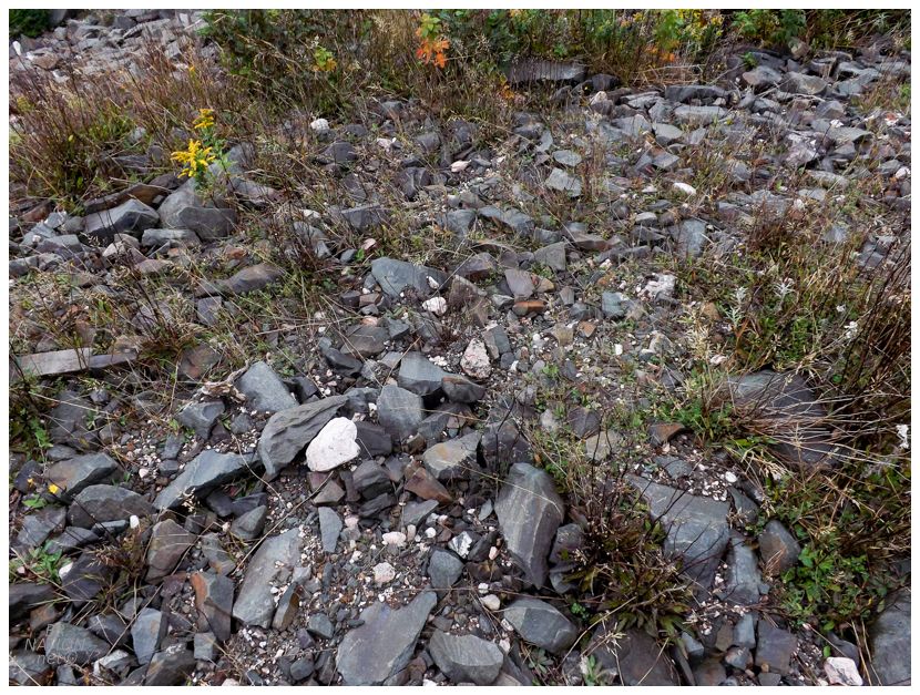
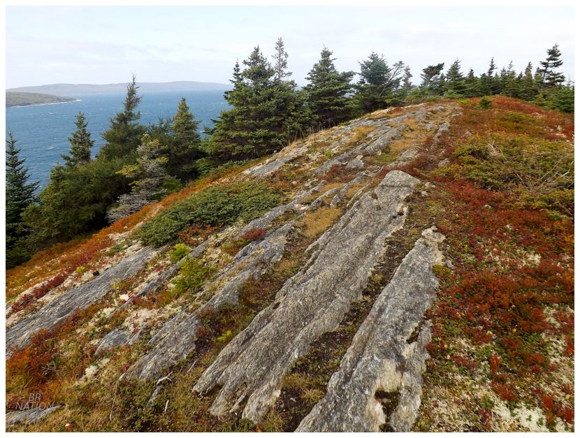
Back up by the tent, there were a few 2x4s, some flat areas and a few depressions, but nothing that pointed towards being original structures belonging to the mine. I doubt anything that wasn't stone, brick or concrete would survive up on this exposed headland anyway. Scooping up one of the waste rocks from the ground, I headed back and we started breaking down camp. |
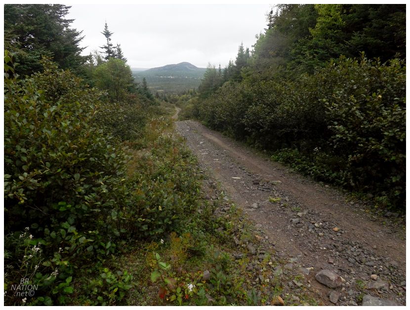
A good portion of the road. I was too stressed otherwise to stop and get out for pics.
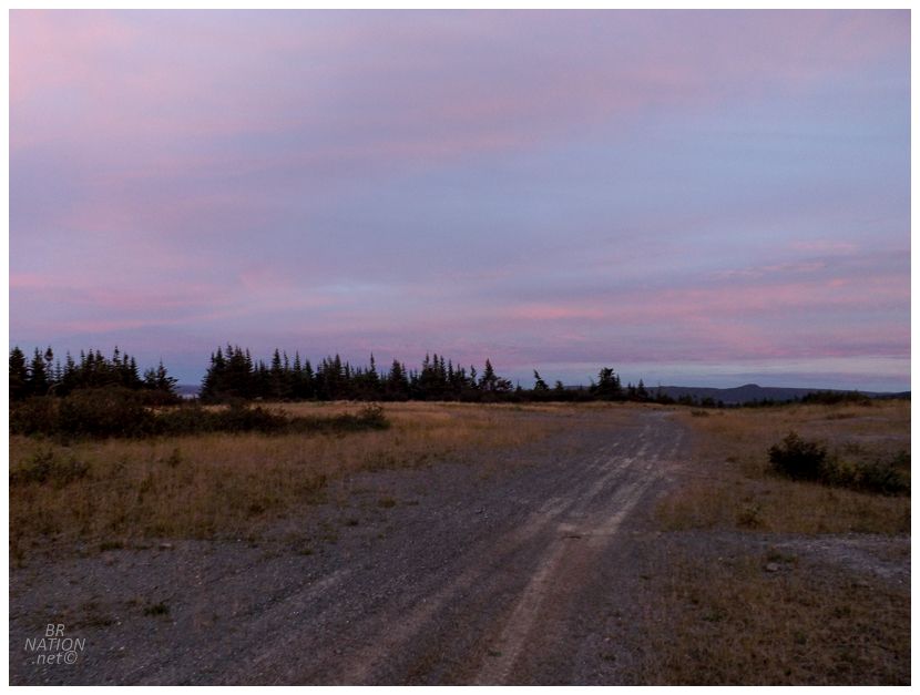
Throughout the morning, I was worried about putting my car through the ringer again by driving it down the loose, shoddy gravel road leading out here. While I would love to camp here again some other time, this approach road gives me pause. Anyway, after a few scraping alder branches and a slide down a spot or two where I dislodged large stones, we made it back to the gate and the biggest problem. Someone - I'd say Mines & Energy - had put a red gate across the entrance to this road, where the only way around it was squeezing around the left gate pole, up on a little hill which had tracks that were more likely made by a quad or side-by-side. I had done this yesterday though, so I knew it was possible. I crept up towards the tire tracks, making sure to not scrape the side of the car on the red pole, or go too far off the other side where Mines & Energy had put a big rock and there was also a ditch. Inching forward, the car jolted slightly down the embankment and sideways towards the pole. Scared, I told Isy to put her head out and see if we were lodged against the pole. We weren't. But by now, I was worried as the tires were spinning and I couldn't give it gas for fear of eating up the one inch of space we had. And oh yeah, some local men in a Grand Cherokee had also pulled up and were now watching. There wasn't much to do except ever so gently give it some gas and steer straight, away from the pole. Revving the engine and spinning out multiple times, the tires finally caught and we kept a straight line, the pole passing only an inch away from the Patriot until the back headlight finally cleared. It was stressful enough that I didn't take a picture of the gate and said gate doesn't exist in the 2013 StreetView. |
This area of Newfoundland - around the Isthmus, the Bellevue Beach/Long Harbour/Dildo area - may be my least explored area on the island, leaving me struggling to think of brunch options. Thankfully Placentia wasn't that far away and I knew there that the local Three Sisters Pub usually does a good job. Heck, they even do a good enough job to save me from what I always do: order the one weird option like Chinese Food when I'm at an Irish-style pub, haha. |
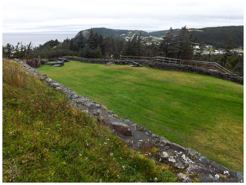
I wasn't that upset about driving out to Placentia because I figured we could spend an hour finally exploring the Castle Hill National Historic Site, located in adjacent Jerseyside. |
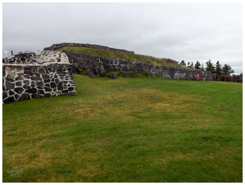
In 1655, the French controlled almost all of the Maritimes along with half of Newfoundland. They decided to build their capital at Plaisance, which is modern-day Placentia. By 1662, they had constructed Fort Plaisance, with Fort Royal (Castle Hill) coming in 1687, and Fort St. Louis down in Jerseyside by the Placentia Lift Bridge in 1691. The 1713 Treaty of Utrecht would make this all for naught though, as the French had to leave Newfoundland as a concession following the War of the Spanish Succession. The French left to create their new capital in Louisbourg, while the English took over and renamed the town to Placentia. Amongst the departing French were 116 men, 10 women and 23 children, who left in three royal ships and additional merchant vessels. |
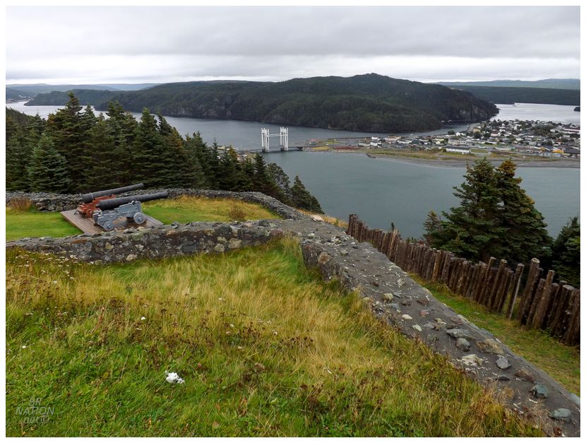
Castle Hill was stabilized and made into a National Historic Site by Parks Canada between 1962 and 1968. |
We rushed through Castle Hill on account of the low temps and the winds that made it feel like 4°C/39°F. Isy was wearing my ice fishing jacket and a toque, and still didn't want to stand atop the fortifications for very long. I couldn't really blame her either as it was chilly out on the headland and those first cold winds of the year always hit different. Isy also wasn't feeling the best, which led to the decision of grabbing a motel tonight instead of camping. She went up ahead to the motel in order to rest and feel better, while I went back up to the Collier's Cove area, in order to hike the Seaview Trail all of 5 minutes away from The Mines, over in Norman's Cove. |
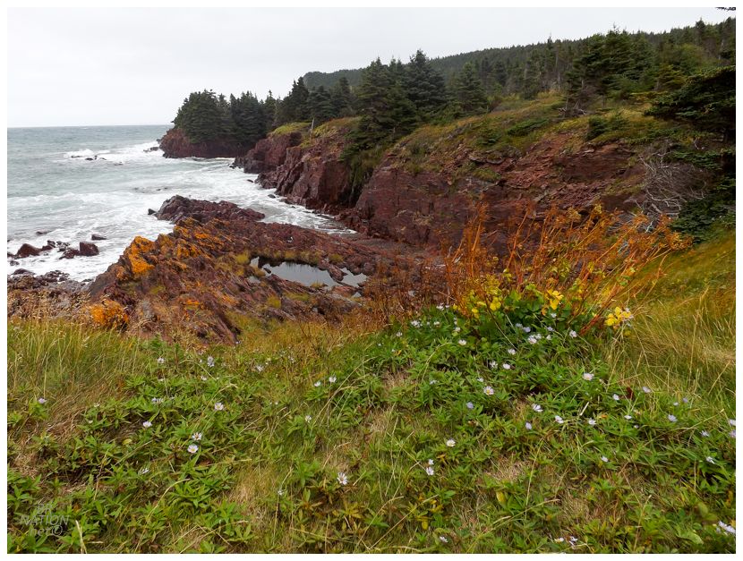
The Seaview Trail went along a beach and provided a view of the skeletal tower marking Norman's Cove, before curving towards a back beach followed by 130 steps up to the top of Chapel Head. Along the way there were wildflowers, mushrooms, and great ocean views, even if there wasn't anything out here in terms of human construction. At 3.2km total and taking about an hour, it fit perfectly into my day. |
I'll give the Seaview Trail 3.5 stars out of 5. A fine, lesser-known, small town trail. After exploring the peninsula with The Mines, it was also fun to only move one cove over and explore the next peninsula east. |
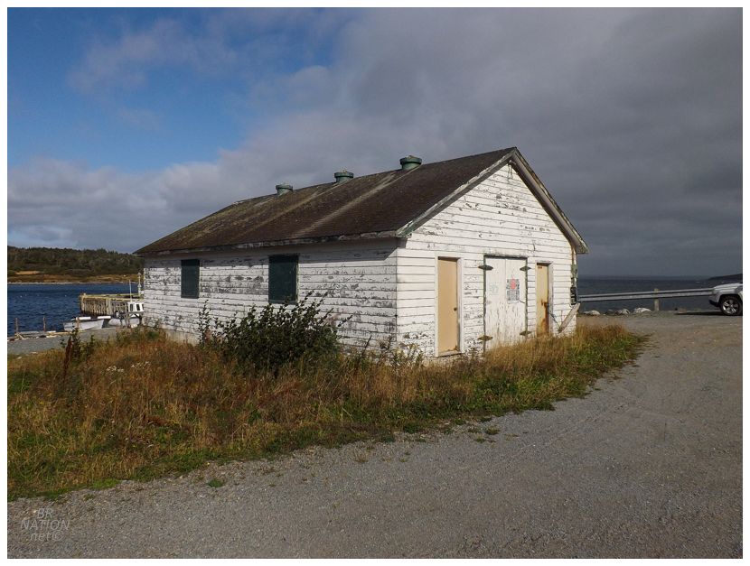
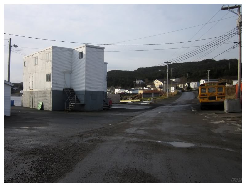
I could have backtracked and the TCH might've got me going west quicker, but it had been a while since I'd been down in Bellevue or Bellevue Beach, so I decided to take the backroad NL-201 instead. Along the way I noticed this abandoned(?) fishing shed on the community wharf in Thornlea, and having never done much in Thornlea, I decided to stop for a look. |
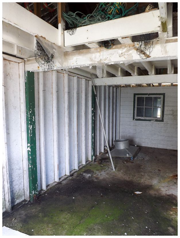
Maybe not a Grade A abandonment, but I get to update my Newfoundland towns page with another specific reference! Huzzah! The funny thing is that I went to an awesome abandoned building after Thornlea, but I'm going to save that for another time where I'll tell you about how Isy and I went back to camp there in 2020. |
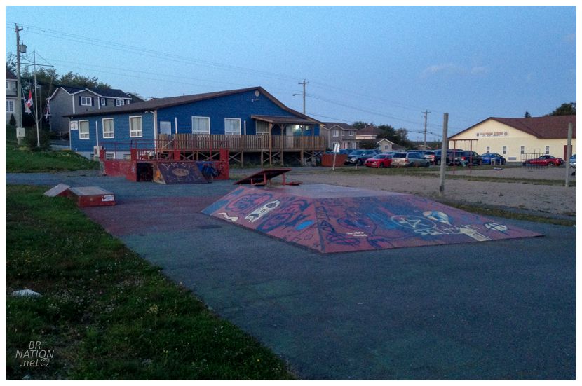
Stopping for a snack in Bellevue, I had to laugh at this woman's car where she had five separate kinds of Dildo bumper stickers. Someone clearly loved that Jimmy Kimmel had come along and made Dildo even more known, haha. Following that, I wrapped up a fine day with a stop at Clarenville's skatepark, which I wouldn't want to be my local skatepark, but it's fun enough to stop at once a year. |
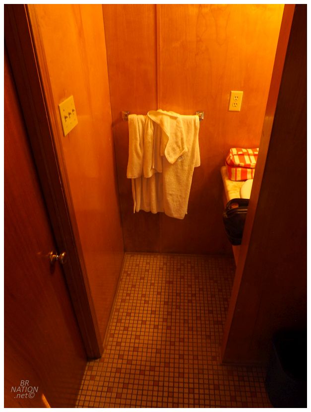
Not knowing of any cheap accommodations in Clarenville at the time, I'd sent Isy off to the Clode Sound Motel in Charlottetown, seeing as if we were going to spend the money on a motel, then why not check off a new one that I've always wondered about. Walking inside, I couldn't believe the time warp I'd entered. |
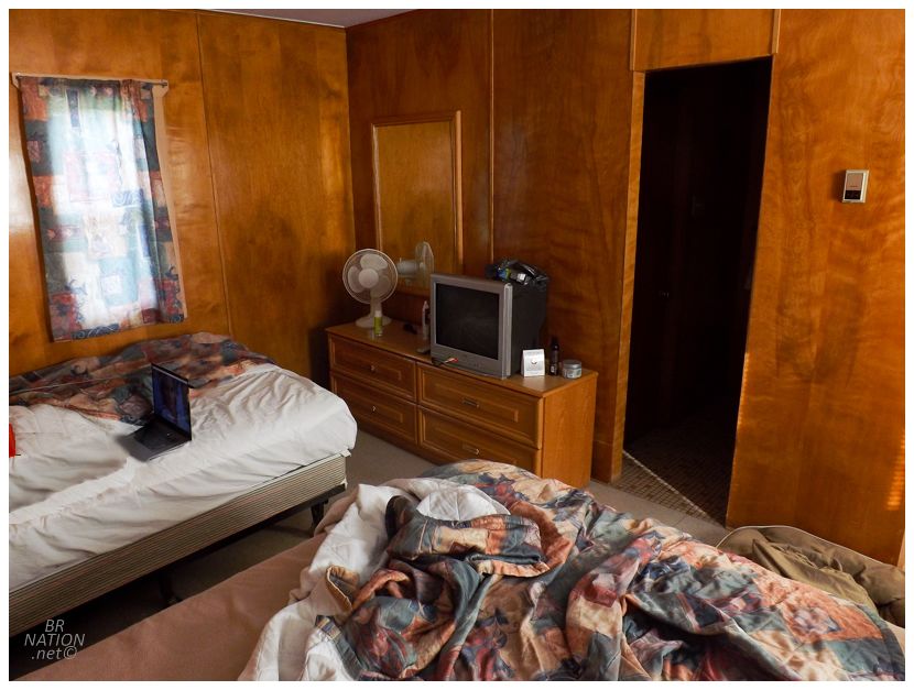
It was hilarious how much Isy and I loved this dated room. It's too bad for the Clode Sound Motel though, as we usually enjoy these rooms at a certain price point. I'm not too sure we'd pay $130/night to repeat the same experience, haha. On the other hand, I can't believe this place has good ratings when people are so soft and delicate these days, demanding flat screens and glass door showers in their motel rooms that they spend 9 hours total inside. |
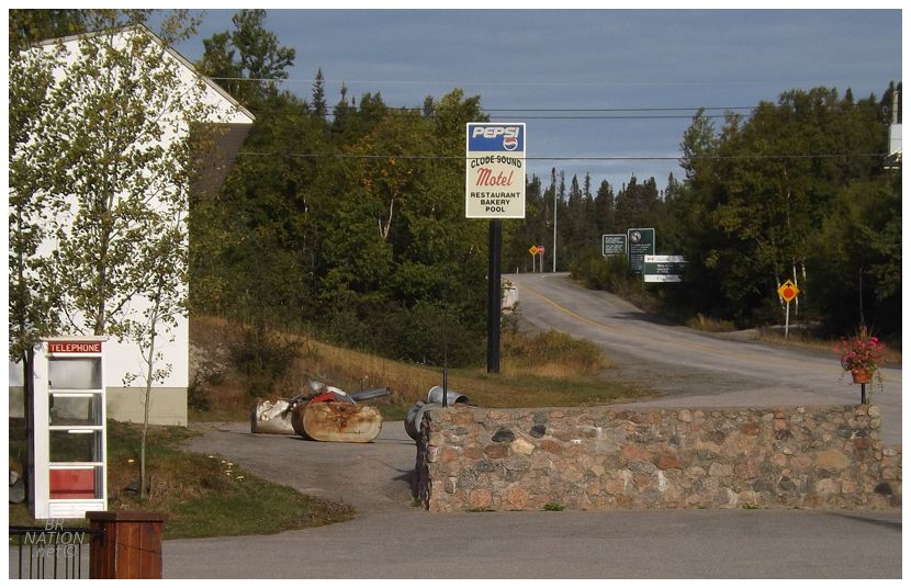
The Clode Sound also has a hot tub, playground, bbq pits, and tennis courts, as it's a real throwback to a different time of family road trip travel. I mean, if you're visiting Terra Nova National Park (which the motel is right on the border of) you could definitely do worse. |
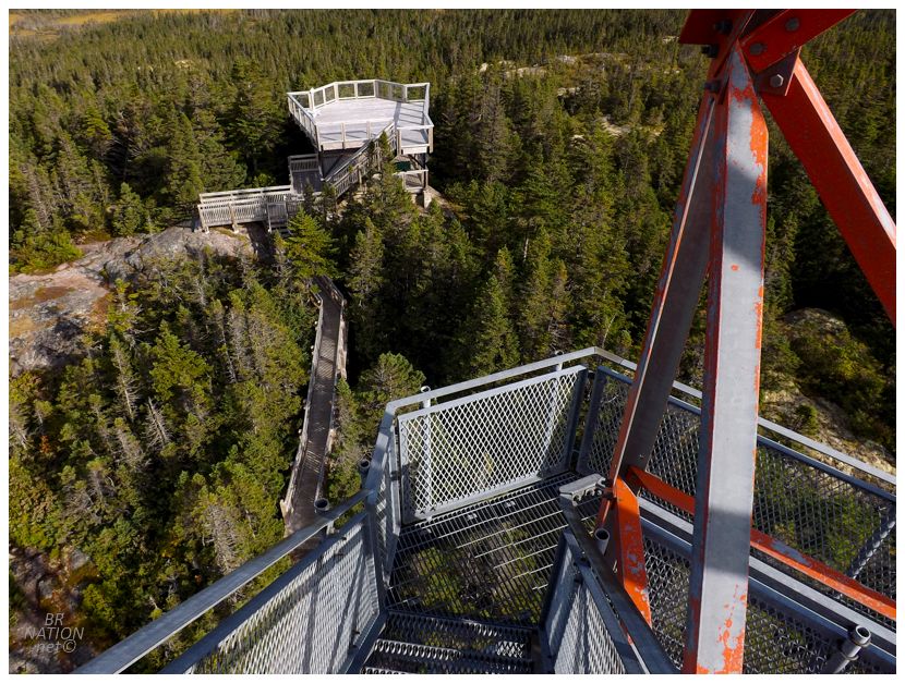
Isy was on her way in no time. I was in no rush to get home though, so I finally stopped at the Ochre Hill Fire Tower. |
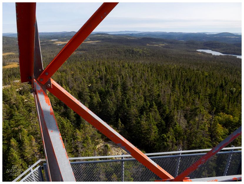
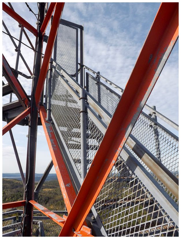
You couldn't reach the top, but there were still great views from the levels below. And all for a short 4km (2.5mi) drive off of the Trans-Canada Highway. I stood around for a bit and pondered whether Isy would have been comfortable climbing up this high, before finally climbing back down and getting back in the car to drive the remaining 4.5 hours west. |