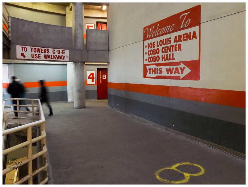
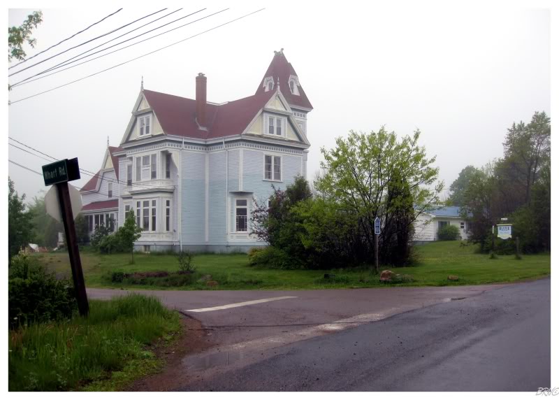
There's a resettled community down on the Burin Peninsula with such a spectacular abandoned church, that it's long been high on my to-do list. So high on my list, that I truly came close to accepting the $600 boat ride I was once offered when calling around and trying to get there in the past. $600 seemed steep for a short visit though - he said it would be $1200 if I wanted him to leave me there to camp - so I was left wondering just how hard it would be to bushwhack the ~17km0 each way, at minimum, that it would take to reach the village of St. Kyran's. This is why I savoured hiking from nearby South East Bight to Great Paradise in 2019, as it allowed me to size up the land and contemplate if bushwhacking to St. Kyran's was remotely possible - but then, one day I was randomly looking at a Newfoundland hiking Facebook group and there it was: two guys had hiked from Monkstown to St. Kyran's and over to South East Bight. It was time for me to hit the road. |
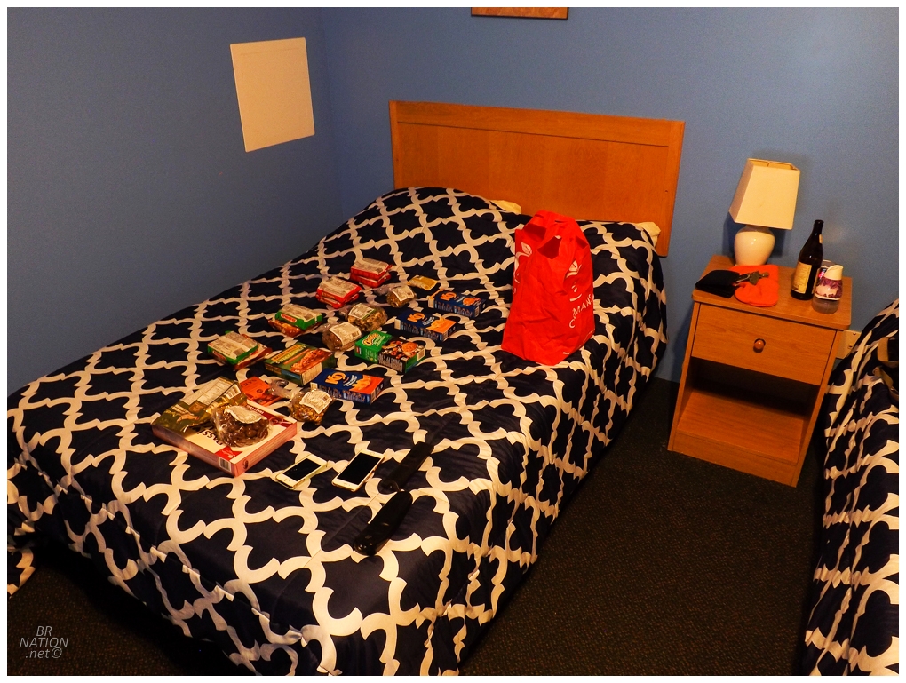
Dividing up my food for the hike and making sure I had 3500 calories for each day.
Corner Brook to Monkstown is only a slightly shorter drive than Corner Brook to St. John's. So setting out on a four day backpacking trip, it's an odd distance to leave in the morning, drive 6.5 hours, then set out to camp in the backcountry. Knowing of easy and free camping spots in Central Newfoundland, I instead planned to leave in the afternoon to chew up the first couple hours of driving and then leave a manageable amount for the next day. Except that I was now running late and it was getting dark even before I made it to Badger. There was also a light mist coating my surroundings. Seeing as I still had to sort out my food and gear into a manageable pack, I gifted myself a better chance of making it to St. Kyran's by grabbing one of the $79/night rooms I'd always eyed in Badger. |
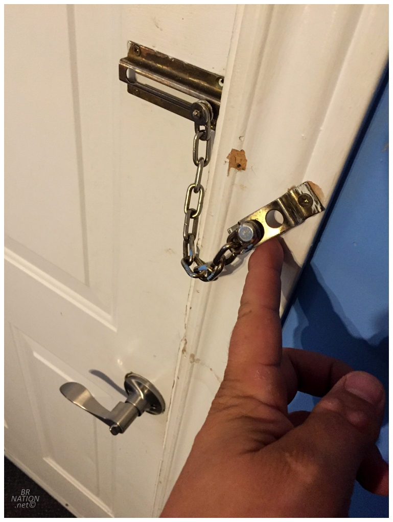
I understand that most people fear $79/night rooms nowadays, but I couldn't believe this motel room in a village of 700 would have both a destroyed lock chain and the overpowering smell of mold. And don't forget, I have an extremely poor sense of smell. It was fun to check off a new motel, but the mold was bad enough that I half-wished I kept going to the Trailway Inn in Grand Falls-Windsor. |
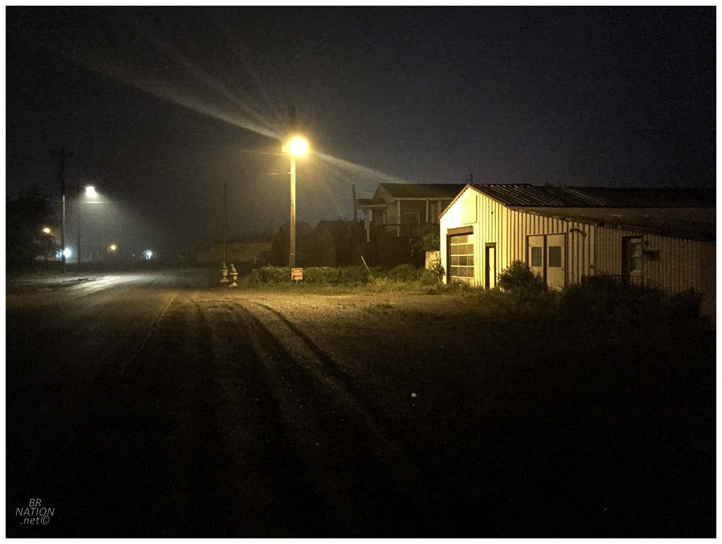
This was the first time I'd ever spent the night in Badger, so I went for a late night walk and enjoyed the dark streets and vacant buildings. The only other person staying at Kellie's Motel was a girl with Ontario plates and I was impressed with how she also set off for a nighttime walk in this place of darkness and abandonment. The other funny thing was that this just so happened to be one of the three times a year that my Grandma called me and I quite enjoyed fielding questions while strolling through the gloom of Badger's Main Street. I also laughed when she asked me what Isy was up to and I had to say that I hadn't the slightest clue, haha. |
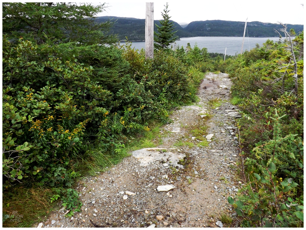
Leaving Monkstown, NL
Speaking of Isy, she recently gave me a copy of The Lost Pianos of Siberia - a tale involving an author's search for the old grand pianos that live on in obscurity in remote Siberian outposts. Unable to put it down last night, I was now left leaving Badger a bit later than I would have liked. This actually worked out fantastically though, as I had to race to Monkstown and didn't have much time to faff about or reconsider this St. Kyran's undertaking. I simply pulled into town, drove the length of Monkstown Road, then decided on parking at a small church with a sizable lot. It seemed like as good of place as any to leave my car for four days. In situations like this, I always worry that some villager is going to come out and tell me I'm foolish or unprepared or what I'm doing is pointless. Therefore I like to be ready and get moving quickly, which I did, right up the ATV path that followed the hydro line behind the church. There was one quad that approached and turned down another path, but otherwise I was alone to huff and puff my way up and out of Monkstown. |
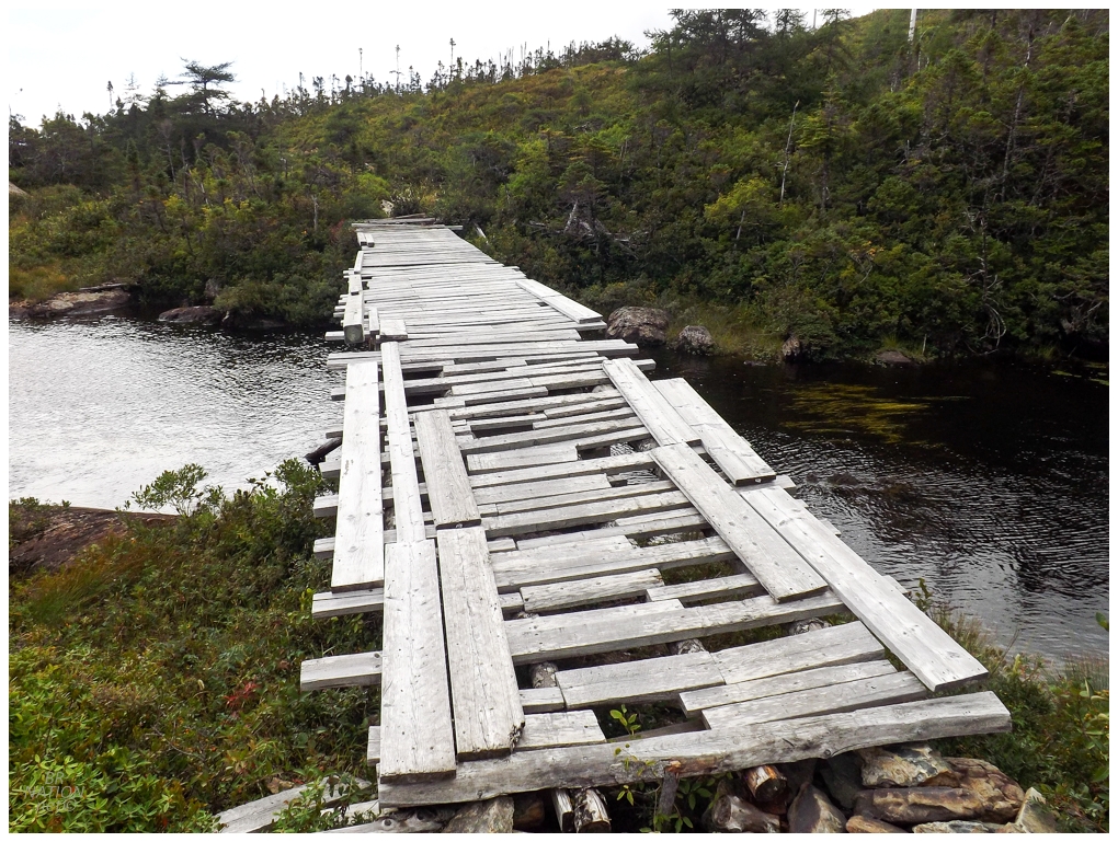
Going into this hike, the Google imagery was frustratingly - and admittedly a bit comically - split right on the centre of Monkstown. The village itself was a newer and clearer satellite image, while the eastern side of the village and all of the backcountry was a blurry, older image. So it was easy enough to see that there was a path leading up out of Monkstown, but from there only blurry bits of dark lines maybe led south. Reaching the top of the ridge east of Monkstown, with hopes of covering 12km to the first resettled community between here and St. Kyran's today, I was pleased with how the quad path continued and I chewed up the first kilometer. |
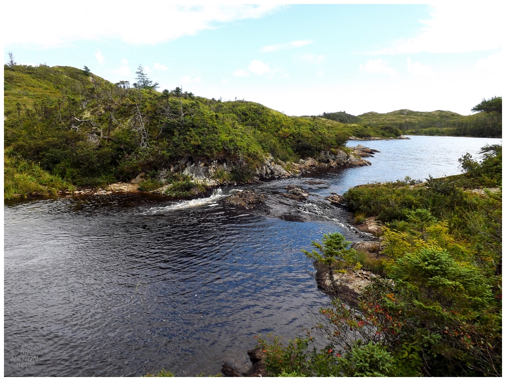
I was sweating and had to adjust my layers, but in no way had I earned a swim just yet. Standing on this rudimentary bridge though, I fantasized about how sweet it was going to be when I could wash off four days of sweat, sap, and grime with a dip in the cool waters of this unnamed creek. Oh buddy, I'll be back. |
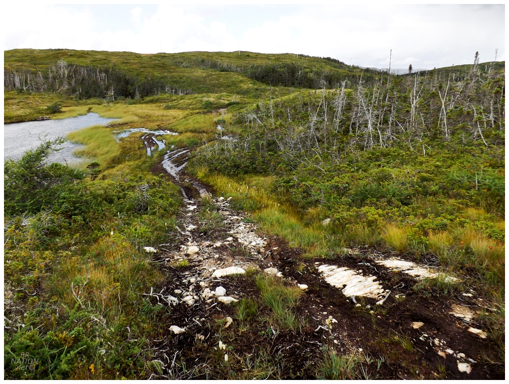
I stuck to the ATV path even as I encountered bogs that the ATVs must simply rumble through. I was left to carefully hug the edges in an attempt to keep my feet, ankles, calves and even shorts from getting wet. In similar Newfoundland landscapes like along the Burgeo or Bay d'Espoir highways, I'd have considered getting up on top of the hills and just cruising along, but these were smaller hills in terms of hilltop area. I only saw about 15 minutes worth of walking to be done before I'd have to fight through another batch of woods to get to the next hill. |
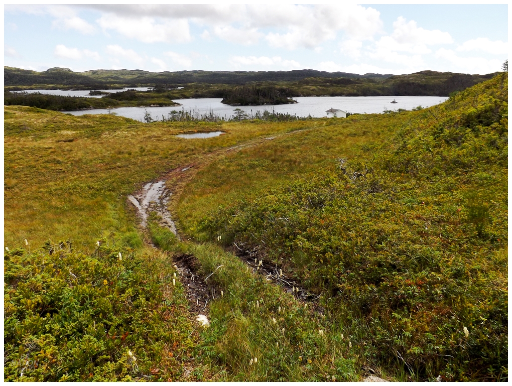
The Stagger Inn, Monkstown, NL
The ATV path kept curving until it was on a collision course with some sizable lakes and I knew I needed to skirt to the southwest. I couldn't help myself from finding out where this path went though, so I dropped my pack and quickly found myself at a backcountry cabin called The Stagger Inn. I took a minute on their porch to size things up. I'd covered 2.5km (1.5mi) in the first hour, which was decent, but with the early September sunset time, I needed to keep up this pace to cover the hopeful 12km (7.5mi) before sunset. I looked over at the bush which guarded the hill I wanted to get on top of to the southeast, instead deciding to double back on the quad path until I found a better spot to tackle the next leg. There are adventures where I waste too much time trying to cherry-pick the best route, but at least here I realized I was doing that before heading too far back towards Monkstown. On the other side of the hill, I finally just went along the bog in front of me, until I got tired of that and put the effort to get on top of the small hill. |
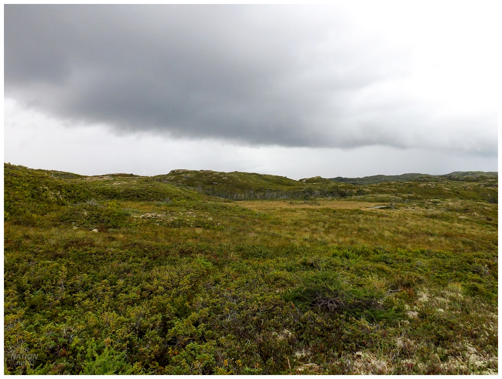
The threatening grey clouds overhead made it seem like Eddie Sheerr wasn't lying about today's predicted showers. I had half a hope that it would be like Corner Brook showers, where they are far weaker than they predict, or they don't materialize at all. Folks, they weren't like Corner Brook showers. All of a sudden straight down, heavy rain saturated me and just in the time it took me to throw off my pack and pull out its rain cover, I was soaked to the point where I wondered if I should even bother with breaking out my own rain gear. Throwing my pack back on, there were bogs and valleys and stands of trees to fight thru in this pouring rain, while I tried to keep a mind towards a good route and also avoid getting a stick in the eye as water ran down my face like I was eating a ghost pepper. And then, it ended. It was like the storms back home that come out of nowhere and exhaust themselves quickly; a phenomenon which has become really unfamiliar while living in Western Newfoundland. A rainbow shined in the sky in front of friendlier clouds, and wouldn't you know it, The Stagger Inn was at the end of the rainbow. |
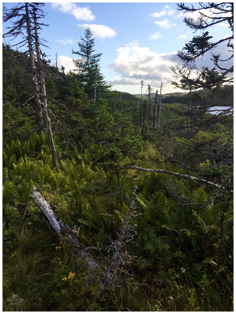
Now that I was off the ATV trail and running into unfriendly landscapes outside of the hilltops, my pace was really slowing down. Around km 9 (mile 5.5) and my fourth hour of hiking/bushwhacking, I found a lake in front of me with seemingly no good options on either side. Deciding on what looked like a flooded forest, it instead was this wonderful forest of spaced trees and ferns where I walked freely except for the odd downed tree. I was still worried about making it to the resettled community of Clattice Harbour before sunset, but this forest gave me hope. |
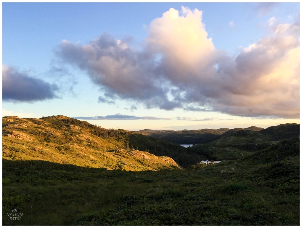
The hills and clouds started to glow as I pushed through hour five with daylight running out. As I stood here I cursed being out here by myself, as I love this landscape and on this calm evening, I really wanted to just put my tent up on top of one of these hills where you can see for miles and miles. For some reason this is an uncomfortable idea to me though, where a cove is more relaxing and secure in that you're not just out in the open for some bear to find you. And yes, I'm aware bears find things more often by smell and not their eyesight, lol. So I walked on, pushing to the hilltop because I wanted to look out on this landscape in the golden hour, even if I knew I had to descend down to Clattice Harbour at some point. That point would come with a shadowy forest and a steep decline up ahead, but again, I wanted to camp down by the cove of Clattice Harbour. This forest was different than the shrubs and stunted trees up in the barrens, as these trees had enough protection to grow taller than my human height. They were still dense though, so it was a rumbling exercise fighting against the downhill slope amongst close trees. It got darker and darker and into dusk if not darkness. I wondered how much more land there could be before the cove, while also hoping not to end up at some cliff hanging over Clattice Harbour. |
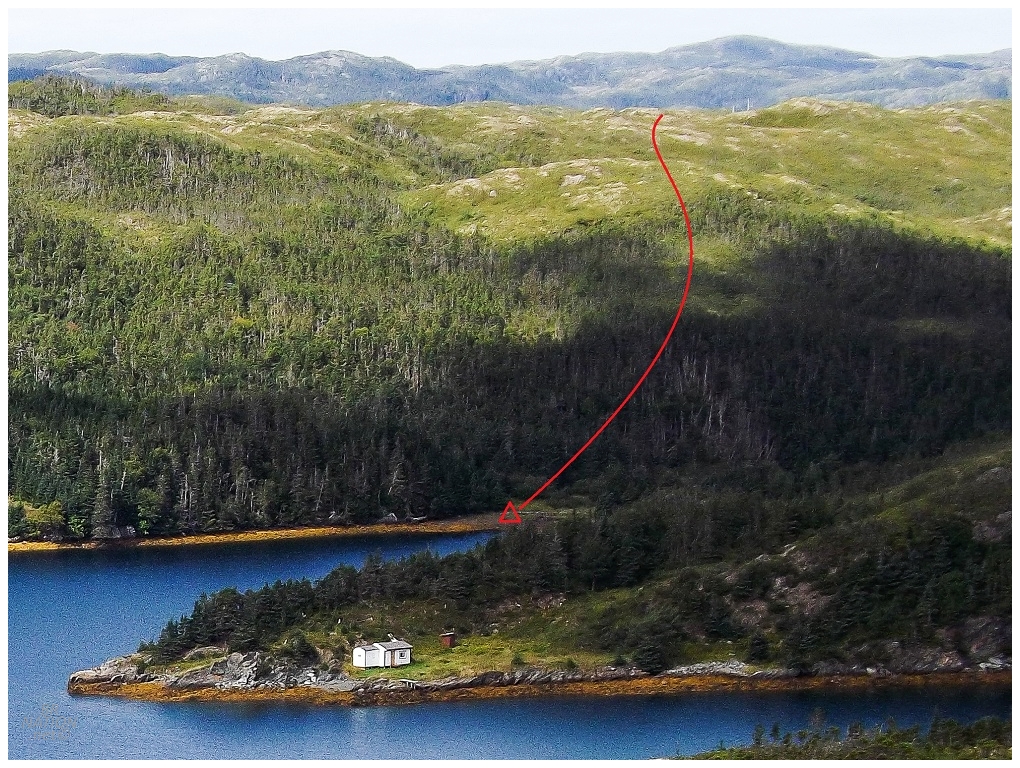
Cropped, distant photo showing my route from the nearby golden hill.
A small stream joined my route and the trees started to change from firs to alders as I went for a step and the rock I went for was further away than I thought. Trying to arrest myself with my hiking pole, it wedged itself under another rock and snapped while I folded like a cheap card table. No harm, no foul, but collecting myself I thought that maybe I shouldn't have the cheapest Crappy Tire hiking poles if I'm going on solo excursions like this. It wasn't more than 30 feet later that the land flattened out and the density of alders led me to believe I was near a clearing. Pushing through, there was a glorious 20x10-foot patch of long grasses, which seemed like it may have been someone's cabin clearing at some time (although I found nothing anthropogenic amongst the alders). Setting up my tent and cracking the one glorious Coors Banquet I'd brought along for this first night, I gathered some sticks and tried to have a fire, but it went nowhere. Too tired to force it, I retreated to my tent and was quickly asleep after 12.4km (7.7mi) of hiking over six forceful hours. |
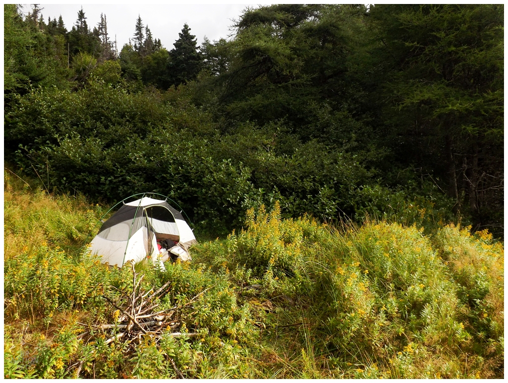
My tent in my little cove the next morning. There was an even better cove just to the west.
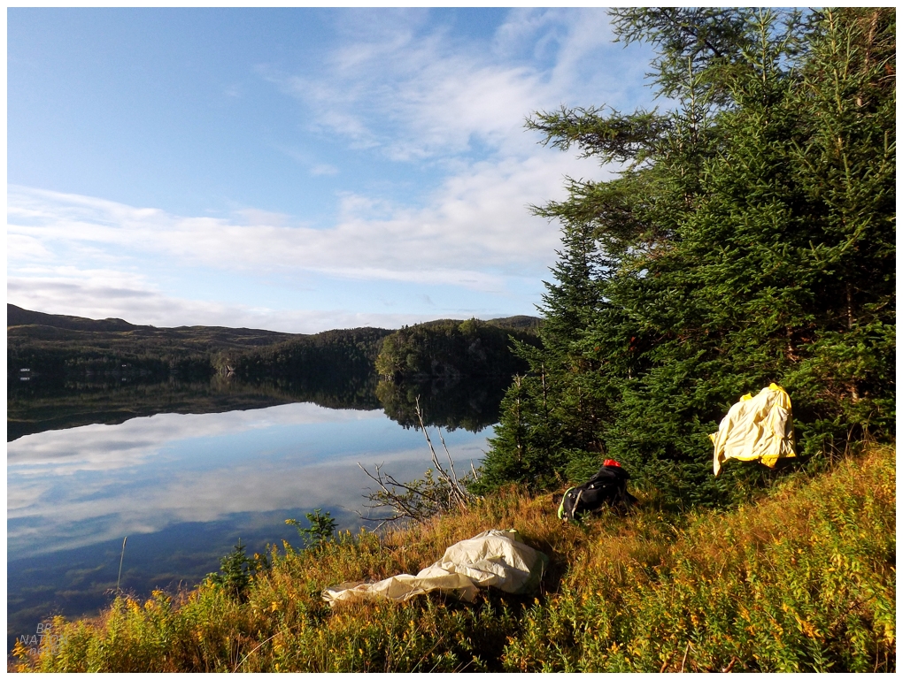
Northwest Arm of Clattice Harbour
Not usually one to sleep too late in a tent, I was surprised when I woke up and it was already sunny outside. I was even more surprised as I unzipped the tent fly and there, 20 feet away, was a seal head poking out of the water and checking me out. Turning to grab my camera, he'd already dipped below the water line and swam away. Crawling out of my 1-man tent, I felt surprisingly good and not too sore, which I reasoned was due to this grassy cove, plus the fact that I'd recently been gifted a Lifestraw water bottle. No longer did I need to bring along a 4L jug of water, as now I just bent down at whichever stream and filled up on water. I'm sure the sunny morning didn't hurt either, especially as there was next to no wind and the temperature was already a pleasant 10 degrees (50°F). I had to laugh when it clouded over and started spitting within 30 minutes though. |
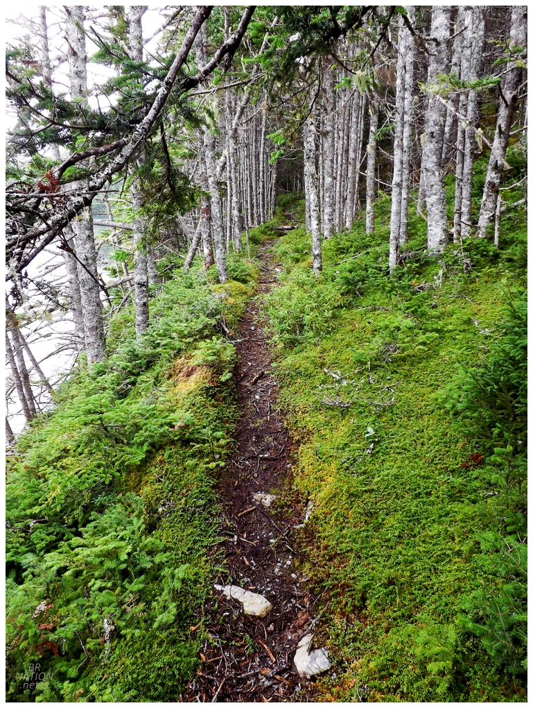
Free from my heavy pack last night, of course I explored all around in those alders for any signs of a former cabin, but I also pushed eastward along the cove slightly, only to find an amazing path after the first bit of trees. With it being dusk and closer to actual nighttime, I didn't head too far into these woods, but they left me excited for the morning. Getting my stuff packed up, it was an easy first five minutes of hiking today, while I couldn't wait to find out what lay at the other end of this trail. And why did this trail lead to my camping cove? Why didn't it keep going? Soon I emerged into a steep clearing, without any signs of a cabin or wharf. The trail didn't seem to continue alongside the harbour after this, so I walked uphill in the grasses knowing that the other option of bushwhacking around the harbour would be horrible. If the path ended here, I needed to get back up into the high country and walk atop the hills to get over to the real Clattice Harbour. So I reached the top of the grassy clearing and then fought forward with every step through forest to get back atop the surrounding hills. The hilltop stretched in a southwest direction and there was easy going as I moved along its rocky top. I needed to go southeast though, which meant going down into trees and then into the bogs. Completing a 90-degree turn, I only made it about a half kilometer (3/10ths of a mile) before I came to a roughly cleared patch of land that I assumed had to do with the hydro line. I was wrong. Following the path back towards Clattice Harbour, it got even better as 30-foot trees created an arched canopy over the smooth path of grasses that were never higher than my calves. It felt like I was in a romantic comedy all of a sudden. Moving at an excited pace to see if this was actually going to lead me to the elusive Clattice Harbour, I soon found a nice boat pulled up on shore but no cabins or docks anywhere. So what was the point of this impressive trail that you'd be comfortable driving a Chrysler Intrepid down? |
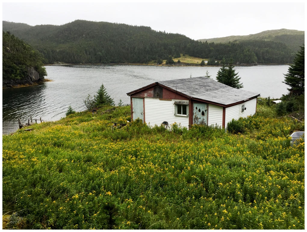
I'd seen the indentation of a trailhead halfway back up the rom com tree canopy road, so the only option was to slog back up and see where that went. This trail was more of an abandoned path as it hadn't seen any maintenance in a while. Clogged with deadfall, I was left to get on all fours, break small trees, and scissor over everything in the middle. I was surprised with finding bricks along the way, as well as some possible diverging paths into the woods; but the sight to behold was this cabin as the woods broke, which I dubbed the McCandless Cabin as I questioned whether that folding chair could really be that perfectly placed right outside a rundown shack. That wasn't really important right now though, as all I needed was somewhere to take a break for pistachios and Passion Flakies. |
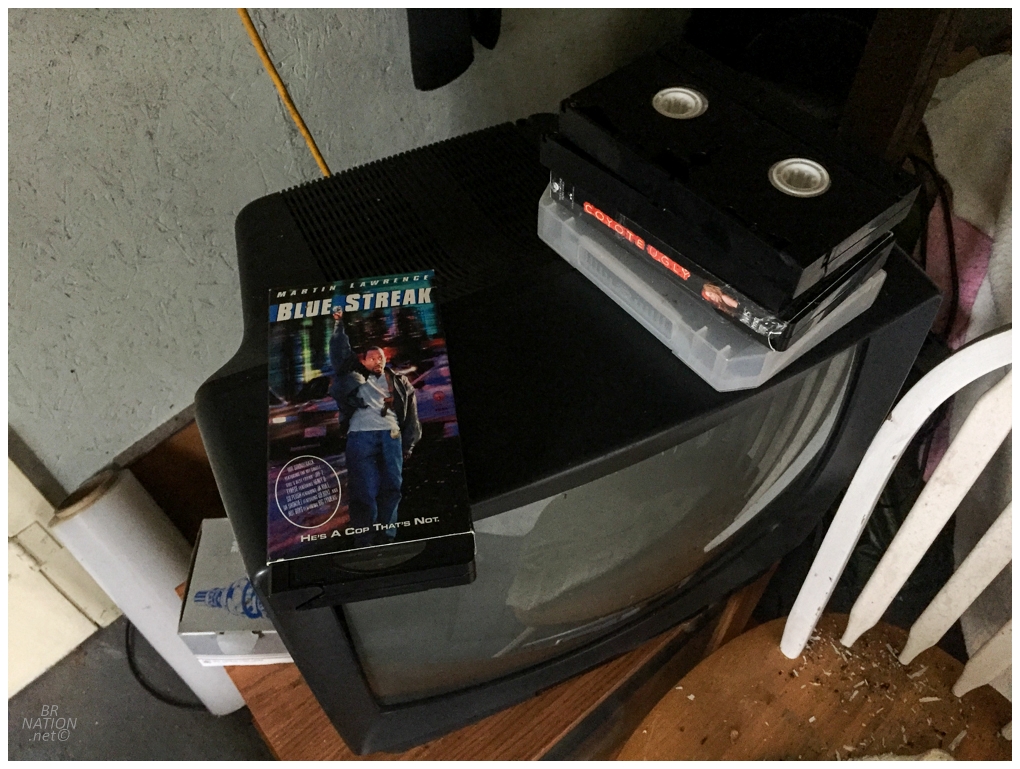
Looking back, the only picture I took in the cabin was of Martin Lawrence's Blue Streak on VHS. I was clearly stressed with how hard parts of this bushwhack had been, and I was also worried if I was going to actually be able to make it to St. Kyran's. Finishing up my snack, I told myself to just keep going. If I only made it to within 3km of St. Kyran's and had to turn around, then so be it. (I knew I was lying to myself though. As if I'd stop only 3km from St. Kyran's after all this, but the lie was enough to keep it moving.) |
