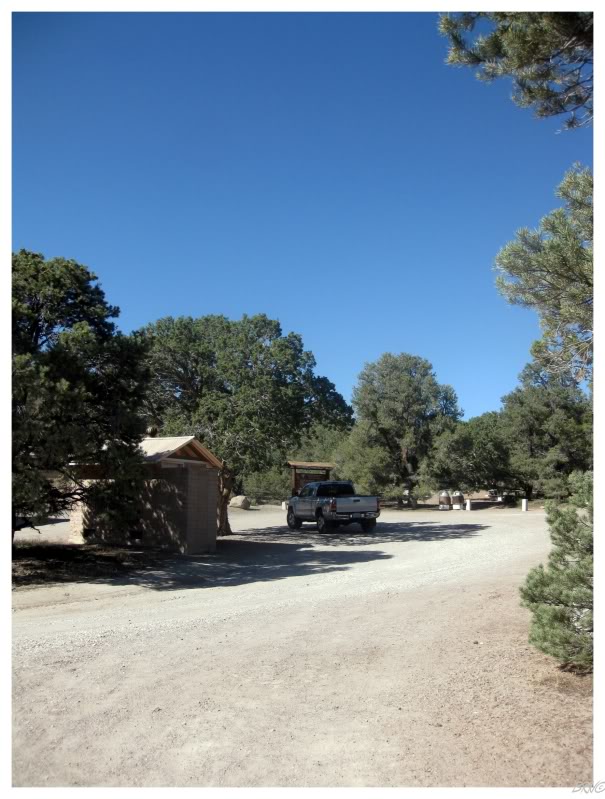
I was enjoying myself so much the night prior, that I left the car stereo running too long during my time beneath the stars. I eventually thought of it, but it was too late as the headlights would turn on, but the engine wouldn't try to turn over.
A dead battery was more of an inconvenience than anything. U.J. called AAA, but fortuitously a Californian man drove up to check out the petroglyphs with his wife. I was very thankful that hopefully we wouldn't have to wait the 3 hours that AAA quoted us.
I felt like an imbecile going over to ask him for a jump, but he wasn't condescending at all; he was more than happy to bring his truck over to help us out.
I can't begin to thank that guy enough, for not thinking we were morons & for saving us from having to sit out in the desert for 3 hours.
It was only 73km to the next town of Eureka, where we purchased some much needed breakfast at the Owl City Casino.
I don't know if Eureka gets much busier than this, but they were still putting a fresh coat of paint on their 1879 Eureka County Courthouse, which put a smile on my face.
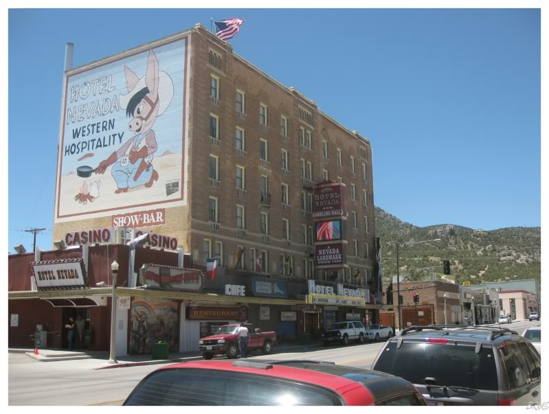
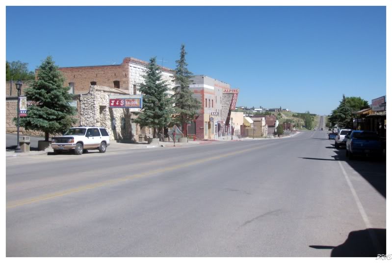
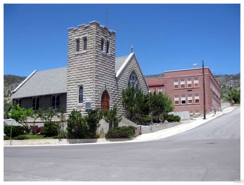
The next community on The Loneliest Highway came after another 130km - the town of Ely. You can see the 6-story Hotel Nevada in the above picture, which was the tallest building in Nevada into the 1940s.
U.J. needed to hit Ely's Radio Shack, so I went for a walk while she went into the store, which looked like it was located in some dude's basement.
I found an abandoned school, but the entrance looked moderately difficult, so we moved along.
After Ely, there was only 100km0 left of Nevada.
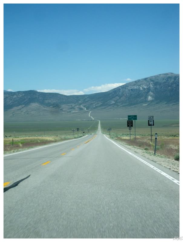
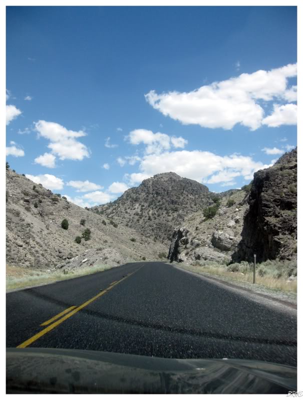
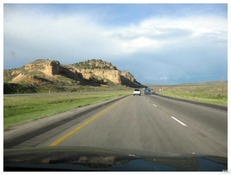
We passed through dry scrubland heading towards mountains to the east. As you can see in the above picture, there seemed to be an intimidating mountain pass coming, but when we got closer, the road curved north and followed a shallower gradient.
It was our last mountain pass in this state and a fantastic parting gift. We even saw a genuine cowboy herding hundreds of cows across the rolling hills up in the mountains.
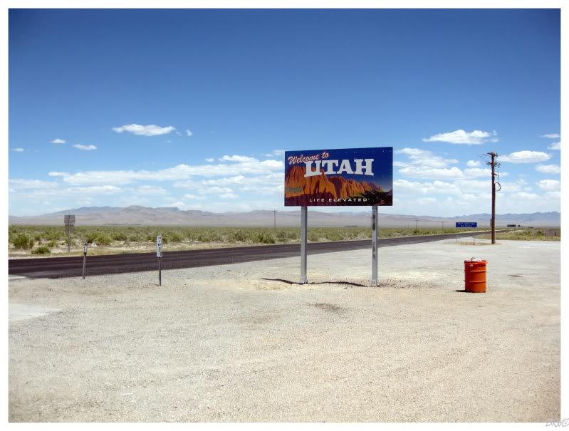
The end of Nevada meant the start of Utah.
We had been pulling over at state welcoming signs a lot during this trip, so one in the desert with a rare convenience store was certainly worth a stop.
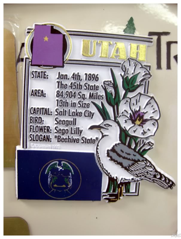
While U.J. cooked Easy Mac, I inspected the typical state shot glasses, spoons and magnets. To my amusement, I discovered that Utah's state bird was...the Seagull!?!
What the heck kind of state picks the majestic Seagull as its state bird?!? Also, the Seagull isn't even a proper bird...it's a slang word for a family of birds (gulls) - shouldn't it be the Black-Backed Gull? Or the Herring Gull?
(I would later learn it is the state's bird because people were starving as their crops were being decimated by crickets...until Seagulls showed up & ate all of the destructive crickets...
"When it seemed that nothing could stay the devastation, great flocks of gulls appeared, filling the air with their white wings and plaintive cries, and settled down upon the half-ruined fields. All day long they gorged themselves, and when full, disgorged and feasted again, the white gulls upon the black crickets, list hosts of heaven and hell contending, until the pests were vanquished and the people were saved." -Orson F. Whitney re: the devastation of the crickets. )
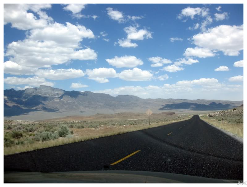
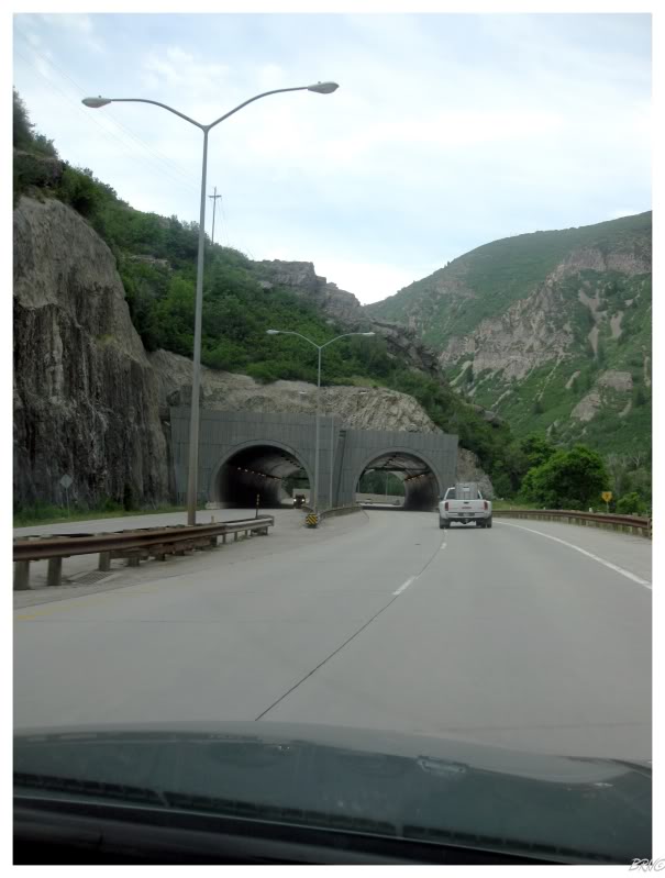
The state line might have been in another desert valley, but Utah soon delivered with their own equally wonderful mountain pass.
Unfortunately this would be our last Western Utah mountain pass & we soon found ourselves surrounded by salt flats. I don't know if Life referred to this entire road section as 'The Loneliest Highway', but Utah had its own 81 miles devoid of structures between the state line & our first community of Hinckley.
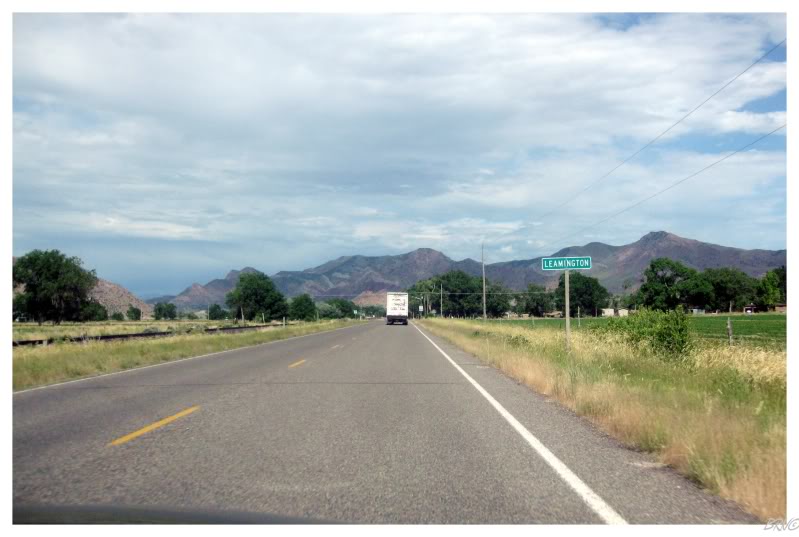
The start of the communities coincided with the start of arable land.
I took the above picture because of Leamington, Ontario, and then I was surprised when I came home and found out that now I've seen every Leamington in North America.
(There are only 2.)
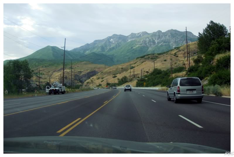
I never thought much of Utah beforehand, but driving the curvy interstate through the state's mountains, I grew infatuated with The Beehive State.
The highest point in Utah involves a 28.8 mile hike & I can't wait to do it one day.
Maybe not if I keep eating these crazy things though!
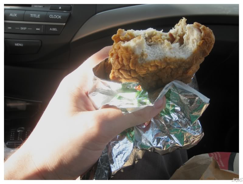
At this time, the KFC Double Down was near its peak in popularity & hoopla; yet still weren't available in Canada. Therefore I decided to have one here in Utah, as I didn't see any good fast food options like Taco Bell, Del Taco or Jack-In-The-Box.
The Double Down didn't feel all the unhealthy in terms of fast food and I was actually more appalled while eating the Double Baconator or the McDouble Quarter Pounder. The Double Down actually seemed a healthier option than those two. If KFC would have just put a bun on the Double Down, I doubt anyone would have taken notice.
Aside from the Double Down, the Utah KFC was also noteworthy because they asked for your name when you ordered; so when it was ready they would yell "Tony" and then ask if you needed anything else before saying, "Well thanks for choosing us Tony! I hope you have a great day!"
Continuing along, it wasn't long before we turned east at Salt Lake City and were into Wyoming.
I've been to Wyoming before & it is one of my favourites. I sat back with a stupid grin; I was happy to be back.
We drove through Evanston and I was sour that the sun was setting and would soon disappear.
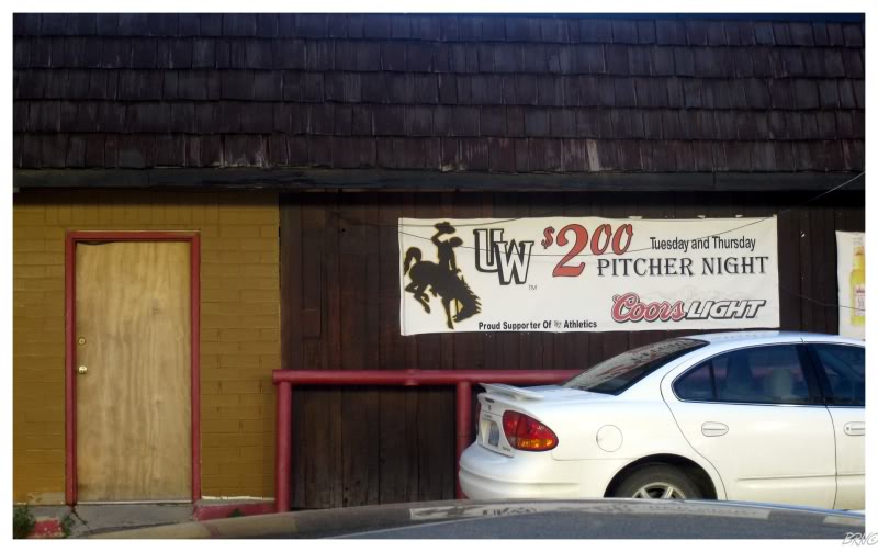
Thanks to the lay of the land though, it stayed around longer than I expected. It remained above the horizon while we went through Green River and U.J. told stories of the Green River Killer0 & into Rock Springs, where we discovered the place to find cheap pitchers and the probably the type of women that like $2 pitchers.
We didn't partake in the $2 pitchers.
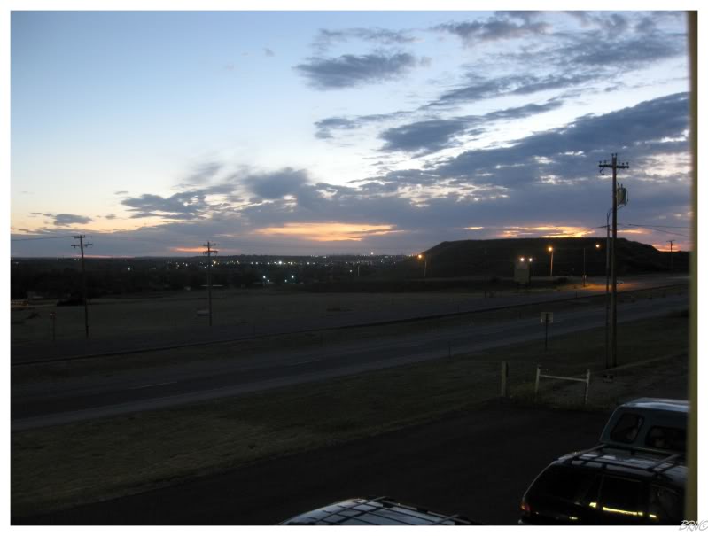
We briefly stopped at a Rock Springs concrete plant to take pictures of yet another amazing sunset; before U.J. continued to drive for another hour until Rawlins. From there we went north on a secondary road and it started to thunderstorm. I was trying my damndest to stay awake and keep U.J. entertained, but I eventually fell asleep.
Thankfully she somehow stayed awake, and after a very long & desolate drive, we finally came across a motel in Casper. I moved from the car to my bed in a matter of minutes, maybe staying awake in the room for all of 5 (minutes).
Onto Day 15.
Total Distance Covered To Date: 8428km (5237mi)