U.J.'s photo
| The Mother Road, Route 66: Day 5 (Map) | < Back to Day 4 |
Bristow, OK to Conway, TX (via Arcadia & Oklahoma City, OK) - 496 km (308 mi)
Summer 2010.

U.J.'s photo
Waking up in Bristow, I amused U.J. when we drove to the town Sonic and I had a footlong chili cheese dog & tater tots for breakfast.
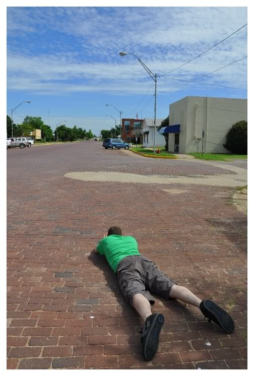
Full of calories, fat & grease goodness, I was ready to go & ready to attack things like Davenport, Oklahoma's brick main road; bricks manufactured by their own Davenport Brick & Tile Company and placed in 1925.
U.J.'s shot of me trying to take a close up picture of the bricks, turned out better than my own picture.
Leaving Davenport and passing through Chandler, we noticed a sign saying that the highway was closed five miles ahead. We paid it no mind & figured that we could drive around whatever obstruction had closed the highway.
When five miles were driven, we discovered the highway was out because an entire bridge was being rebuilt.
So much for the plan of driving around it.
Easy enough, this aint the East Coast...this is close enough to the Midwest that there has to be a grid system of county roads!
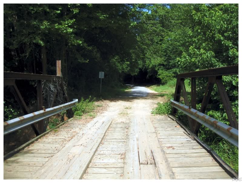
With that, we turned around on Route 66 and made a right turn onto some "Ranch Road" towards a bull riding arena. We eventually made two more right turns and found ourselves on some dirt road going over 1-car bridges, seemingly leading back towards the Route 66 we just left. All the while, I was thoroughly enjoying these back roads & fixing to get out of the car; but apparently U.J. wanted no part of leaving the car, since she saw a giant dead snake back on the Route. A snake which I somehow missed - the only animal I saw was a live turtle that was adorable in its attempts to hurry across the road at the sight of our car (but obviously only being capable of turtle speed).
Our dirt route looped directly back to The Mother Road. We would try a left turn instead & that succeeded in eventually dropping us off past the broken bridge.
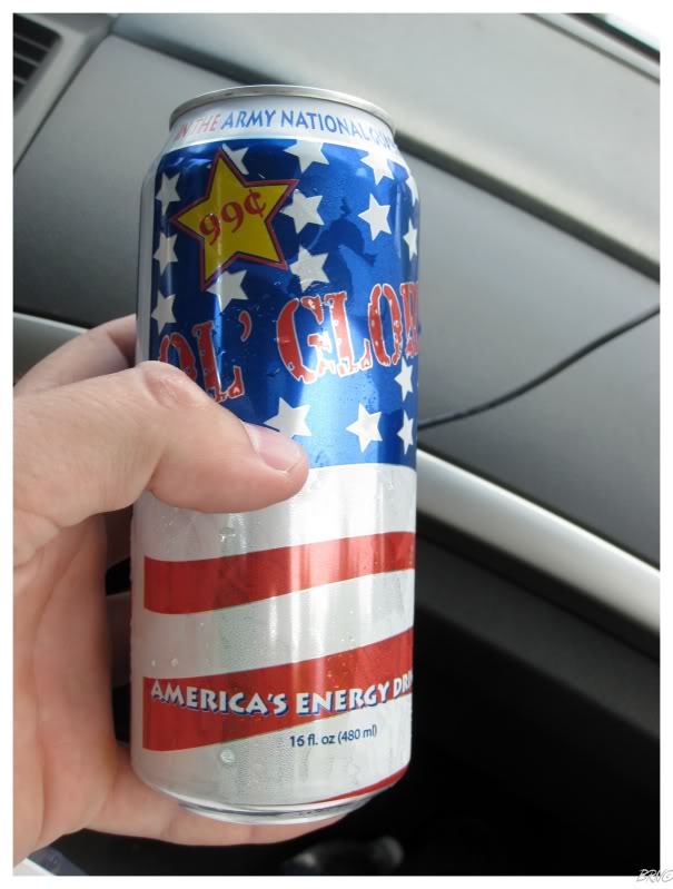
I was worn out from all of that, so I needed America's Energy Drink to get my head back into the game.
(I wanted to bring one of these home for you Steve, but I wouldn't see them on the road trip again)
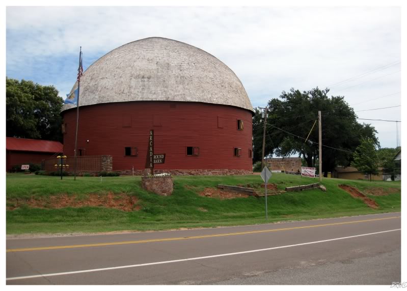
We stopped at the 1898 Round Barn in Arcadia, Oklahoma.
Nowadays there's a hall on the second floor & a gift shop on the bottom floor.
Next up was the state capital: Oklahoma City.
American state capitals are quite often in peculiar cities, since those location decisions were largely made something like 200 hundred years ago. This means they're in places like Lansing, Frankfort & Jefferson City, instead of Detroit, Louisville & St. Louis. (Michigan, Kentucky, Missouri example).
Therefore I haven't seen very many state capitals. Even in terms of Michigan, I'm certain that I've only been to Lansing once (to see a Cursive concert with Kayla in 2004) & that I didn't have time to go see the actual state capitol building while there.
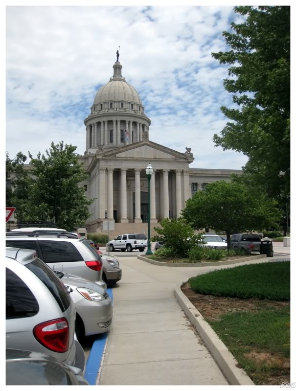
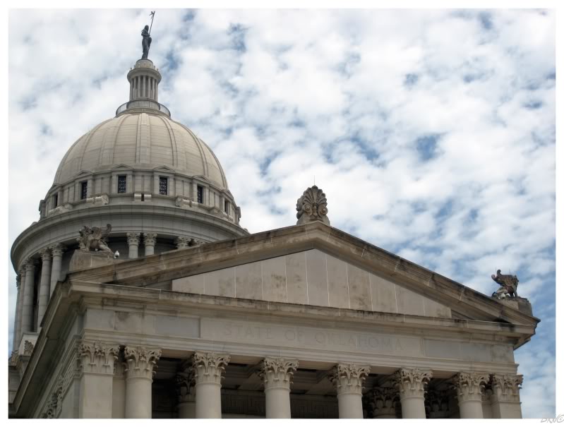
Having only visited 13 state capitals & never having had the chance to see an actual state capitol building, I asked U.J. if that was what we could do with our Oklahoma City time - see the Oklahoma State Capitol Building.
U.J. was fine with that allotment of our time.
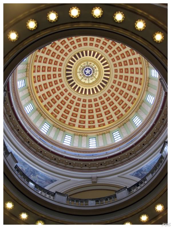
Oklahoma City's capital was built in 1919, but didn't have that classical American dome until just 2002 - when the State finally decided to put a dome on their capital for the upcoming centennial.
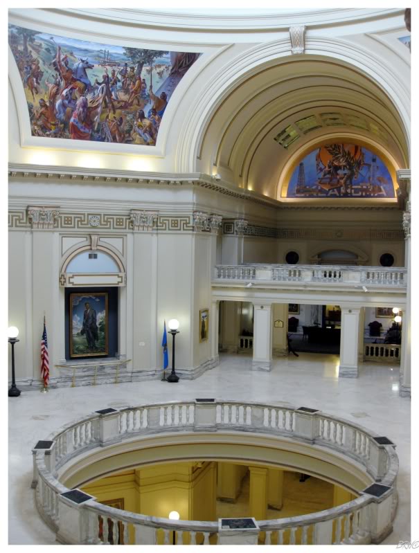
I was very impressed with my first state capitol.
I'm used to buildings of this grandeur in Detroit, but it seemed like everything was in tip-top shape in OKC; instead of the holding-onto-vacancy-by-dear-life that you commonly see in Detroit.
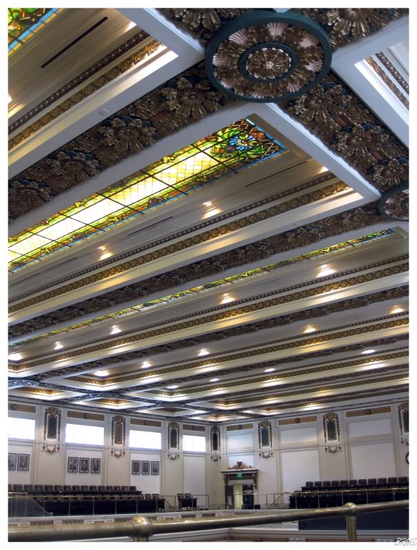
Exploring the building was also kind of weird because it felt like you were sneaking into places.
Were we really supposed to be in the Oklahoma State Senate Chamber?
I obviously know these places have tight security & I'm sure we were being monitored, but it was odd & awesome at the same time to be able to wonder around and admire random beauty from the good ol' days at our own leisure.
I have no basis for comparison, but you set the bar fairly high Oklahoma.
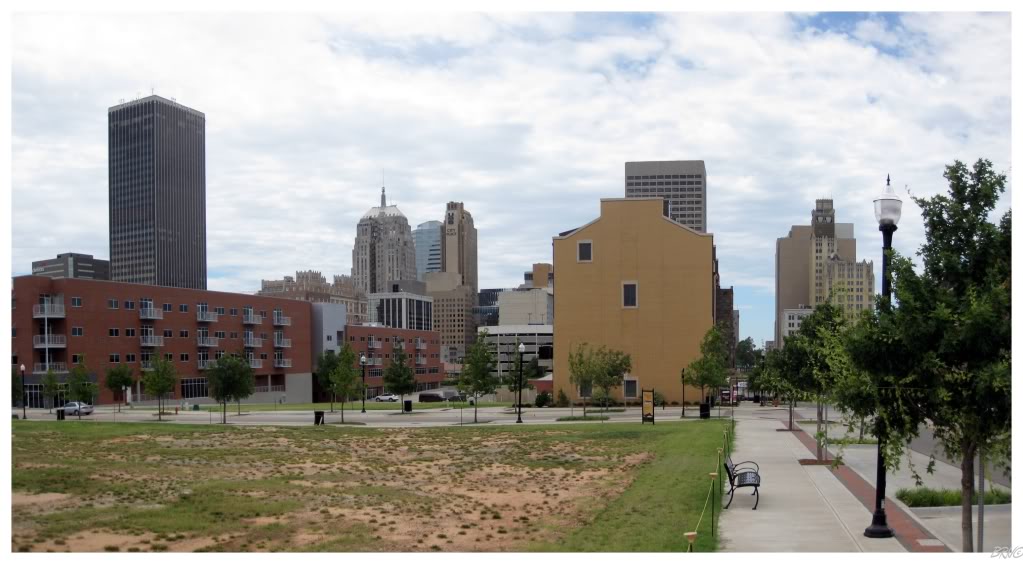
Leaving the Capitol Building & heading downtown, here is the skyline.
I was curious about the vacant lot we stopped at, but it was only a parking lot that was tore up for new housing & green space.
Also, the Federal building that was bombed in 1995? It was just to the right of that beige building you see on the right.
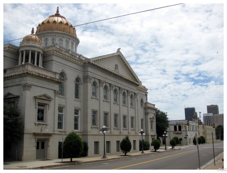
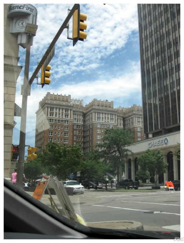
Overall, I was impressed with the density of OKC, but you have to imagine that there are missing buildings, since there would be an impressive building, then 3 blocks of forgettable buildings, then another impressive building...and so on.
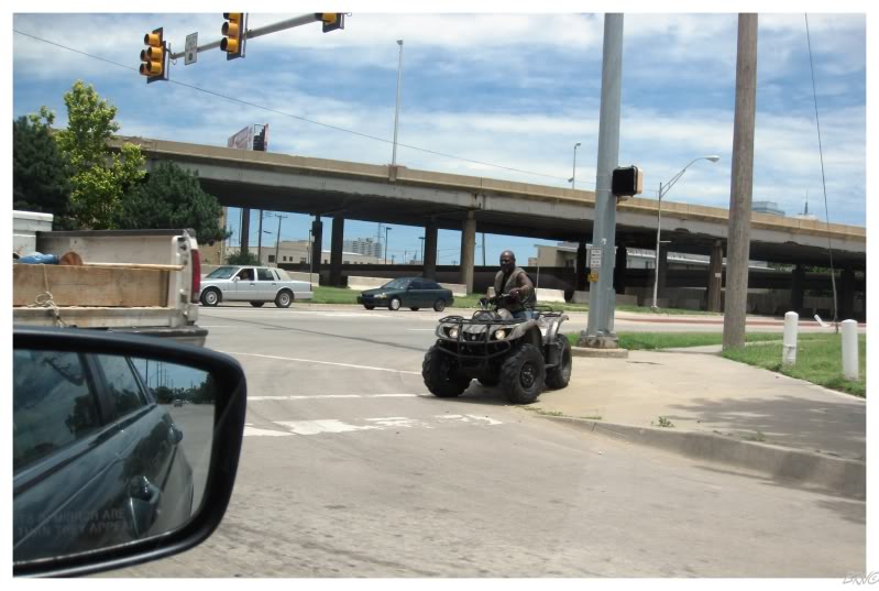
We also spotted this about 10 blocks from downtown!
Points to OKC for that I suppose.
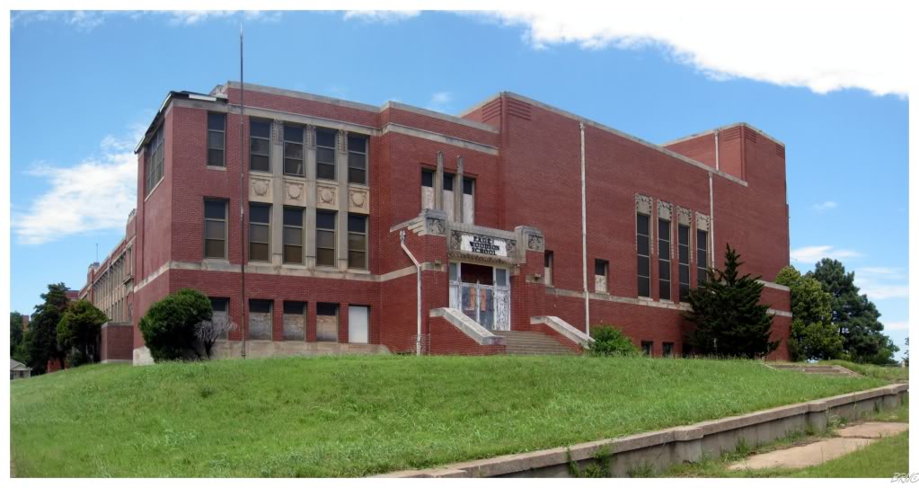
I had some building targets in mind for Oklahoma City, so we eventually exited downtown and drove over to Page Woodson High.
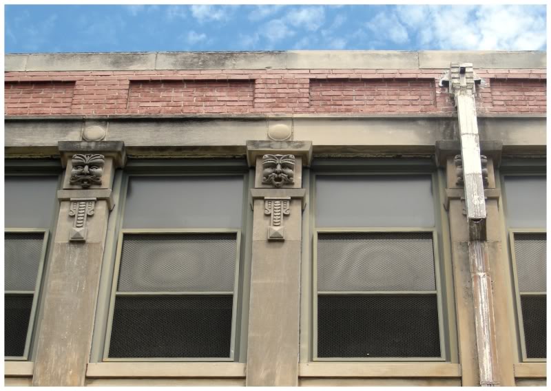
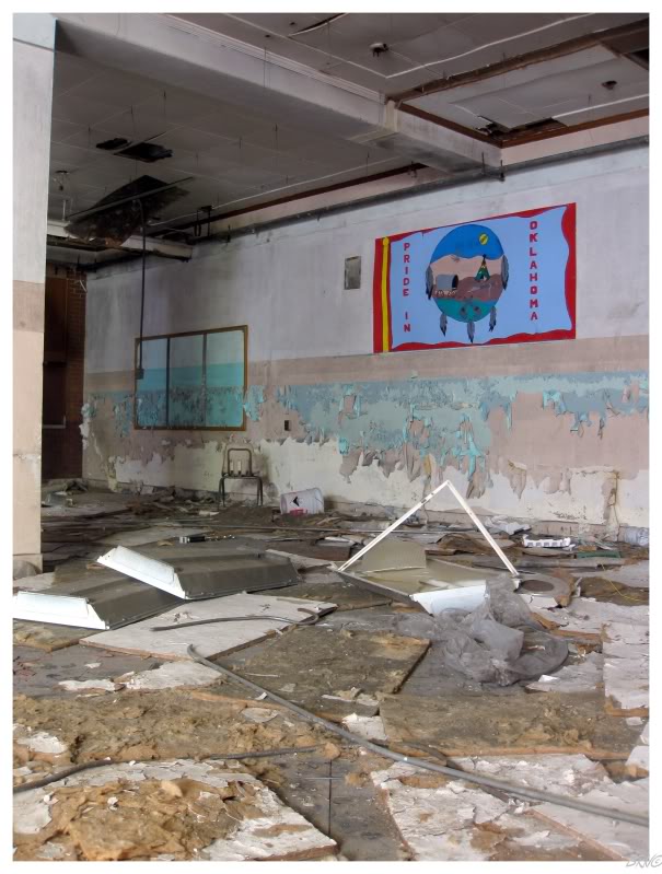
Page Woodson was built in 1911 & converted to the first black high school in the State of Oklahoma in the 1920s.
It would continue being a high school until the end of segregation in Oklahoma in the 1950s. From there it became a 5th grade school (a brief Oklahoma idea to have a school between elementary & middle school), before becoming an elementary school until its closure in 1994.
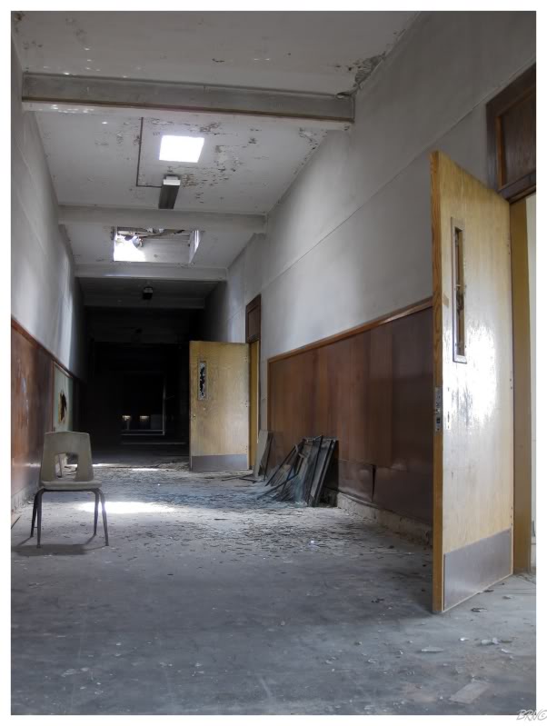
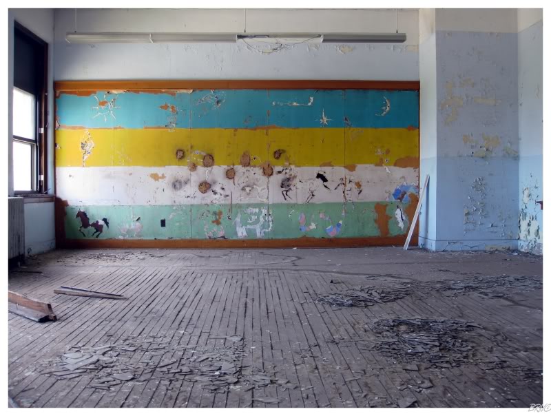
It was quite empty.
Even so, I could explore an empty one-room schoolhouse & I'd be happy.
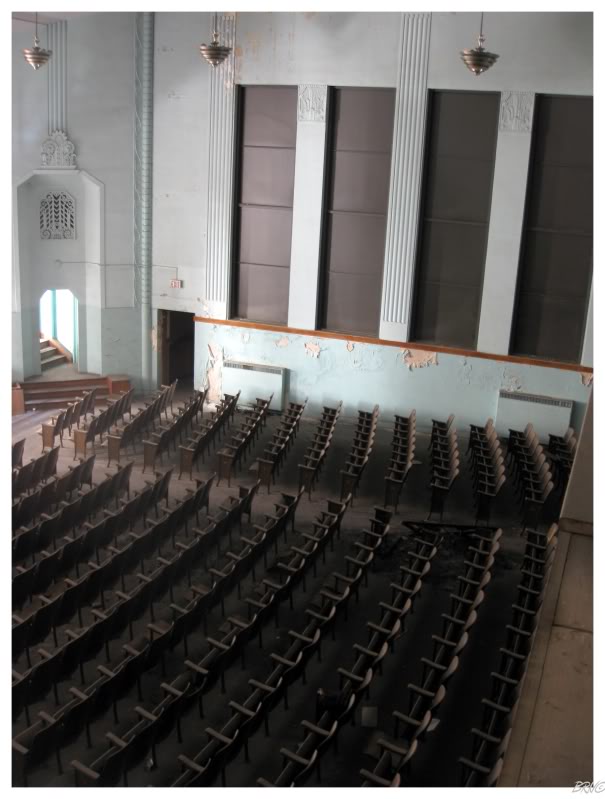
The theatre irritated me to no end...a skylight or a hole in the roof meant that the stage was bright as 2p.m., but the curtains meant the sunlight only illuminated the stage & the rest of the theatre was pitch black.
This led me to spending 10 or 20 minutes in the auditorium sorrily trying to capture the scene.
Meanwhile, after only 30 seconds of being in the theatre, I heard a loud bang and grew confused. This bang would occur many times over the next 10 minutes until U.J. came into the theatre and told me a metal screen was flapping in the wind.
There is an explanation for everything.
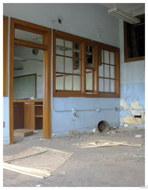
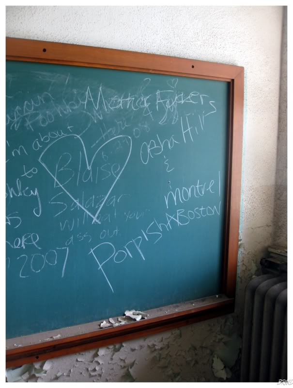
Noticing the 'Montreal' & 'Boston' on the chalkboard, I wondered if Chowdaheads & Frenchmen were following the Route like us.
Then I remembered that this is a common route to California - they were most likely simply going west.
(I really should have put a '>' symbol between Boston & Montreal as well0)
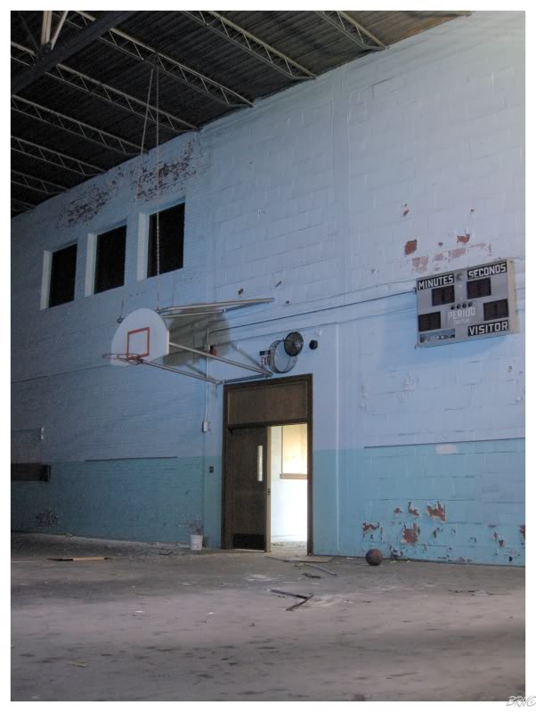
We finished up our visit to Page Woodson in the gym, which was one of those enclosed box spaces with very few windows.
The scoreboards were still in place along with some brackets & basketballs.
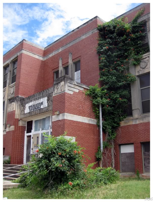
Redevelopment plans have come & gone for Page Woodson, but there are people excited about doing something with the school since it's such a large part of the state's black history.
It's a nice building in a somewhat empty area. Neighbouring areas seem to be healthy and on the up-and-up, so hopefully this renewal leads to Page Woodson's (own renewal).
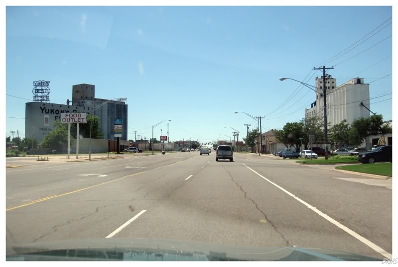
After going through Bethany (and making jokes about 'being in' Bethany), we came to Yukon, Oklahoma!
Which I was excited about, not just for the neon sign atop their giant silos...
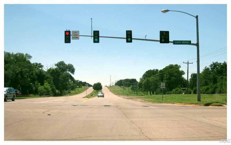
...but also because it's Garth Brooks hometown!
Woo!
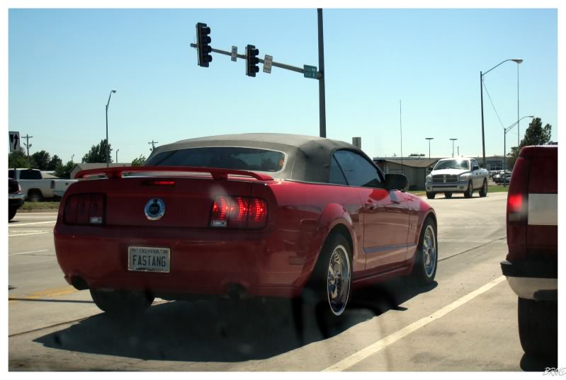
"Fastang"
Clever.
(Probably about as clever as making jokes about 'being in' Bethany)
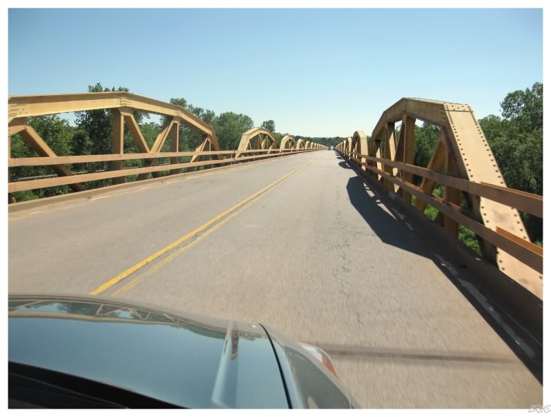
Another 45 minutes on the road & we suddenly were crossing the impressive South Canadian Pony Bridge!
Impressive because of the 38 trusses which you can see above (this picture was already halfway across the bridge). Impressive because it is 3/4ths of a mile long.
Neat because I would later learn that this bridge is actually in the movie The Grapes of Wrath.
Since it's my favourite book, I've always meant to get around to watching that movie. It'll probably mean even more now.
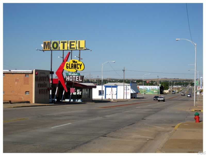
After another 20 minutes, we found ourselves in Clinton, Oklahoma.
While U.J. was filling up the car with gas, I walked down the road to get a shot of the funky giant that is the Glancy Motor Hotel sign.
These motel signs scream Route 66 & I was trying to do my best to record them more, instead of simply taking pictures of skylines & abandoned schools.
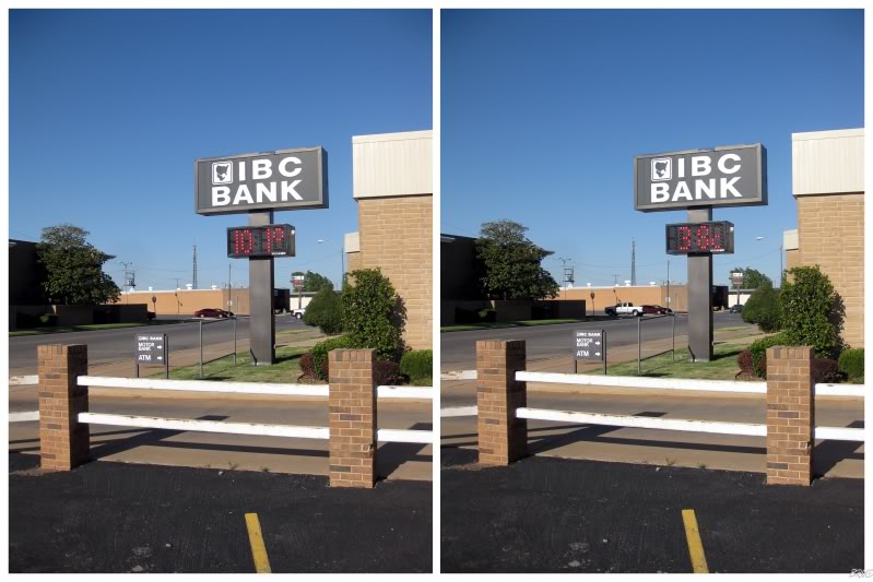
Still in Clinton, I noticed a new digital temperature high for our trip!
I was also astonished as we stopped to shoot the 101° picture...and then the sign switched to Celsius!
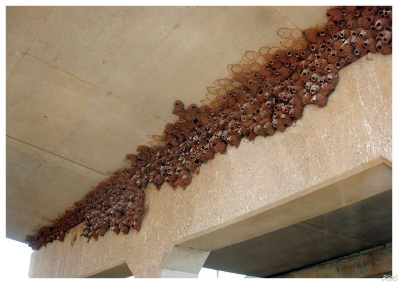
Continuing along, I started to notice small birds diving from elevations to the undersides of bridges & overpasses.
Route 66 would soon pass under Interstate-40 and we would discovered these caked, hive-looking things jammed into the support corners. Confused, we continued along until we went under another overpass & stopped.
It must have been dinnertime, because just in that 2 minute period that we stood there, we had to have watched 50 cliff swallows come & go, either delivering food to their chicks, or adding material to their nests.
It was a sight to behold & one that made me wish I had a mean camera lens which could capture some close up scenes...like the second picture on this website: http://oklahomabirdsandbutterflies.com/cat/3/71
Another 45 minutes & we passed through Elk City, then onto Sayre, Oklahoma.
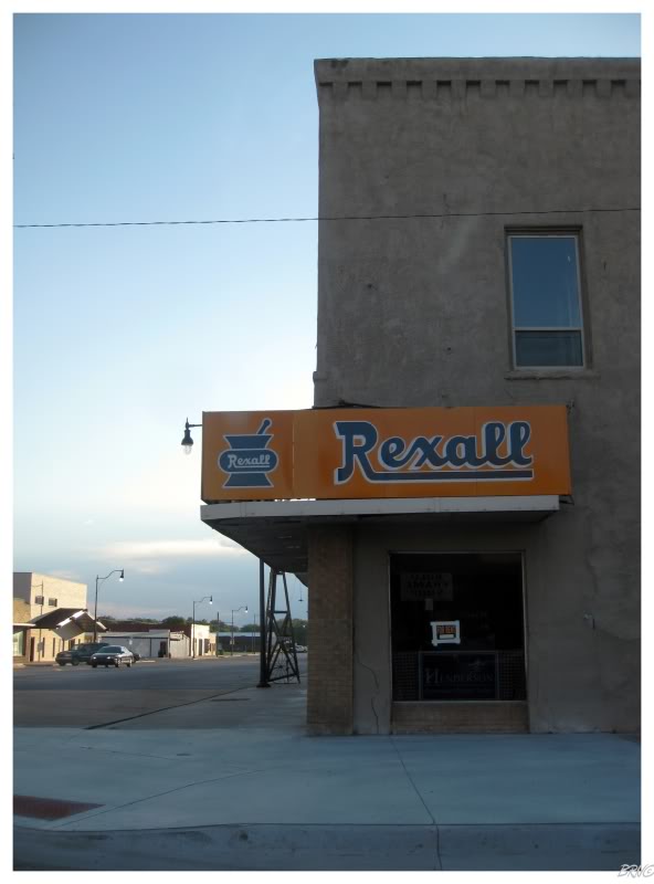
I thought Rexall was a Western Canadian thing, so I was surprised to find this vintage sign in Sayre.
Apparently Rexall used to be HUGE in America, actually outnumbering McDonald's1. Eventually the company would crumble and the name was sold to a guy who thought it would be be a good name to reuse in Canada as a chain pharmaceutical brand.
Odd.
The sun was setting on our day & we had about 25 minutes of Oklahoma left.
Passing through Erick, we came to our last Oklahoma town: Texola.
With a couple of newer cars parked at houses, Texola wasn't an abandoned ghost town, but it had the feel of one anyway. U.J. & I parked half on the road & not a soul passed us during our 15 minutes in Texola.
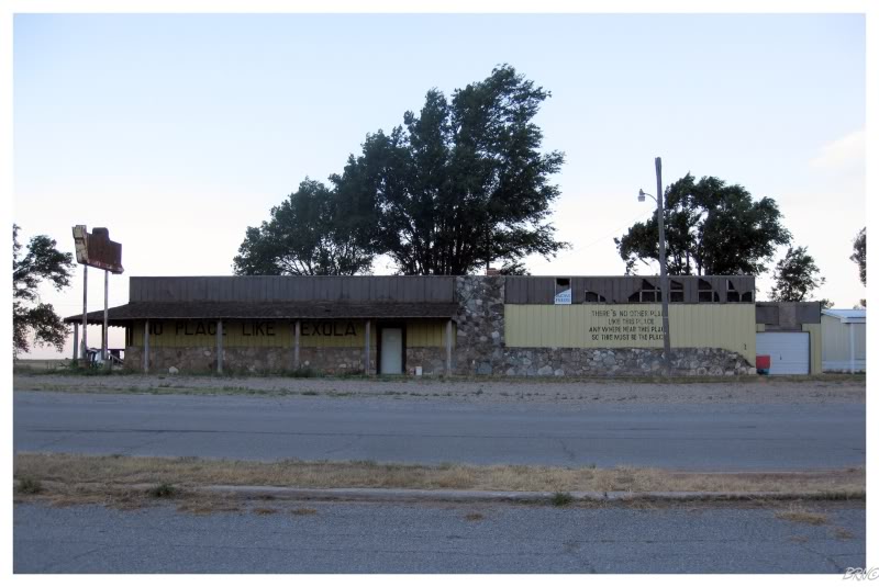
Wide open buildings were on both sides of the street & even though our guidebook said the Texola Bar (above) was open, I had trouble believing it.
With the sun setting & the warm wind picking up, I still vividly remember standing on that very road & listening to the deafening silence.
While some parts of Oklahoma weren't exactly bustling, the silence, the lack of water, the sparseness of trees & the complete absence of moving cars gave Texola a memorable bite to it. While I've been looking at maps to remember other places, I didn't need any help remembering Texola.
The slogan on the side of the bar reads, "there's no other place, like this place, anywhere near this place, so this must be the place."
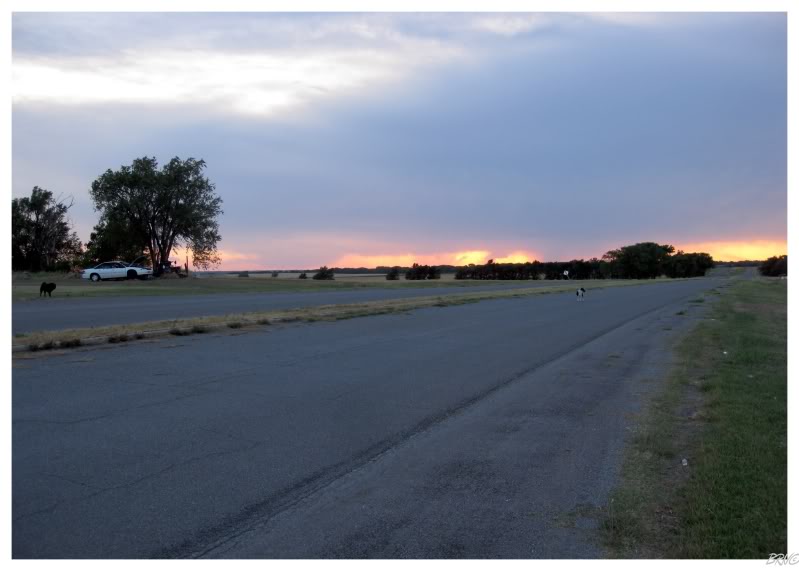
A pack of Texola dogs kept us from wandering very far from the automobile.
As U.J. started the car & we tried to go west, the dogs surrounded the vehicle and commenced attempts of barking us to death. U.J. did that thing that girls do, and got all flustered instead of simply dealing with the situation...which annoyed me to no end, as I repeated over & over, "drive, go, just keep the car moving, they'll move. Drive, go, just keep the car moving, they'll move."
...and sure enough the dogs eventually grew tired with us & stayed in Oklahoma.
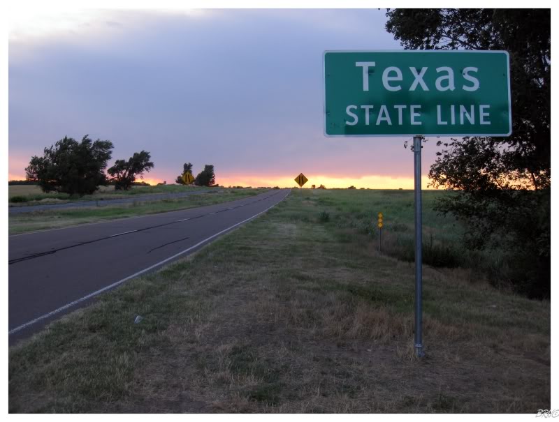
...and we were Texas bound!
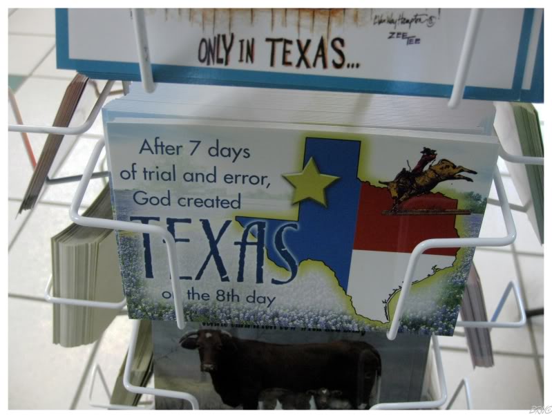
Yee fuckin' haw!!!
The #1 new state I wanted to see! Especially the unique Panhandle portion!
(Because of No Country for Old Men, Sleepercar's West Texas album, Doyle Brunson & their no nonsense stereotype)
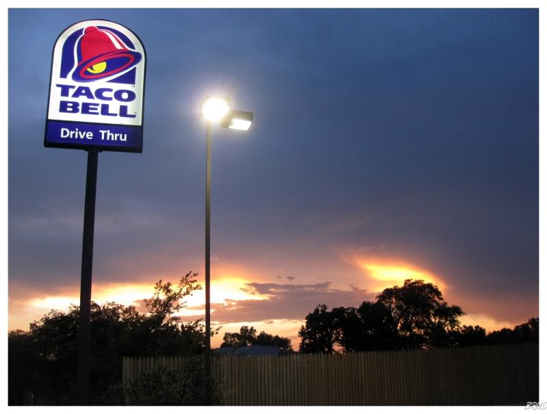
I also had to laugh at the above scene.
There were about 9 people in line & the employees looked useless, so I decided against waiting 25 minutes for this appealing Taco Bell...
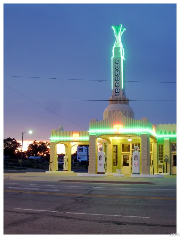
20 minutes into Texas was the town of Shamrock & the U-Drop Inn and Tower Cafe.
It was highlighted as a 'must-see' on U.J.'s list & this was one landmark I actually recognized on our Route 66 itinerary.
I enjoy art deco architecture, so I must say that seeing an art deco gas station at sunset wasn't half bad.
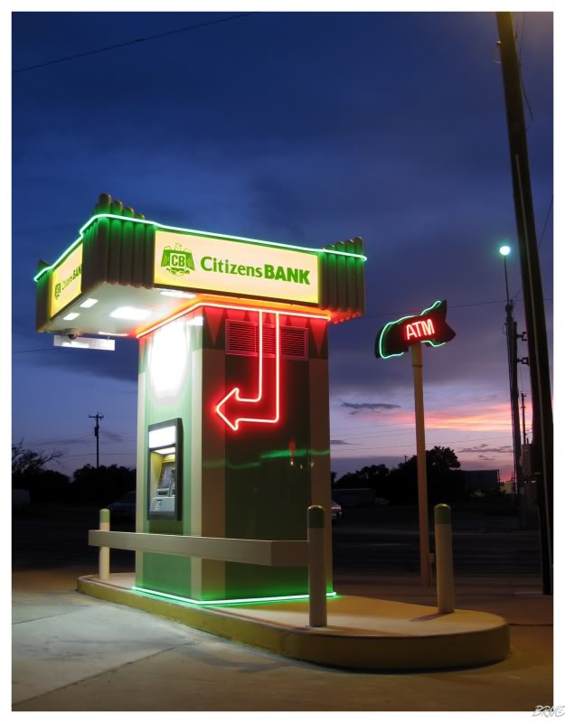
Citizen bank has an awesome ATM across the street - built to smoothly blend in with the U-Drop Inn Cafe.
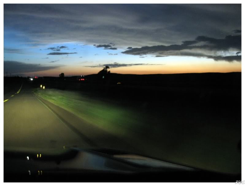
Leaving the rolling hills of rivers & trees in Oklahoma, the land of Texas quickly flattened as we reached the Llano Estacado - one of the largest tablelands (mesas) in North America.
It seemed like the sunset lasted forever as we drove flatlands westward while listening to Sleepercar's West Texas album.
The #1 location I was excited for on this trip wasn't disappointing.
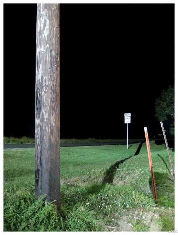
Obviously the sun would eventually set & we would need to rest for the night.
An hour away from the art deco gas station, we would come to the hamlet of Conway, 28 miles outside of Amarillo.
The Panhandle of Texas is only 300 kilometres (180 miles) across & we had already covered nearly half - I didn't want to pass anymore in the nighttime.
We cracked Coors tall boys & enjoyed the Texas local-access channel.
I would recommend watching that channel if you're ever near Amarillo - it is every Texan stereotype multiplied by 10 and diluted with nothing.
Onto Day 6.
| Day 1 Windsor,ON to Mooseheart,IL via. Michigan City,IN |
Day 2 |
Day 3 St.Clair,MO to Bentonville,AR via. Cuba,MO & Mt.Magazine,AR |
||||
Day 4 |
Day 5 |
Day 6 Conway,TX to Albuquerque,NM via. Armadillo,TX & Tucumcari,NM |
Day 7 Albuquerque,NM to Williams,AZ via. Flagstaff,AZ & Winslow,AZ |
Day 8 Williams,AZ to Rialto,CA via. Oatman,AZ & Needles,CA |
Day 9 Rialto,CA to Pasadena,CA via. Salton Sea,CA & Mexicali,Mexico |
Day 10 |
| Day 11 Oxnard,CA to San Jose,CA via. Big Sur,CA & Monterey,CA |
Day 12 San Jose,CA to San Francisco,CA via. Lick Observatory,CA |
Day 13 San Francisco,CA to Hickison Petroglyphs, NV via. Sacramento,CA & Carson City,NV |
Day 14 Hickison Petroglyphs,NV to Casper,WY via. Leamington, UT |
Day 15 Casper,WY to Winner,SD via. Keystone,SD & Oral,SD |
Day 16 |
Day 17 |
Go Back to the Main Page of this Website