| The Mother Road, Route 66: Day 8 (Map) | < Back to Day 7 |
Williams, AZ to San Bernadino, CA (via Oatman, AZ and Needles, CA) - 670 km (416 mi)
Summer 2010.
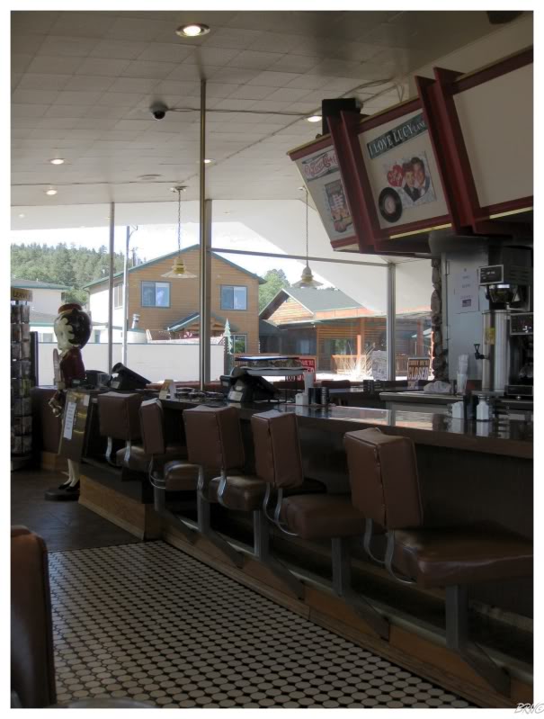
Waking up in Williams, we ate breakfast in town as the road ahead looked desolate.
We found a diner & U.J. was pleased. I can't complain that much, because I suppose I should be doing stereotypical Route 66 things while on a Route 66 trip.
As we ate, a quartet of middle-agers began discussing the Wreck of the Edmund Fitzgerald much to my amusement - because since I have two friends who hate that song...obviously I know the lyrics word-for-word. Unfortunately, the middle-agers had their facts all wrong, but it was amusing to sit there and shake my head at their lack of knowledge.
Leaving Williams & heading west, we reached Peach Springs after two hours of driving.
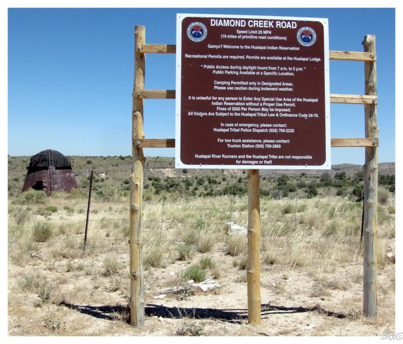
The reason we stopped in Peach Springs was to see the Diamond Creek Road - the only road which travels to the bottom of the Grand Canyon. The road looks amazing, but we read 'primitive road conditions' and laughed at the prospect of putting U.J.'s mom's poor car through even more punishment than Route 66 already had.
We weren't paying the Hualapai Indian Reservation $16 for a travel permit on this day; back to Route 66 with us...
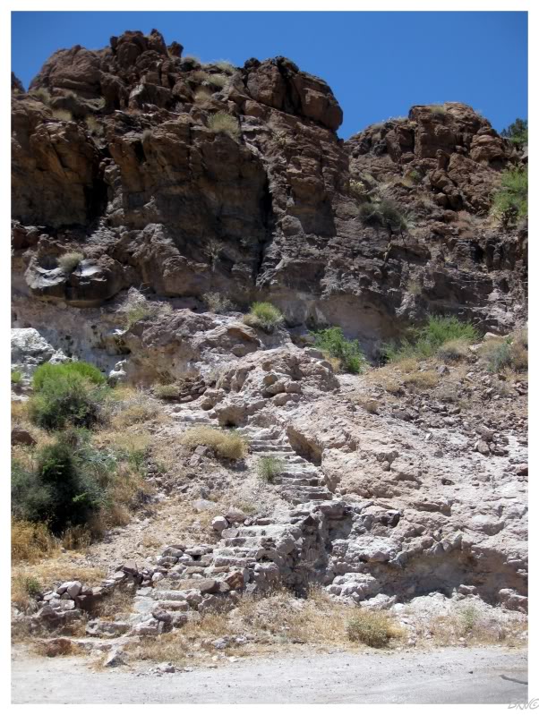
The next stop was at Shaffer's Spring - U.J.'s guide informed us that stairs led up to a hot spring in a rock cut.
When we hiked the 60 stairs to the top, the view was absolutely incredible.
The Spring ended up being a glorified puddle with goldfish swimming around - which confused us both.
Checking the internet, it seems that someone must come here and restock the hot spring with goldfish periodically; as various tourists have seen them & other tourists have found an empty, green puddle.
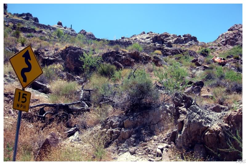
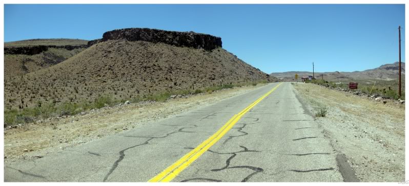
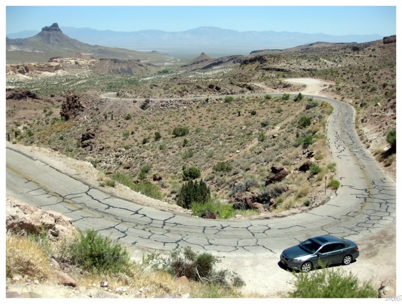
As you can see from the previous picture, this area had changed from that flat desert to arid mountains with dramatic curves and not a guardrail to be found.
After one particularly sketchy turn, I looked back up the mountain & noticed this car which wasn't so fortunate as our Hyundai.
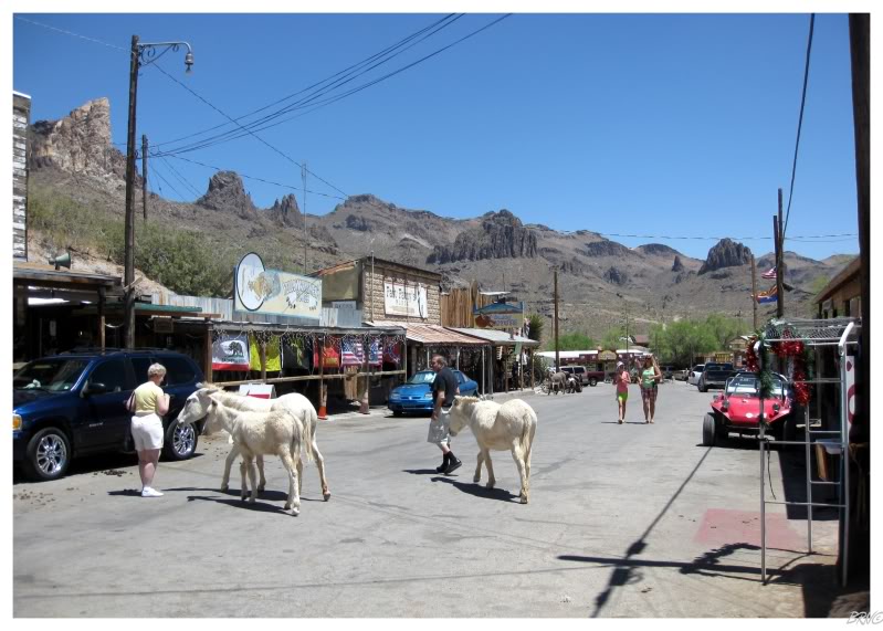
It was only a few more miles & we had reached Oatman.
Oatman is notable & sizable because of the wild burro population. The town used to be a healthy mining community, until the government shut down the gold mine because of WWII. After the government shut down the mine, the miners eventually left their worker burros behind to fend for themselves as everyone left town.
The burros would almost die out, before finally going into town and realizing that people would feed them. After this revelation, the burros would turn into an attraction, with carrot selling booths and plenty of tourists stopping to see the 'wild' animals.
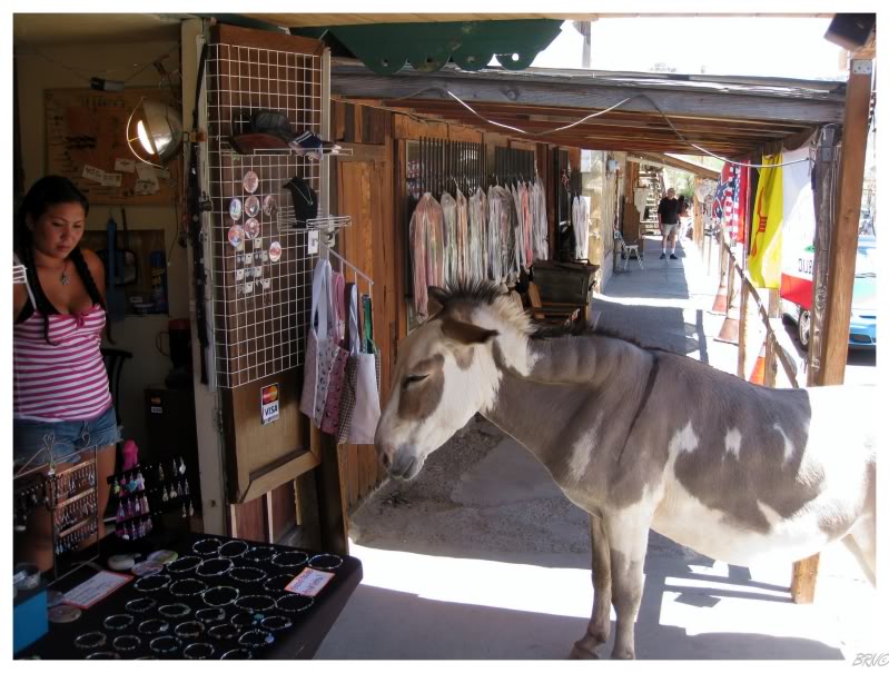
Away from the Flagstaffs & Seligmans, Oatman was the healthiest community we had seen in Arizona.
The remaining residents are actually lucky their predecessors left the burros behind.
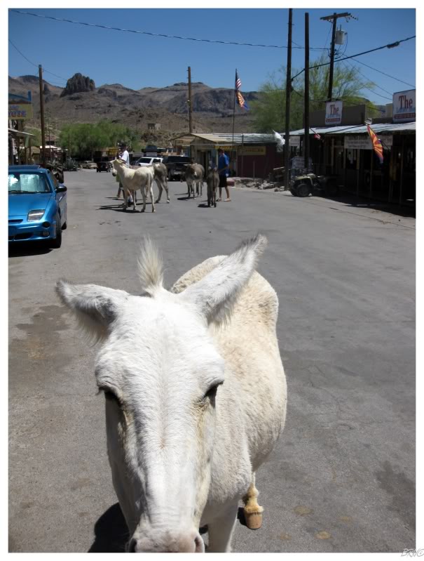
"Quit artfagging me & give me a carrot damnit!"
Eventually U.J. tired herself of the cute burros & we were right back onto Route 66.
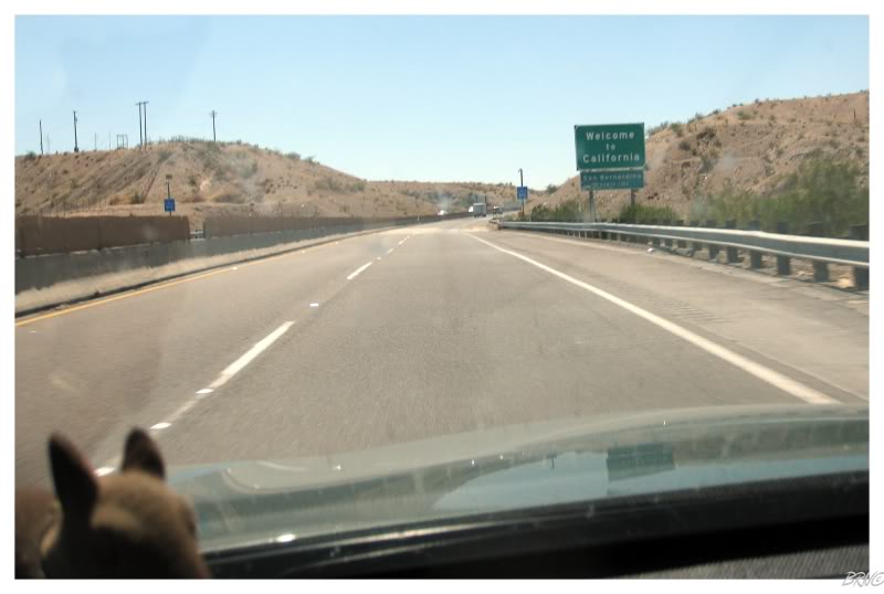
After driving through "Catfish Paradise, Arizona", we would finally enter California.
Upon crossing the state line, both of us were completely disappointed by the pathetically basic "Welcome to California" sign. Looks like they must have spent all their money getting Arny & Maria Shriver to be in their tourism commercials.
Realize that this sign was on the interstate too; as we couldn't drive on the old Route 66 bridge across the Colorado River because it had been purchased by an oil company and made private.
Oh well, maybe there would be a better sign when we leave California.
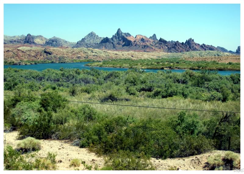
As you enter California, you are deposited in the sizable town of Needles - named for the sharp mountain peaks back on the Arizona side of the Cali-Ari border.
Random trivia: this is where comedian Sam Kinison was killed in a head-on car crash in 1992.
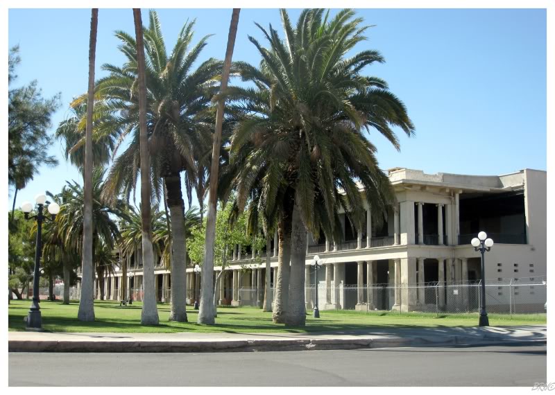
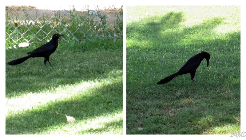
We stopped at a park in Needles to admire an abandoned hotel & I spent more time admiring this Great-tailed Grackle than the hotel.
Not having been to the south very much, it was neat to see birds that typically only go as far north as Iowa.
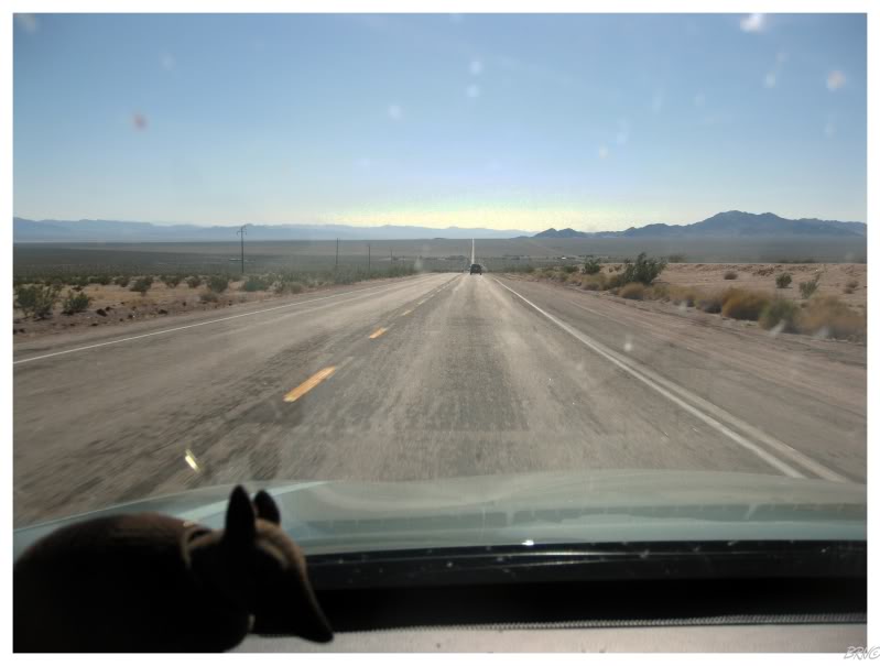
Driving one minute north of Needles, it already felt like we were driving on the surface of Mars.
This was that desert experience I was waiting for, the Mojave Desert was suddenly apparent.
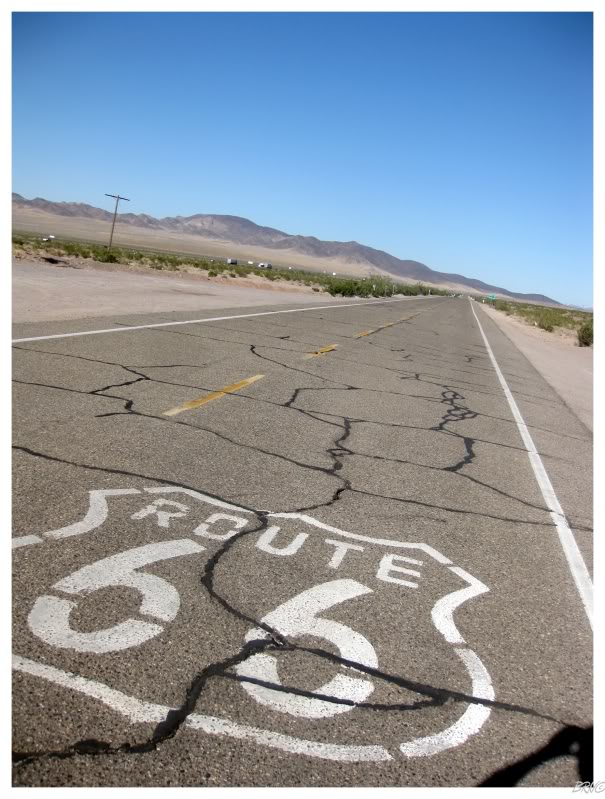
The communities out here were few & far between, and when you'd go through one, you'd blink and miss it.
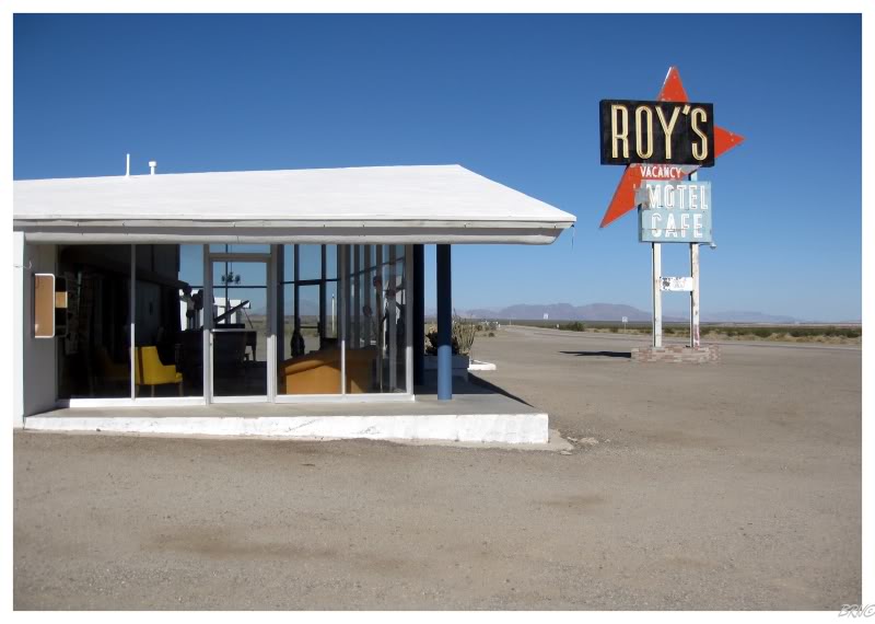
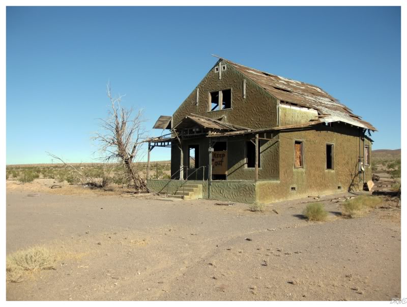
Roy's & the abandoned house above are both from Amboy, where we stopped for gas and a drink. While U.J. was fueling up, I walked around & it was unique to be in such a desolate, flat place; where it wasn't that you knew you were alone, it was so flat that you could see that you were alone.
A few more named places would pass, but we only knew of their presence because our guide informed us that we were apparently in places like "Bagdad", "Siberia" or "Klondike".
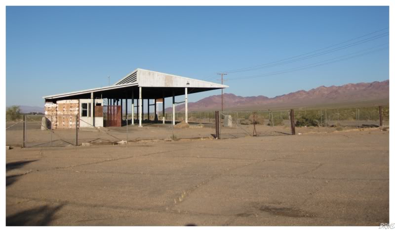
The above picture is of an abandoned agricultural inspection station in Peach Springs. It looked about as exciting in real life as does in the picture, so we opted against hoping the fence.
By this time, we had spent the majority of our afternoon in the desert & we were finally nearing an actual city: Barstow. I think the heat & desolation must have affected me a bit, as I wigged out at the sizable & somewhat sketchy Barstow. It was time for water I suppose.
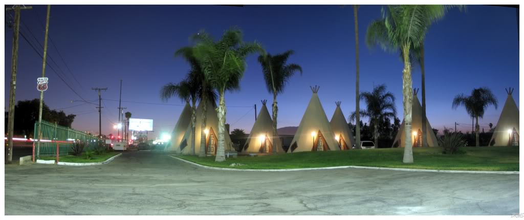
We drove another hour & a half to San Bernadino since U.J. wanted to stay at the Wigwam Motel.
In the 1930s, Frank A. Redford applied for a patent for his teepee design. A few others thought this was a good design and paid Mr. Redford to use it. 7 Wigwam Motels were built throughout the south, with only Cave City Kentucky, Holbrook Arizona & the above in San Bernadino still standing today.
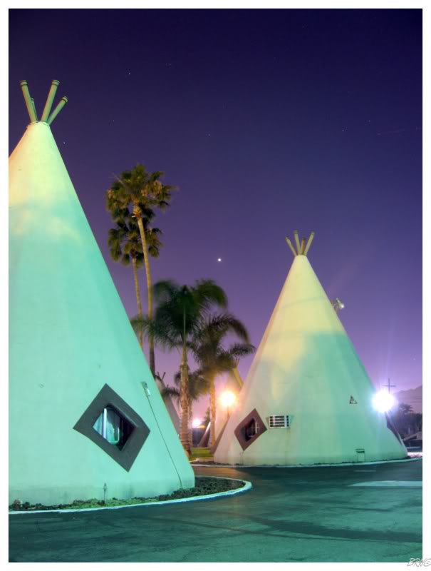
After trying Carl's Jr for the first time0, we returned to our wigwams. The interior featured rounded walls which slanted inwards from the ground towards the ceiling.
The interior was really neat, but it was difficult to convey in a picture. Instead, I took my 211 outside and snapped some night shots before calling it a night.
Onto Day 9.
| Day 1 Windsor,ON to Mooseheart,IL via. Michigan City,IN |
Day 2 |
Day 3 St.Clair,MO to Bentonville,AR via. Cuba,MO & Mt.Magazine,AR |
||||
Day 4 |
Day 5 |
Day 6 Conway,TX to Albuquerque,NM via. Armadillo,TX & Tucumcari,NM |
Day 7 Albuquerque,NM to Williams,AZ via. Flagstaff,AZ & Winslow,AZ |
Day 8 Williams,AZ to Rialto,CA via. Oatman,AZ & Needles,CA |
Day 9 Rialto,CA to Pasadena,CA via. Salton Sea,CA & Mexicali,Mexico |
Day 10 |
| Day 11 Oxnard,CA to San Jose,CA via. Big Sur,CA & Monterey,CA |
Day 12 San Jose,CA to San Francisco,CA via. Lick Observatory,CA |
Day 13 San Francisco,CA to Hickison Petroglyphs, NV via. Sacramento,CA & Carson City,NV |
Day 14 Hickison Petroglyphs,NV to Casper,WY via. Leamington, UT |
Day 15 Casper,WY to Winner,SD via. Keystone,SD & Oral,SD |
Day 16 |
Day 17 |
Sources:
Go Back to the Main Page of this Website