I woke up very early and decided to go for a bike ride around Casper. The ride downtown was a little longer than I wanted, but I eventually started to see the skyline & the buildings associated with it.
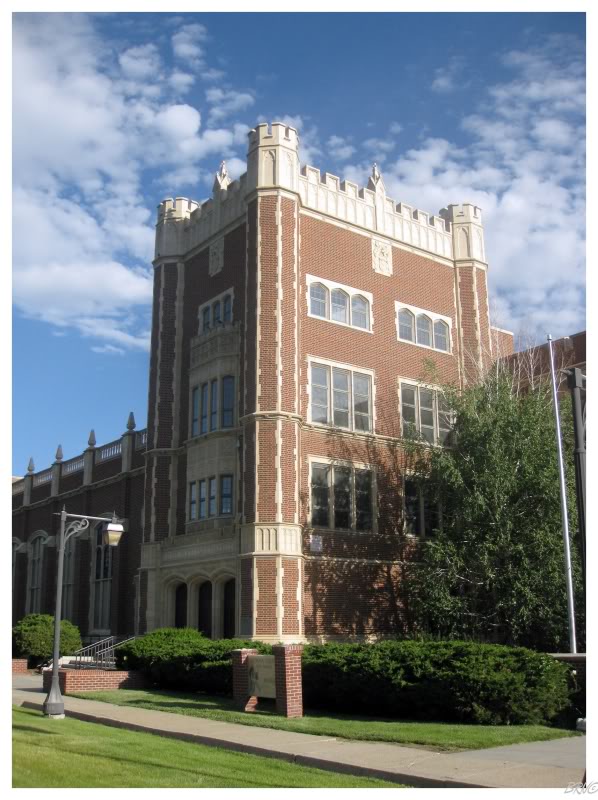
One of the first major buildings I came to was the impressive Natrona County High School. There was an assortment of flat rails, beautiful collegiate architecture and the morning temperature was immaculate - it was a fantastic time to be riding the school that graduated Dick Cheney.
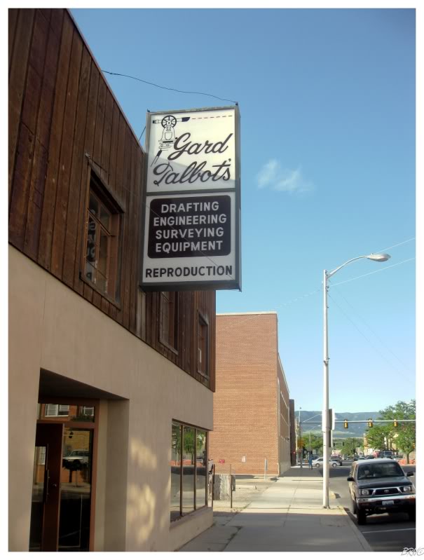
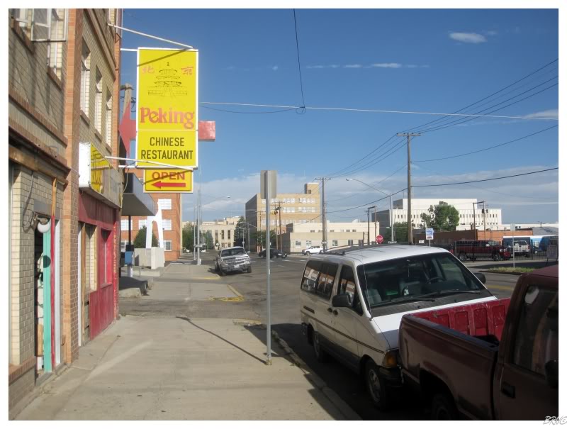
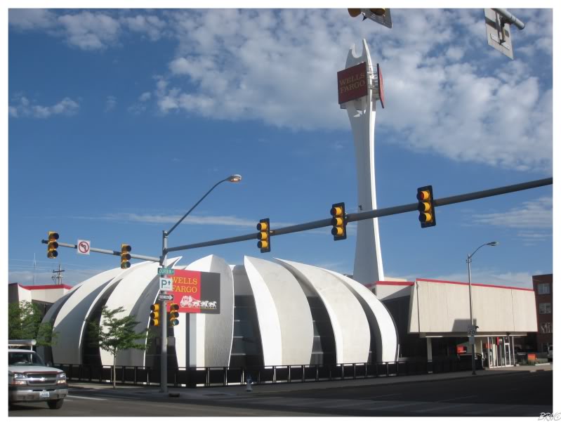
Downtown Casper wasn't a mecca of skatepark objects by any stretch of the imagination, but I still enjoyed myself.
It reminded me a lot of the time I rode around Wyoming's capital of Cheyenne; which was a pleasant experience, but not the craziest in terms of biking either.
This morning I mostly raced around Casper without doing anything all too difficult on the bike.
I spent the majority of my time biking down streets towards various interesting looking buildings.
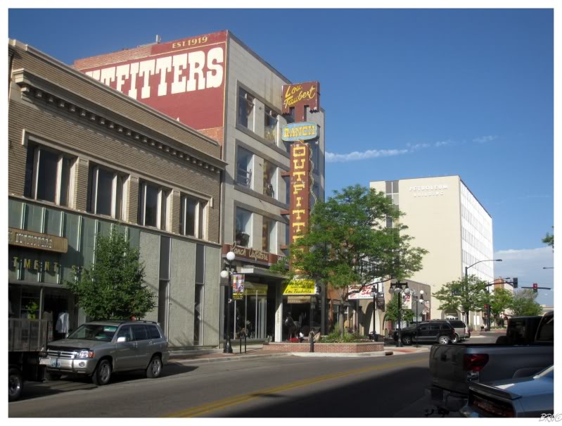
Wyoming's second largest town was attractive enough, clean, & the people seemed friendly. I have no complaints about Casper & would visit again.
Actually, I would definitely visit again, but I wouldn't stay at the same motel...let me explain...
I sleep like a rock. There could be a party in my bedroom & I'd sleep right through it. That being said, I remember waking up for 5 seconds shortly after going to bed - just enough time to whack some bug which I could feel crawling on me. I did this about 5-10 times, before finally getting up after 3 hours of sleep to go for a bike ride.
If you're reading this and thinking I'm disgusting, realize that I didn't wake up and think, "Oh there's bed bugs in this bed...well, back to bed!" When I wake up, it takes me a good 3 minutes to realize what's going on and why I've awakened. Therefore this was instinctual swatting & falling back asleep; my brain didn't even assess the situation.
Anyway, when I finally returned to the motel, U.J. was standing outside & angry about a bedbug in her own bed...where I replied, "Oh, yeah, I think there was more than one in mine!"
U.J. wasn't amused.
She called the motel owner & chewed him out before getting a refund...three free hours of sleep and a shower we supposed.
U.J. wanted to quickly leave Casper & I grew concerned about what we'd find for breakfast outside of the major city. When we pulled through Lusk Wyoming, a drive-in didn't look very promising for breakfast, so we settle on a boring coffee shop.
That coffee shop exceeded expectations and lifted our spirits with delicious coffee & sizable breakfast wraps!
We lucked out in Lusk.
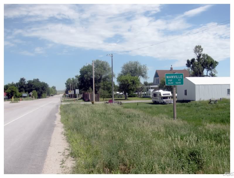
I also pulled off the highway in Manville, Wyoming to cheer U.J. up. Her bedbug anger seemed to be dissipating.
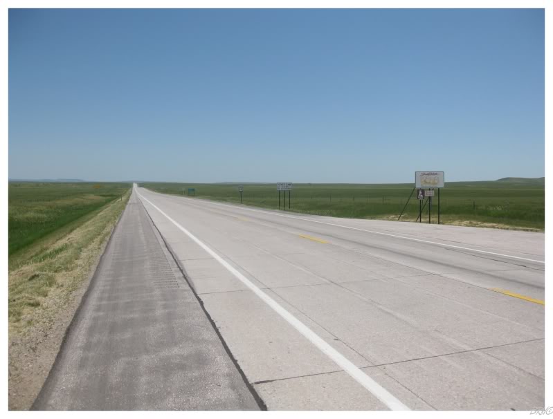
Even though we still had an hour left in Wyoming, there wasn't another Wyoming community before the South Dakota border.
I always found it funny how I had been atop South Dakota (by passing through North Dakota) and below South Dakota (by passing through Nebraska), but had never been to South Dakota.
That would change this day. State #44, The Mount Rushmore State.
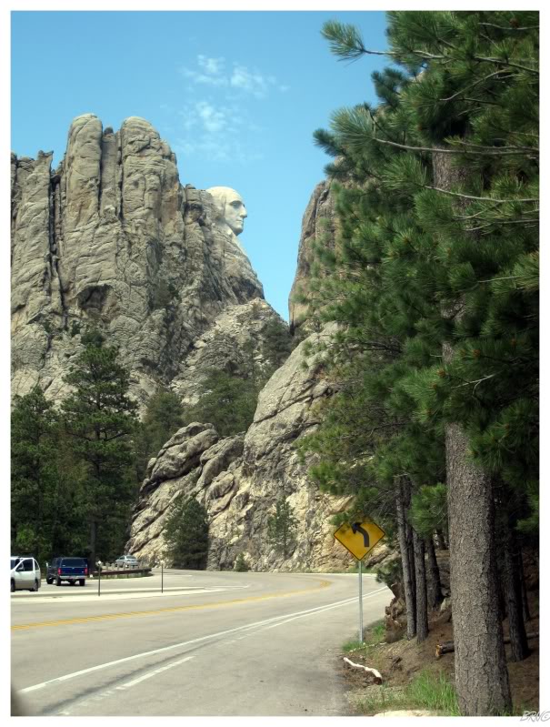
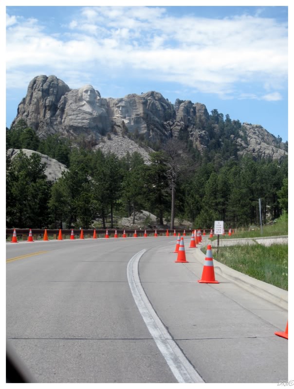
While South Dakota started out relatively flat, we quickly returned to hills as we went to one of the most famous mountains - Mount Rushmore.
I've always been told that Mt. Rushmore is cool, but sort of a checklist item (i.e. "Ok, I've seen it, what's next?")0. U.J. had seen the monument before and it was my decision whether to pay the $10 for closer parking, which I declined.
Instead of the pay parking, U.J. drove slowly enough for me to take a proper picture and more importantly, reflect on some of America's greatest figureheads.
I found this all very amusing because it happened to be Canada Day. I was also very pleased, because I've discovered much more patriotism in Newfoundland & quite frankly, it frightens me. It was nice to be about as far from Canadian patriotism on Canada Day as possible - it reminded me of being back in Southern Ontario.
I've now spent 2 out of the last 3 Canada Days in America.
Another hour of driving in the Black Hills brought us to Sylvan Lake Campground; where we would set up base camp for the highest point in South Dakota!
Grabbing a couple fiber bars and a water, I was ready to break camp. This difficulty 3 (out of 10) highpoint was mine!
I joke here because Maine was a difficulty 5 highpoint. It is incorrect to say the scale is exponential, but the difference between climbing to the top of Maine and to the top of Indiana (a difficulty 1 highpoint), makes the difference in difficulty rating very apparent. This is why I mock a difficulty 3 highpoint.
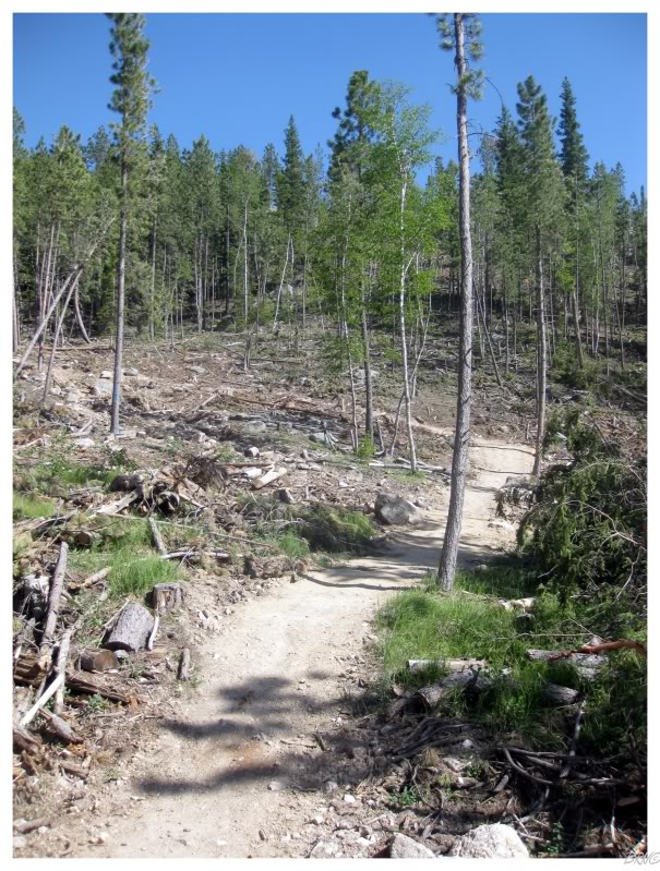
The first portion of the trail gently climbed from a parking lot to the top of a ridge. The pine beetle infestation had resulted in many of these trees being removed & therefore the trail wasn't very majestic.
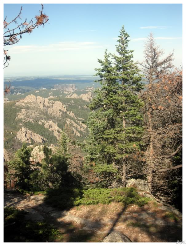
At the top of the ridge I could see Harney Peak far off in the distance.
You're going to have a tough time finding it in this picture as it is just a small blip on the left side.
The highpoint trail is 6.1 miles (9.7km) roundtrip and the peak seemed very far off at this point (making me question my mockery of this difficulty 3 climb).
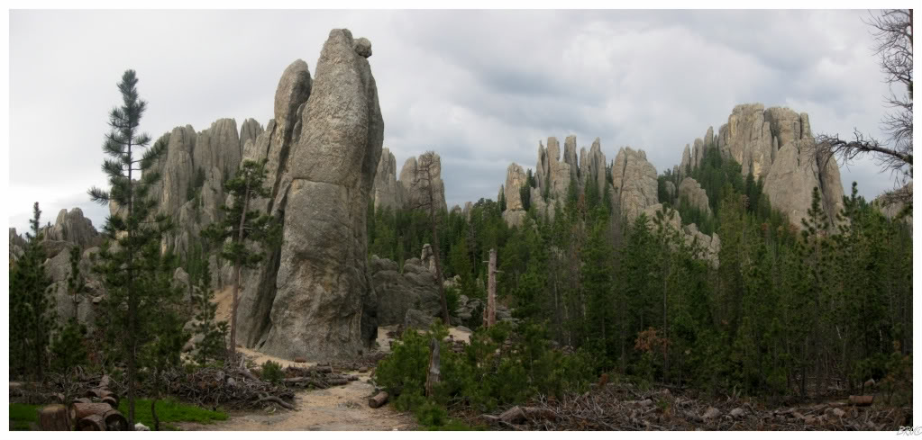
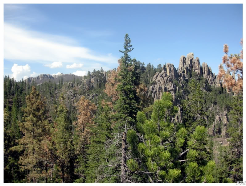
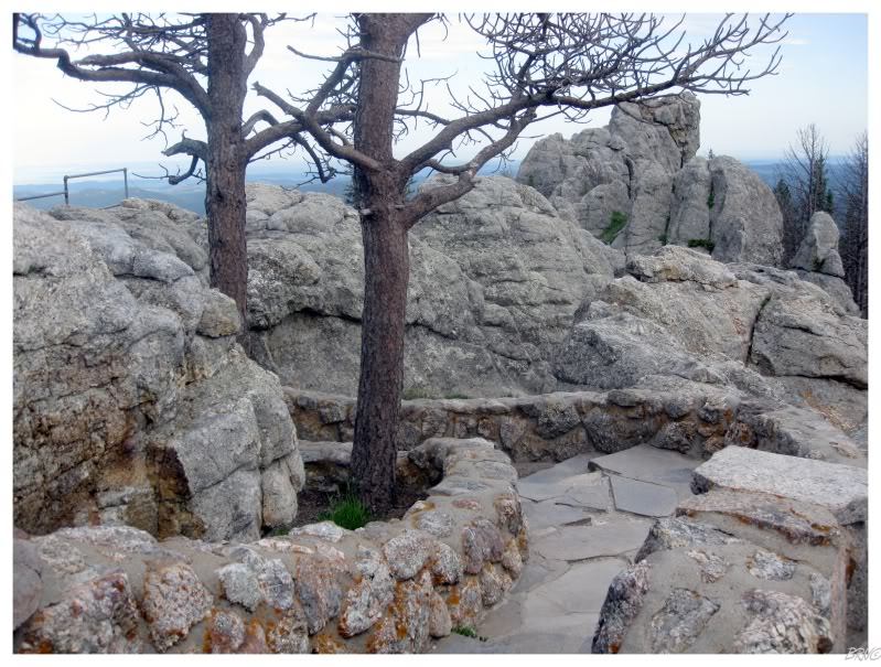
The trail led to the west and into the needles for which the nearby highway was named.
The needles are granite spires and towers which have eroded away and are left reaching towards the sky. To walk the sandy path around and through them was a memorable experience; as I have never seen a similar landscape, much less walked one.
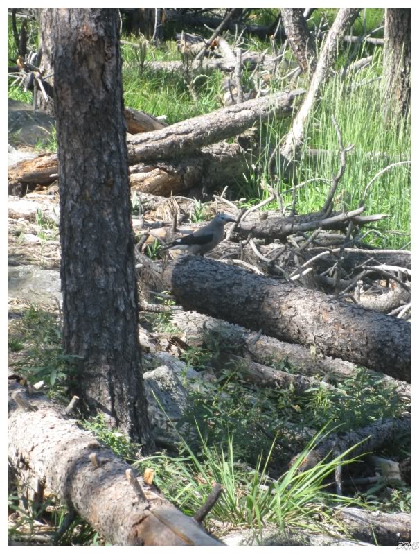
I stopped a little bit further, as a pair of Clark's Nutcrackers were ahead of me & flying from shadow to shadow as I advanced along.
I tried to take a good picture of them, but their love of the shadows meant it was an exercise in futility.
The trail was mostly flat as it passed through the needles; before gaining a bit of an angle as it moved through a forest.
As signs began to indicate I was getting close to Harney Peak, the slope increased to the point where breaks were now required. The breaks weren't so bad because I was now high enough to enjoy distant panoramas above the trees.
Finally, after a terribly grueling 45 minutes, I had reached the highest point in South Dakota!
State highpoint #7!
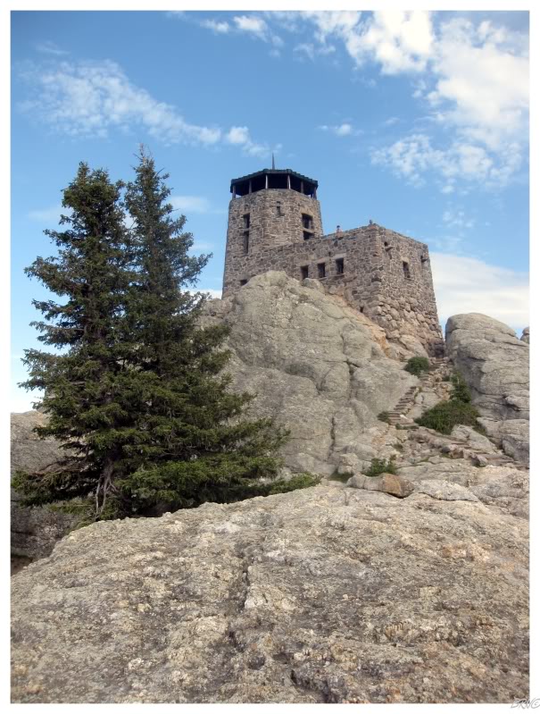
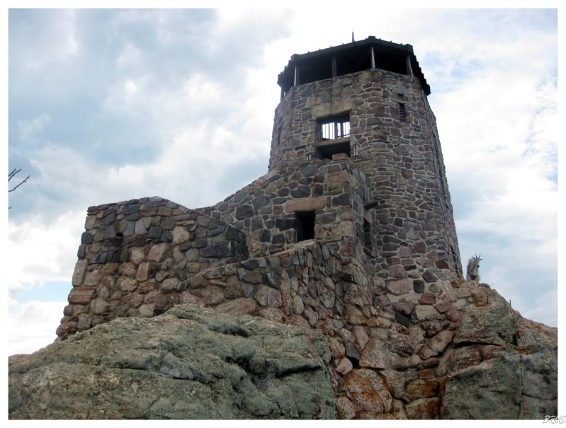
An abandoned fire tower sits about South Dakota and you can now understand why this location was a 'must stop' on our Route 66 Trip itinerary.
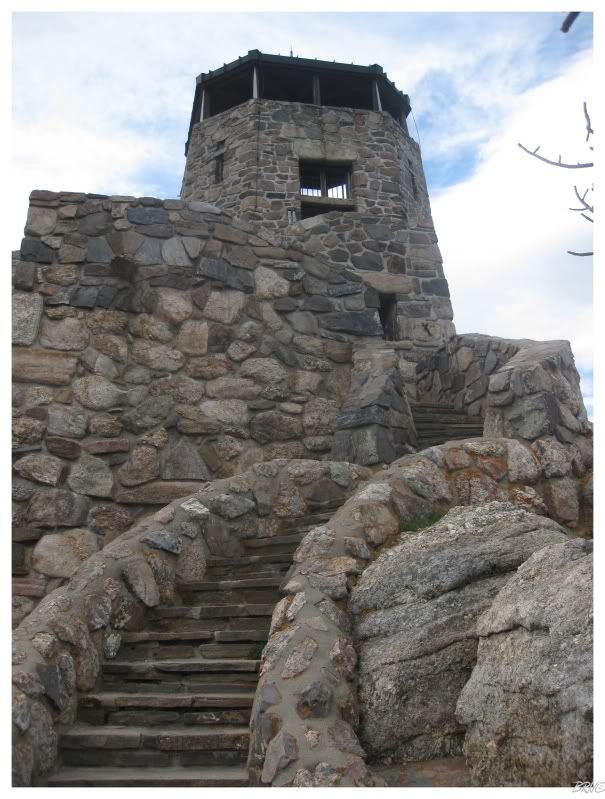
The fire tower was even more awesome than I imagined. Stone steps curved up to the peak, with intricate staircases and ledges extending along.
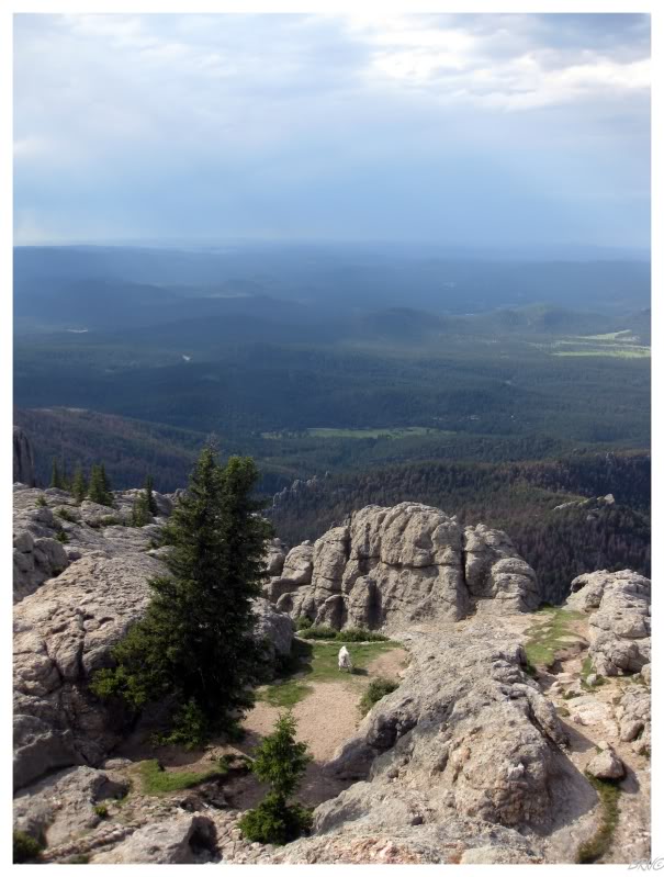
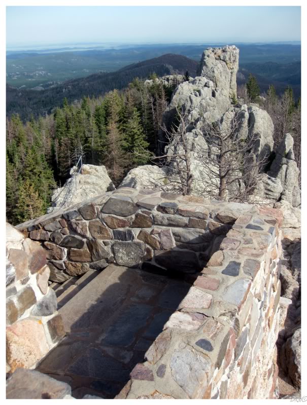
I moved into the fire tower and upstairs to the incredible view. A middle-aged hippy couple were also up there, enjoying the view themselves.
The woman pointed out a blue-headed vireo (a small songbird), before pointing out the Mountain Goat...
Mountain Goat!?!
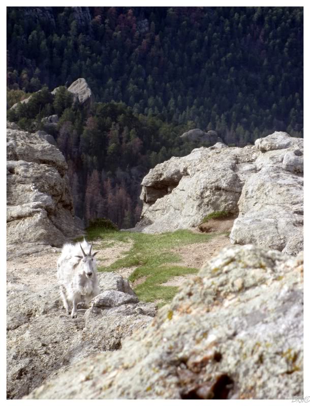
Well I'll be damned! It's a Mountain Goat!
I rushed out of the firetower without taking a picture of the interior because I was all too excited to see this alpine mammal.
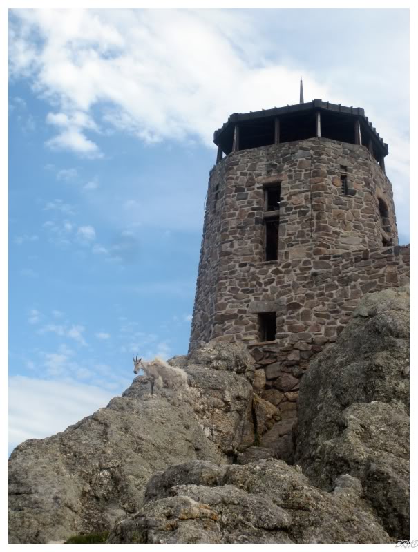
Mr. Mountain Goat left his grassy area and climbed the rocks to a precarious location beside the fire tower; as if to claim the fire tower as his & not mine.
He could claim all he wanted; but I was still exploring an abandoned fire tower with a Mountain Goat.
As I was artfagging the mountain goat, the hippy couple let me know they were hurrying down the mountain as the indigo clouds weren't looking very good.
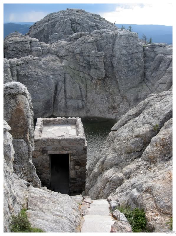
I was obviously noticing the coming storm clouds as well, but I had hoped they would hold off for a bit longer. I rushed down the stairs to the swimming pool before one last glance & a disappointing sigh that I had to leave after 10 short minutes.
I hurried and it took me about 45 minutes to get up the mountain, and now I was hurrying down. It wasn't long before I heard the first crack of thunder & started into more of a jog than a trot. The rain would start soon after and really began coming down. Thankfully I'm still sort of young & spry, so I was capable of leaving the mountain quickly.
It was pretty crazy to see the storm pop up so quick and watch other hiking families try to somehow organize & return to the campground during all of the chaos. I tried to help one mother when she asked for directions to the campground. As I pointed to the west, her son looked at me and said, "Mom!!! What does this guy know, who is he? He doesn't know anything! Who is heeeeeeeeeeee?"
...so I continued on and left that little pisher on lightning mountain. I was back at the campground 5 minutes later, profusely sweating from running down the hill, but correct in saying that the campground was to the west.
...but who am I? What do I know?
The thunderstorm had cleared out Sylvan Lake Campground & it was much easier to leave without any traffic.
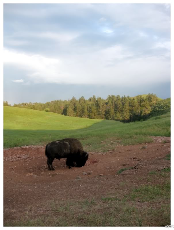
We weren't on the road for long when U.J. noticed a bison ahead and grew excited as if she somehow knew we were near bison herds.
The funniest part of it all was that we parked the car and snapped pictures/observed the lone bison which we first came across...
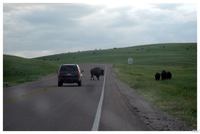
...before we moved 30 ft. over the next hill and suddenly realized there was more than one bison.
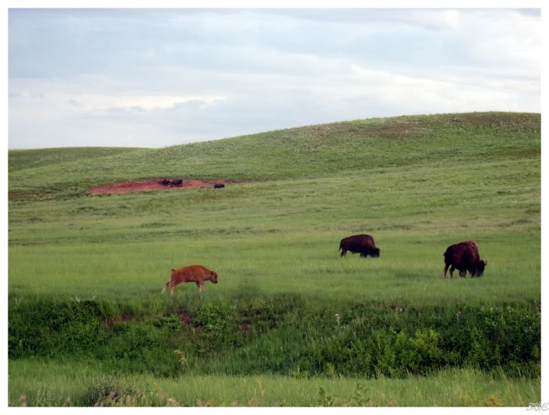
I thoroughly enjoyed watching the baby bison running around and jumping all over their parents. Just as you would envision, the adult bison are methodical and seemingly unimpressed; while the agile youngins run around and body bump the larger, slower parents.
After five minutes I had enough of a laugh at the baby bison & we left the herds behind. We soon came to Hot Springs & it appeared like the only big town for a while, so we stocked up on gas & snacks.
From there we went south to take a secondary highway instead of the interstate.
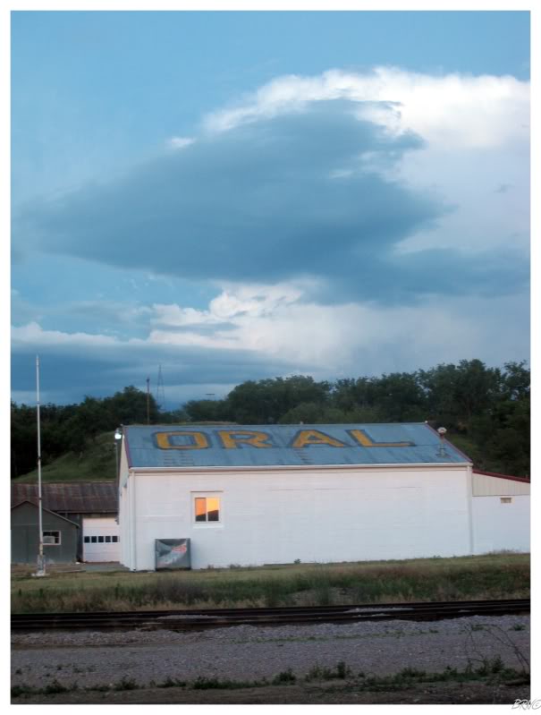
Knowing that we were within miles of Oral, South Dakota; we merged onto some random farm road for a quick laugh.
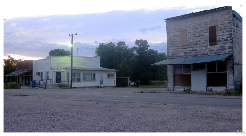
A bustling metropolis Oral was not.
Their post office (the white building) seemed to be in fine shape though.
I have no idea why we didn't eat in Hot Springs if it appeared to be the only sizable town for a while. Maybe we expected these Southern South Dakotan towns to have restaurants?
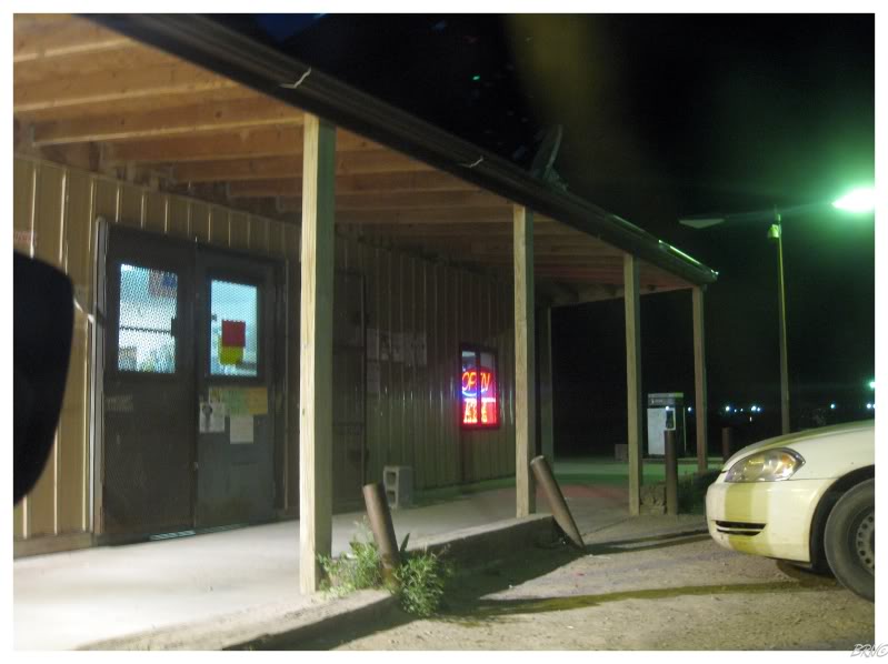
The named places on the map ended up having very few services, as we happened to be passing through Indian reservations. Our best chance seemed to be at a medium-sized casino, but we showed up at 8:45 just as the kitchen was closing.
Therefore we tried to make due by stopping at the odd reservation convenience store. In actuality, only I bought snacks at these places, as U.J. decided against getting anything to eat after a cockroach crawled across the floor in front of her.
(I was buying a sealed package of crackers, the cockroaches were of no consequence to me.)
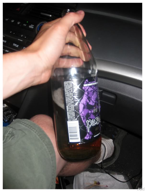
The limited snacks were okay because I had a 12% Pit Bull 40 to hold me over! Thanks Hot Springs!
The Pit Bull was actually the worst 40 I've ever had. It was effective though; as I wanted to stay coherent to remember the few communities along this highway, but was having trouble doing so - to the point where I thought it was hilarious that I searched the GPS for accommodations and it gave us directions to some guy's house.
I was also amused at the fact that places would be listed on the highway distance signs, then when you'd finally get there, if you blinked, you'd miss it - especially in the pitch black darkness out here in the great plains.
Eventually I was awake for too long and passed out. U.J. handedly avoided about 5 deer before finally finding a motel in Winner South Dakota; which would have been the last community regardless, as she was just going to pull over if Winner didn't have a motel.
It was 2:15 in the morning, time for (more) bed.
Onto Day 16.
Total Distance Covered To Date: 9286km (5768mi)